- Brief description
-
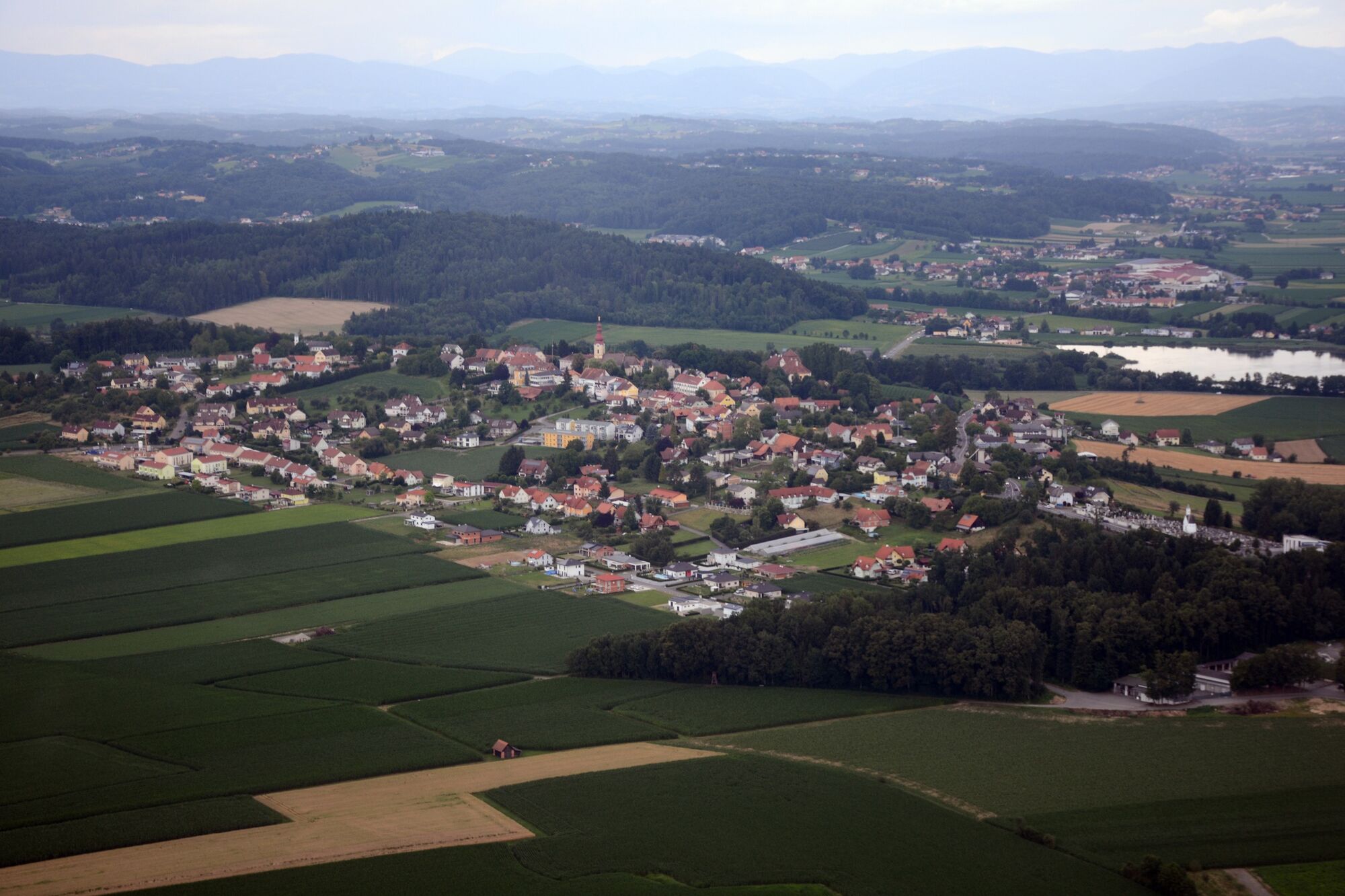
The Fladnitz circuit leads to various places of spiritual contemplation in the midst of the rolling hilly landscape.
- Difficulty
-
easy
- Rating
-
- Starting point
-
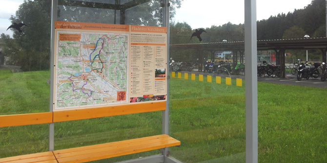
Train station Fladnitz/Studenzen
- Route
-
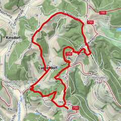
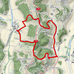
Studenzen-FladnitzGasthaus Wagenhofer0.3 kmFladnitz im Raabtal1.4 kmGasthof Monschein5.0 kmPoitschen5.2 km
- Best season
-
JanFebMarAprMayJunJulAugSepOctNovDec
- Description
-
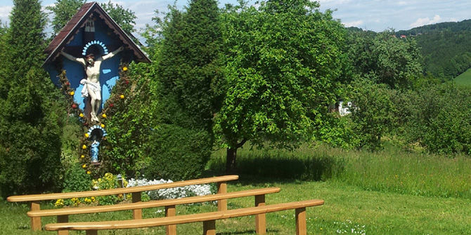
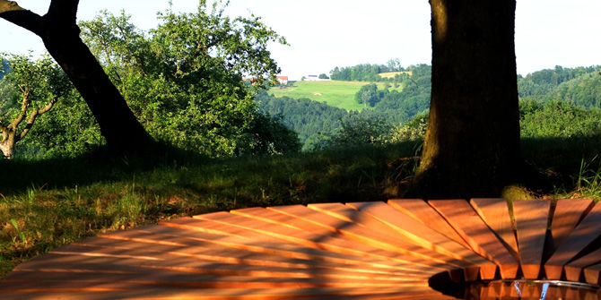
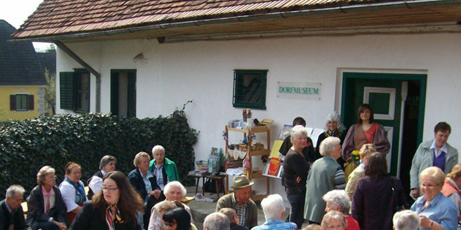
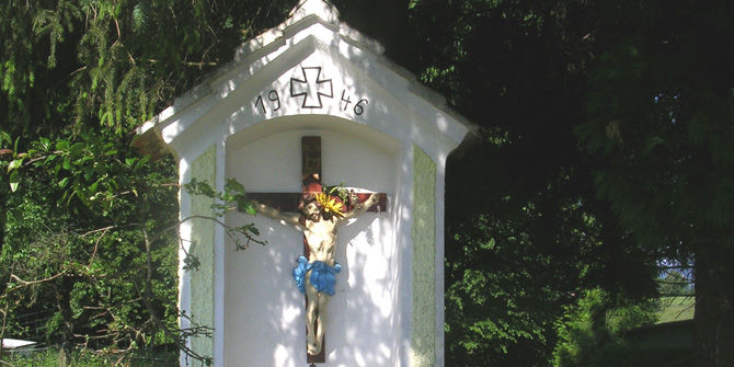
The Schellauf-Marterl on the Fladnitzbergweg appears very delicate and radiates great peace. The group of trees behind the Marterl invites you to linger. The place supports contemplative rest and introspection. The view finds a relationship with the curved hilly landscape to the east. For "hikers" of all seven places of spiritual retreat along the spiritual path between Kirchberg and Unterlamm: A scenic connection with the place of spiritual retreat in Lendegg near Eichkögl is perceptible. If there is enough time, it is worth crossing the main road at the Raabtalhof and taking a break at the Raab below the weir. The marking leads along the Höhenstraße to the Gasthof Monschein and via the "Glasleitn" back down into the valley to the train station. On the way you will also pass the village museum, which is definitely worth a visit!
- Directions
-
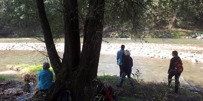
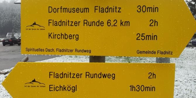
Starting from the train station in Fladnitz-Studenzen, an info point supports the entry into the circular trail. Turn left in the direction of Raabtalhof and then continue across the railroad crossing. At the next house corner, the yellow signs show the way. On the plain you go east to the village museum, then up to the Fladnitzberg. A small path through the forest and at the exit opens a nice resting place - the Schellauf Marterl. Turn left along the Höhenweg past the Fuchs Cross and up a meadow path to the "Pfarrers Weingarten" lookout point on Poitschen. The marking leads along the Höhenstraße to the Monschein inn and via the "Glasleitn" back down into the valley to the train station.If enough time is available, it is worth crossing the main road at the Raabtalhof and taking a rest by the Raab below the weir.
- Highest point
- 432 m
- Endpoint
-
Train station Fladnitz/Studenzen
- Height profile
-

- Equipment
-
Proper backpack packing makes many things easier: Pack heavy things first. The water bottle should always be within reach in a side pocket. All the things that are often needed, such as sunglasses, camera or hiking map, belong on top. An emergency kit, including blister plasters, belongs in every rucksack and it is always advisable to dress in layers.
- Safety instructions
-
Emergency call mountain rescue: 140
ambulance: 144
European emergency call: 112
firefighters: 122
police: 133Tips when reporting an emergency – Answer these six WH questions: What happened? How many people are injured? Where did the accident happen (are there GPS coordinates)? Who is reporting the incident (callback number)? When did the accident happen? What is the weather like at the site of the incident?
- Tips
-
Linger and feel the power and tranquility of the various places of spiritual retreat!
- Additional information
- Directions
- Public transportation
-
Detailed information about arriving by ÖBB (Austrian Federal Railways) can be found at www.oebb.at or on the Verbundlinie Steiermark website www.busbahnbim.at
With Verbundlinie’s BusBahnBim route planner app, planning your journey has never been easier: simply enter towns and/or addresses, stop names or points of interest to check all bus, train and tram connections in Austria. The app is available free of charge for smartphones – on Google Play and in the App Store
- Parking
-
Parking is available.

-

-
AuthorThe tour Fladnitzer Runde is used by outdooractive.com provided.


General info
-
Oststeiermark
2126
-
Region Gleisdorf
1005
-
Kirchberg an der Raab
99