


- Brief description
-
A leisurely hike past some of the original locations of the ZDF series "Die Bergretter".
- Difficulty
-
easy
- Rating
-
- Starting point
-
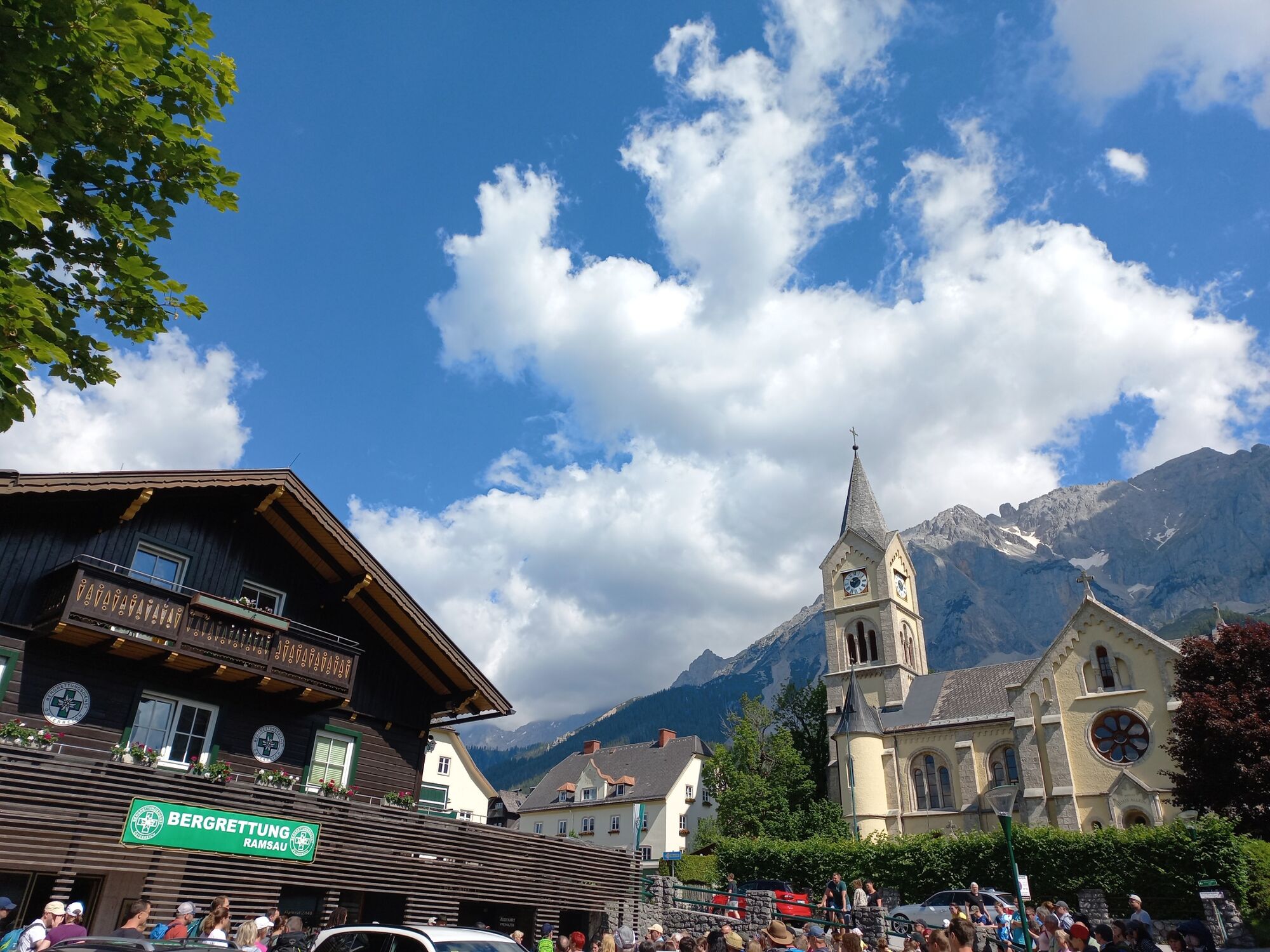
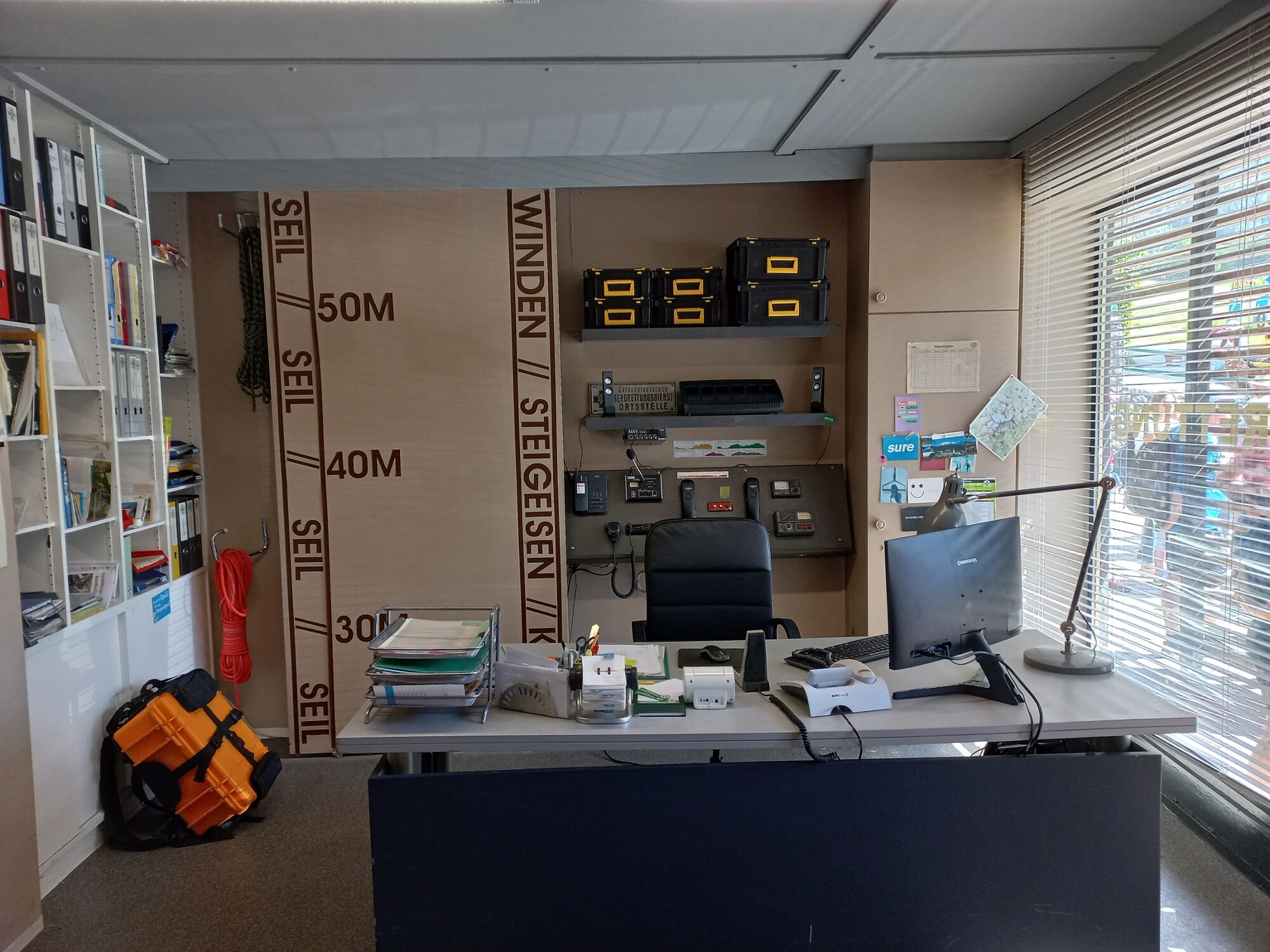
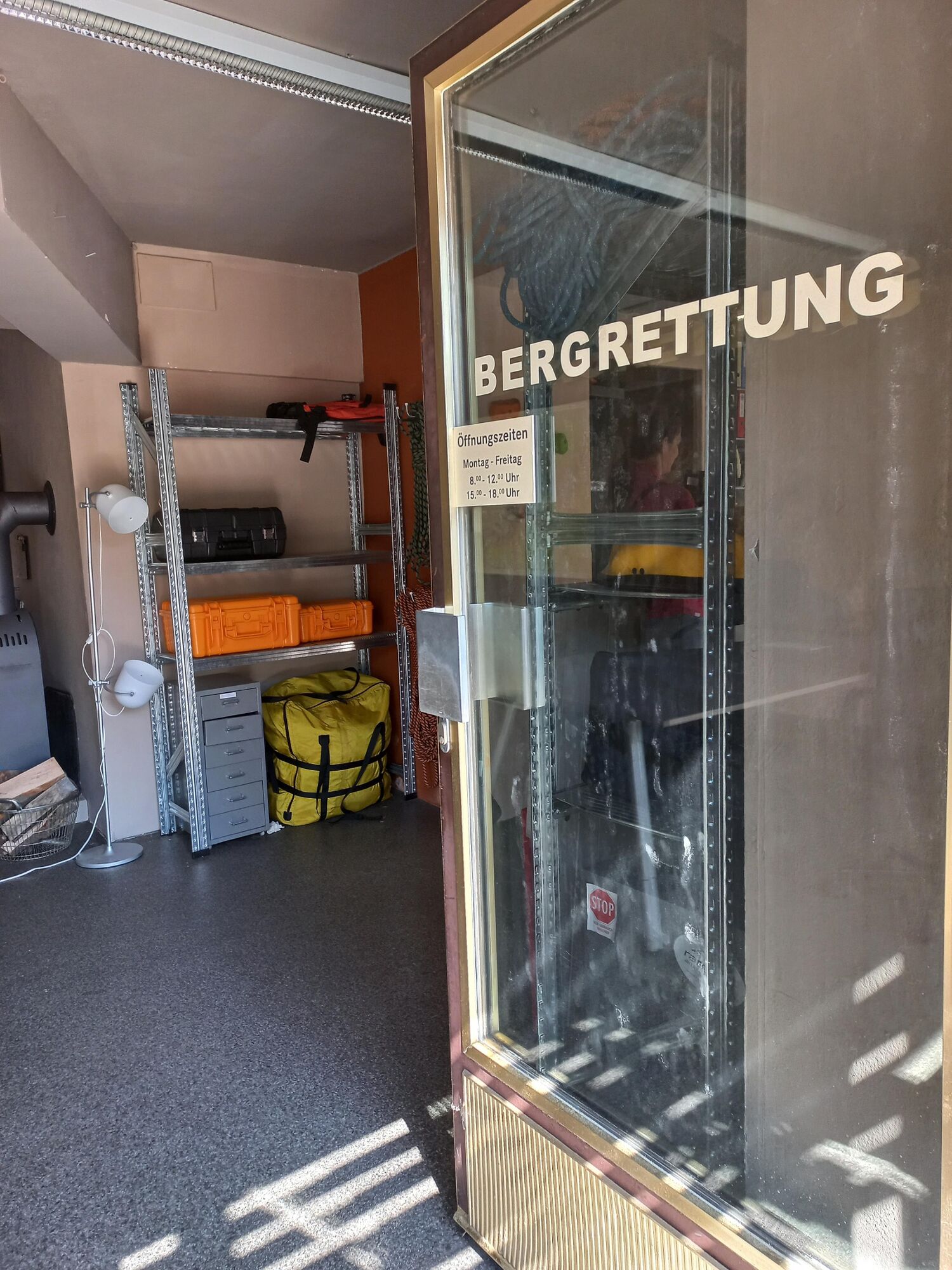
Bergretter Zentrale in Ramsau Ort
- Route
-
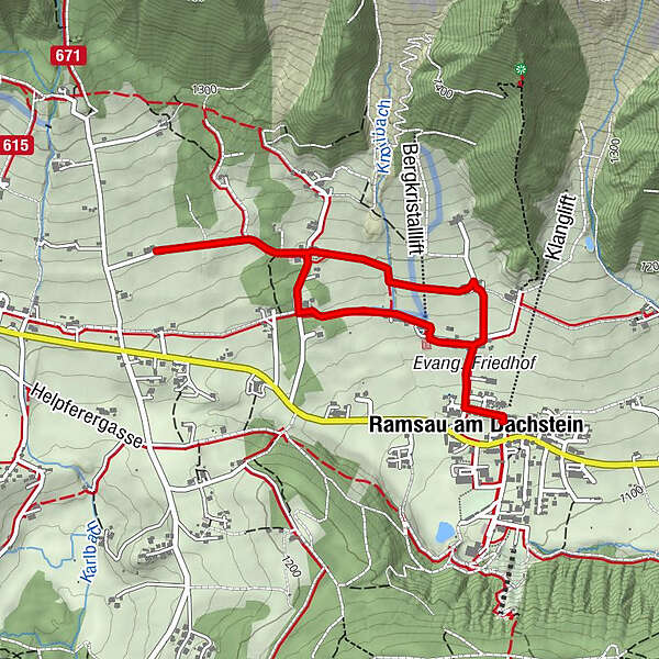
Evang. Pfarrkirche0.0 kmRamsau am Dachstein0.1 kmRamsbergerstube2.6 kmEvang. Pfarrkirche4.0 km
- Best season
-
JanFebMarAprMayJunJulAugSepOctNovDec
- Description
-
On the trail of the "Mountain Rescuers". A leisurely hike past some of the original locations of the ZDF series "Die Bergretter".
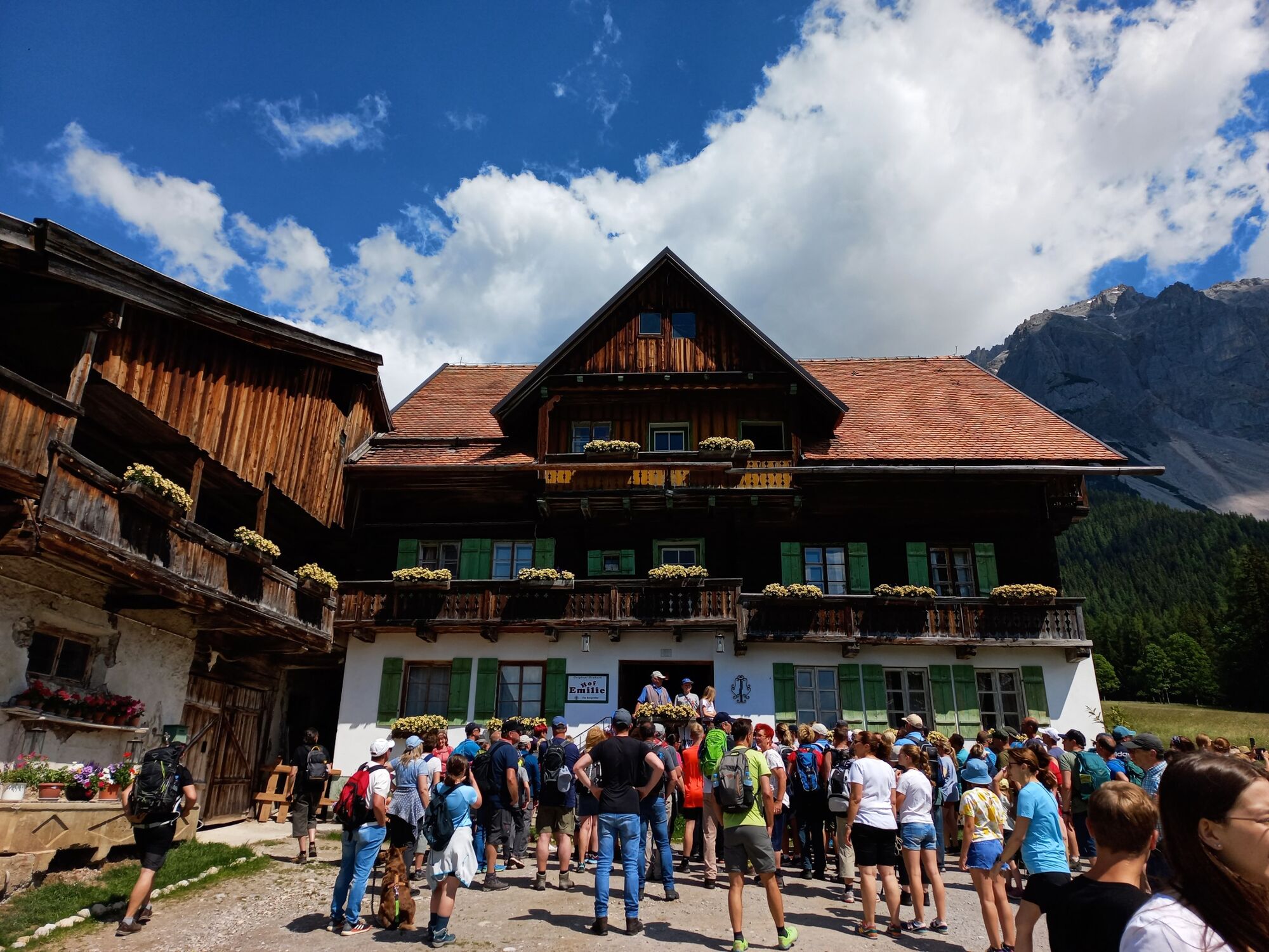
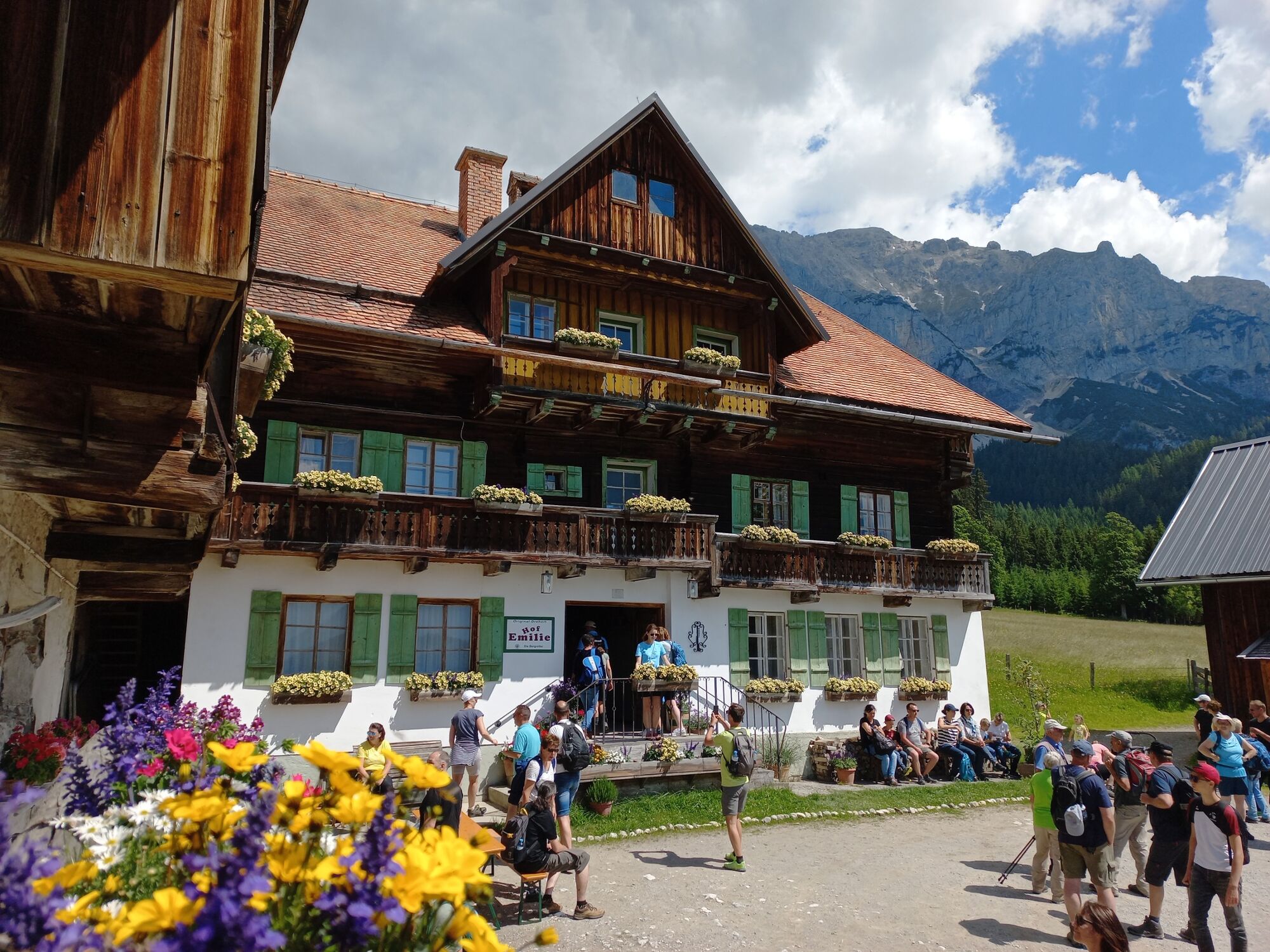
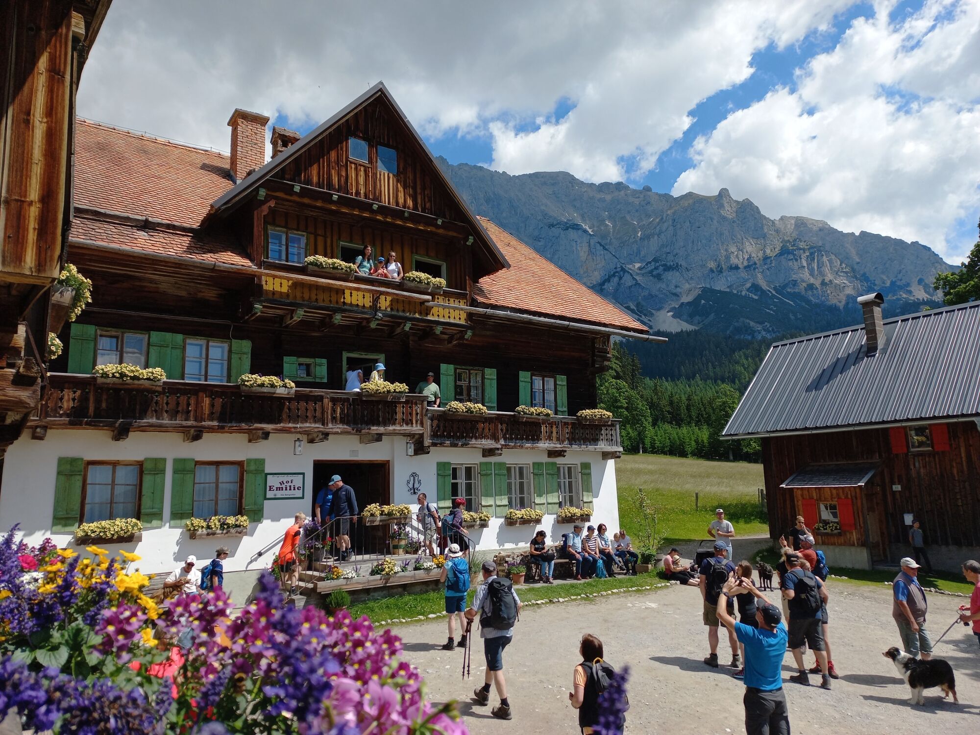
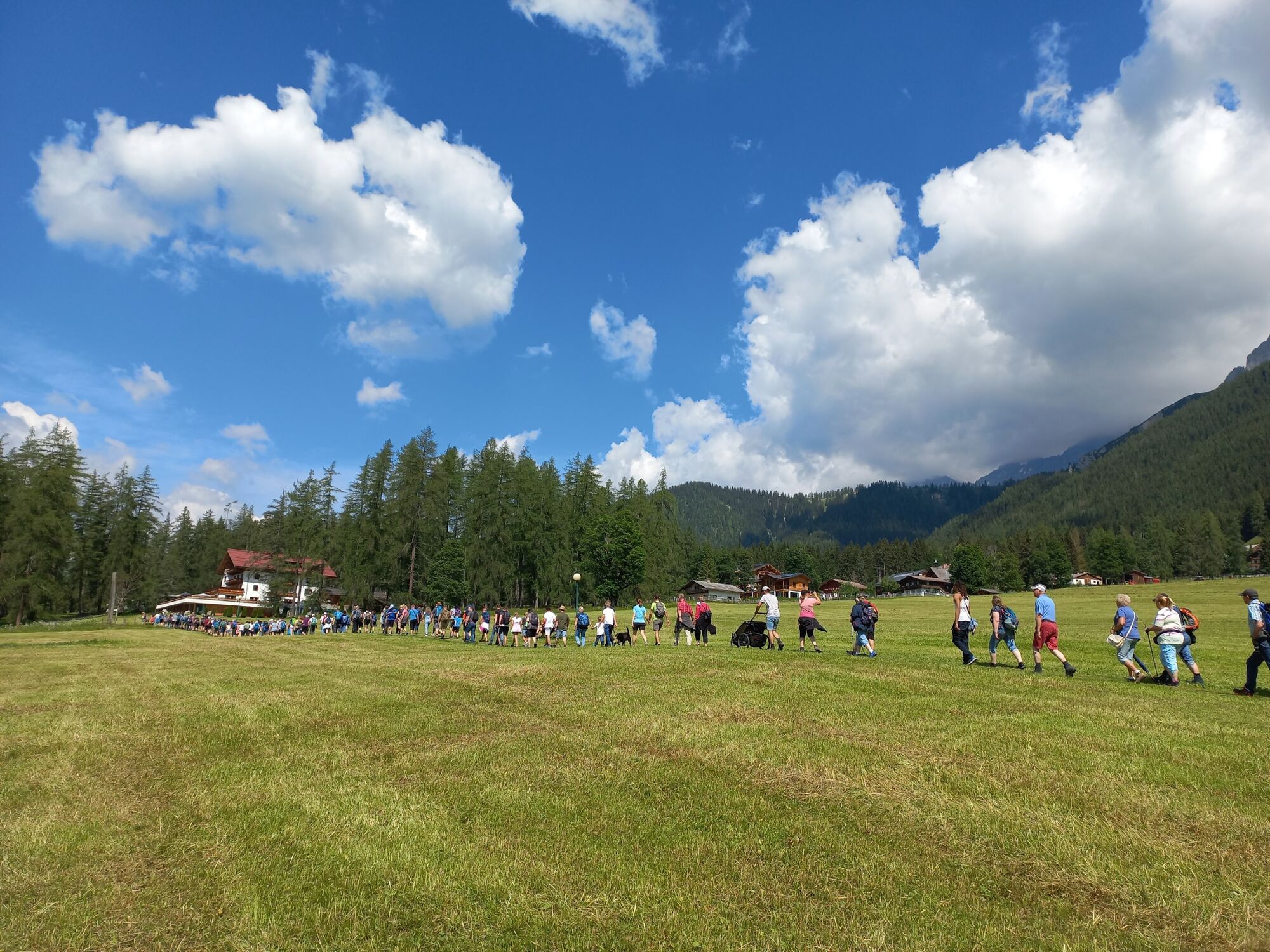
Every Friday during the summer months, the guided hike to "Emilis Hof" takes place.
Start of the guided hike is at 10:00 am at the Bergretter headquarters in Ramsau place opposite the Hotel Pehab. Short tour of the headquarters, then it goes in about 30 minutes to the Pernerhof - "Emilies Hof".
The guided hike takes place in any weather, from 20.05.2022 to 28.10.2022, every Friday.
Duration: approx. 2 - 2,5 hours
no registration necessary, everyone is welcome
All details and information can be found HERE
- Directions
-
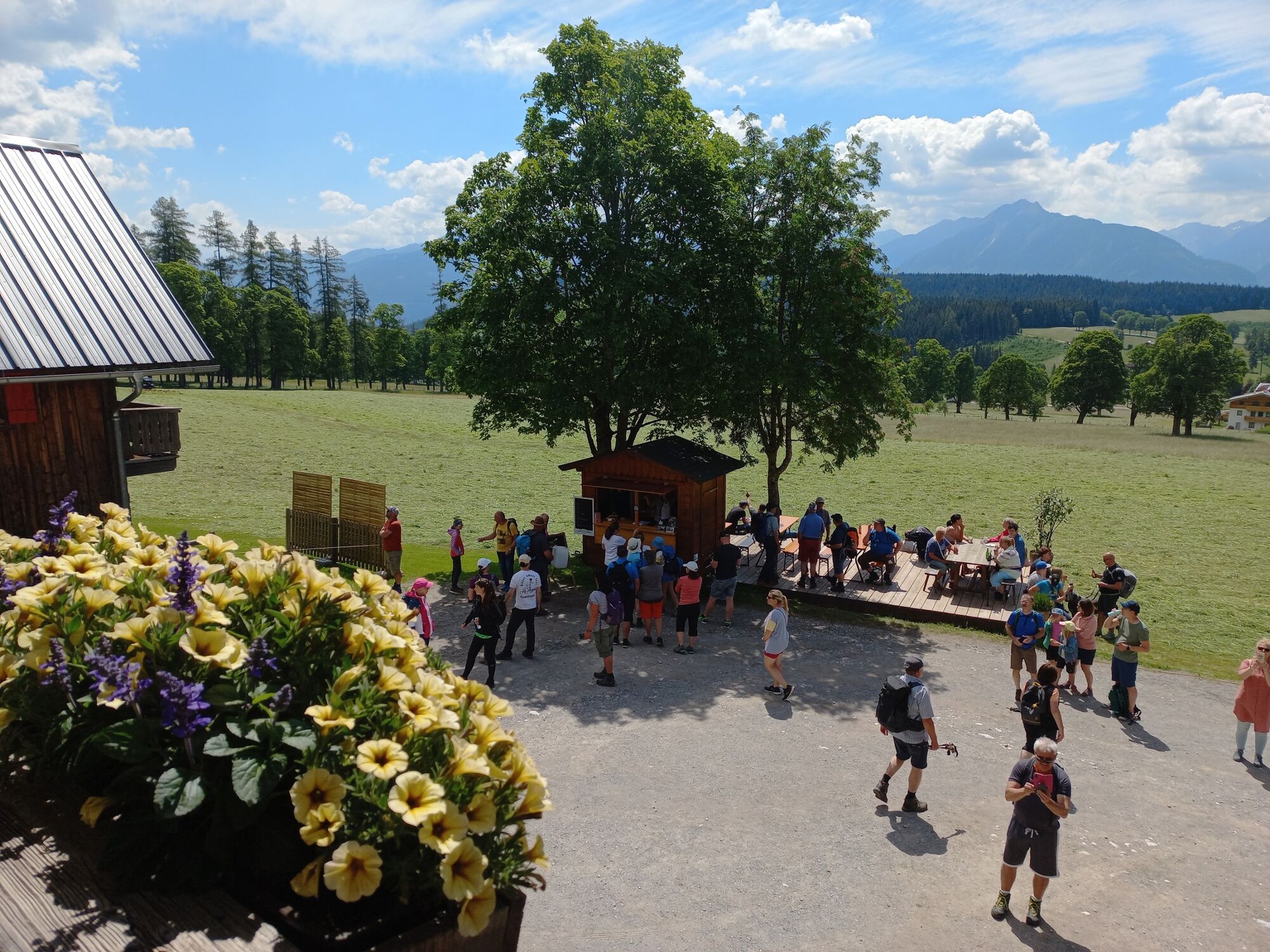
You start at the Bergretter headquarters in Ramsau Ort, opposite the Hotel Perhab. Via the Friedhofsstraße you walk up to the Hotel Knollhof. The path leads you past the right side of the hotel and brings you to the idyllic forest road to the Hotel Lindenhof. Now follow the road up to the Hotel Lindenhof and turn left again after the hotel onto the forest path. At the end of the path you will reach the Pernerhof or better known as "Emilies Hof".
After a short rest, take the forest road back to the Hotel Lindenhof, but walk straight on, past the Ramsbergerhof and come back to the Freidhofsstraße. Finally, we recommend a visit to the impressive Protestant church in Ramsau.
- Highest point
- 1,232 m
- Endpoint
-
Bergretter Zentrale in Ramsau Ort
- Height profile
-

- Equipment
-
Walking attire.
- Tips
-
Check the info office for the guided hike on Friday
- Additional information
- Directions
-
From the B320 to Ramsau am Dachstein
- Public transportation
- Parking
-
Dachstein Event Zentrum Ramsau Ort
-

-
AuthorThe tour Following the Footsteps of "Die Bergretter" is used by outdooractive.com provided.


General info
-
Schladming - Dachstein
3001
-
Ramsau am Dachstein
1689
-
Ramsau am Dachstein
479


