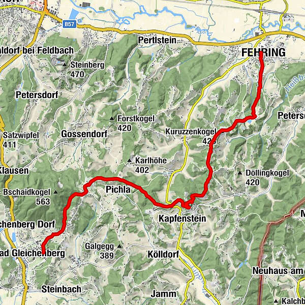
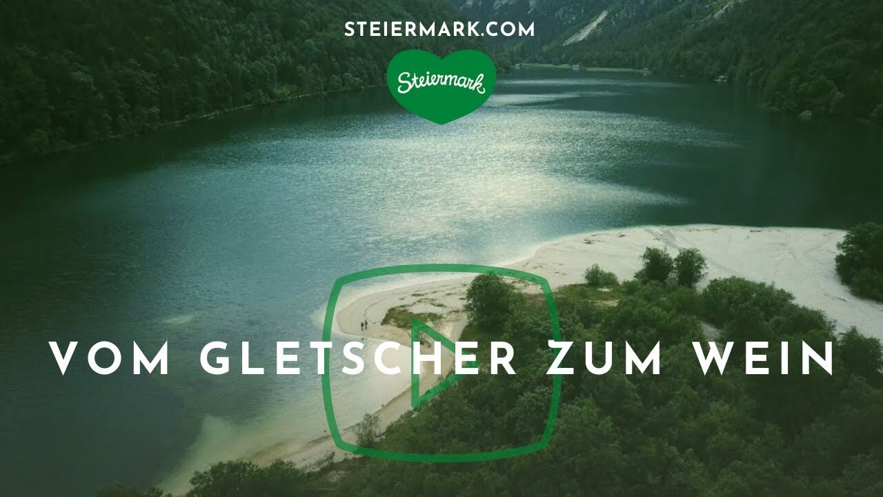
Stage 33 From Glacier to Wine North Route Fehring - Bad Gleichenberg


- Brief description
-
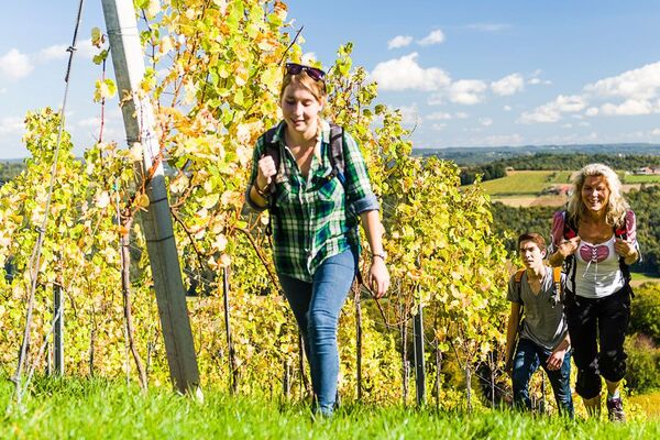
Right into the heart of Thermen- & Vulkanland Styria: This stage of the hiking route "From Glacier to Wine" takes us from the small town of Fehring in the Raab Valley to the historic spa town of Bad Gleichenberg, one of the six spa locations in Thermen- & Vulkanland Styria. A steady gentle uphill and downhill are just as characteristic of the tour as the numerous Buschenschänken along the route, which brings us to what is probably one of the most beautiful places in the Thermen- & Vulkanland, Kapfenstein Castle with the surrounding vineyards of the Winkler-Hermaden winery.
- Difficulty
-
easy
- Rating
-
- Starting point
-
Fehring
- Route
-
Fehring0.1 kmBurgfeld2.8 kmKuruzzenschenke3.6 kmKuruzzenkogel (425 m)3.7 kmKuruzzenkogelkapelle3.7 kmHeißberg4.1 kmPfarrkirche zum Hl. Nikolaus7.5 kmKapfenstein7.5 kmBuschenschank Puff8.2 kmHofleiten bei Kapfenstein8.2 kmPichla10.2 kmBad Gleichenberg14.9 km
- Best season
-
JanFebMarAprMayJunJulAugSepOctNovDec
- Description
-
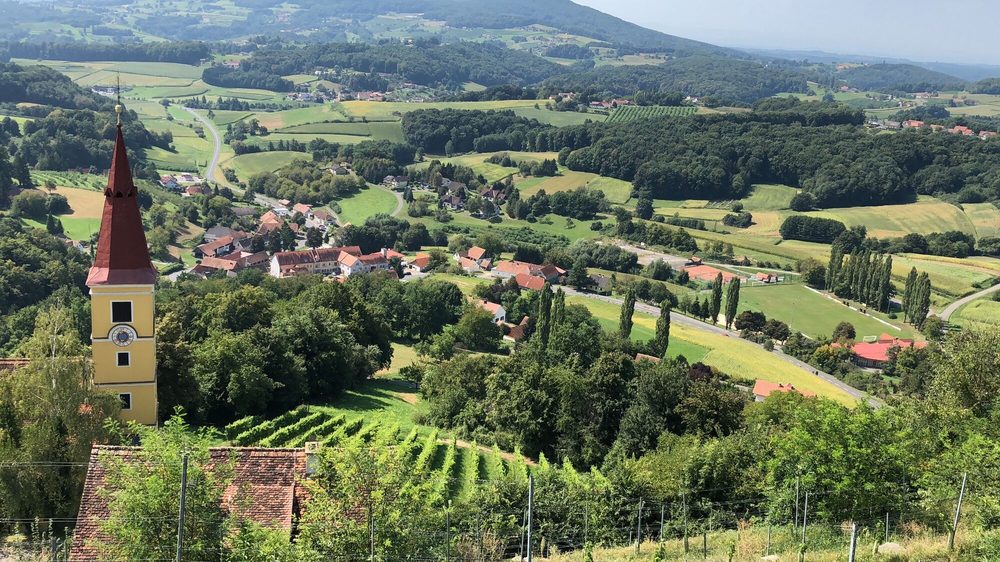
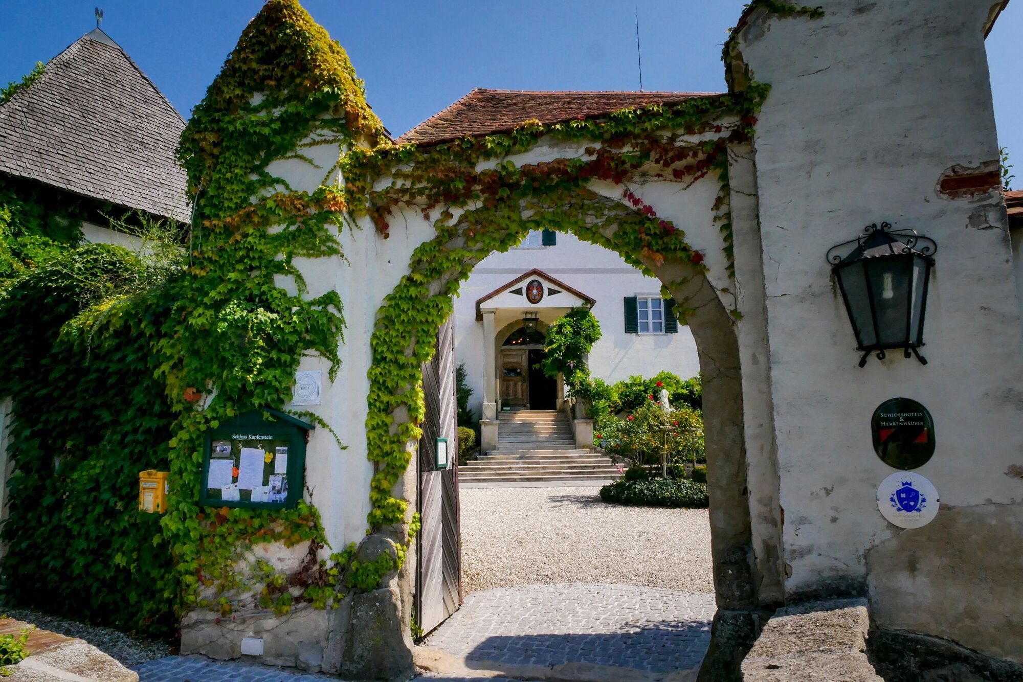
Again and again, this tour offers us views of the volcanic cones of Riegersburg and Kapfenstein, the Gleichenberger Kogel, the Stradner Kogel and Graz's local mountain Schöckl in the distance. The East Austrian Borderland Trail 07 and the "Handspurweg" of the Vulkanland Trail help us find our way to Kapfenstein. Kapfenstein Castle towers over the southeastern part of Styria as the second significant castle, next to Riegersburg Castle, since the 11th century. Today, the heart of the former fortress represents a small family-run hotel with a restaurant and beautiful castle terraces that offer a dreamlike view over the hill country. It is not only a place with history, but truly a place that makes longings grow and invites you to linger.
- Directions
-
On this stage of the hiking route "From Glacier to Wine" we leave the historic small town of Fehring in the Raab Valley in a southerly direction past the fire station and along Sinzingergasse. At the sign "Vulkanarena Fehring" we turn right into the forest and soon come to the geomantic power place Vulkanarena. The power and the pleasure not enough, invite us on this tour also repeatedly Buschenschänken to stop. Then we keep to the right on the road and come to the Kuruzzenschenke of the Konrad Winery, where we head straight into the forest. Here we use a path for the ascent to the Kuruzzenkogel. You could also pass below the Kogel, but the chapel built in 1895 by the Konrad family and the resting place are worth the effort of the climb.
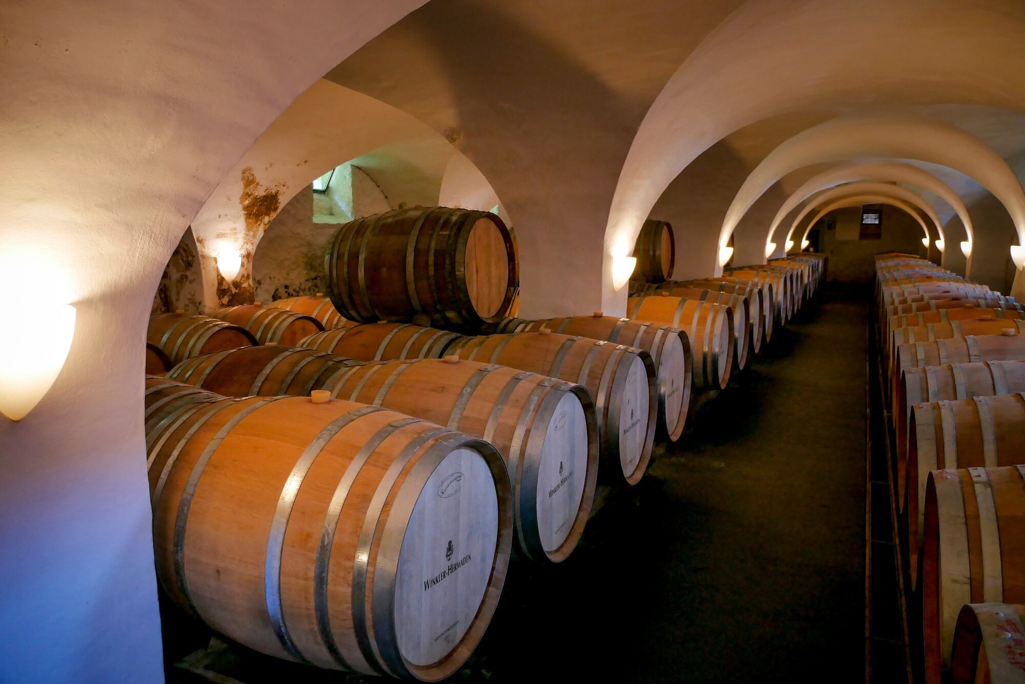
About halfway up, we reach the Kapfensteiner Kogel, an extinct volcano that is now not only home to a beautiful castle hotel, but also one of the best wineries in Styria. At the Winkler-Hermaden winery, the vines or wines are worked according to organic guidelines in the third generation. The main white varieties are Sauvignon blanc, Traminer & Gewürztraminer, but also Burgundy varieties such as Pinot Blanc and Pinot Gris. The most important red wine variety in the repertoire is the Blaue Zweigelt, which is also found 100% in the well-known Olivin. The Blaue Zweigelt is followed by Merlot and Pinot noir.
After a well-deserved rest, we descend to the church, either via the parking lot and the street or directly through the tiered garden. The parish church, dedicated to St. Nicholas, is a very popular place for weddings and baptisms from the near and far surroundings. Above the church, passing the rectory, we enter a beautiful forest in a westerly direction. Soon after, we turn left to the Buschenschenke Puff, cross a country road and come to the "Red Cross" wayside shrine on path 780. We continue on trail 780 to Steinriegl-Absetz, where we soon leave the Absetzstraße to the right, however, in order to get down to Bad Gleichenberg via the Eichgrabenweg.
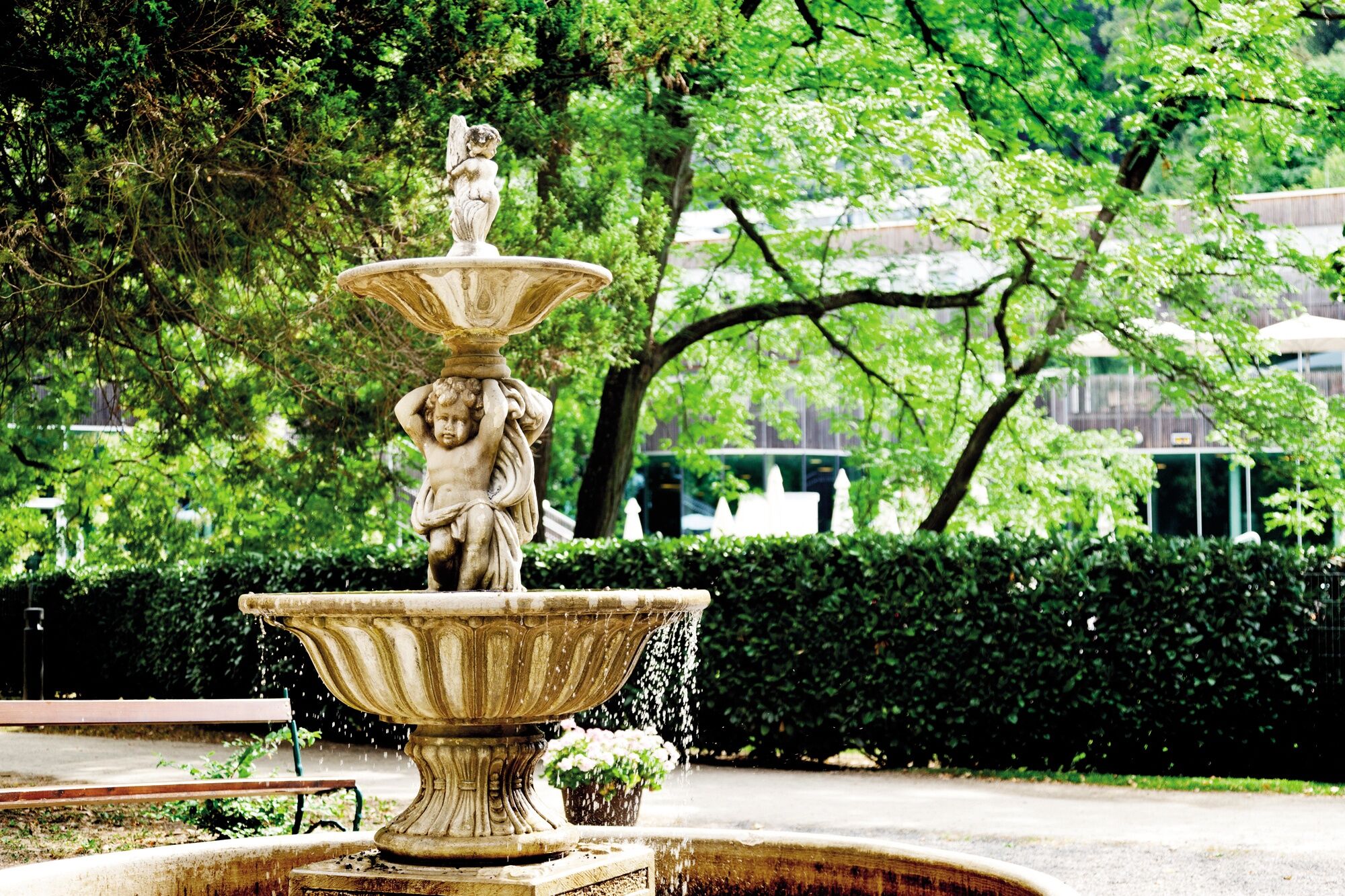
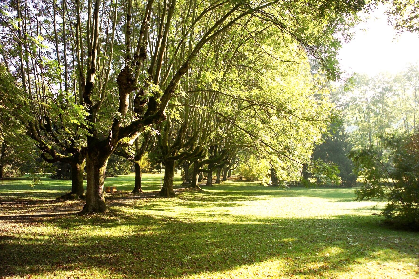
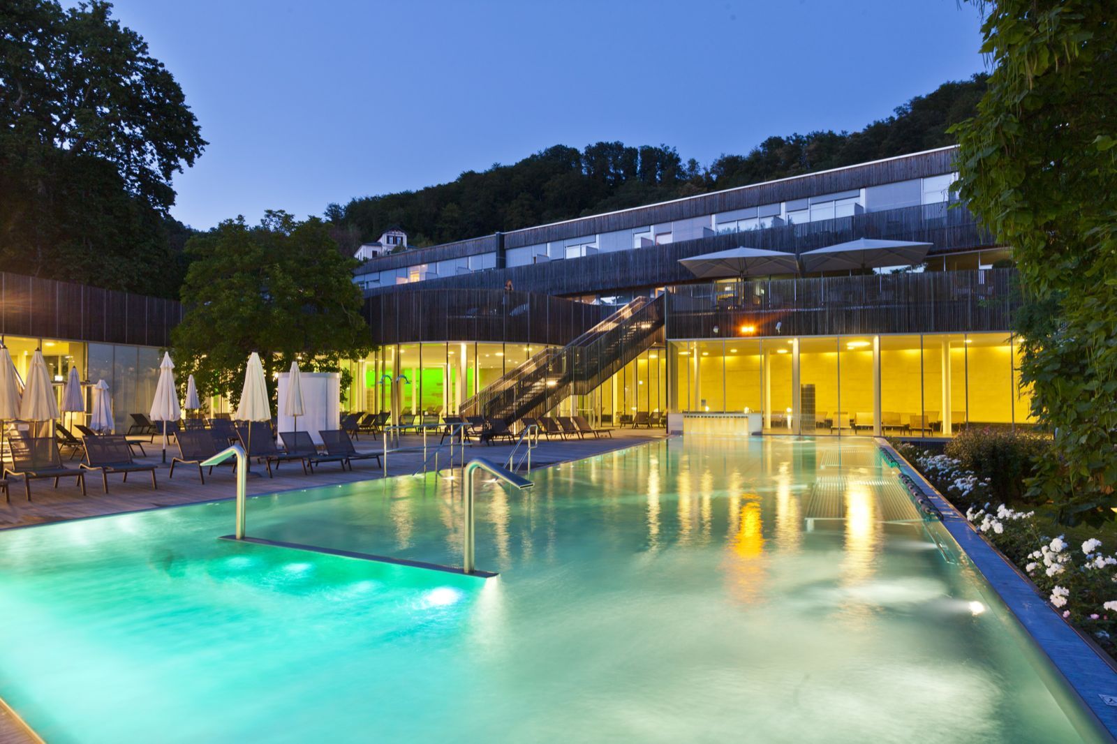
In recent years, the historic spa town of Bad Gleichenberg has managed to turn a long-held tradition into a modern tourist and recreational destination. The centerpiece is the 20-hectare spa park, where native and exotic trees and shrubs line the paths. Healing springs, in turn, are the basis for over 180 years of development and the modern spa, which makes Bad Gleichenberg a distinctive health resort in interaction with the surrounding volcanic landscape. This beautiful landscape also accompanies us on the next stage to the wine village of Klöch.
- Highest point
- 446 m
- Endpoint
-
Bad Gleichenberg
- Height profile
-

- Equipment
-
Proper backpack packing makes many things easier: Pack heavy things first. The water bottle should always be within reach in a side pocket. All the things that are often needed, such as sunglasses, camera or hiking map, belong on top. An emergency kit, including blister plasters, belongs in every rucksack and it is always advisable to dress in layers.
- Safety instructions
-
Emergency call mountain rescue: 140
Tips when reporting an emergency – Answer these six WH questions: What happened? How many people are injured? Where did the accident happen (are there GPS coordinates)? Who is reporting the incident (callback number)? When did the accident happen? What is the weather like at the site of the incident?
- Tips
-
In the Thermen- & Vulkanland region of Styria, Eastern Styria and Southern and Western Styria, the GenussCard opens the door to over 200 excursion destinations when you stay overnight in one of the approximately 100 GenussCard partner establishments. Countless of these GenussCard excursion destinations, ranging from culinary manufactories to bathing lakes and museums, are located directly on the hiking route "From Glacier to Wine".
- Additional information
-
Steiermark Tourismus
Tel. +43 316 4003
If you would like to hire a tour operator, simply book with Steiermark Touristik, the official travel agency of Steiermark Tourismus:
Tel. +43 316 4003 450,
The Steiermark Touren app, available free of charge on Google Play and the App Store (Android, iOS), offers detailed first-hand information: brief facts (length, duration, difficulty, ascent and descent/elevation gain, ratings), map, route descriptions, altimeter, compass, peak finder, navigation along the tour. You can also create your own personal lists of favourite tours and sites, store tours and destinations offline, use social media channels, and much more.
- Public transportation
-
Accessible by train and bus.
Detailed information about arriving by ÖBB (Austrian Federal Railways) can be found at www.oebb.at or on the Verbundlinie Steiermark website www.busbahnbim.at
With Verbundlinie’s BusBahnBim route planner app, planning your journey has never been easier: simply enter towns and/or addresses, stop names or points of interest to check all bus, train and tram connections in Austria. The app is available free of charge for smartphones – on Google Play and in the App Store
- Parking
-
In Fehring there are several parking facilities and parking spaces available.

-

-
AuthorThe tour Stage 33 From Glacier to Wine North Route Fehring - Bad Gleichenberg is used by outdooractive.com provided.


General info
-
Thermen- & Vulkanland
1324
-
Bad Gleichenberg
372
-
Kapfenstein
170