


- Brief description
-
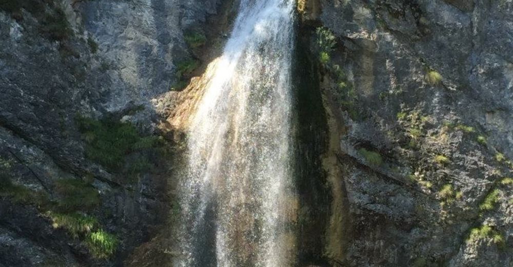
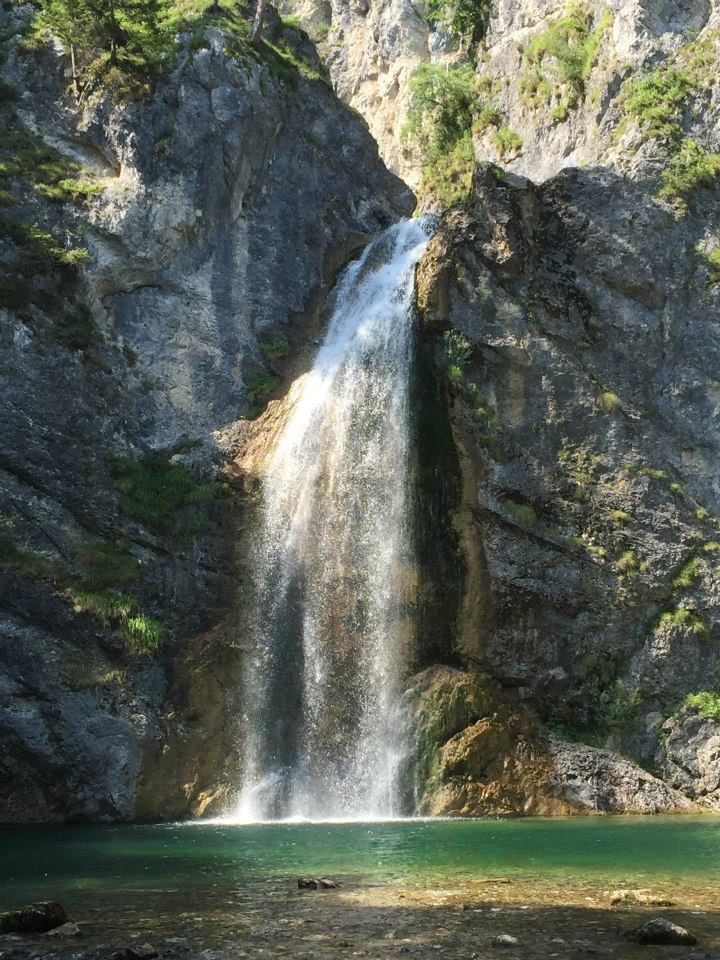
The Salza waterfall is an idyllic spot in the Gröbminger Land and offers a tremendous nature experience. Leave everyday life behind you and enjoy the spectacle of the water when the 40 m high spray of the waterfall flows into a "lagoon".
- Difficulty
-
easy
- Rating
-
- Starting point
-
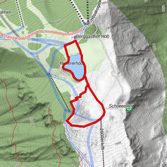
Car park Salza
- Route
-
Salza0.2 kmSalza3.7 km
- Best season
-
JanFebMarAprMayJunJulAugSepOctNovDec
- Description
-
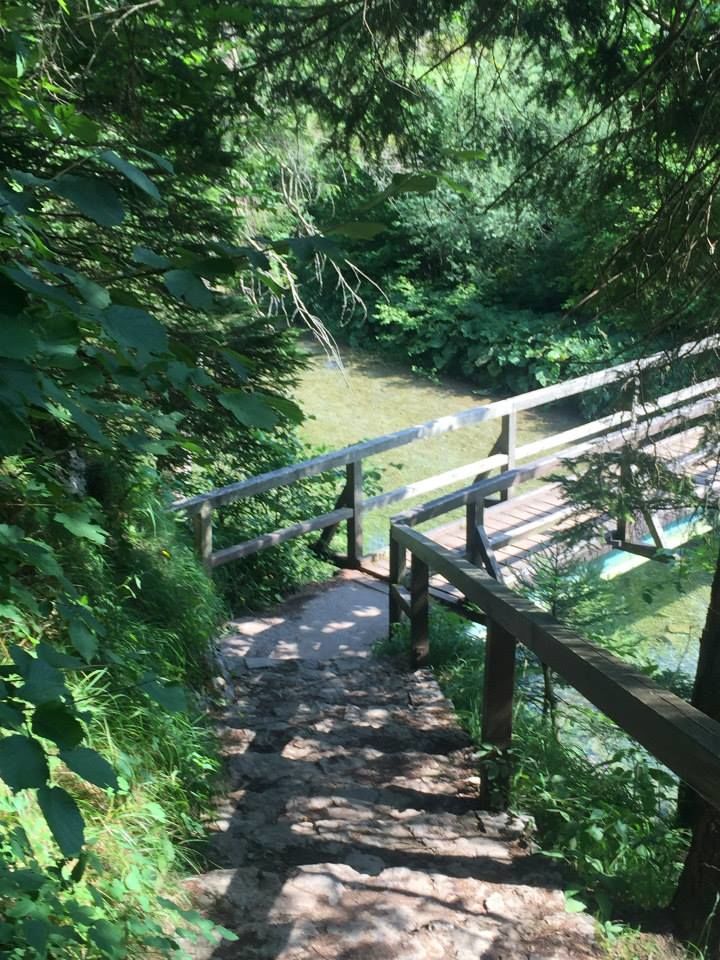
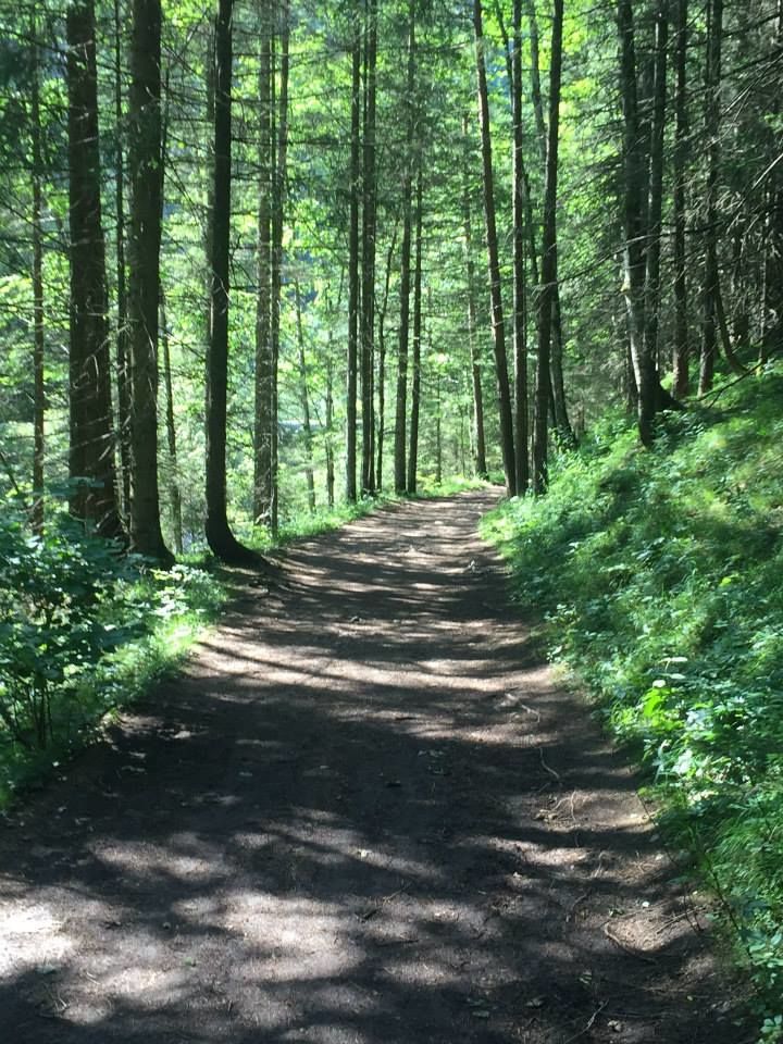
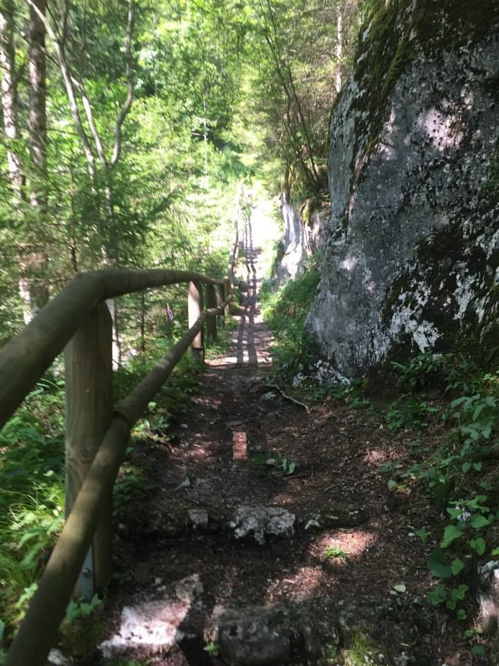
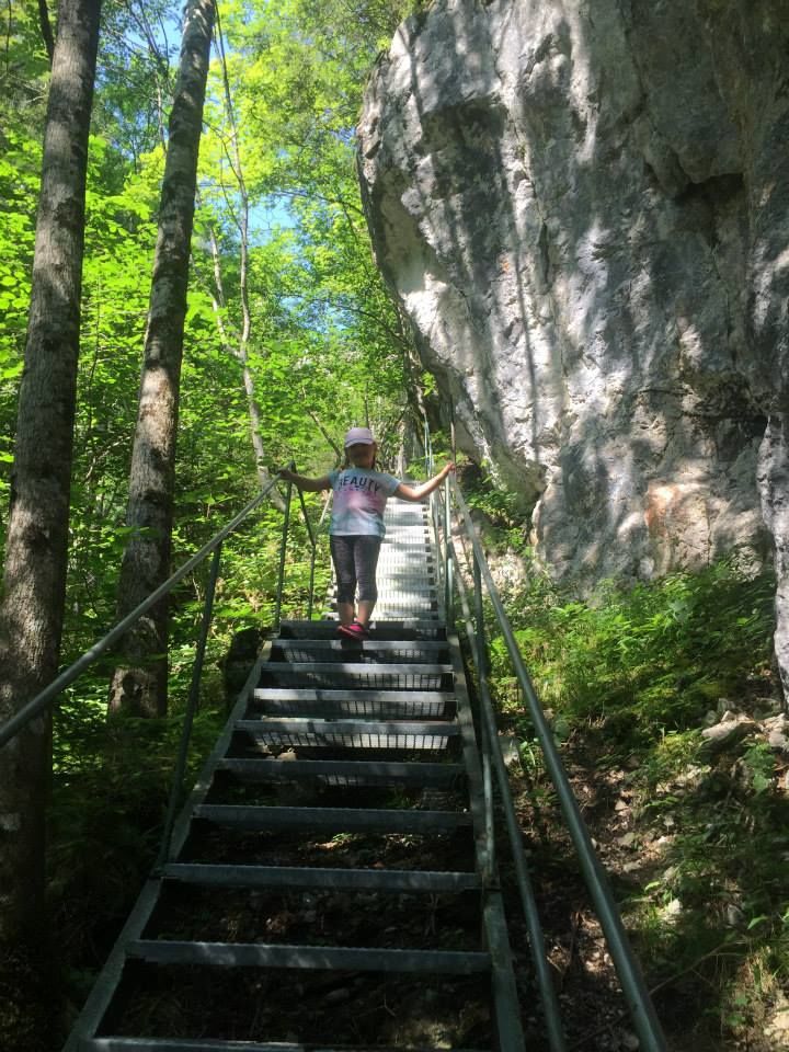
An ideal place for humans and animals to spend time together and be fascinated by the spectacle of the water when the 40m high spray of the waterfall flows into a "lagoon". The tour starts at the new car park directly after the entrance to the Salza. Follow the signs along the road until you reach the bridge, where you then turn right over a footbridge to the waterfall.
Note: From the bridge uphill to the left, you reach the Salza reservoir after a longer walk.
- Directions
-
An ideal place for humans and animals to spend time together and be fascinated by the spectacle of the water when the 40m high spray of the waterfall flows into a "lagoon". The tour starts at the new car park directly after the entrance to the Salza. Follow the signs along the road until you reach the bridge, where you then turn right over a footbridge to the waterfall.
Note: From the bridge uphill to the left, you reach the Salza reservoir after a longer walk.
- Highest point
- 705 m
- Endpoint
-
Salza Waterfall
- Height profile
-

- Equipment
-
For alpine routes, the basic equipment includes a hood, gloves, a good jacket and trousers. Good, waterproof shoes, sunglasses, sun protection and plenty of drinks are essential. Flashlight, maps, knives and a small first aid box are also included.
- Safety instructions
-
Weather upheavals, rapid drops in temperature, thunderstorms, wind, fog and snowfields are objective dangers and require the right behaviour on the road. Hutkeepers are experienced mountain connoisseurs who can give good tips on the weather and the route. Lack of equipment, overestimation of one's own abilities, carelessness, poor physical condition and a wrong assessment can lead to critical situations. During thunderstorms: Avoid peaks, ridges and rope belaying at all costs.
In an emergency, please dial the following emergency calls: No. 140 - Mountain Rescue No. 112 - Euro Emergency Call
- Additional information
-
Tour at your own risk! No liability will be accepted for any given or occurring alpine driving (weather, etc.).
- Directions
-
B320 federal road - Salza junction
- Parking
-
Salza car park

- Author
-
The tour Salza Waterfall is used by outdooractive.com provided.