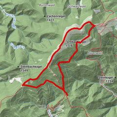
Tour data
9.1km
1,412
- 1,733m
328hm
03:00h
- Brief description
-
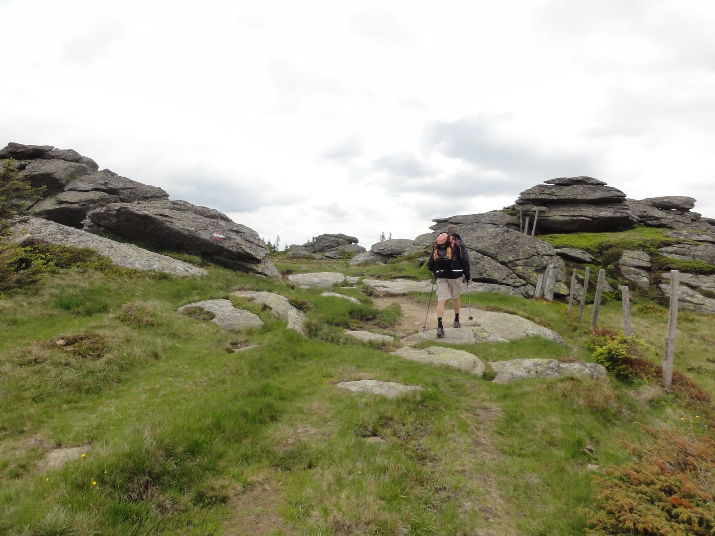
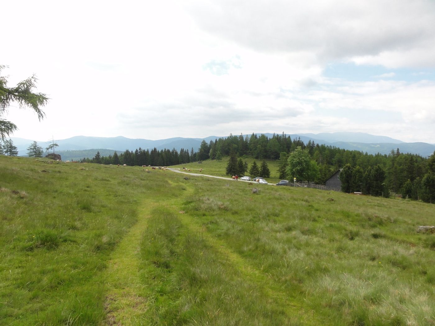
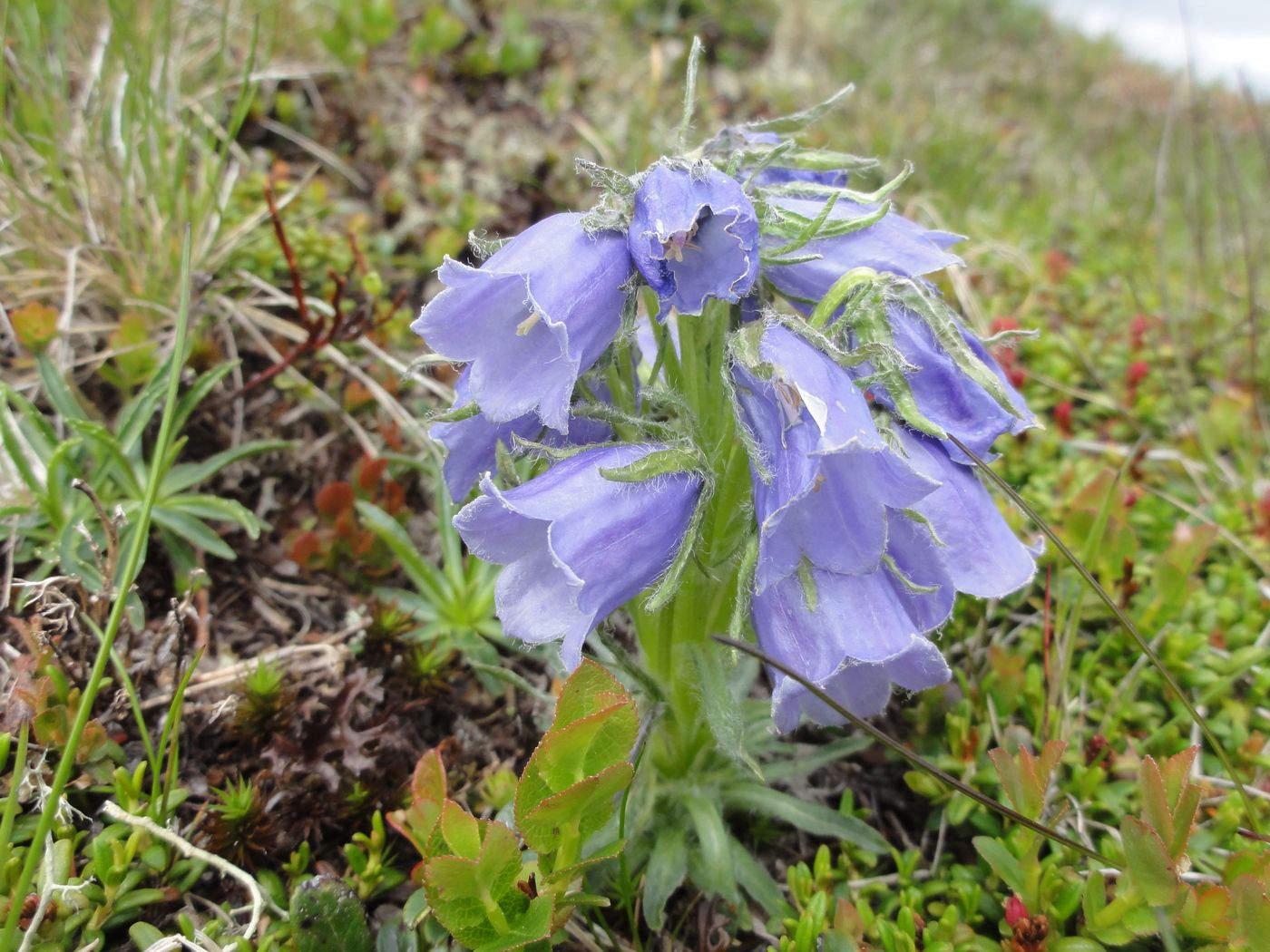
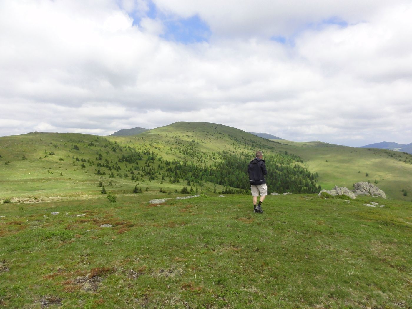
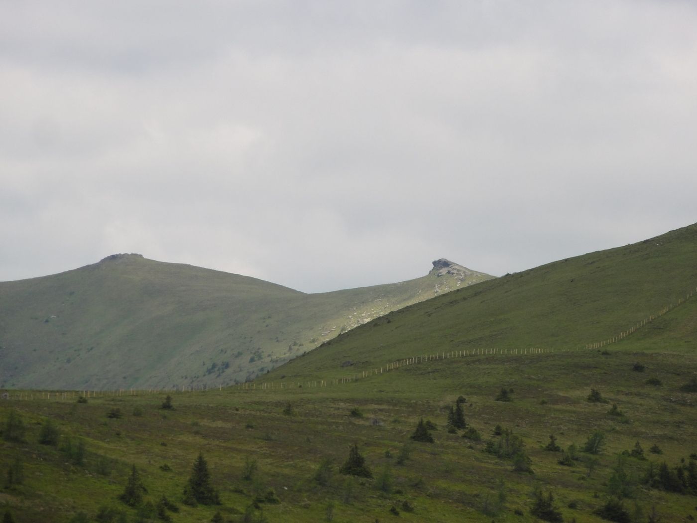
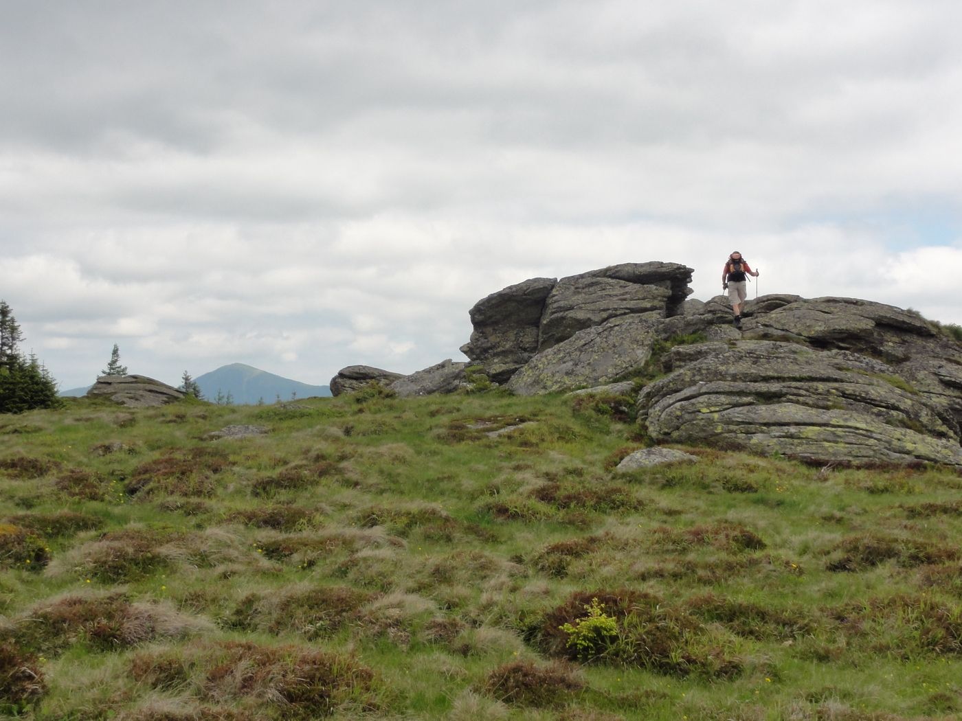
Höhenwanderung
- Rating
-
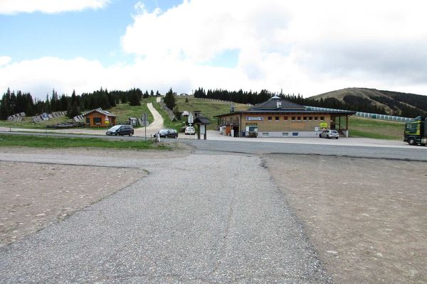
- Starting point
-
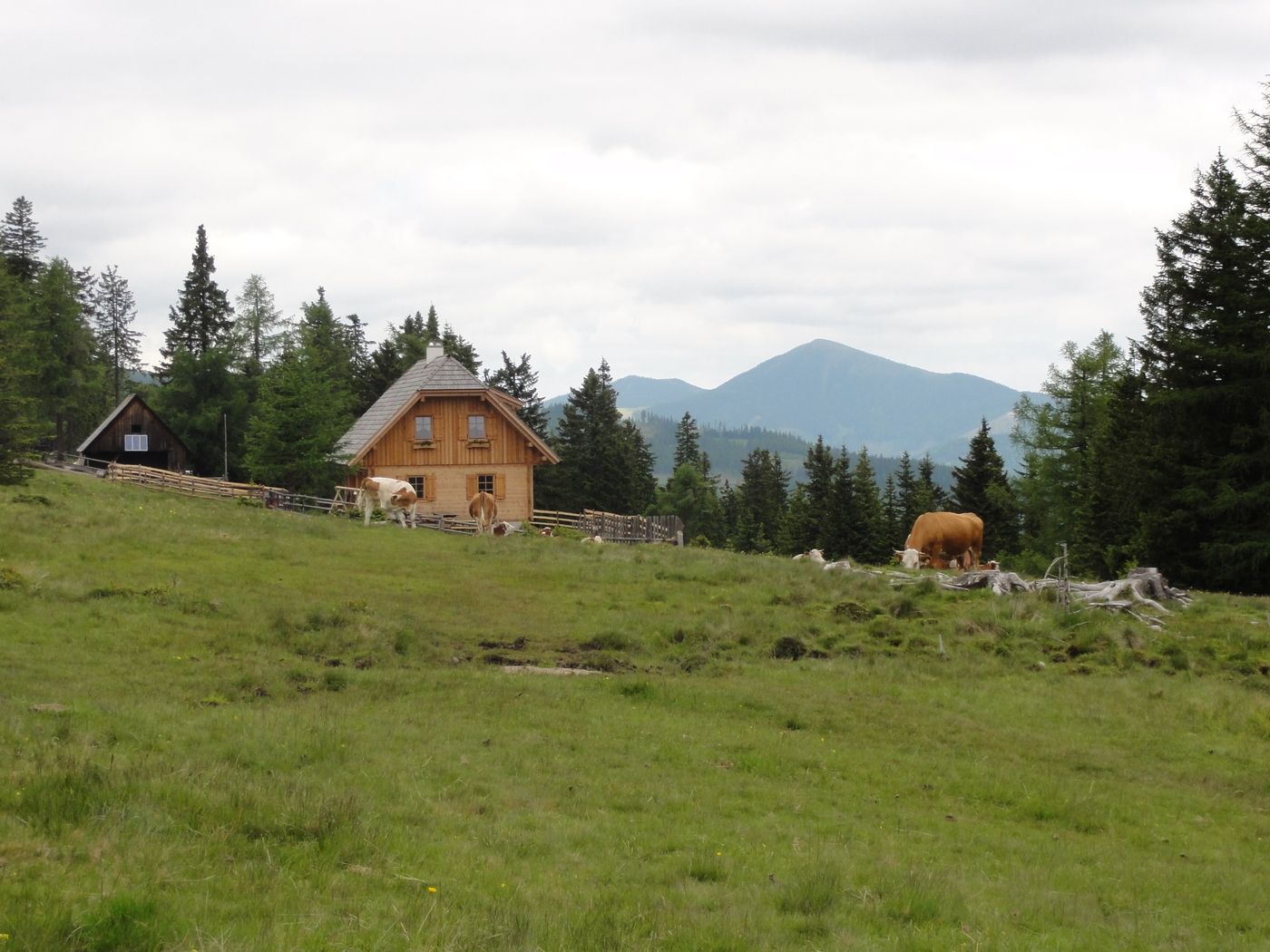
Knödelhütte
- Route
-
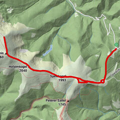
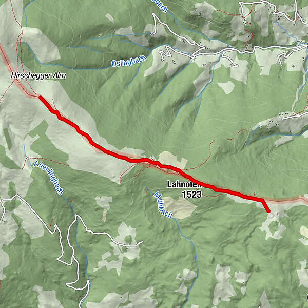
Lahnofen (1,523 m)1.1 kmBernsteinhütte2.1 km
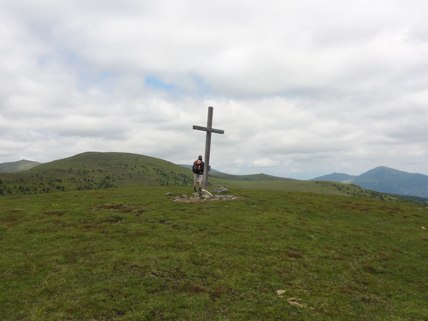
- Highest point
- 1,733 m
- Rest/Retreat
-
Knödelhütte, Bernsteinhütte
- Ticket material
-
Österr. Karte 162, 188
GPS Downloads


Trail conditions
Asphalt
Gravel
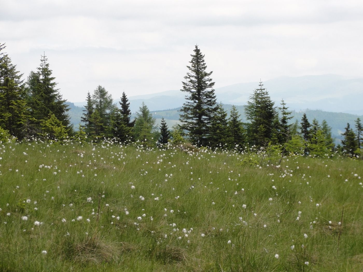
Meadow
Forest
Rock
Exposed
Other tours in the regions
-
Erlebnisregion Murtal
1783
-
Lavanttal
611
-
Hirschegg-Pack
245