


- Brief description
-
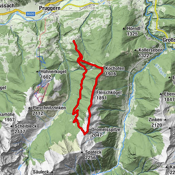
From Michaelerberghaus, you will head via Loskögerl to the Kochofen, where you can enjoy a majestic view of the Sölk and Sattental. From there, continue heading towards Spateck and take the junction towards the Schladming Alps at Schladminger Törl and back to Michaelerberghaus via the Stiegleralm.
- Difficulty
-
medium
- Rating
-
- Starting point
-
Michaelerberghaus
- Route
-
MichaelerbergMichaelerberghausLoskögerl (1,548 m)1.6 kmKochofen (1,916 m)2.9 kmFleischkögel (1,891 m)4.3 kmDromeisspitze (2,047 m)6.7 kmSchladminger Törl (1,945 m)7.2 kmMichaelerberghaus14.9 kmMichaelerberg14.9 km
- Best season
-
JanFebMarAprMayJunJulAugSepOctNovDec
- Description
-
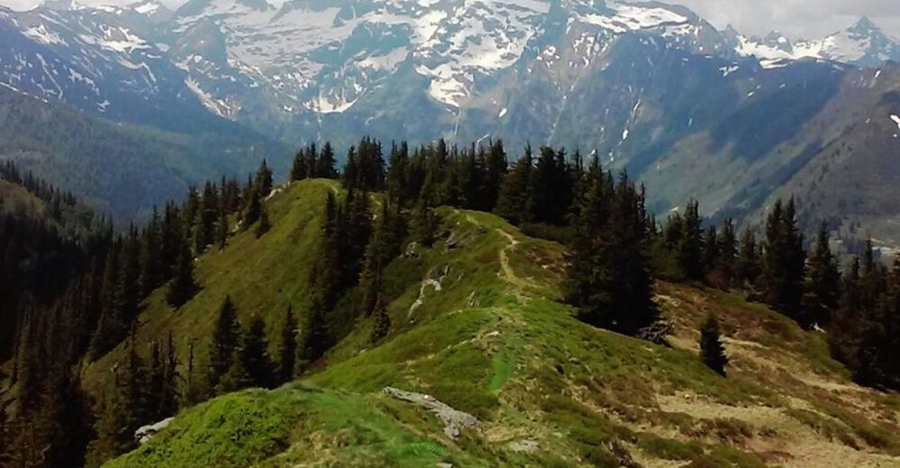
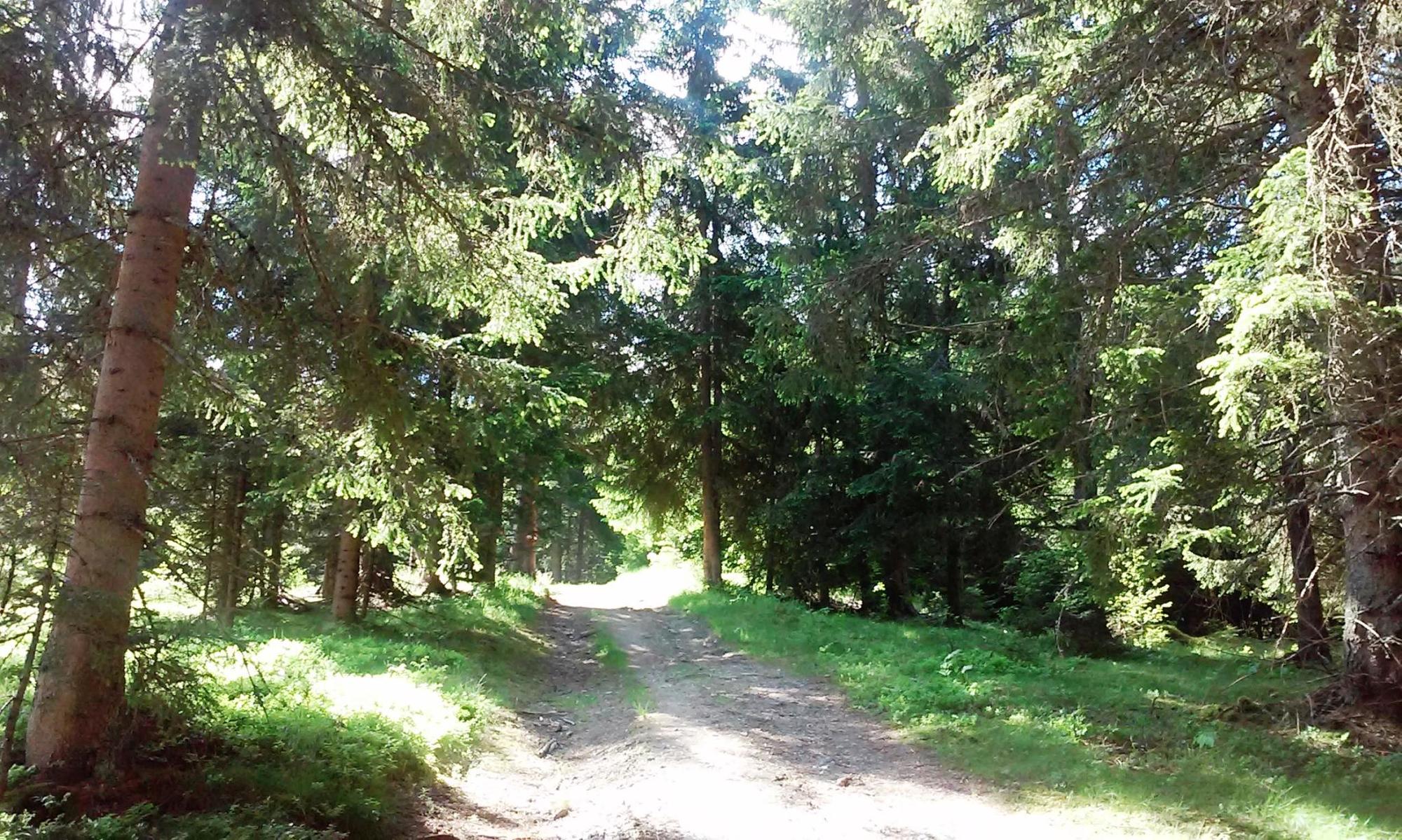
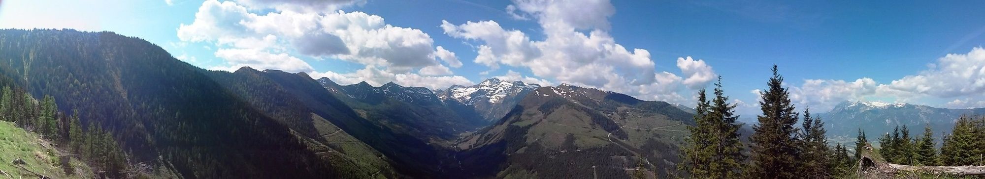
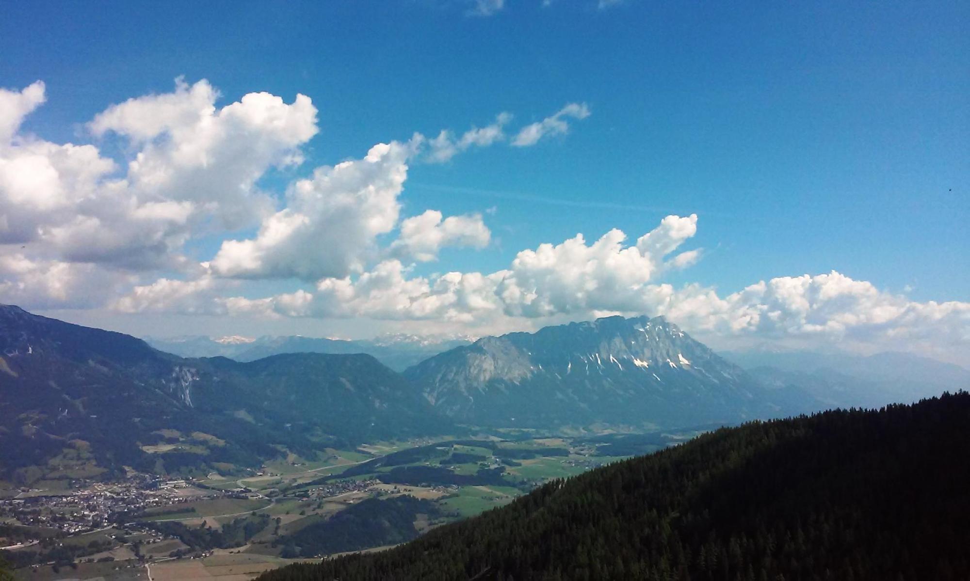
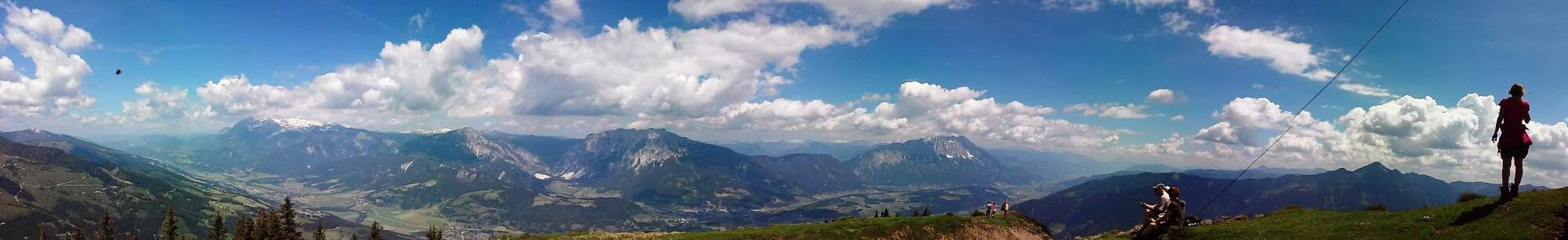
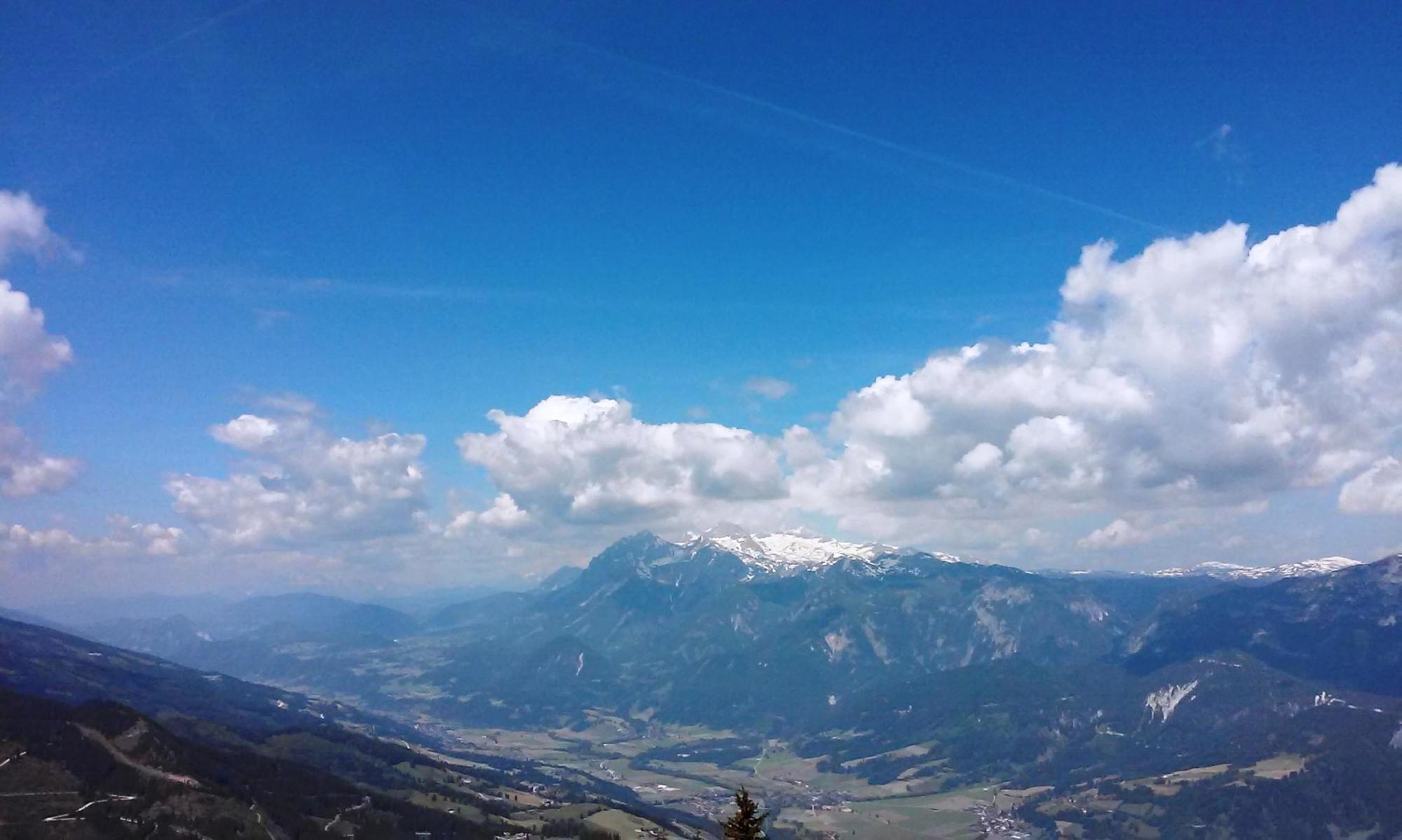
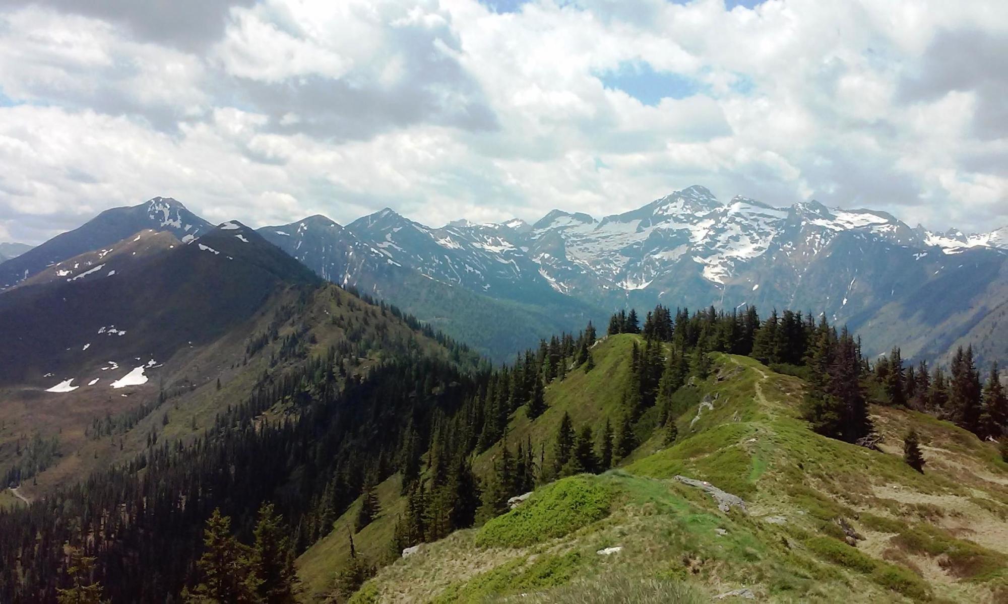
You can enjoy a beautiful view of the Ennstal, the Dachstein and the Ramsau mountains. The climb to the peak immediately begins with a steep step on a road; only a few flat areas interrupt the climb. You mostly go uphill in the forest, occasionally interrupted by a beautiful and in-depth view of the Sattental, until reaching the Loskögerl crossroad (1,548m).
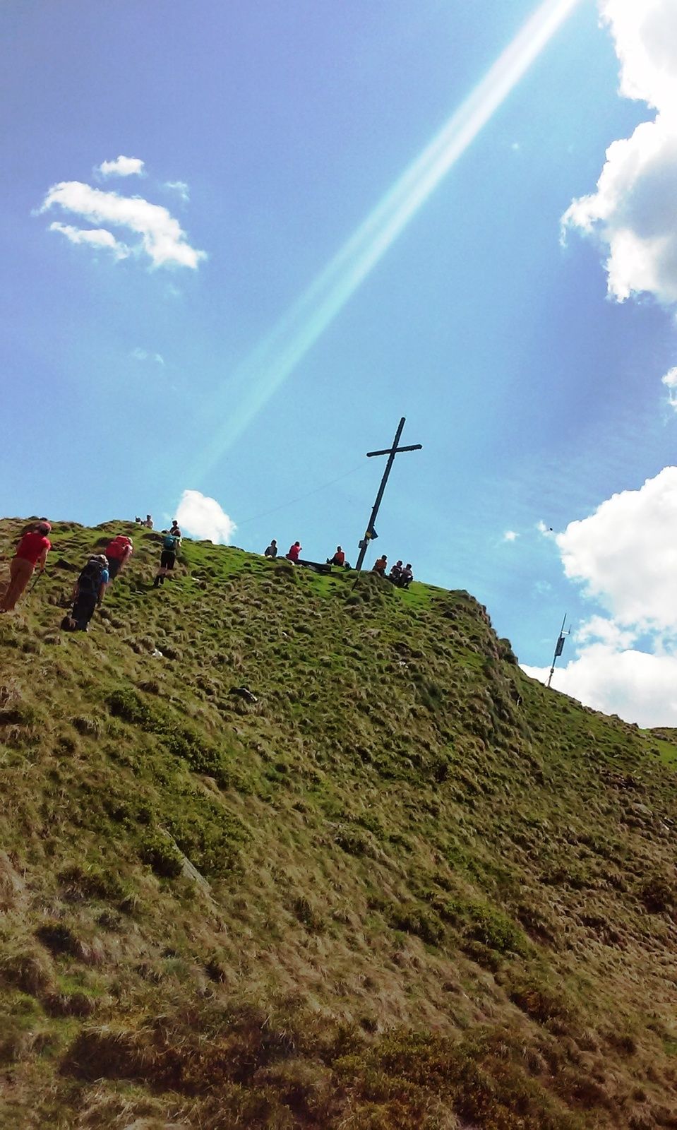
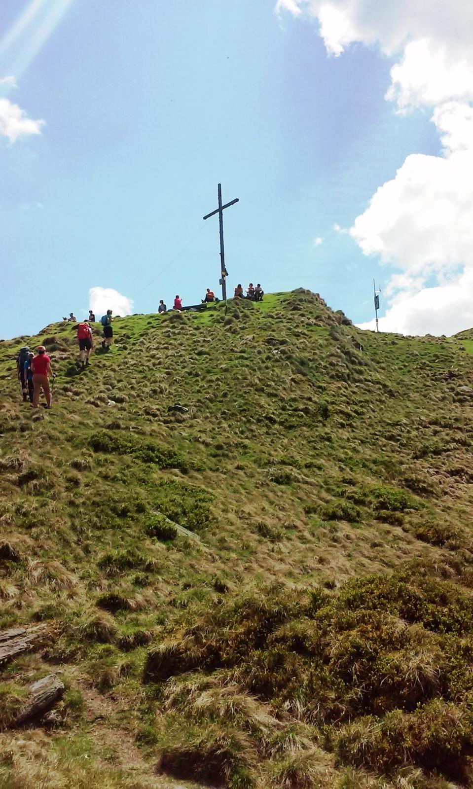
With a beautiful view of the Sattental and the Kleinsölk, the path continues slightly uphill until the last climb to the summit cross. Then comes another uphill climb until you can see the cross from afar.
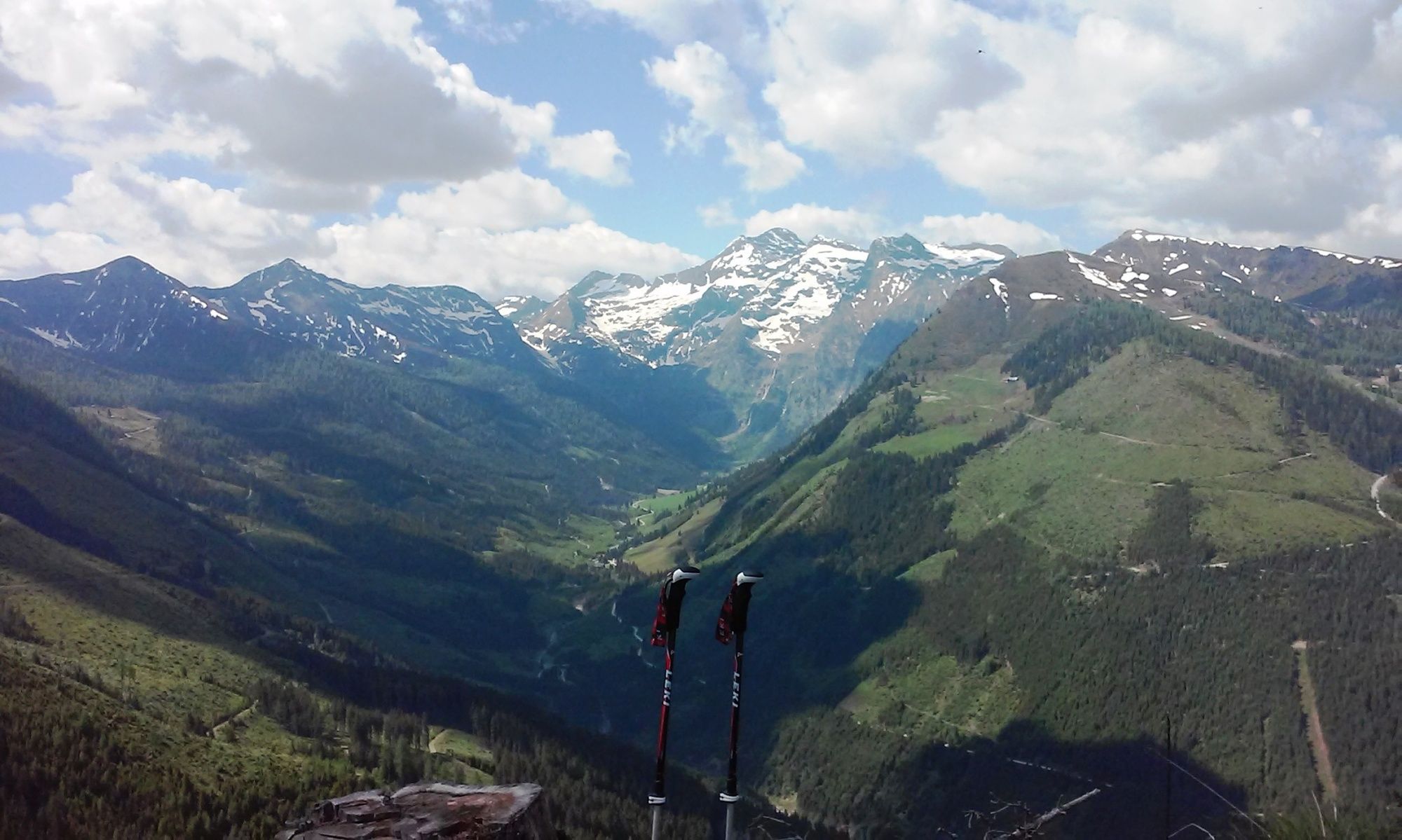
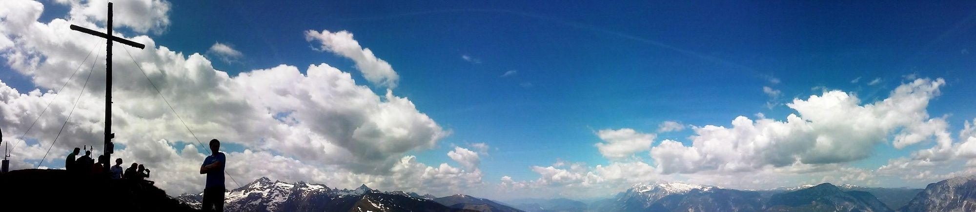
After a brief rest, the path continues at the summit cross on the right side of the ridge towards Spateck. There is a steady uphill and downhill traverse through Fleischkögel, Lafenberg, up to Dromeisspitz (2,047 m) and down once again to Schladminger Törl (1,945). There, turn right towards the Schladming Alps (Path no. 22).
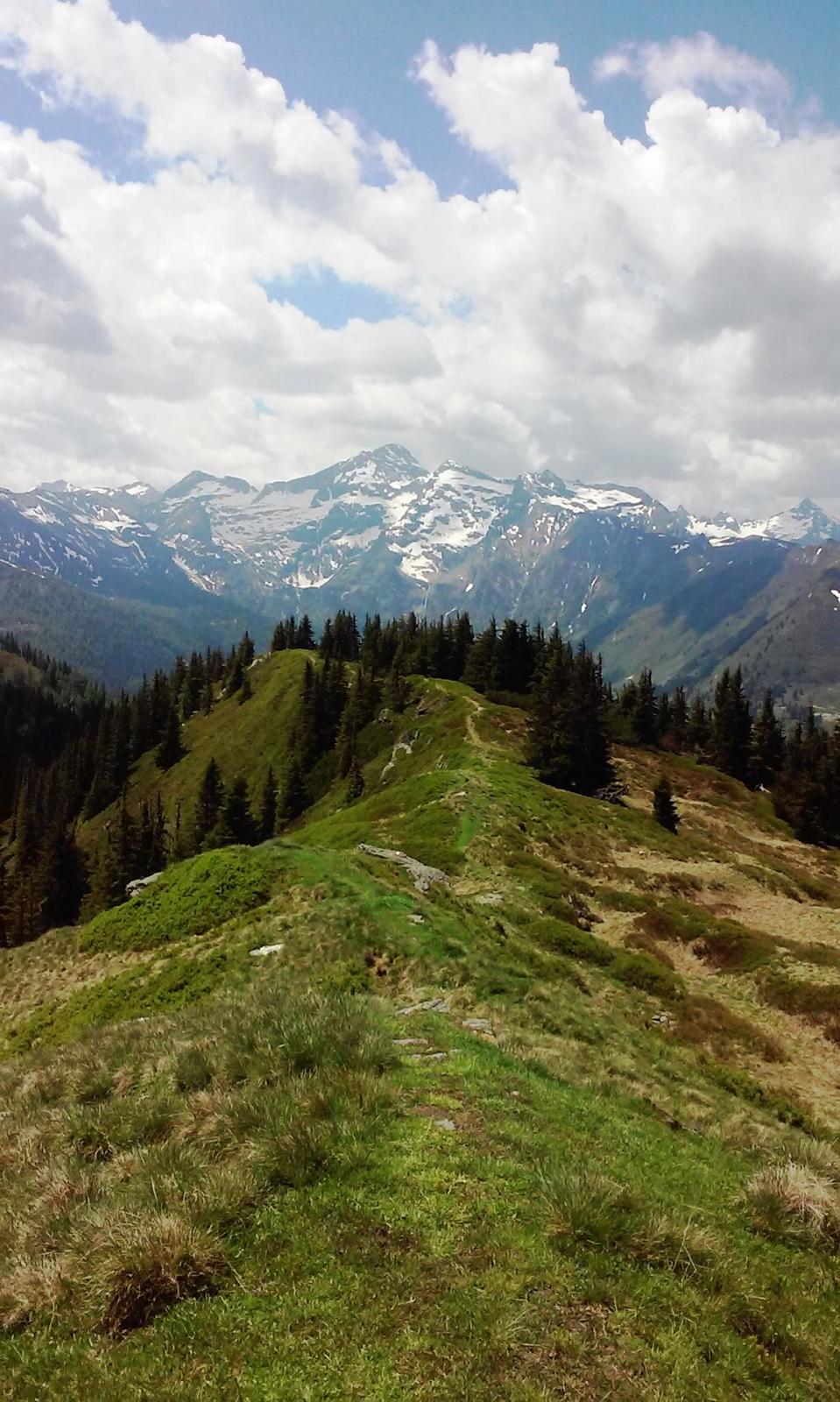
Upon arrival at the Schladming Alps, follow Forststraße out of the valley into the north until reaching the Stiegleralm’s first signpost. From there, walk towards the right and follow the climb and signposts to the serviced Stiegleralm cabin. After taking a break, continue through the Jägerstieg - first, the climb will lead through a meadow, through the forest and directly to the Kochofen hiking path. Make a left at this crossroads and head down to the Michaelerberghaus starting point.
- Directions
-
You can enjoy a beautiful view of the Ennstal, the Dachstein and the Ramsau mountains. The climb to the peak immediately begins with a steep step on a road; only a few flat areas interrupt the climb. You mostly go uphill in the forest, occasionally interrupted by a beautiful and in-depth view of the Sattental, until reaching the Loskögerl crossroad (1,548m).
With a beautiful view of the Sattental and the Kleinsölk, the path continues slightly uphill until the last climb to the summit cross. Then comes another uphill climb until you can see the cross from afar.
After a brief rest, the path continues at the summit cross on the right side of the ridge towards Spateck. There is a steady uphill and downhill traverse through Fleischkögel, Lafenberg, up to Dromeisspitz (2,047 m) and down once again to Schladminger Törl (1,945). There, turn right towards the Schladming Alps (Path no. 22).
Upon arrival at the Schladming Alps, follow Forststraße out of the valley into the north until reaching the Stiegleralm’s first signpost. From there, walk towards the right and follow the climb and signposts to the serviced Stiegleralm cabin. After taking a break, continue through the Jägerstieg - first, the climb will lead through a meadow, through the forest and directly to the Kochofen hiking path. Make a left at this crossroads and head down to the Michaelerberghaus starting point.
- Highest point
- 2,000 m
- Endpoint
-
Michaelerberghaus
- Height profile
-

- Equipment
-
A balaclava, gloves, a good jacket and pair of pants are standard equipment for routes in Alpine terrain. Good water-resistant shoes, sunglasses, solar protection and sufficient drinks are essential. This also includes torches, mapping material, a knife, and a small first aid kit.
- Safety instructions
-
Changes in the weather, sudden drops in temperature, wind, fog and snowfields are objective hazards and require proper measures when on the go. Hut hosts are experienced mountain experts; they can provide good tips regarding the weather or route. Insufficient equipment, overestimating one’s capabilities, carelessness, poor physical fitness, and misjudgement can lead to critical situations. In case of thunderstorms: Avoid peaks, ridges and safety ropes at all costs.
In case of emergency please dial the following emergency number: no. 140 for Mountain rescue and no. 112 - the European emergency call number
- Additional information
-
Tour at your own risk! No liability shall be assumed for any existing or occurring Alpine hazards (weather, etc..).
- Directions
-
B320, from Schladming, take the Pruggern, Galsterberg exit, continue towards Moosheim/ from Liezen, take the Gröbming WEST/Moosheim exit
Take the junction at Michaelerberg in Moosheim and follow the road until reaching Michaelerberghaus.
- Parking
-
Michaelerberghaus


-

-
AuthorThe tour Kochofen (1,920m), round trip via the Schladming Alm is used by outdooractive.com provided.


General info
-
Schladming - Dachstein
3015
-
Gröbminger Land
1201
-
Kleinsölktal
235


