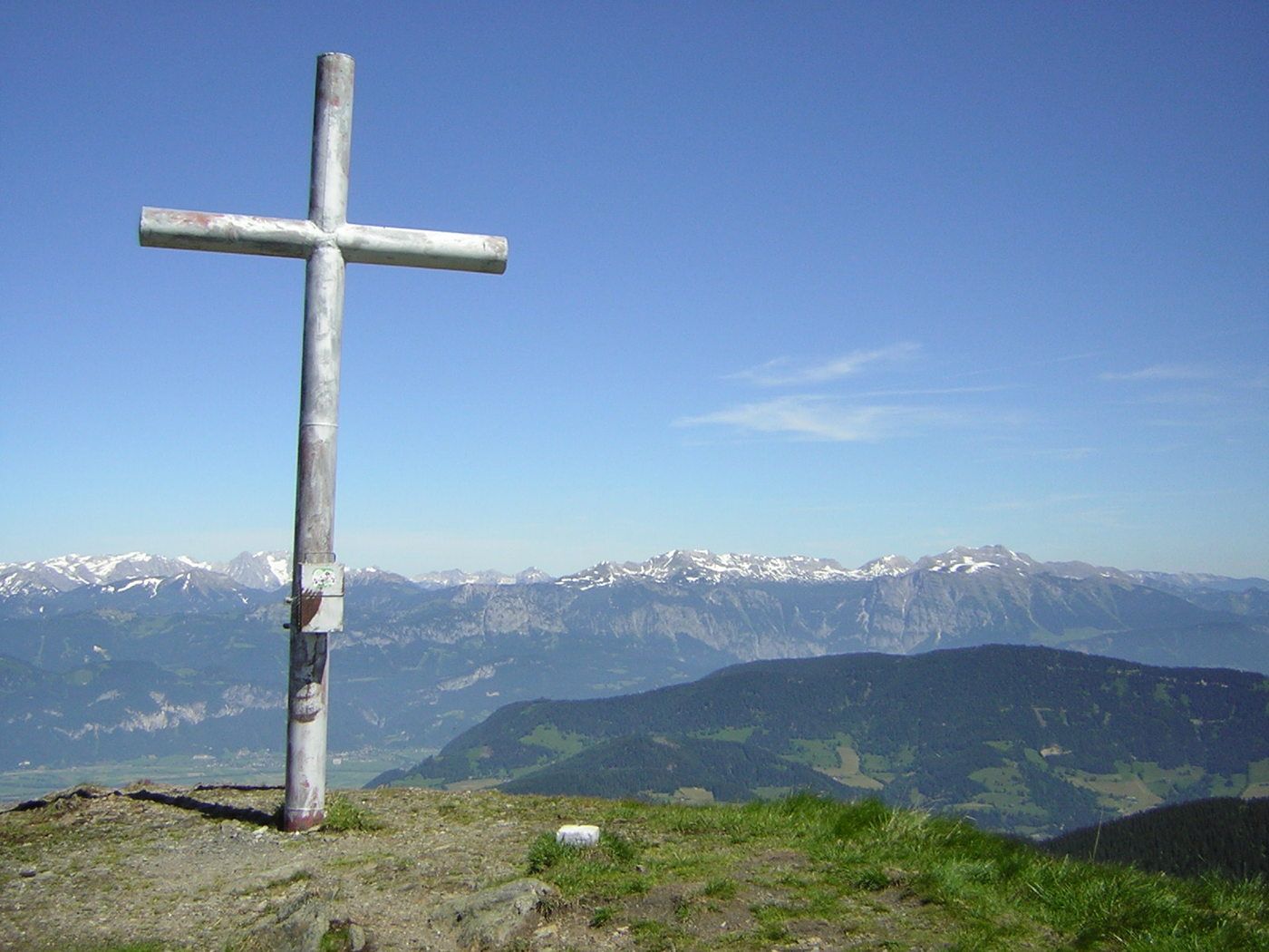
© TVB Bergregion Grimming

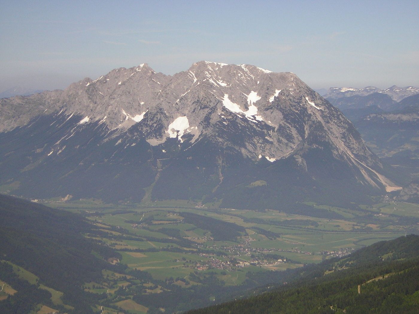
© TVB Bergregion Grimming
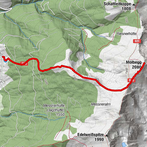
Tour data
3.31km
1,263
- 2,039m
788hm
788hm
03:30h
- Difficulty
-
easy
- Rating
-
- Starting point
-
Parkplatz beim Gehöft Hochbär
- Route
-
Mölbegg (2,080 m)3.3 km
- Best season
-
JanFebMarAprMayJunJulAugSepOctNovDec
- Highest point
- 2,039 m
- Ticket material
-
Freizeitkarte des TVB Bergregion Grimming
Wanderkarte Schladming-Dachstein
GPS Downloads


Trail conditions
Asphalt
Gravel
Meadow
Forest
Rock
Exposed
Other tours in the regions