


- Brief description
-
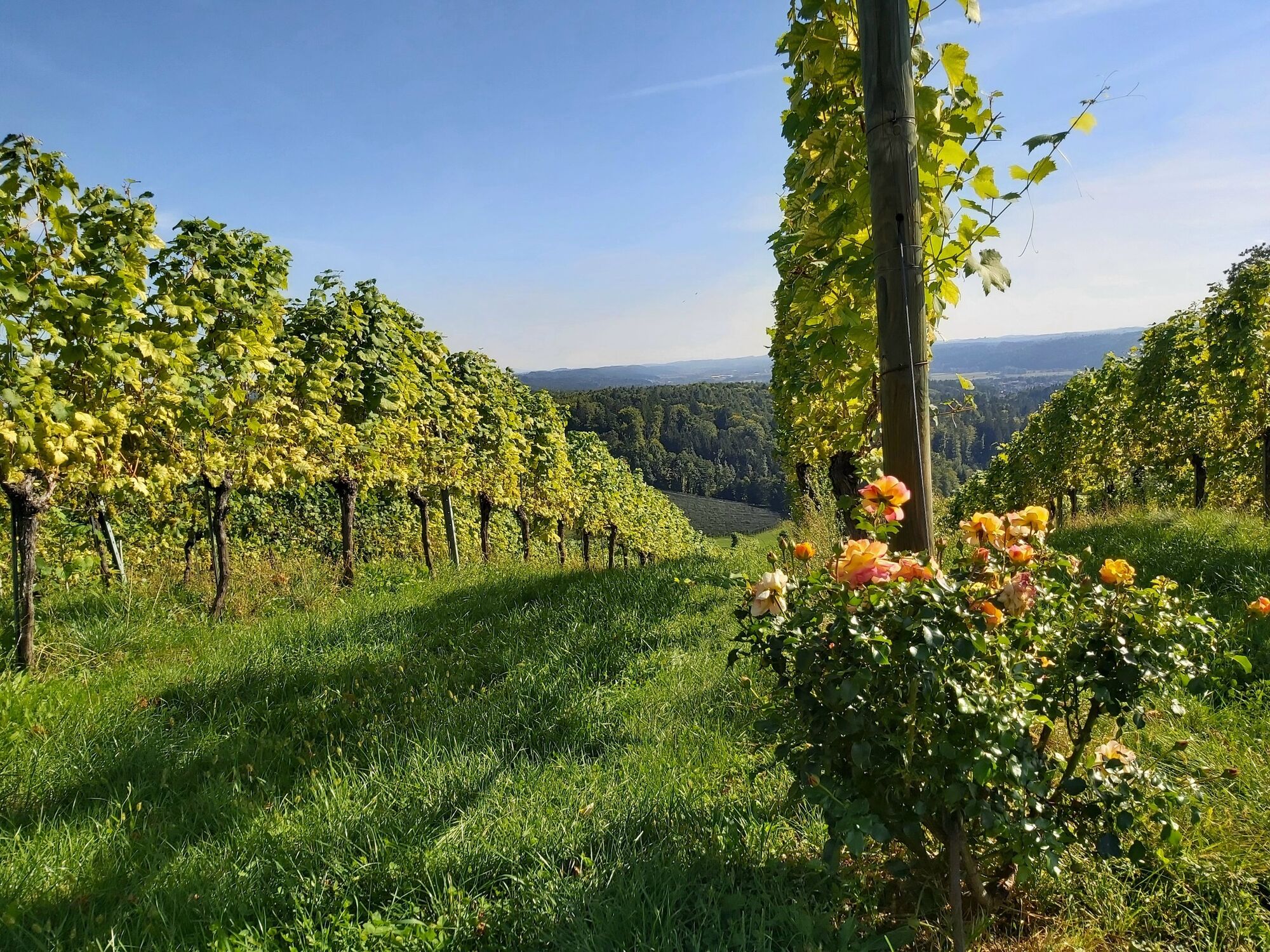
This tour leads around the sunny city of Gleisdorf and along the vineyards north of the city and is accompanied by stops on regional cuisine in Eastern Styria.
- Difficulty
-
easy
- Rating
-
- Starting point
-
Gleisdorf, Wave pool
- Route
-
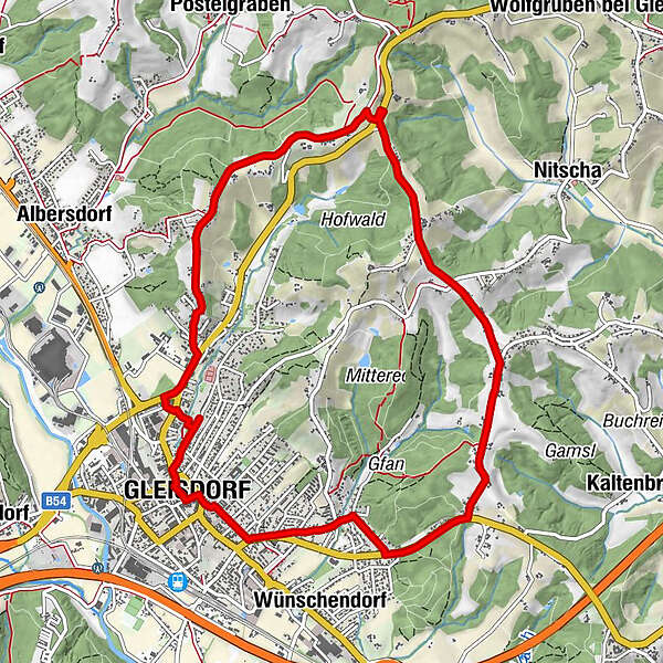
Gleisdorf0.1 kmBuschenschank Neuhold2.3 kmGamling4.1 kmBergwirt4.1 kmEichgraben4.9 kmKaltenbrunnerhof6.7 kmKunter6.9 kmWeinhof Seyfried7.2 kmKogl7.7 kmStadtpfarrkirche hl. Laurentius10.1 kmGleisdorf10.2 km
- Best season
-
JanFebMarAprMayJunJulAugSepOctNovDec
- Description
-
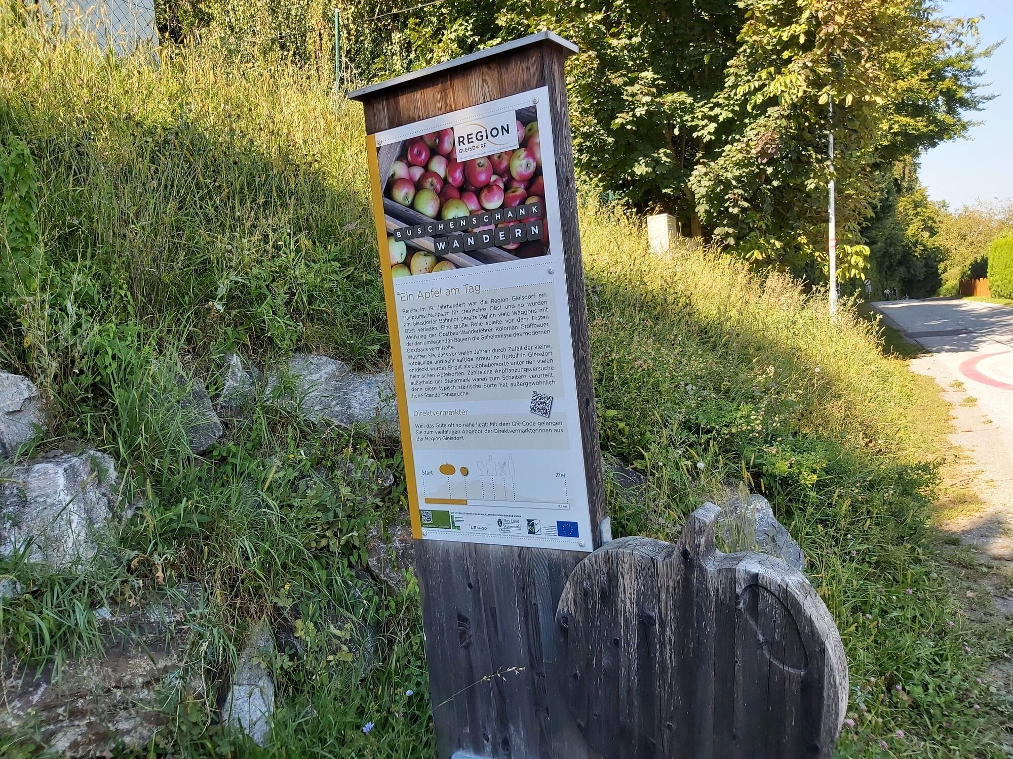
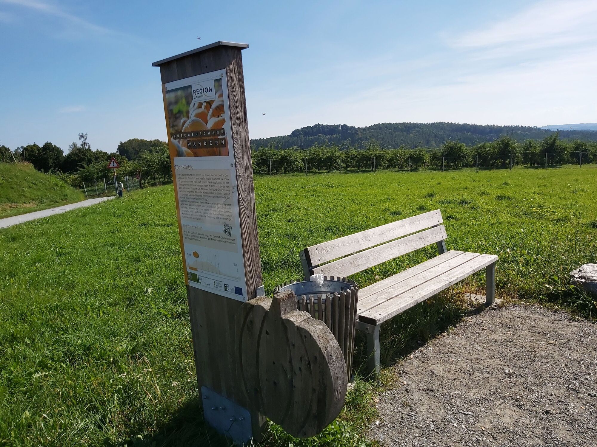
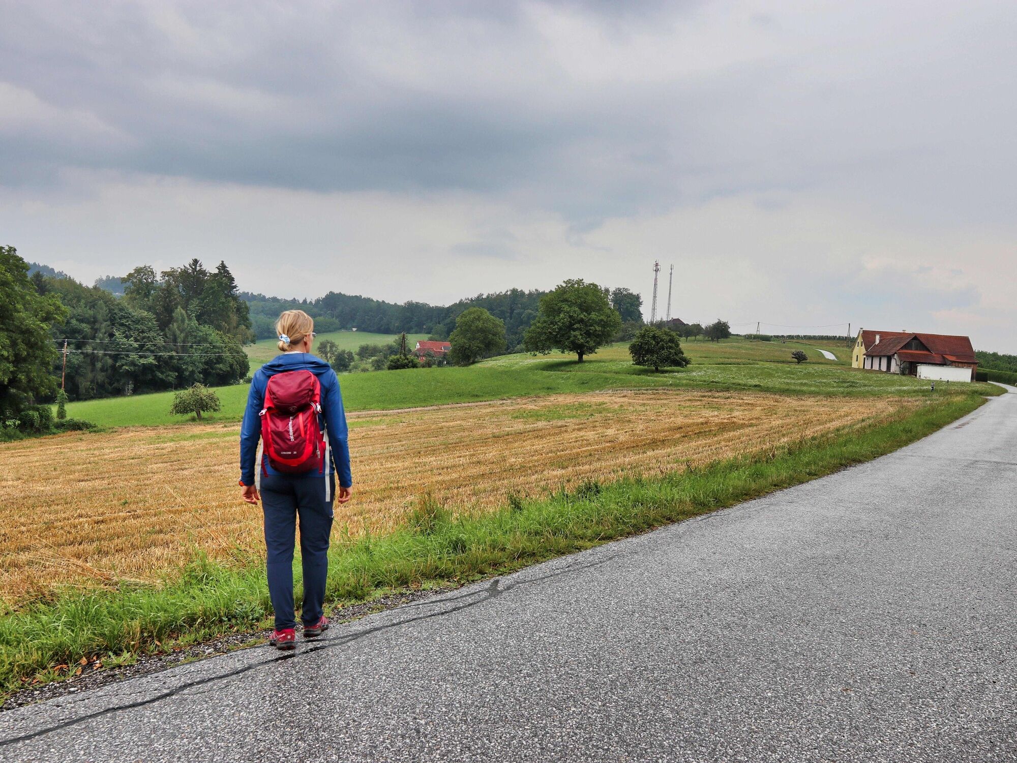
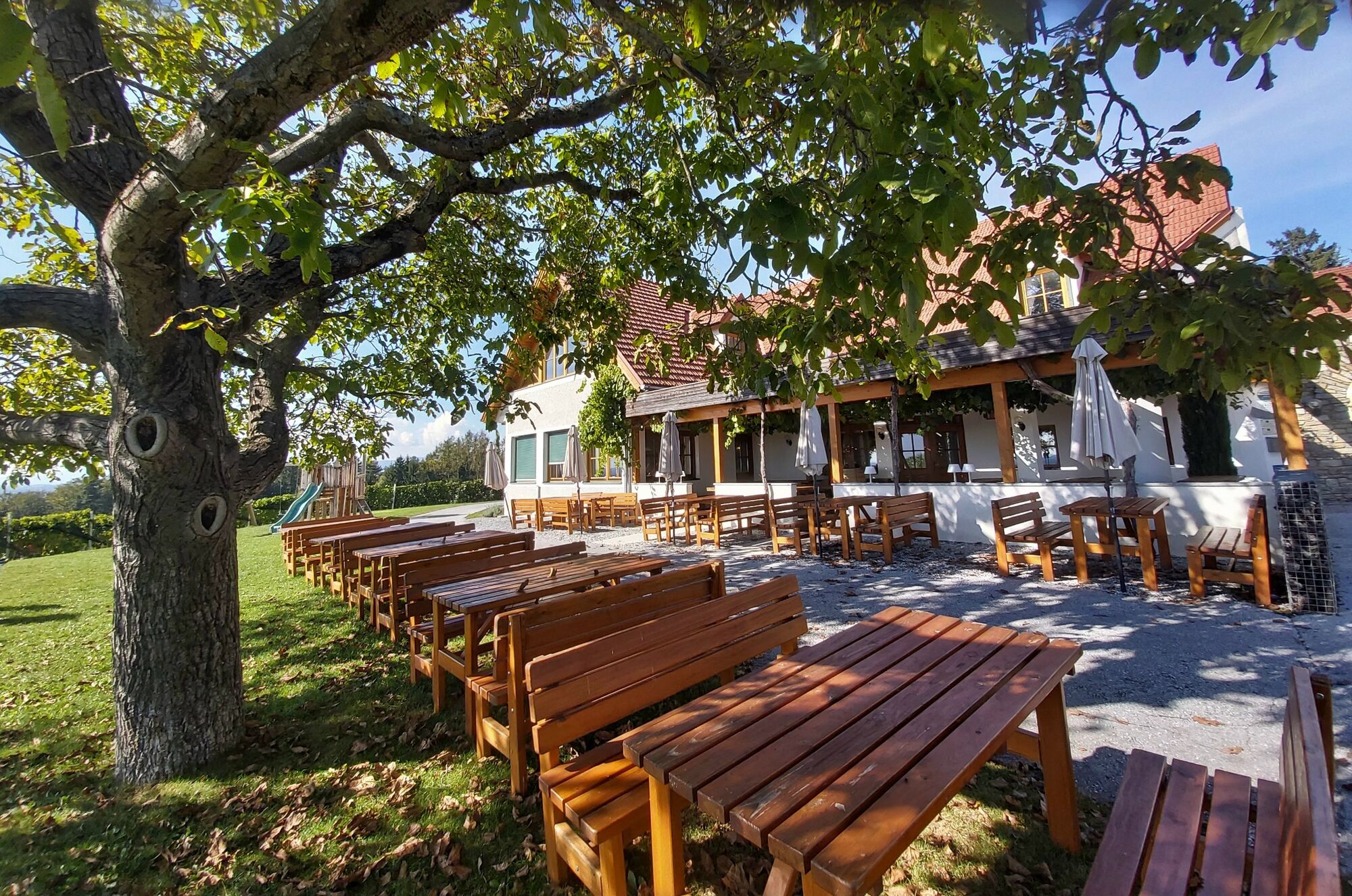
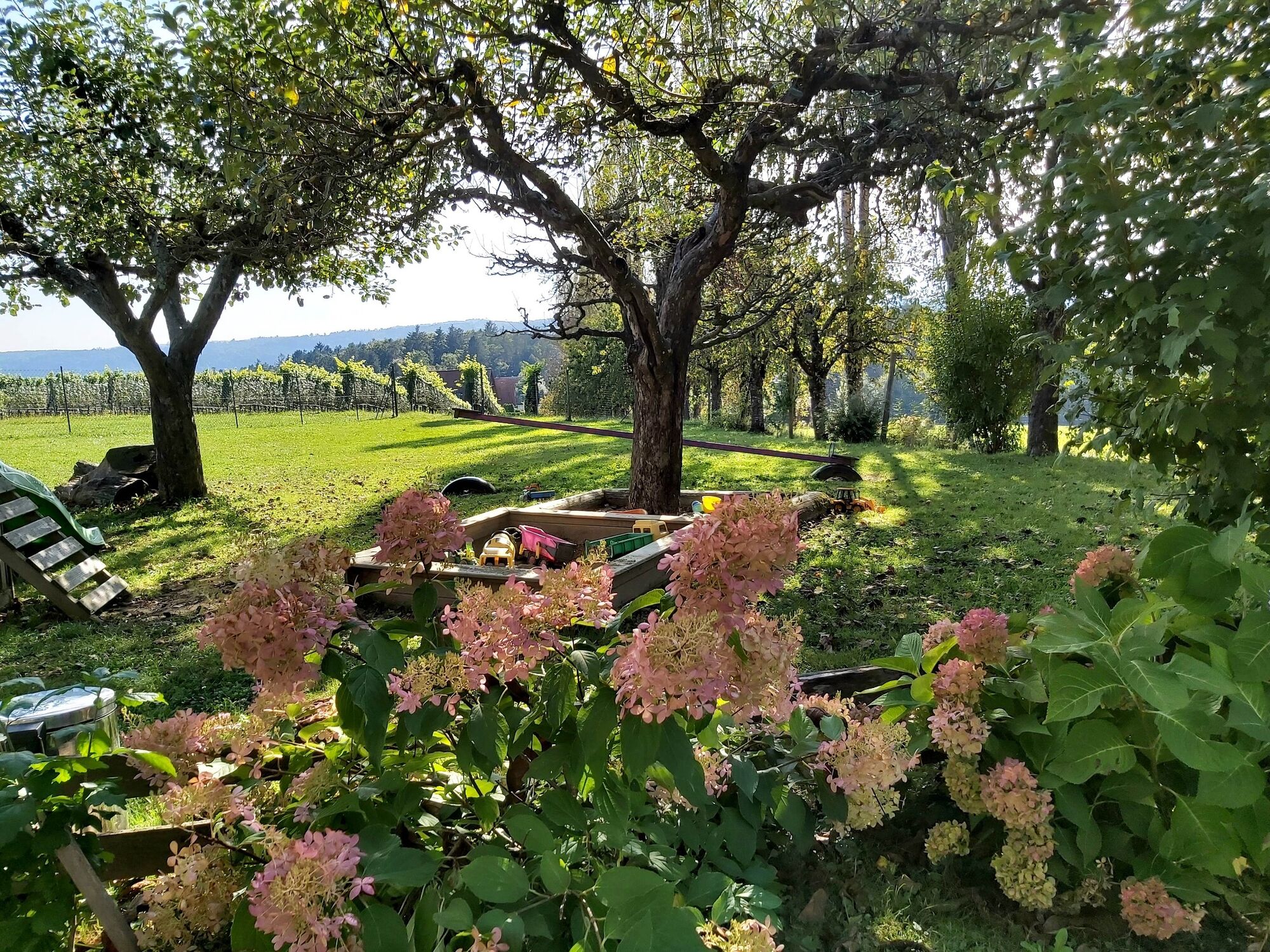
During “Buschenschankhiking” in the sunny hills around Gleisdorf you get to know the country, people and cuisine in the north-east of the city. Along the theme trail you pass 6 stations, usually with a rest bench, and learn interesting and worth knowing facts about the regional products. The main players, however, are the wine taverns along the tour, which usually invite you to stop by from late autumn onwards. There are not only delicious snack plates and tasty drinks waiting for the guests, but also a garden with wonderful views over the vineyards and out into the country. And for families there is usually a children's playground.
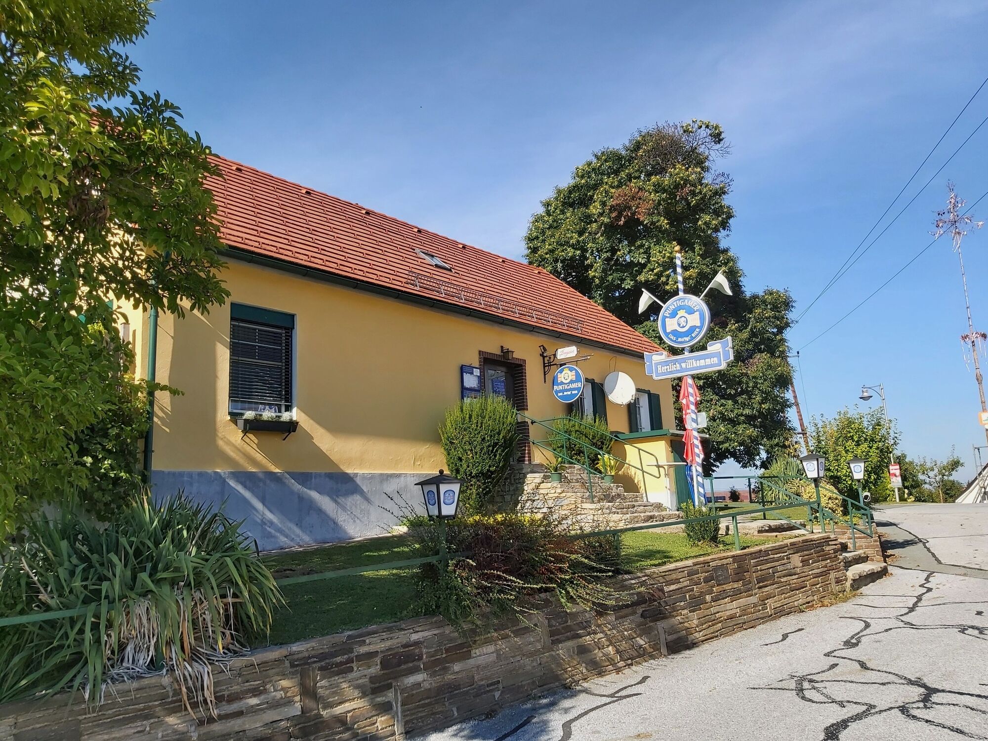
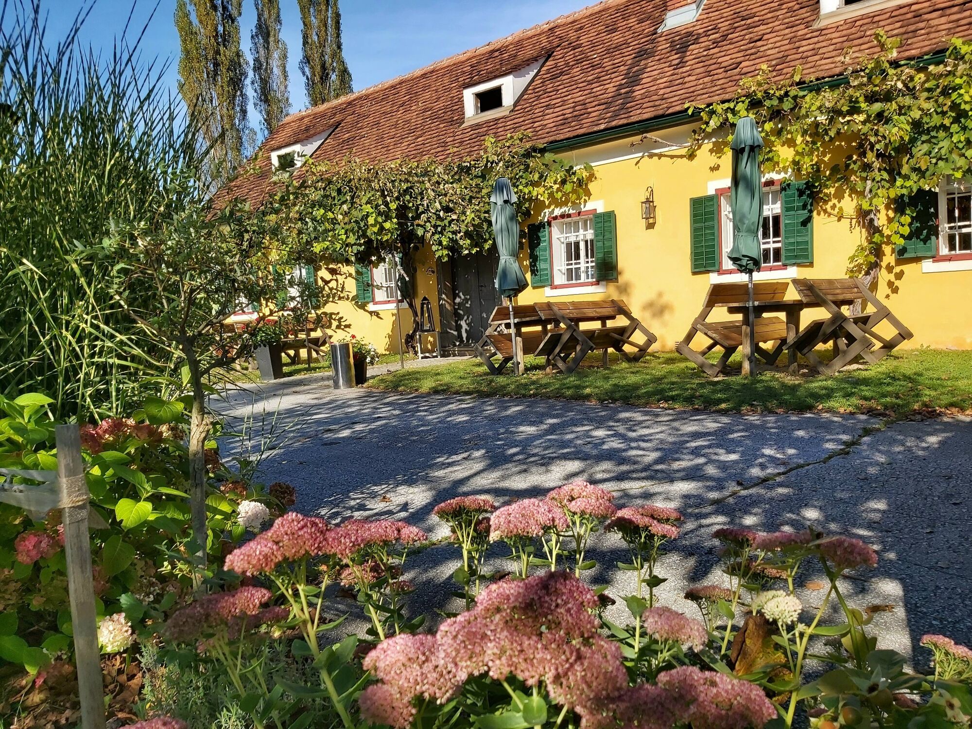
Buschenschank Neuhold
Buschenschank Schantl
Buschenschank Maurer
Buschenschank Seyfried
“The sun in the heart” is the mission statement of the Solar City Gleisdorf, which relies entirely on the use of solar energy. The city's landmark is a 17 meter high "solar tree" with particularly "energy-rich leaves". In this context, the “Street of Solar Energy” is also worth mentioning, a themed path through the city center where, in addition to shops and restaurants, there are more than 100 solar power plants.
The path is paved throughout, making it suitable for hikes with strollers! - Directions
-
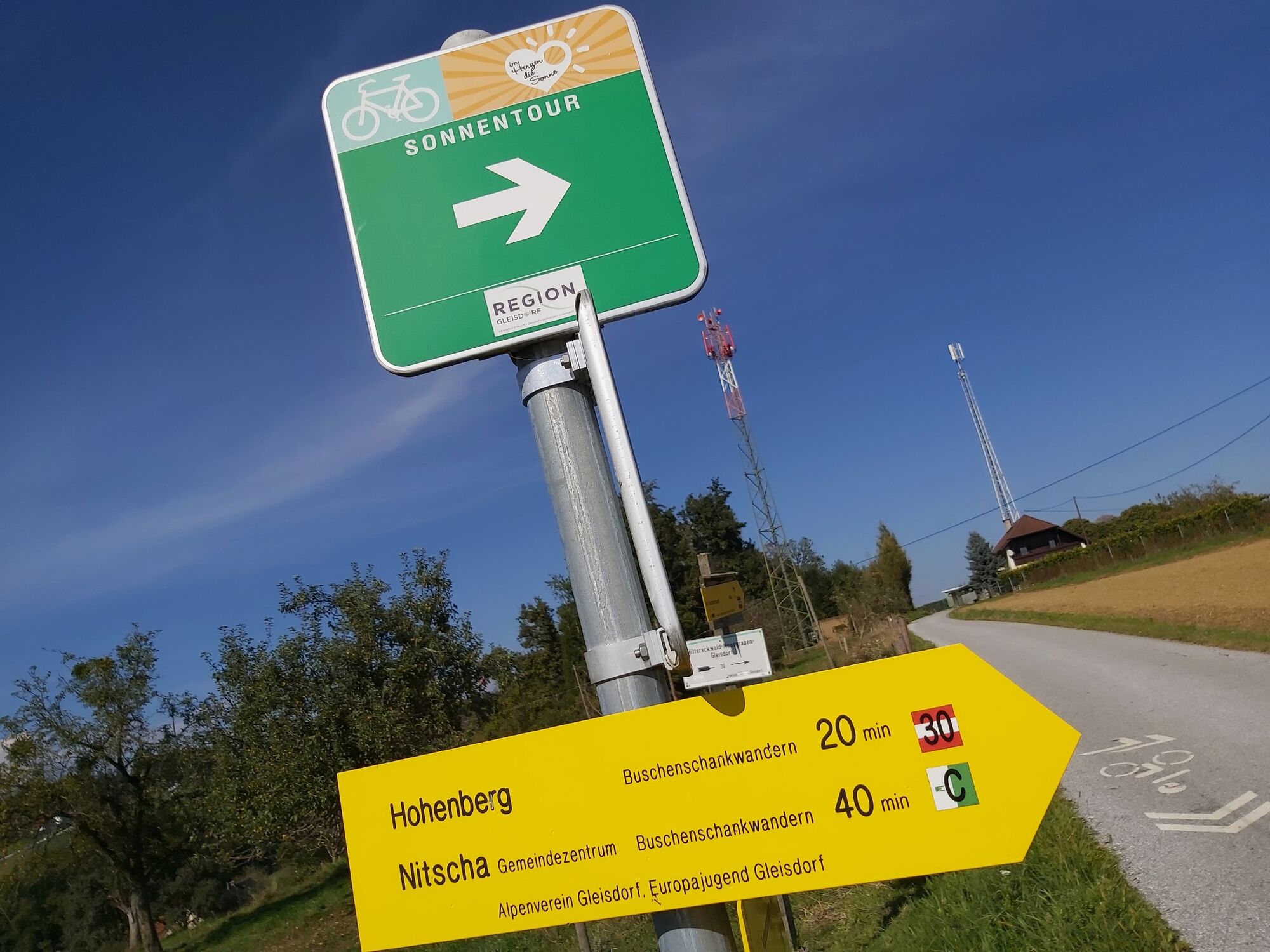
The hike has Buschenschank hiking/trail (Buschenschankwandern) no. 30 (yellow plates) marked.
Please find out about the opening times of the Buschenschenken before the hike.
If you don't want to go any further after a stop, you can order a SAM shared taxi for the return journey.
Start: Gleisdorf wave pool
• We start at the wave pool overview board, the path leads around the wave pool.
• At a pedestrian bridge we turn left and now pass houses and shops.
• After the underpass we turn right and now walk a bit parallel to the main road.
• After about 400 meters (at a rest area) we turn left and continue uphill on a side street.
• At the beginning of Albersdorfberg-Gamling or at the entrance to Buschenschank Neuhold we reach the first station of the theme trail, the “Apfel” (apple).
• We continue straight ahead on the side street (path no. 30/35) to the “Kurbis” (pumpkin).
• Now go slightly downhill to the right between the vineyards to the main road.
• We cross the Wechselbundesstraße and at the top left we see the Buschenschank Schantl.
• But we keep to the right and turn left at the intersection near the Bergwirt into Hohenbergweg.
• Past the Bergwirt the path takes us through a sparsely populated area; at several junctions we continue straight ahead.
• We reach the third station “Wein mit Aussicht” (wine with a view) on the right-hand side.
• Soon we pass the junction (large sign, approx. 400 meters) to the right up to the Buschenschank Maurer.
• Continuing straight ahead we reach the Nitscha volunteer fire brigade's armory, where the 4th station “A g’sunde Jausn” (a healthy snack) is also located.
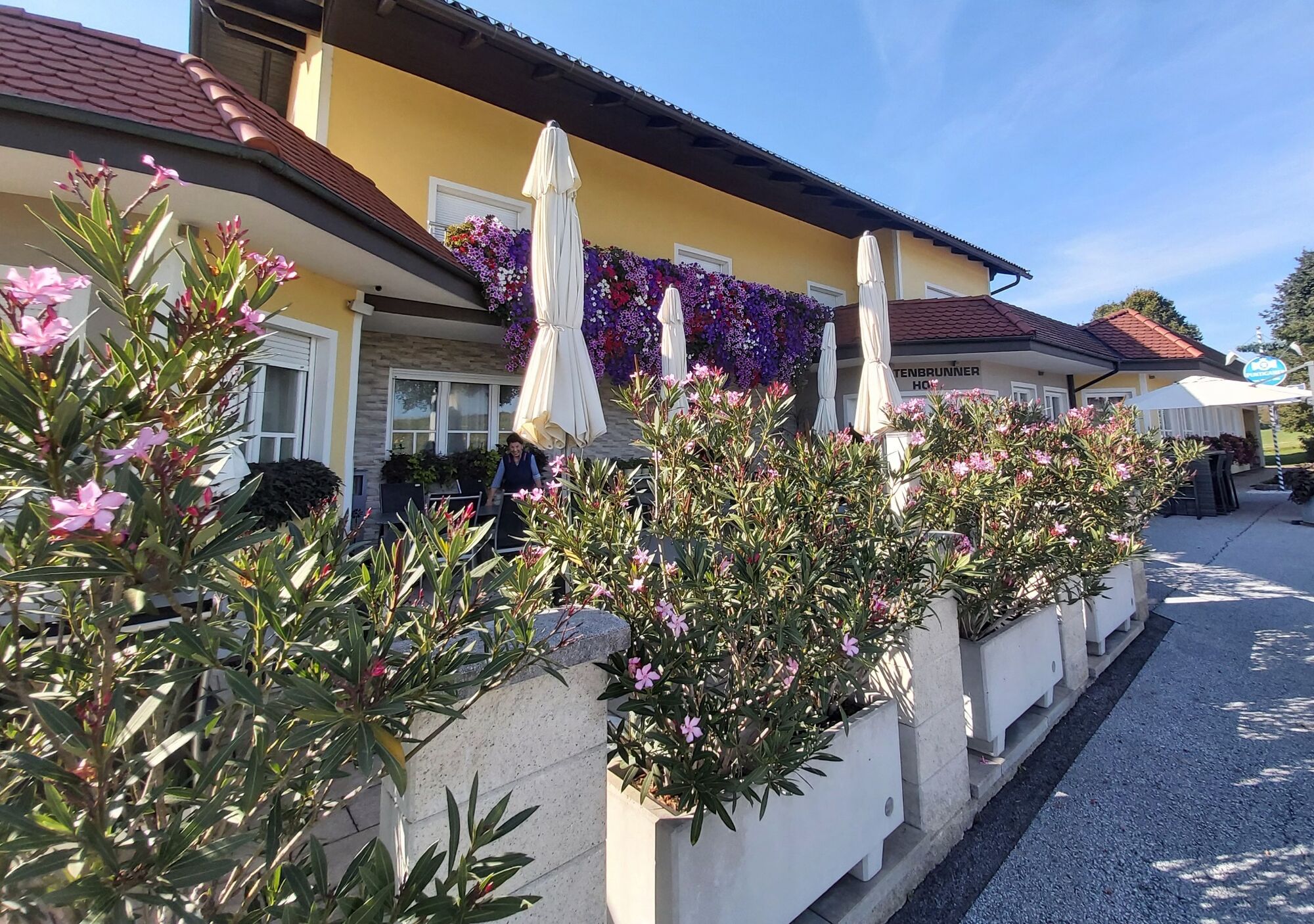
• At the next intersection we continue straight ahead to Kaltenbrunnerhof with the 5th station “In der Ruhe liegt die Kraft” (there is strength in calm).
• Approximately 500 meters further you reach the last stop on the “Weinregion Gleisdorf” (Gleisdorf Wine Region) theme trail at the Buschenschank Seyfried.
• We now continue slightly downhill, at the intersection with federal highway 65 we turn right onto the cycle path.
• Parallel to the main road we drive slightly downhill for approx. 700 meters and turn right into Moosgrabenweg just before the “Wünschendorf/Kogl” sign.
• At the next intersection we keep left and continue to the main road.
• Here we leave the theme trail and come directly to the center of Gleisdorf via Rathausgasse.
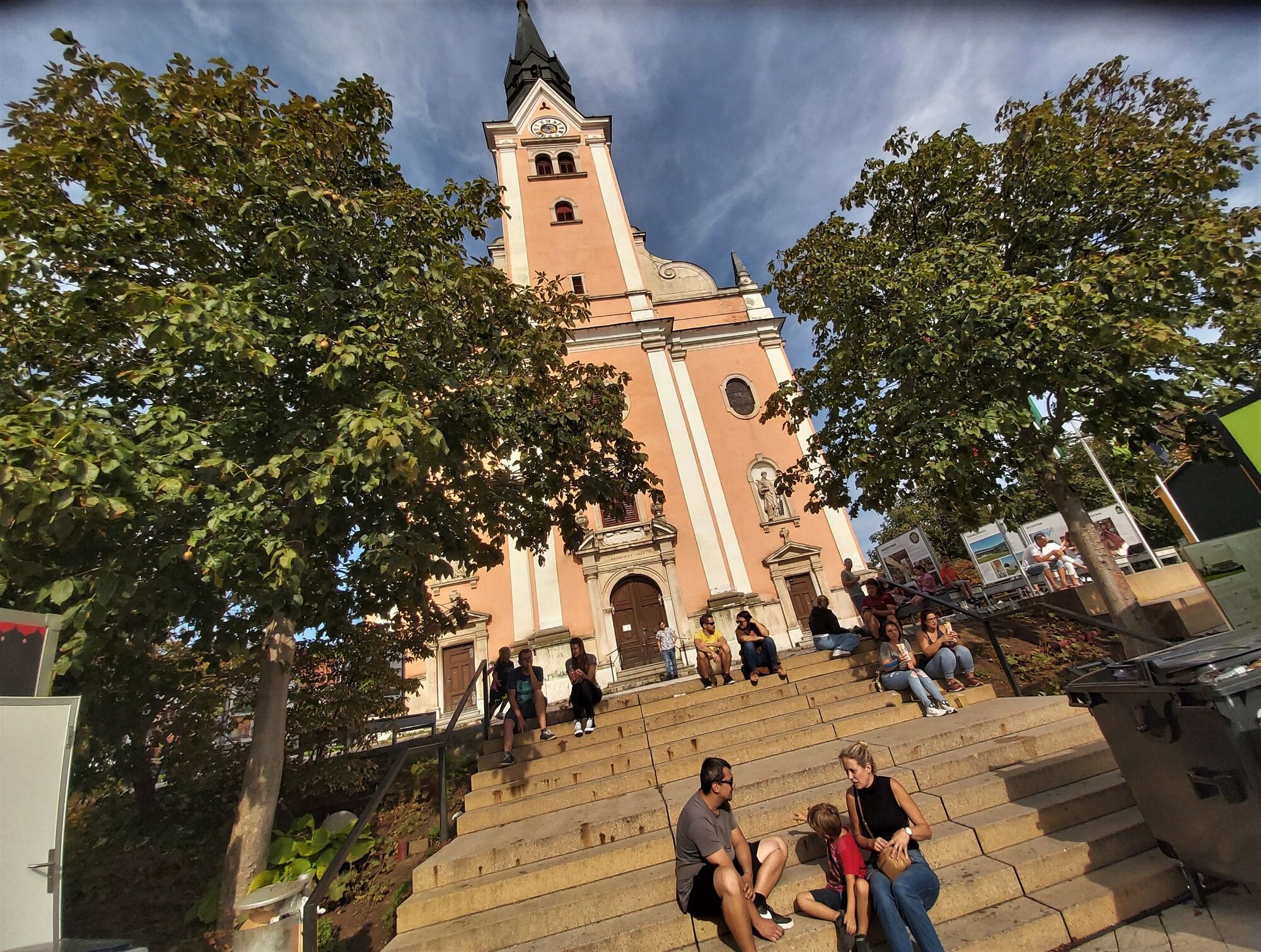
• At the town parish church we keep right and follow the markings back to the wave pool.
Shortcut 1: Wave pool via Feldgasse to Hohenberg
Shortcut 2: Moosgraben via Mittereckwald to Hohenberg
Shortcut 3: Moosgraben to Kaltenbrunnerhof - Highest point
- 472 m
- Endpoint
-
Gleisdorf, Wave pool
- Height profile
-

- Equipment
-
We recommend
• a small backpack with a water bottle
• Sturdy shoes, hiking poles as needed
• Appropriate clothing including rain protection
and the taking of
• Sunscreen, sunglasses and cap
• Mobile phone
• a small first aid kit
• Directions & hiking map. - Safety instructions
-
Important phone numbers:
• Euro emergency number: 112
• Mountain rescue emergency call: 140 (if possible, please provide GPS data)
• Rescue: 144
• Fire department: 122
• Police: 133
Tips for more hiking fun
A few tips for correct and fair behavior in the forest: (Source:
• Avoid visits to the forest approx. 1.5 hours before sunrise and sunset, as wild animals are particularly active at this time.
• Plastic bottles, handkerchiefs, cigarette butts etc. have no place in the forest, please do not leave any rubbish in the forest!
• Making fires and camping are strictly forbidden in the forest!
• In principle, 2 kilos of mushrooms and berries per person may be collected for personal consumption, unless the forest owner expressly prohibits this (tables!). - Tips
-
A stroll through the shopping town of Gleisdorf is definitely recommended, especially at the fair, the town festivals or the Christmas market.
- Additional information
-
Further information about the region, where you can stop off, where there are rooms and where you can find descriptions of the excursion destinations and businesses Eastern Styria Tourism
Association Gleisdorf office
Rathausplatz 1
8200 Gleisdorf
Tel: +43 3112 2601-400
Email: gleisdorf@oststeiermark.com
Website: www.oststeiermark.com
More about Eastern Styria, the garden of Austria
About the current weather
To the webcams
On mobility in Eastern Styria and the SAM shared taxi - Directions
- Public transportation
- Parking

-

-
AuthorThe tour Buschenschank hiking, Gleisdorf region is used by outdooractive.com provided.


General info
-
Oststeiermark
2126
-
Region Gleisdorf
1005
-
Solarstadt Gleisdorf
120


