


- Brief description
-
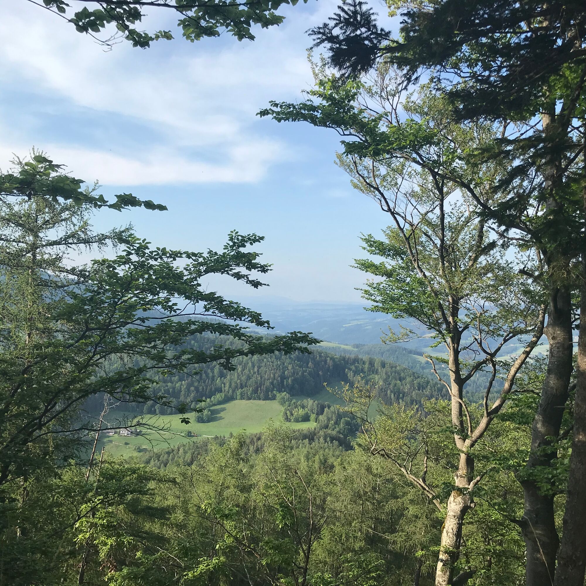
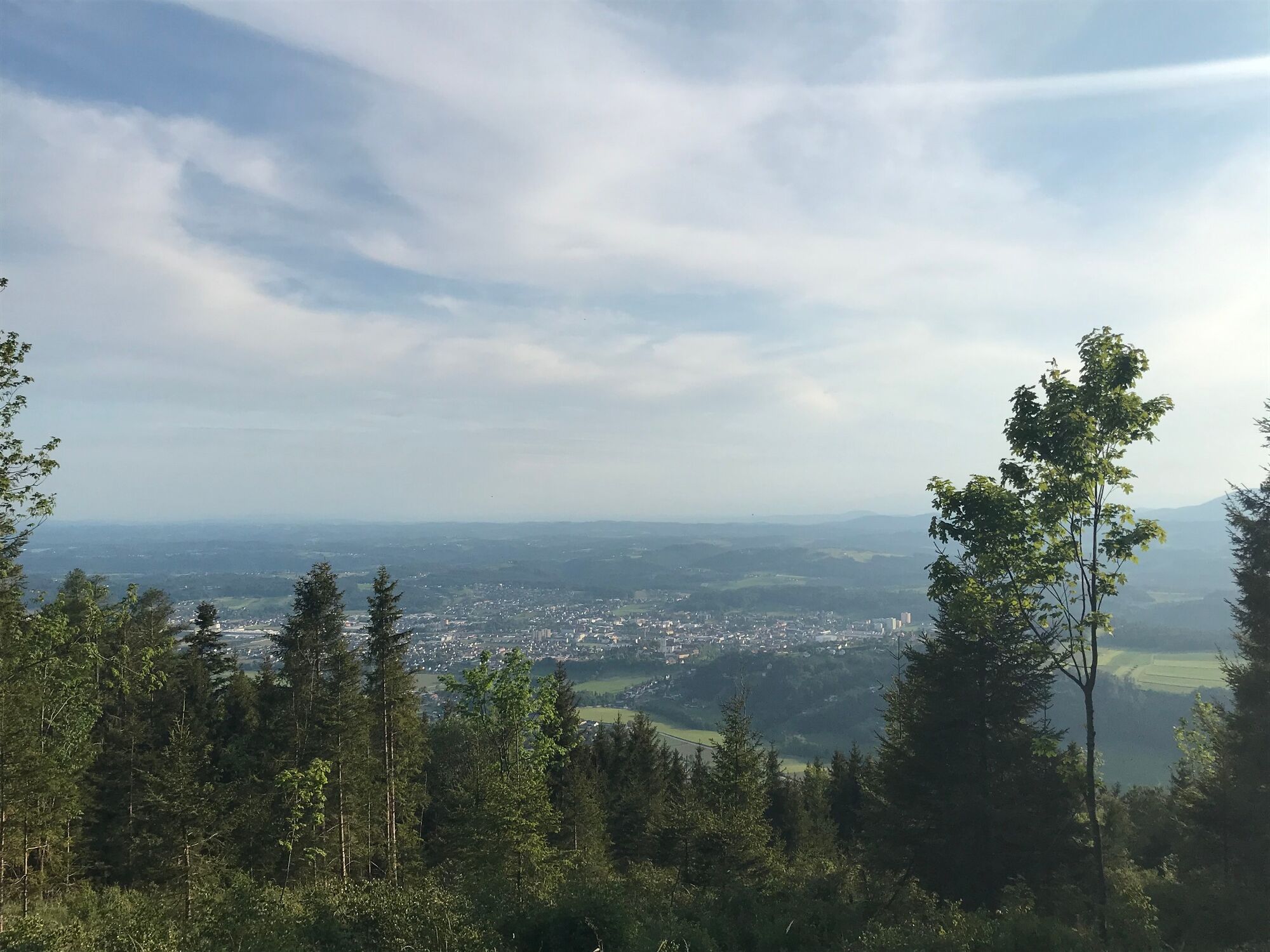
The hike leads from the town of Weiz along beautiful forest paths to the Raaser summit cross and back again.
- Difficulty
-
medium
- Rating
-
- Starting point
-
Weiz city
- Route
-
Taborkirche hl. Thomas von CanterburyWeiz0.1 kmRadmannsdorf0.9 kmBasilika am Weizberg1.6 kmSchlosstaverne Pichler2.2 kmOberfladnitz-Thannhausen2.4 kmDorfkreuz Oberfladnitz2.5 kmJohanneskapelle2.5 kmRaas4.9 kmRaas (1,009 m)9.3 kmRaas13.7 kmJohanneskapelle15.8 kmOberfladnitz-Thannhausen16.2 kmDorfkreuz Oberfladnitz16.2 kmSchlosstaverne Pichler16.4 kmBasilika am Weizberg17.0 kmRadmannsdorf17.8 kmWeiz18.7 kmTaborkirche hl. Thomas von Canterbury18.7 km
- Best season
-
JanFebMarAprMayJunJulAugSepOctNovDec
- Description
-
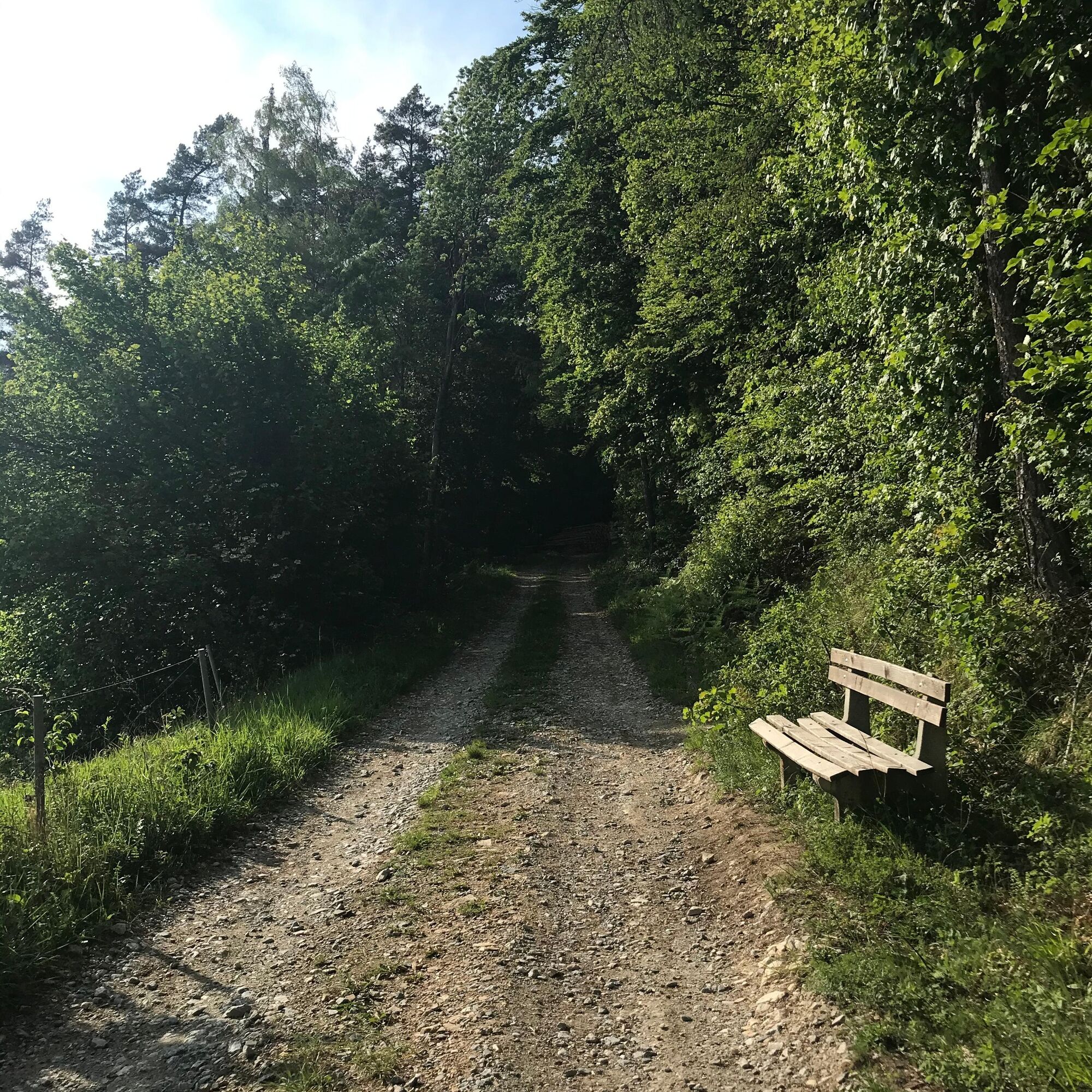
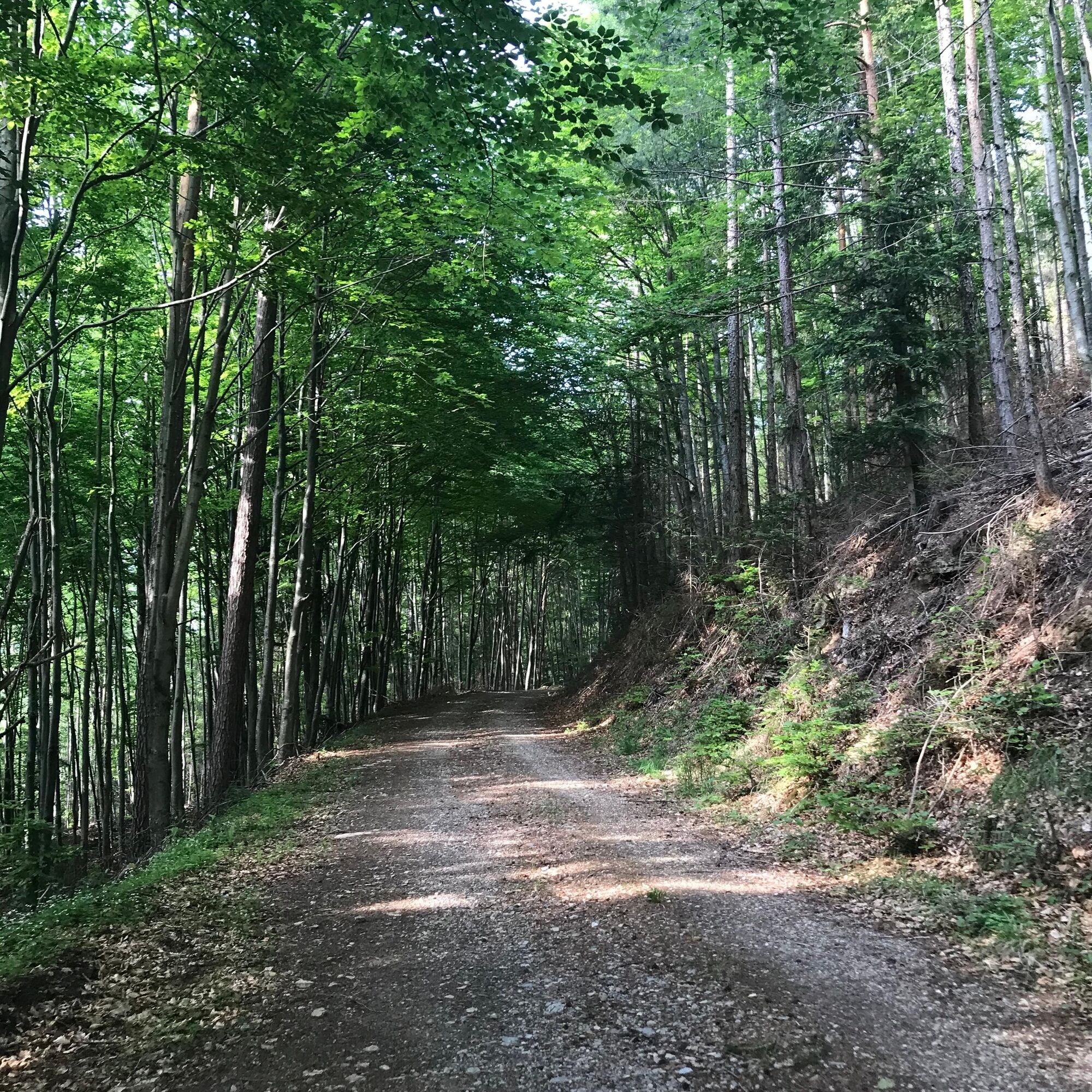
On the Raasberg circular hiking trail, every nature lover gets his money's worth due to the fantastic views from all sides. With the possibility of starting in the city of Weiz, it is the perfect hike without a car. The small fine mountain invites at any time of the year and due to its large bench next to the summit you can also have an excellent picnic here. The hike leads along idyllic trails in the middle of the forest. There are two slight inclines, but they are easily manageable. On this trail you can switch off and really enjoy nature.
- Directions
-
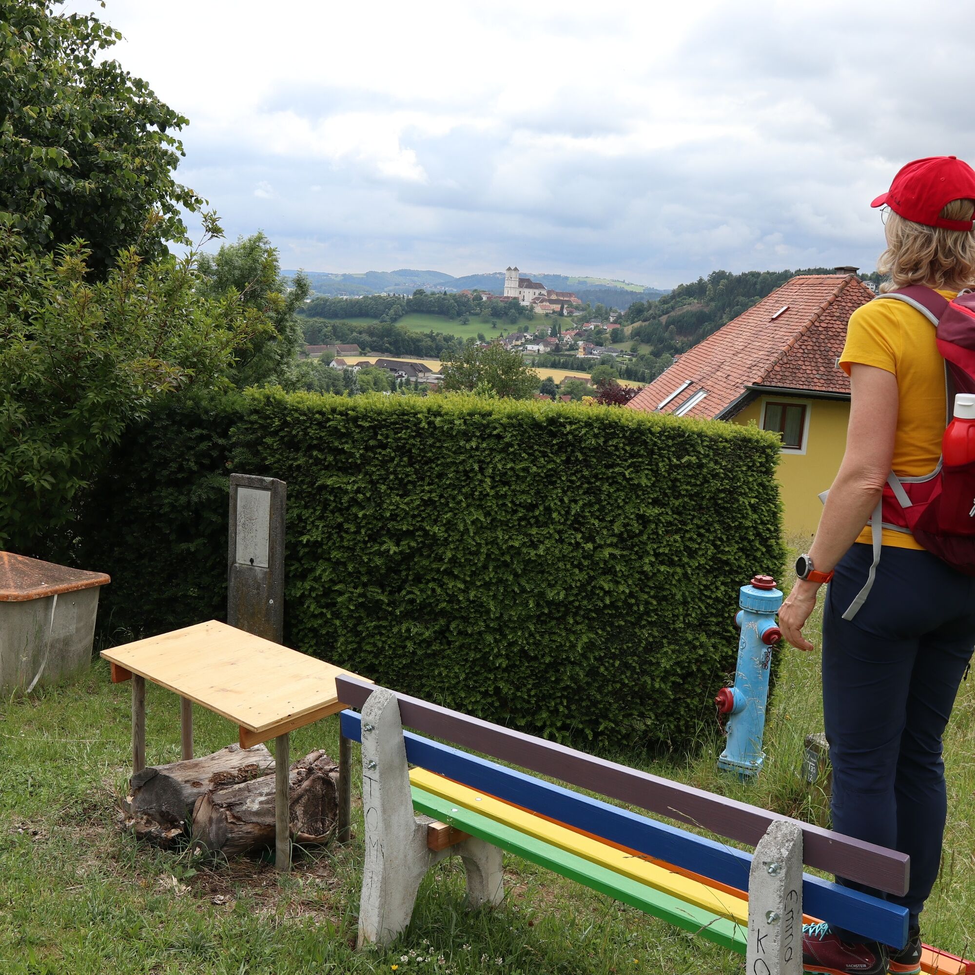
We start our hike at the main square in Weiz. From there we follow the Pope Francis Pilgrimage Trail to the Basilica on the Weizberg.
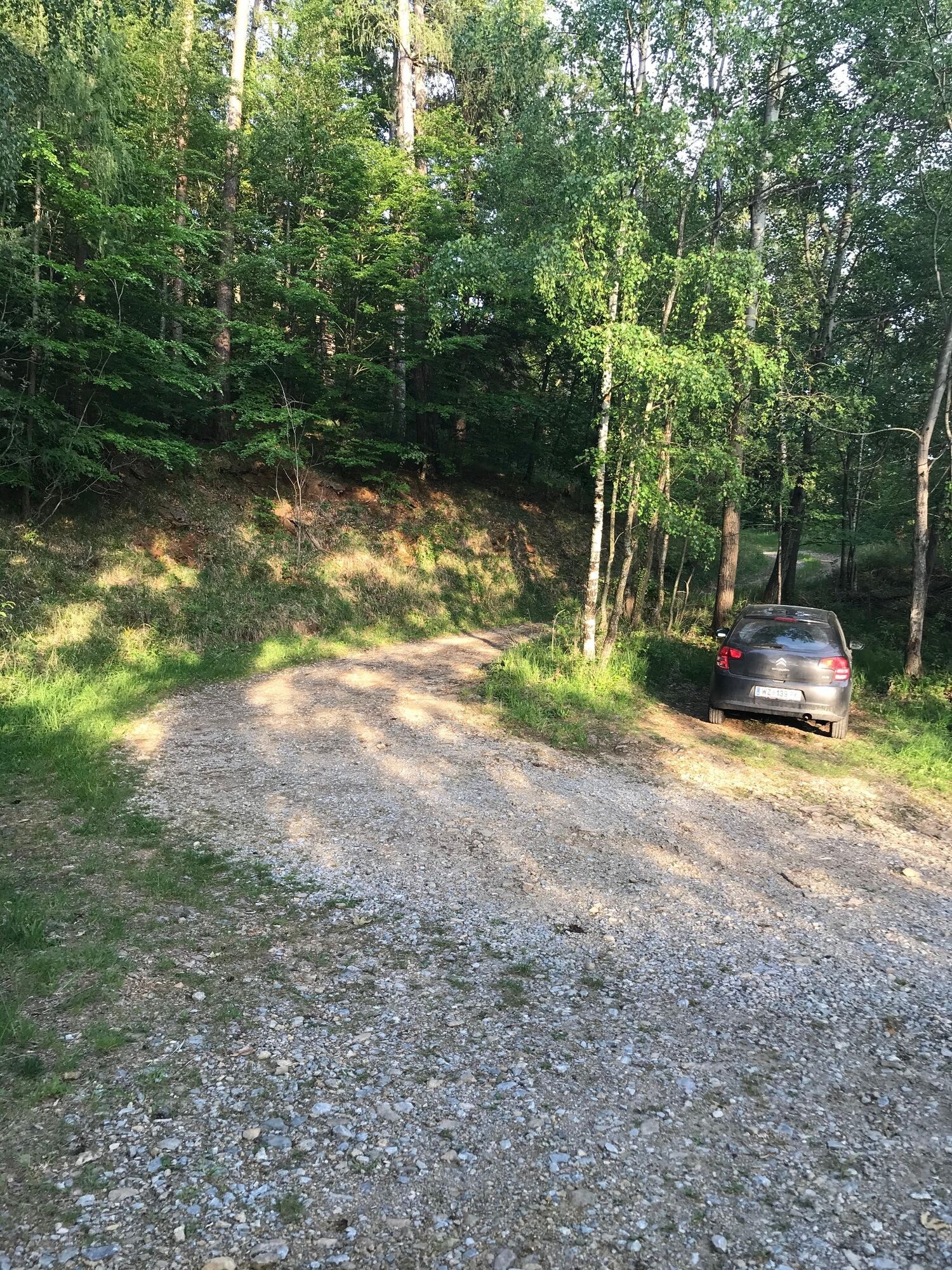
We continue along the road through Thannhausen until we reach the village of Raas. From there on there is also a parking lot in case you want to take a shorter route.
Very soon we come to a forest path and we pass the barrier on the side. From here we follow the path and keep to the right. We follow the large forest paths and keep going up.
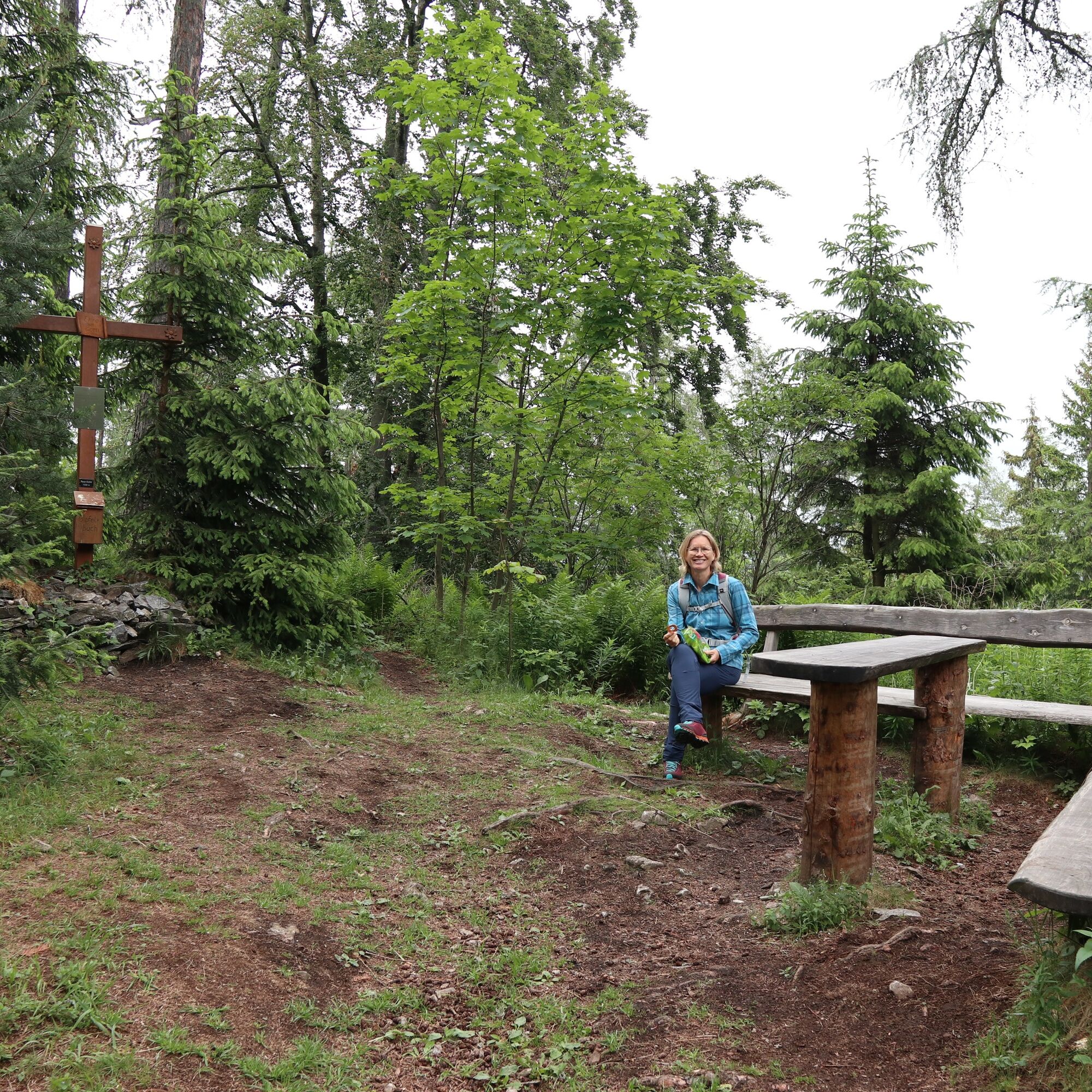
After a short time we reach the summit. Down we go along the same path. - Highest point
- 999 m
- Endpoint
-
Weiz city
- Height profile
-

- Equipment
-
Backpack with water bottle/thermos flask and provisions
Mountain / hiking boots
Appropriate clothing - preferably several layers - "onion principle" on cool days: long hiking pants, do not forget gloves: Headgear, sunglassesrain protection, seat pad
Hiking sticks
cell phone
First aid kit
Route description, detailed plan of the hike/hiking map/GPS device
Before the start of the hike, check the possibilities for refreshments, including opening times, or pack the appropriate food and drink - Safety instructions
-
Important telephone numbers:
Police: 133
Rescue: 144
Euronotruf: 112
- Tips
-
Enjoy your picnic on the spacious benches right at the summit.
- Additional information
- Directions
-
The district capital of Weiz is located in eastern Styria and is very easy to reach via the A2 from Vienna (approx. 2 hrs) and from Graz (approx. 30 min).
- Arrival from Vienna and Graz: On the A2 from Vienna, take exit 161 / Gleisdorf West in the direction of B54 / B64. Follow the B65 / Gleisdorfer Bundesstraße until you reach the B54 / Wechselbundesstraße. At the traffic circle take the second exit to the B64 / Rechberg-Bundesstraße. After about 15 km you will reach the district capital Weiz.
- Arriving from Graz via the federal highway: take Kaiser-Franz-Josef-Kai and Wickenburggasse to Jahngasse / B67a. Follow the B72 to Weiz and take the exit to Weiz -West.
- Public transportation
- Parking


-

-
AuthorThe tour From Weiz to the Raas summit is used by outdooractive.com provided.


General info
-
Oststeiermark
2126
-
Weiz/St. Ruprecht an der Raab
1521
-
Thannhausen
325


