- Brief description
-
Leisurely circular hike through the Steinbachklamm in Albersdorf.
- Difficulty
-
medium
- Rating
-
- Starting point
-
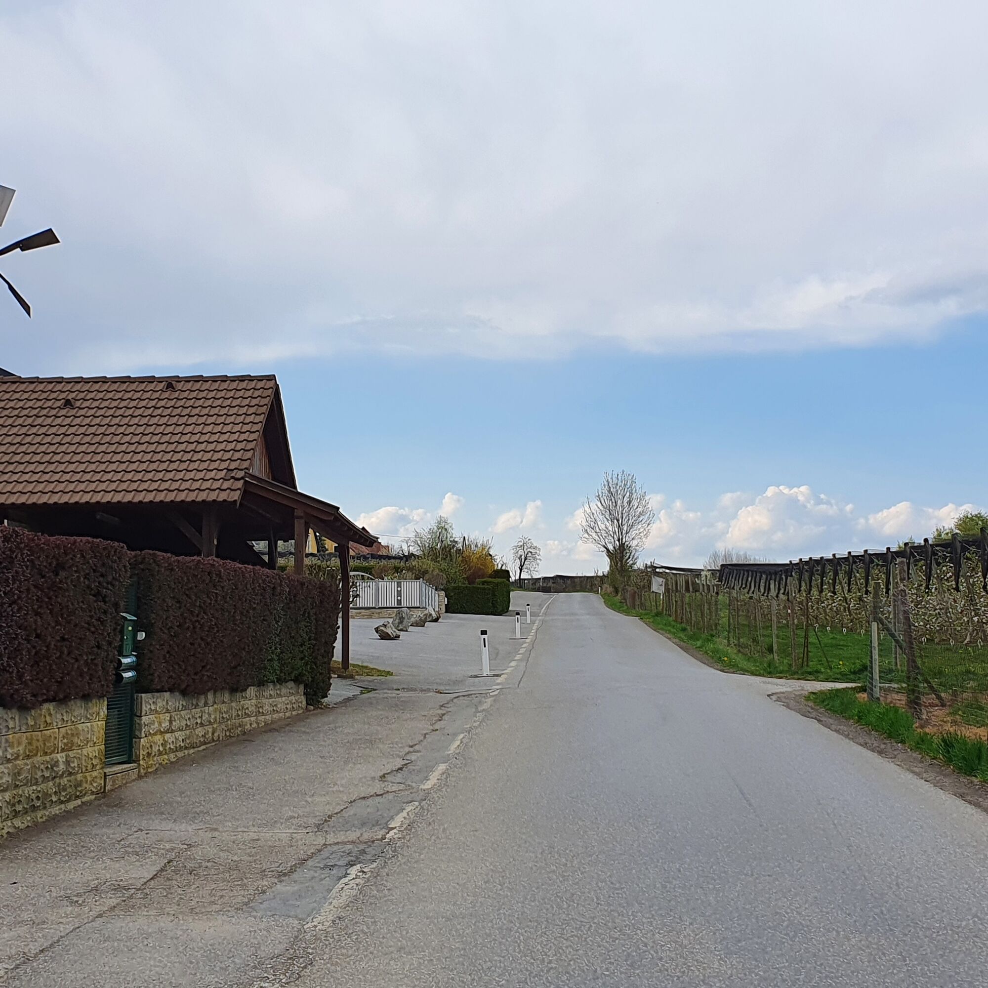
Prebuch car park at the volunteer fire brigade
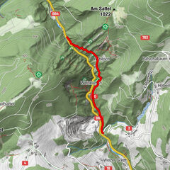
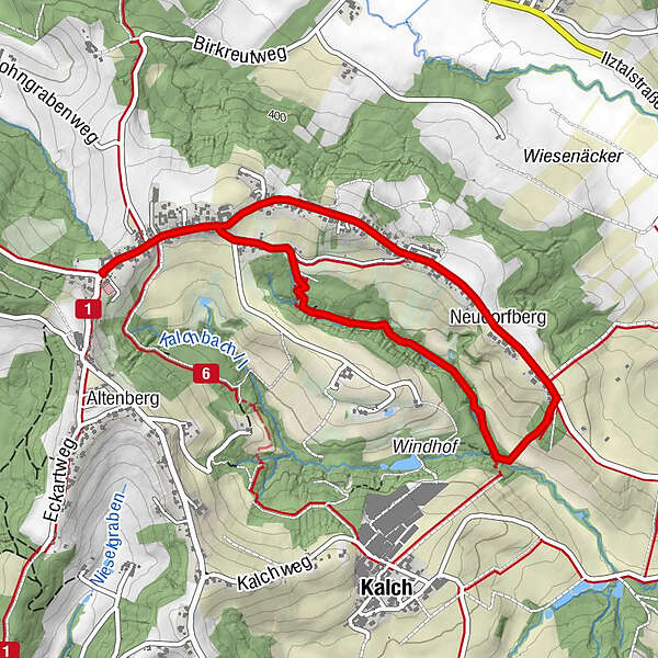
- Route
-
Prebuch0.2 kmNeudorfberg2.8 kmPrebuch4.5 km
- Best season
-
JanFebMarAprMayJunJulAugSepOctNovDec
- Description
-
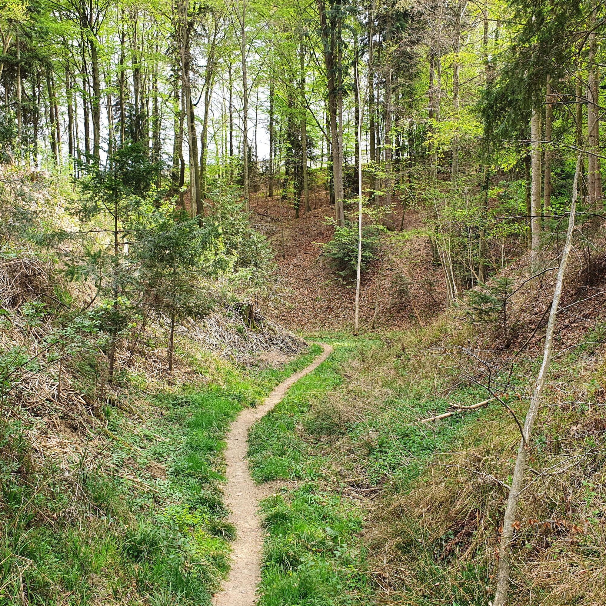
The Steinbachklamm is an insider tip for all those who want to take a short, varied hike through a pristine gorge. Also especially nice with children on warmer summer days!
- Directions
-
We start at the voluntary fire brigade or at the Apfelschlössl in Albersdorf Prebuch in the direction of the school. There we take a leisurely walk along the road past houses decorated with flowers - as is so common in Eastern Styria - until we pass an interestingly designed chapel and after about 500 m turn right towards the Steinbachklamm gorge.
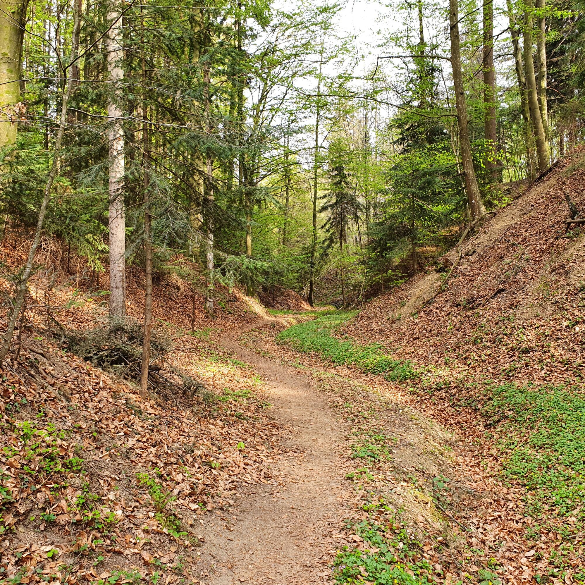
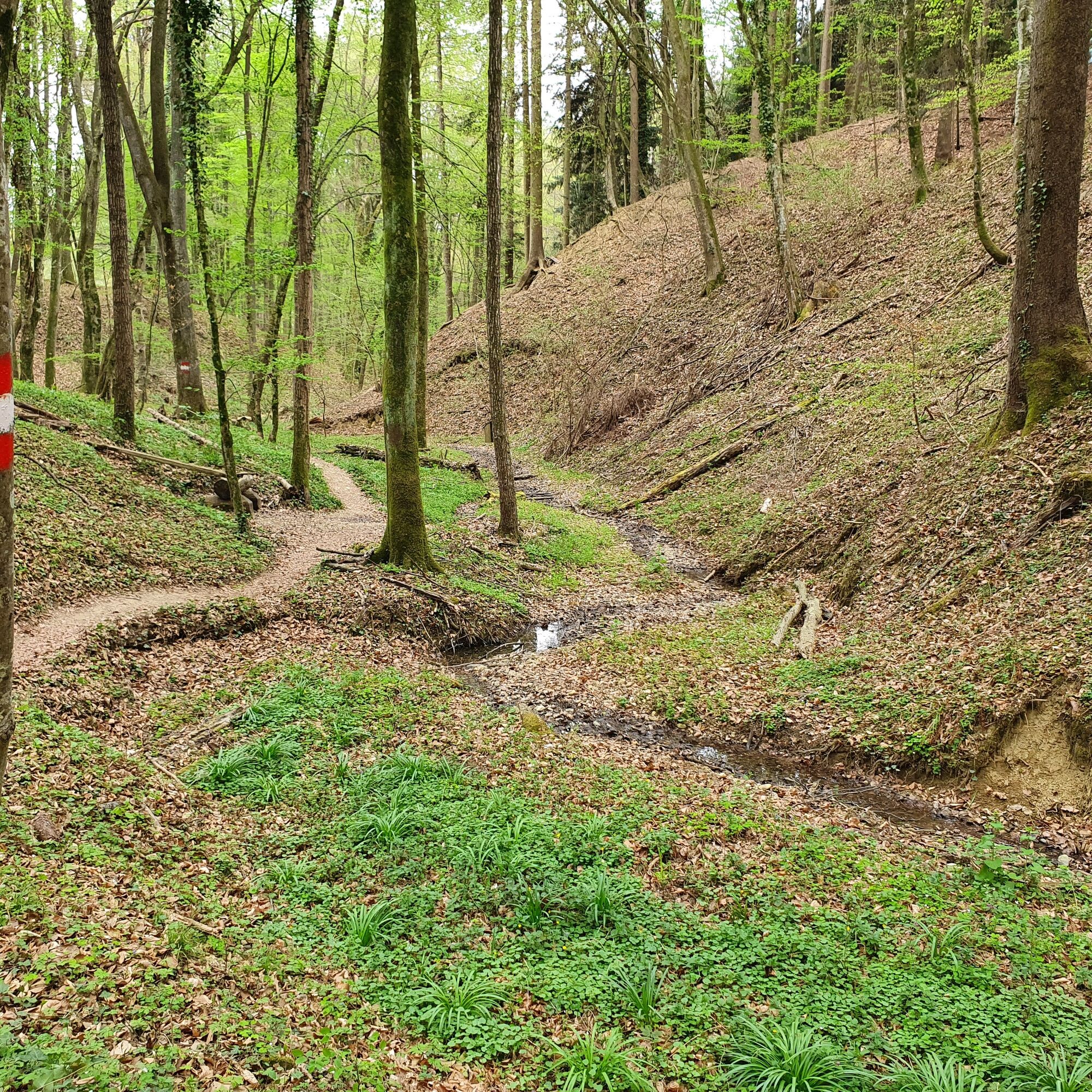
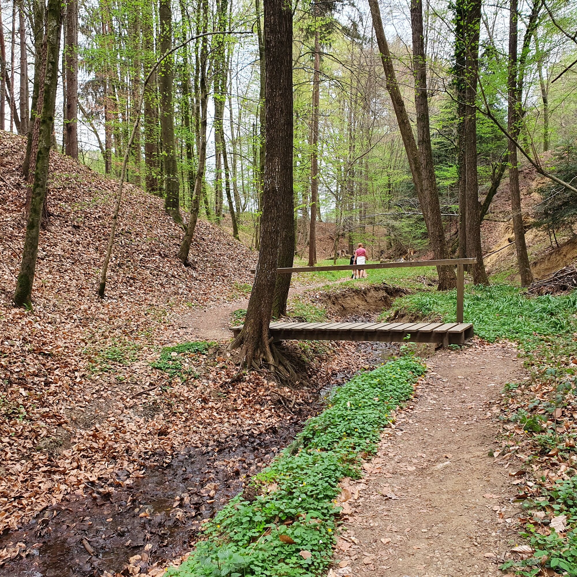
Here we continue along the road for a short while until we descend into the forest and enter the Steinbachklamm gorge.
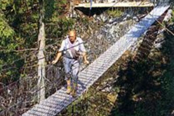
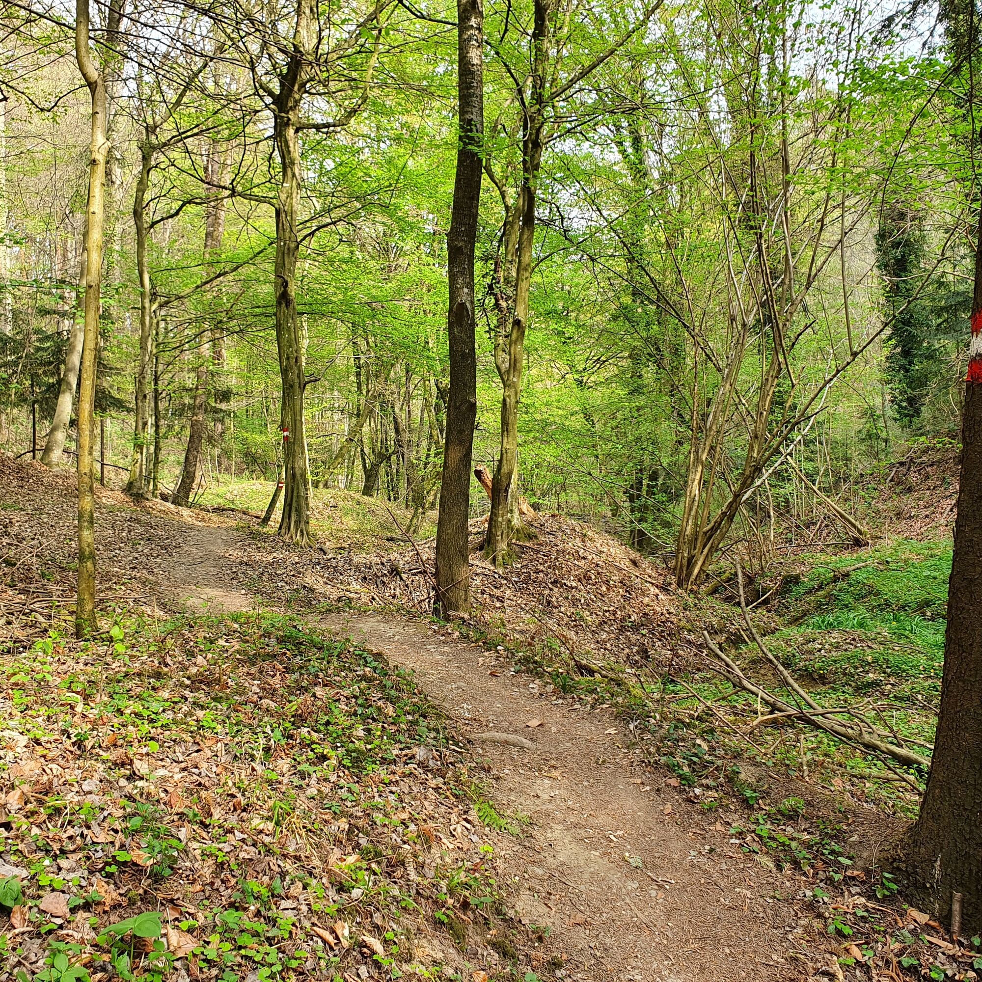
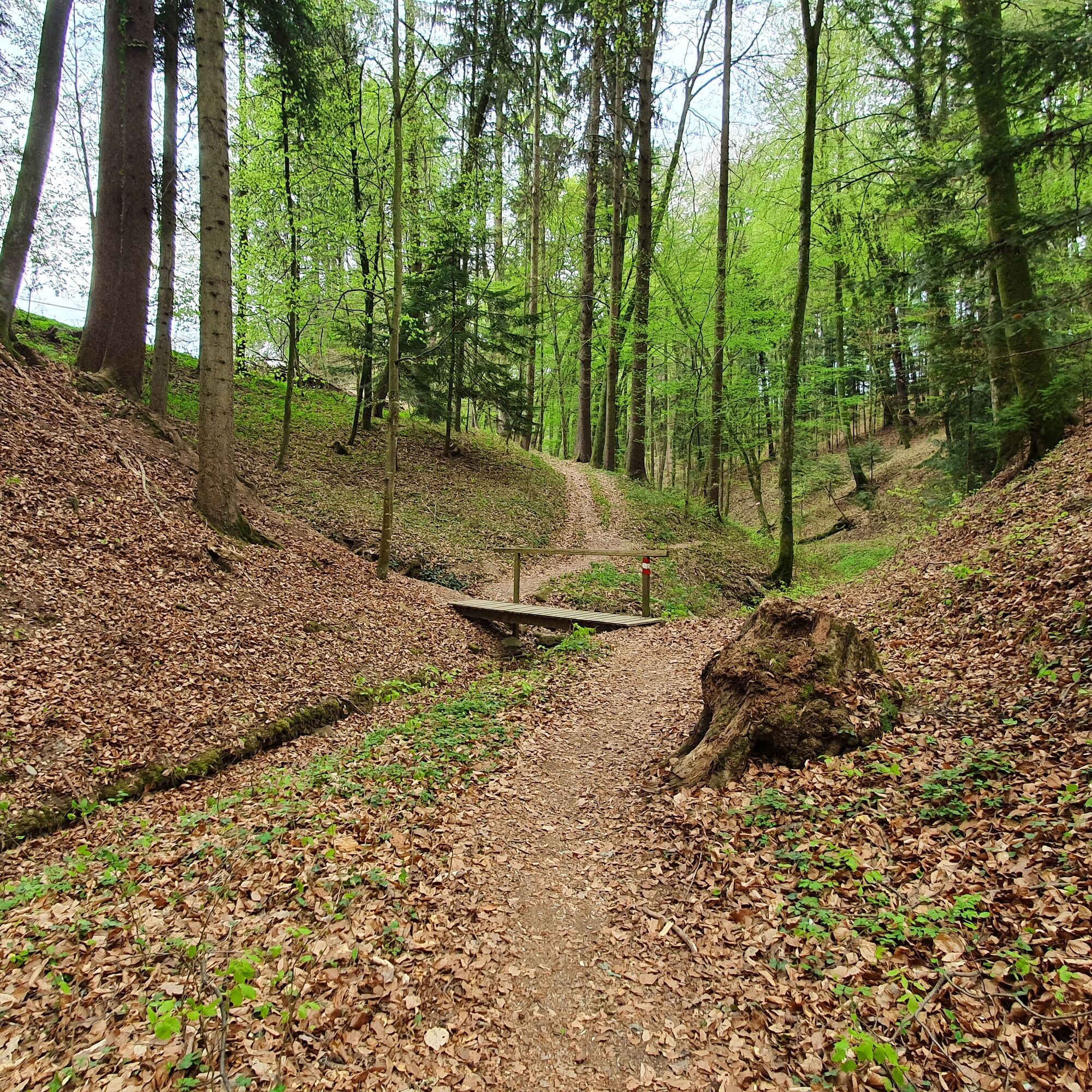
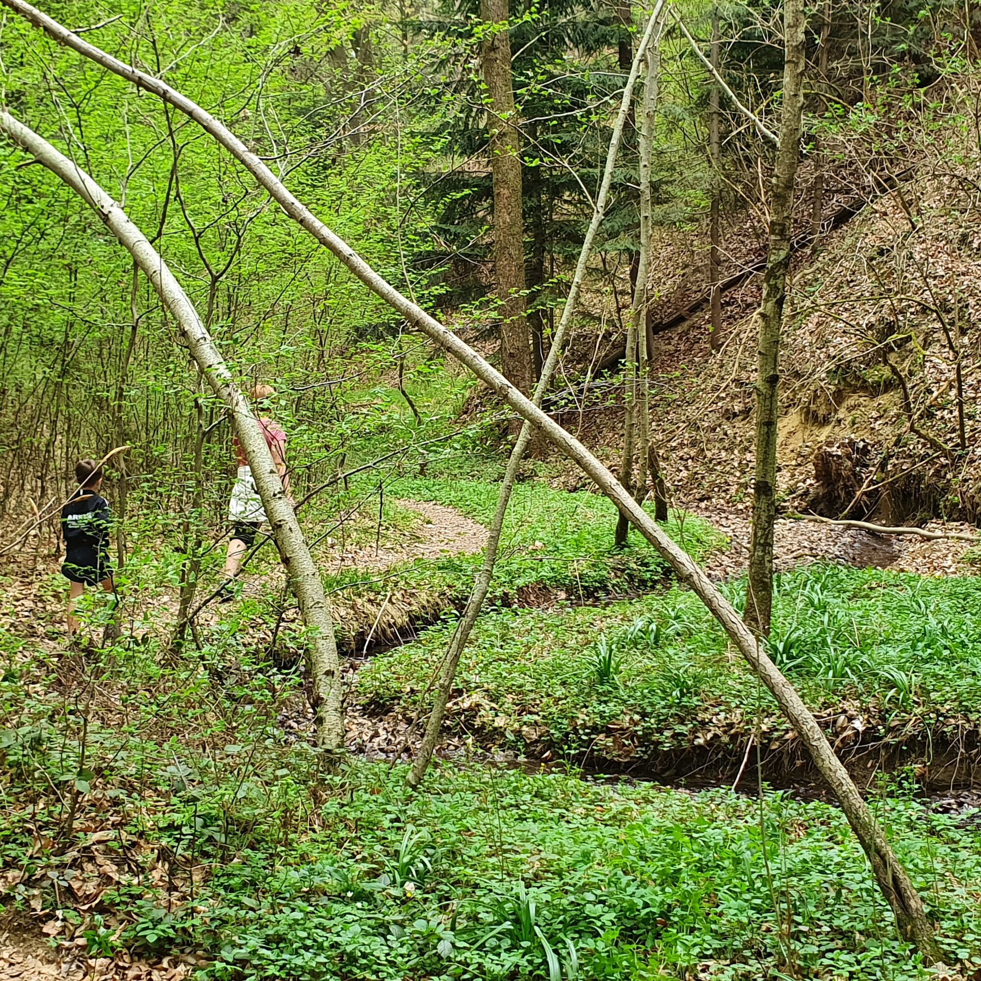
We hike along the Steinbachklamm gorge on narrow paths, with a few bridges to cross and the unspoilt natural landscape here inviting us to linger in many places.
In spring (depending on the weather, mid to late March), numerous spring knot flowers can be admired here and especially on warmer summer days (after a few rainy days), numerous spots invite you to play in the water and relax.
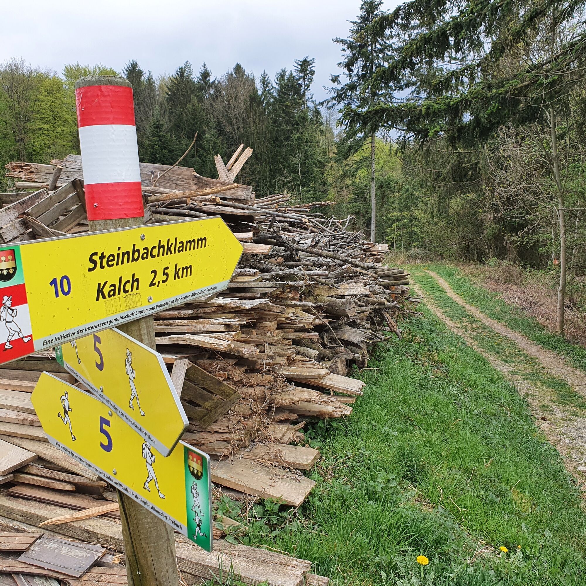
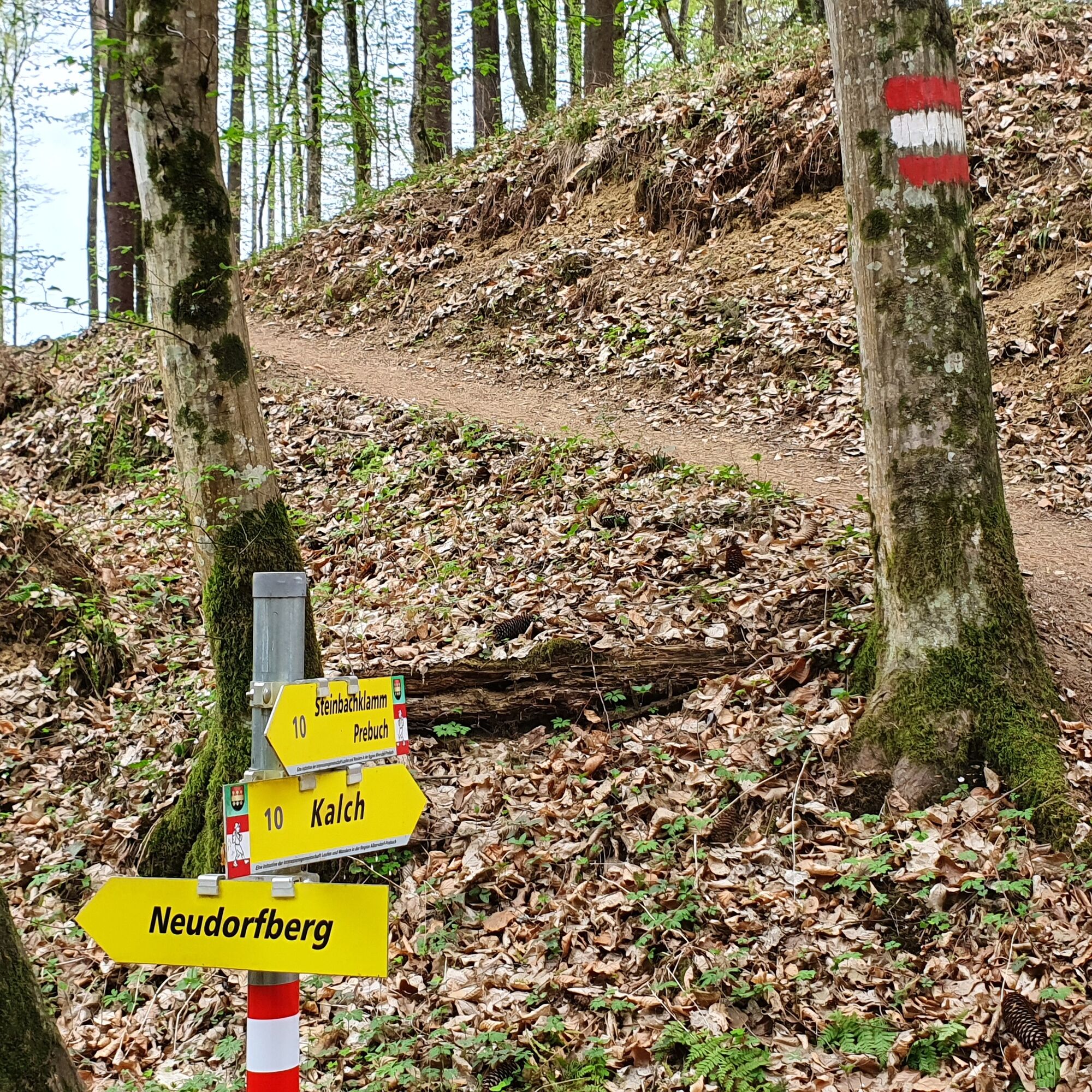
At the end of the gorge at the signposts towards Kalch and Neudorfberg, we take the turn towards Neudorfberg - we stay straight for a short while until we turn off to the left and arrive at the road after a short, easy climb through beautiful fields and a small forest.
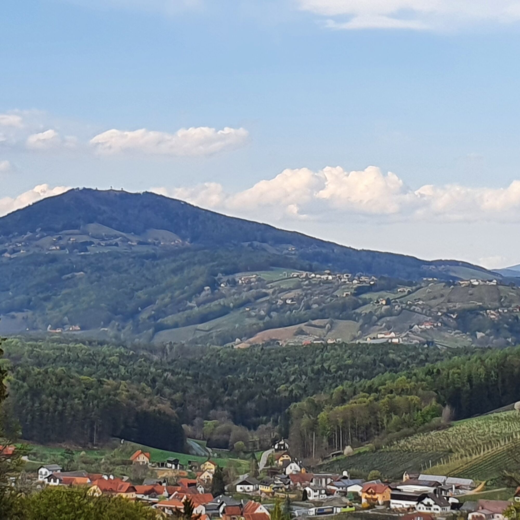
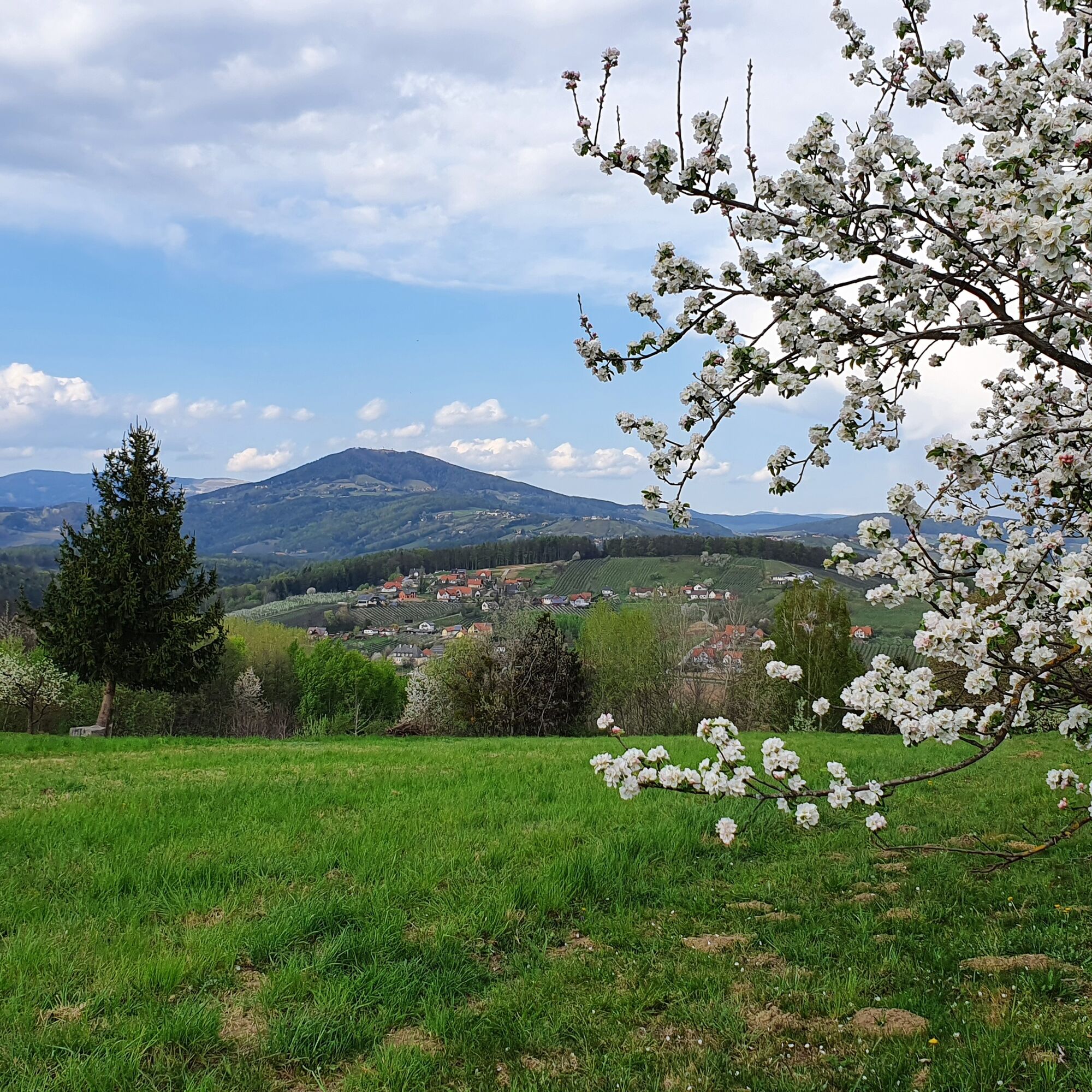
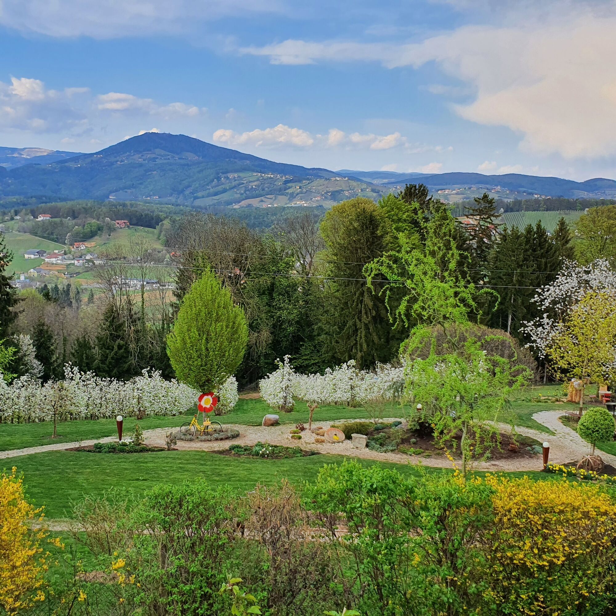
Here we turn left towards Neudorfberg and walk straight on, passing fragrant apple orchards with a beautiful view towards Kulm, along the road back to Albersdorf to our starting point. - Highest point
- 461 m
- Endpoint
-
Prebuch car park at the volunteer fire brigade
- Height profile
-

- Equipment
-
Small rucksack with water bottle (+ provisions)- Sturdy shoes
Appropriate clothing
preferably several layers - "onion principle"
Rain and sun protection
Hiking poles as required
Cell phone
Small first aid kit
Route description
Before starting the hike, check where you can stop for refreshments, including opening times, or pack suitable food and drink. - Safety instructions
-
Important telephone numbers:
European emergency call: 112 Emergency call mountain rescue: 140 (if possible, please provide GPS data) Rescue: 144 Fire department: 122 Police: 133The trail is easy to walk and therefore suitable for the whole family.
A few tips on correct and fair behavior in the forest:
(Source: www.bundesforste.at )
Hikers should avoid visiting the forest approx. 1.5 hours before sunrise and after sunset, as wild animals are particularly active at this time. Plastic bottles, handkerchiefs, cigarette butts etc. have no place in the forest! Please make sure that you do not leave any garbage in the forest. Camping and making fires is strictly forbidden in the forest! In principle, every person in the forest is allowed to collect 2 kg of mushrooms and berries per day for their own use. It is only prohibited if the forest owner expressly forbids it. - Tips
-
Stop off at the Apfelschlössel or drive the few kilometres to St. Ruprecht an der Raab where you will find a variety of restaurants and, especially if you are travelling with children, numerous ice cream parlours with homemade ice cream!
- Additional information
- Directions
-
Arrival from Vienna and from Graz via the motorway:
On the A2 from Vienna and from Graz, take motorway exit 161 / Gleisdorf West in the direction of B54/B64. Follow the B65 / Gleisdorfer Bundesstraße until you reach the B54 / Wechselbundesstraße. At the roundabout take the second exit to the B64 / Rechberg-Bundesstraße. After about 2 km turn right towards Albersdorf-Prebuch.
- Public transportation
- Parking


-

-
AuthorThe tour Steinbachklamm - way back via Neudorfberg is used by outdooractive.com provided.


General info
-
Oststeiermark
2126
-
Weiz/St. Ruprecht an der Raab
1521
-
Ilztal
189