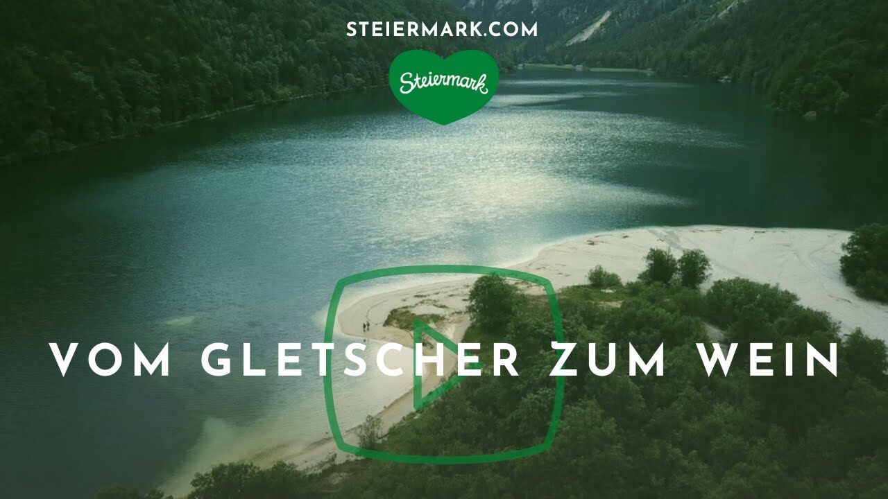
Stage 05 From Glacier to Wine North Route Tauplitzalm - Hochmölbinghütte


- Brief description
-
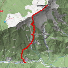
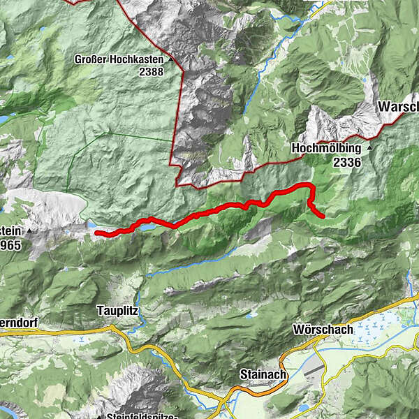
On a section of the long-distance hiking trail 09, the Salzsteig, the route leads through the southern part of the Tote Gebirge mountains to the Ennstal valley. At the beginning, the crossing of the Tauplitzalm is on the program and thus the visit of the largest lake plateau in Europe. At the end, the Hochmölbinghütte with its beautiful location above the Ennstal awaits us.
- Difficulty
-
medium
- Rating
-
- Starting point
-
Tauplitzalm
- Route
-
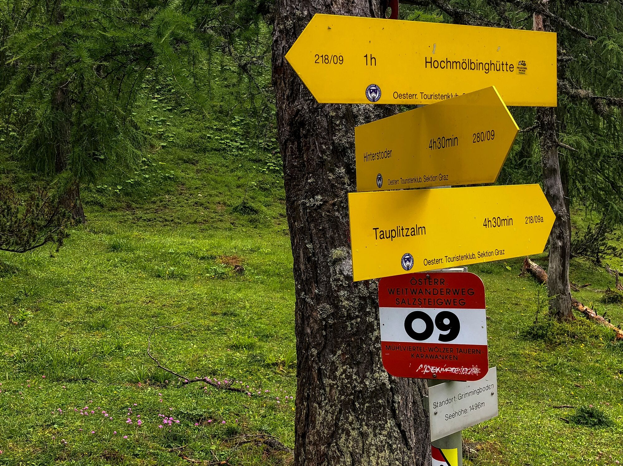
Tauplitzalm0.6 kmAlmrausch Hütte1.9 kmTraweng Hütte1.9 kmInterhüttenalm7.9 kmHochmölbinghütte14.4 km
- Best season
-
JanFebMarAprMayJunJulAugSepOctNovDec
- Description
-
The trail through the Tote Gebirge is a beautiful contrast to the crossing of the Tauplitzalm with its numerous lakes at the beginning of the tour. The name is probably derived from the heavily karstified and largely vegetation-free high plateau. The Tote Gebirge is lower in the west, where the mountain forest characterized by pines, larches and Swiss stone pines in high valleys between 1,400 and 1,600 m above sea level. Towards the east, the mountains become higher and less vegetated. The water masses that result from rain or snowfall quickly seep into the karst system, so that the mountains are considered to have little water.
- Directions
-
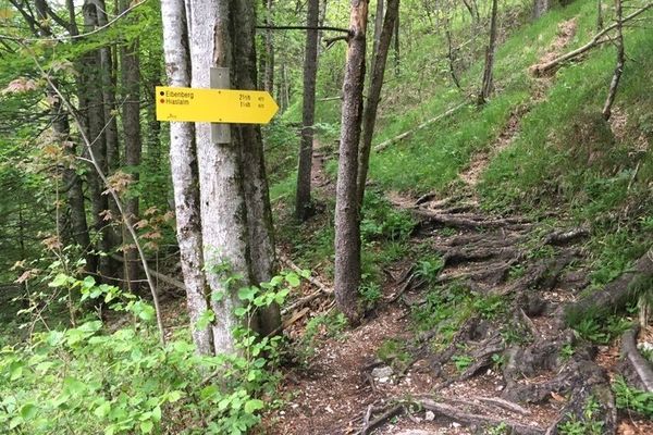
At the beginning we hike past the Tauplitzsee in an easterly direction and thus move further and further away from the hustle and bustle in the center of the Tauplitzalm. Shortly before the Steirersee we should make a detour to one of the most beautiful places in Styria, to the Steirerbankerl above the lake. After visiting this popular photo spot we pass the Steirerseehütten and the lake of the same name to soon reach the next and easternmost lake of the Tauplitzalm, the Schwarzensee. The lake probably got its name because in cloudy weather or when a thunderstorm approaches, the water surface becomes extremely dark.
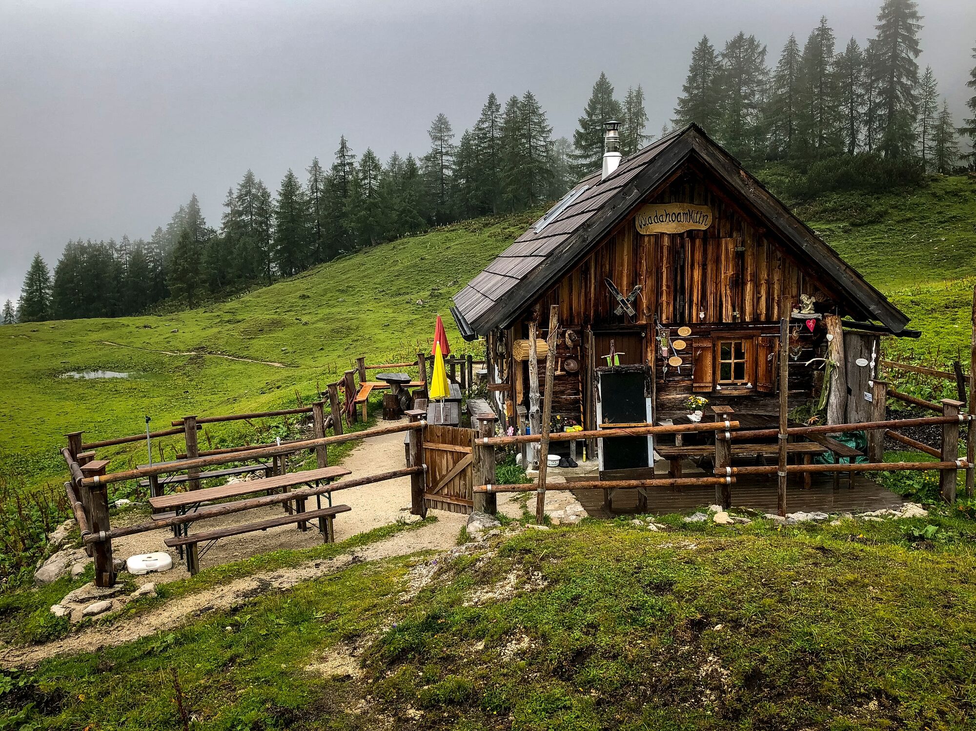
Via the Leistalmhütte, where we keep straight on, the Interhüttenalm and the Hanslhütte, this stage of the hiking route "From Glacier to Wine" leads us further in the direction of Wörschach (Tourist Information Tel. +43 3682 23999) to the Hochmölbinghütte on the Niederhüttenalm. As this route already shows, the majority of the route leads over beautiful alpine pastures. And the best thing about it: the meters in altitude are also kept within limits, because this section from the Tauplitzalm to the Hochmölbinghütte (Tel. +43 676 9003909) is always between an altitude of 1,409 and 1,759 m above sea level. After arriving at the hut, a refreshment is once announced, and after you have made yourself comfortable, the planning for the next stage to Wörschach can also start.
- Highest point
- 1,759 m
- Endpoint
-
Hochmölbinghütte
- Height profile
-

- Equipment
-
Proper backpack packing makes many things easier: Pack heavy things first. The water bottle should always be within reach in a side pocket. All the things that are often needed, such as sunglasses, camera or hiking map, belong on top. An emergency kit, including blister plasters, belongs in every rucksack and it is always advisable to dress in layers.
- Safety instructions
-
Emergency call mountain rescue: 140
Tips when reporting an emergency – Answer these six WH questions: What happened? How many people are injured? Where did the accident happen (are there GPS coordinates)? Who is reporting the incident (callback number)? When did the accident happen? What is the weather like at the site of the incident?
- Tips
-
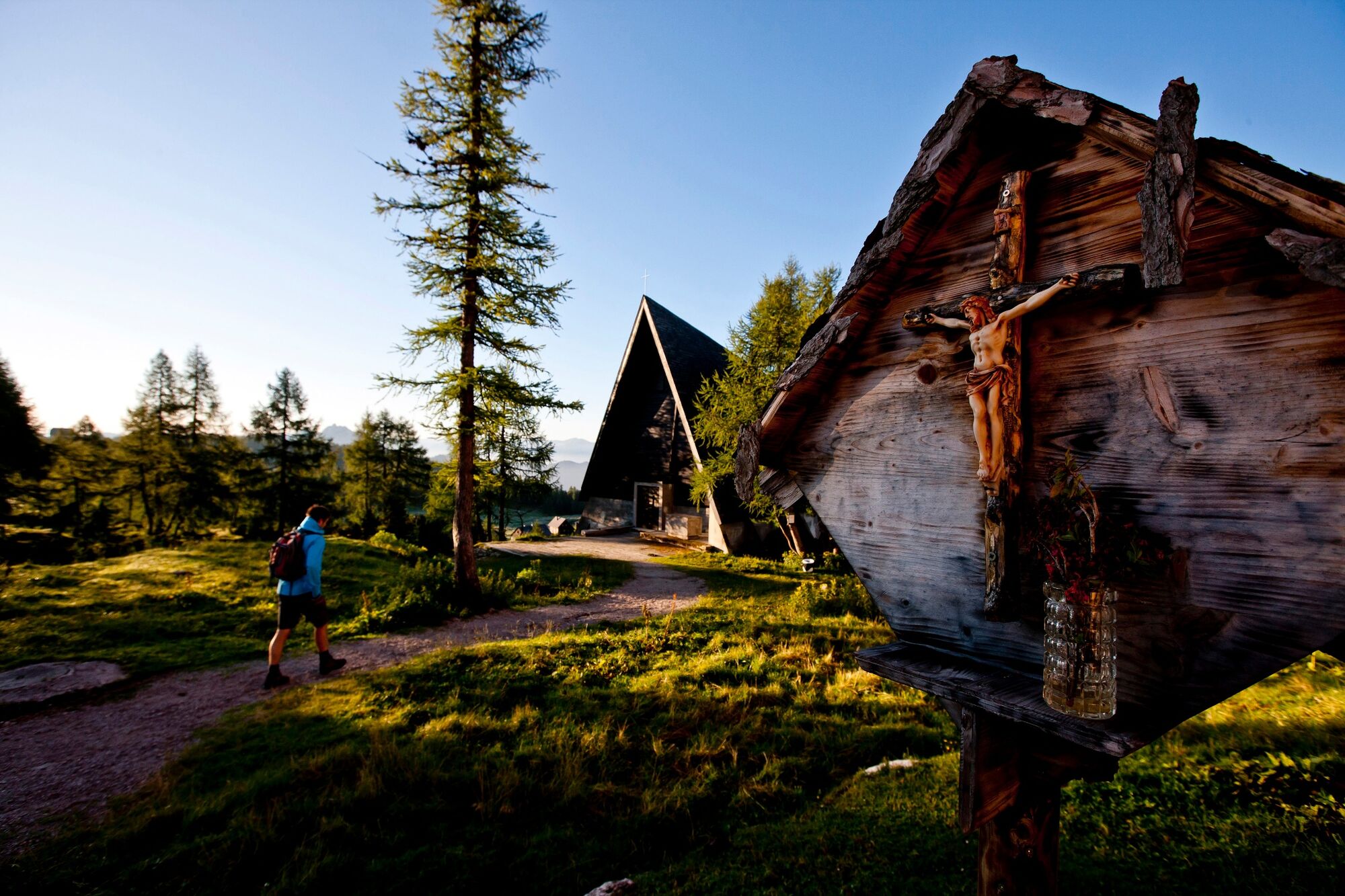
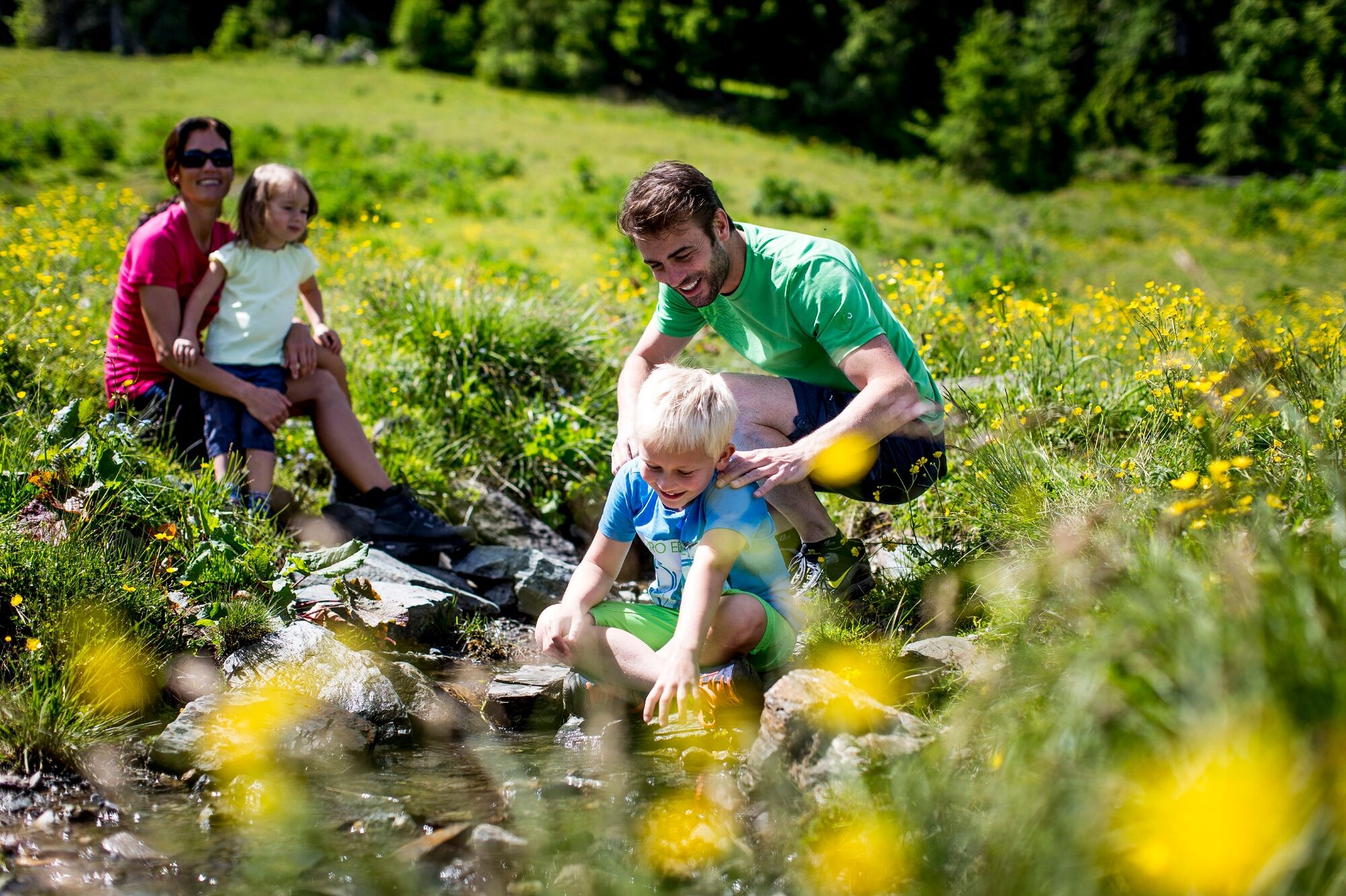
Many long-distance hikers also like to spend an extra day or two on the Tauplitzalm, as this lake plateau with its numerous attractions such as the 6-lake hike or a climb up the Lawinenstein or Großes Tragl lookout mountains is a particularly attractive stopover.
- Additional information
-
Steiermark Tourismus
Tel. +43 316 4003
If you would like to hire a tour operator, simply book with Steiermark Touristik, the official travel agency of Steiermark Tourismus:
Tel. +43 316 4003 450,
The Steiermark Touren app, available free of charge on Google Play and the App Store (Android, iOS), offers detailed first-hand information: brief facts (length, duration, difficulty, ascent and descent/elevation gain, ratings), map, route descriptions, altimeter, compass, peak finder, navigation along the tour. You can also create your own personal lists of favourite tours and sites, store tours and destinations offline, use social media channels, and much more.
- Public transportation
-
Accessible by train and bus.
Detailed information about arriving by ÖBB (Austrian Federal Railways) can be found at www.oebb.at or on the Verbundlinie Steiermark website www.busbahnbim.at
With Verbundlinie’s BusBahnBim route planner app, planning your journey has never been easier: simply enter towns and/or addresses, stop names or points of interest to check all bus, train and tram connections in Austria. The app is available free of charge for smartphones – on Google Play and in the App Store
- Parking
-
In Tauplitz at the valley station are numerous parking spaces available. The chairlift takes us comfortably up to the Tauplitzalm. Another option is the toll road to the parking lot below the Hollhaus on the Tauplitzalm.
-

-
AuthorThe tour Stage 05 From Glacier to Wine North Route Tauplitzalm - Hochmölbinghütte is used by outdooractive.com provided.