© Tourismusverband Region Murau - Johanna Jäger

© Tourismusverband Region Murau - Johanna Jäger

© Tourismusverband Region Murau - Johanna Jäger

© Tourismusverband Region Murau - Johanna Jäger


- Brief description
-
This is a demanding hike that should not be underestimated.
- Difficulty
-
difficult
- Rating
-
- Starting point
-
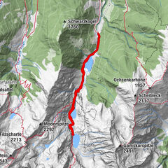
Sölkpaß - Kaltenbachkehre
- Route
-
Kaltenbachalm1.6 kmSchafspitze (2,310 m)4.4 kmDeneck (2,433 m)4.9 km
- Best season
-
JanFebMarAprMayJunJulAugSepOctNovDec
- Description
-
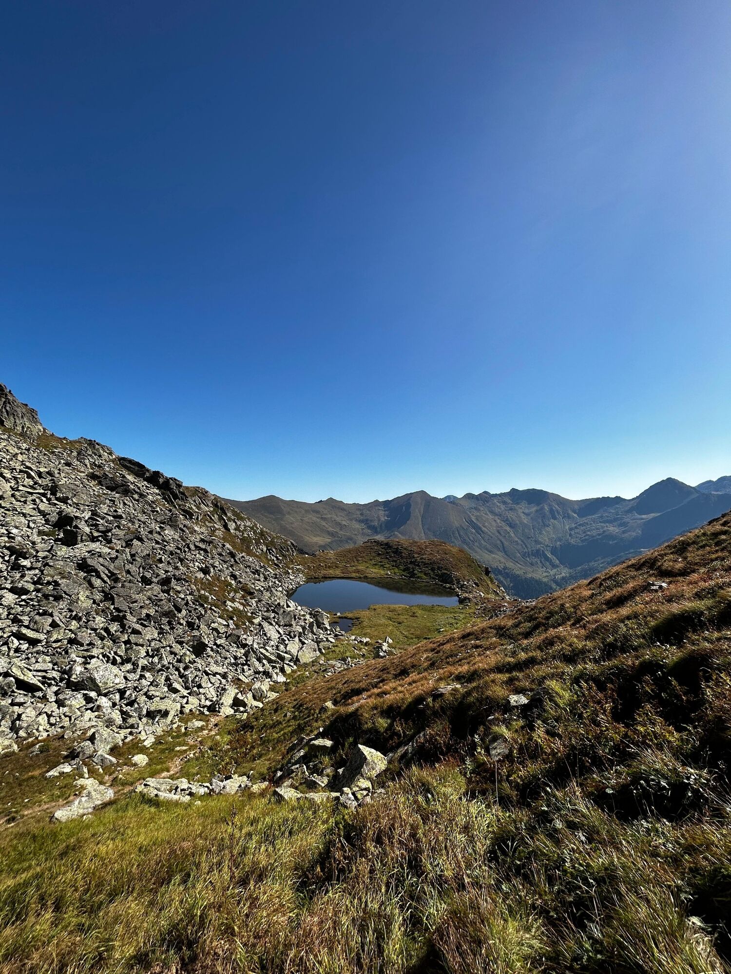
In addition to wonderful mountain scenery, this tour offers fantastic panoramic views. However, in some sections of the route the hiking route may not be challenged. On the last part of the tour you have to climb over smaller rocks and walk along narrow paths.
- Directions
-
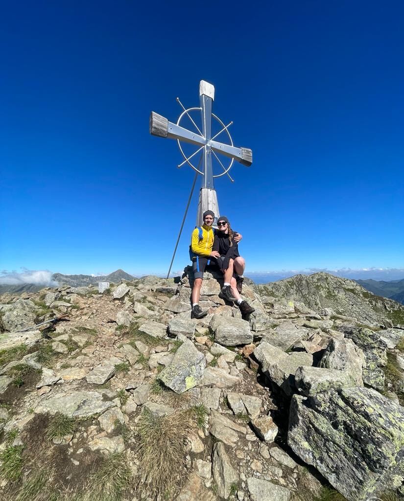
From the Kaltenbachkehre you hike across a small body of water in serpentines to the lower Kaltenbachsee. Continue across beautiful alpine pastures to the middle and upper Kaltenbachsee. The hike continues over the Etrachboden over a beautiful alpine meadow towards the summit. The last climb is stony-steep to moderately difficult. Surefootedness is an important prerequisite for the last 100 meters. You reach the summit cross after about three hours.
The way back is on the ascent route.
- Highest point
- 2,375 m
- Endpoint
-
Deneck
- Height profile
-

- Equipment
-
Good shoes
Sun protection
Sufficient food - Tips
-
Pack your swimsuit to cool off in the mountain lakes.
- Additional information
-
The ideal time for this tour is from June to October.
- Directions
-
Coming from Judenburg via Unzmarkt to Scheifling. Turn right here and drive to Murau. In Katsch an der Mur, keep right again and drive to Schöder. Before Schöder, turn right again and take the road to the Sölkpass.
Coming from Tamsweg via Ranten (or Stadl an der Mur) keep left towards Schöder. After Schöder turn left and drive along the road to the Sölkpass.
- Public transportation
-
With the BusBahnBim app from the interconnected line, timetable information is easier than ever: all bus, train and tram connections in Austria can be queried by entering locations and/or addresses, stops or important points. The app is available as a free app for smartphones (Android, iOS) - on Google Play and in the App Store.
- Parking
-
Public parking is available directly at Kaltenbachkehre.


- Author
-
The tour Deneck is used by outdooractive.com provided.
GPS Downloads


General info
A lot of view
Other tours in the regions