
- Brief description
-
Moderately difficult hike with picturesque landscape backdrops and a not too difficult climb.
- Difficulty
-
medium
- Rating
-
- Starting point
-
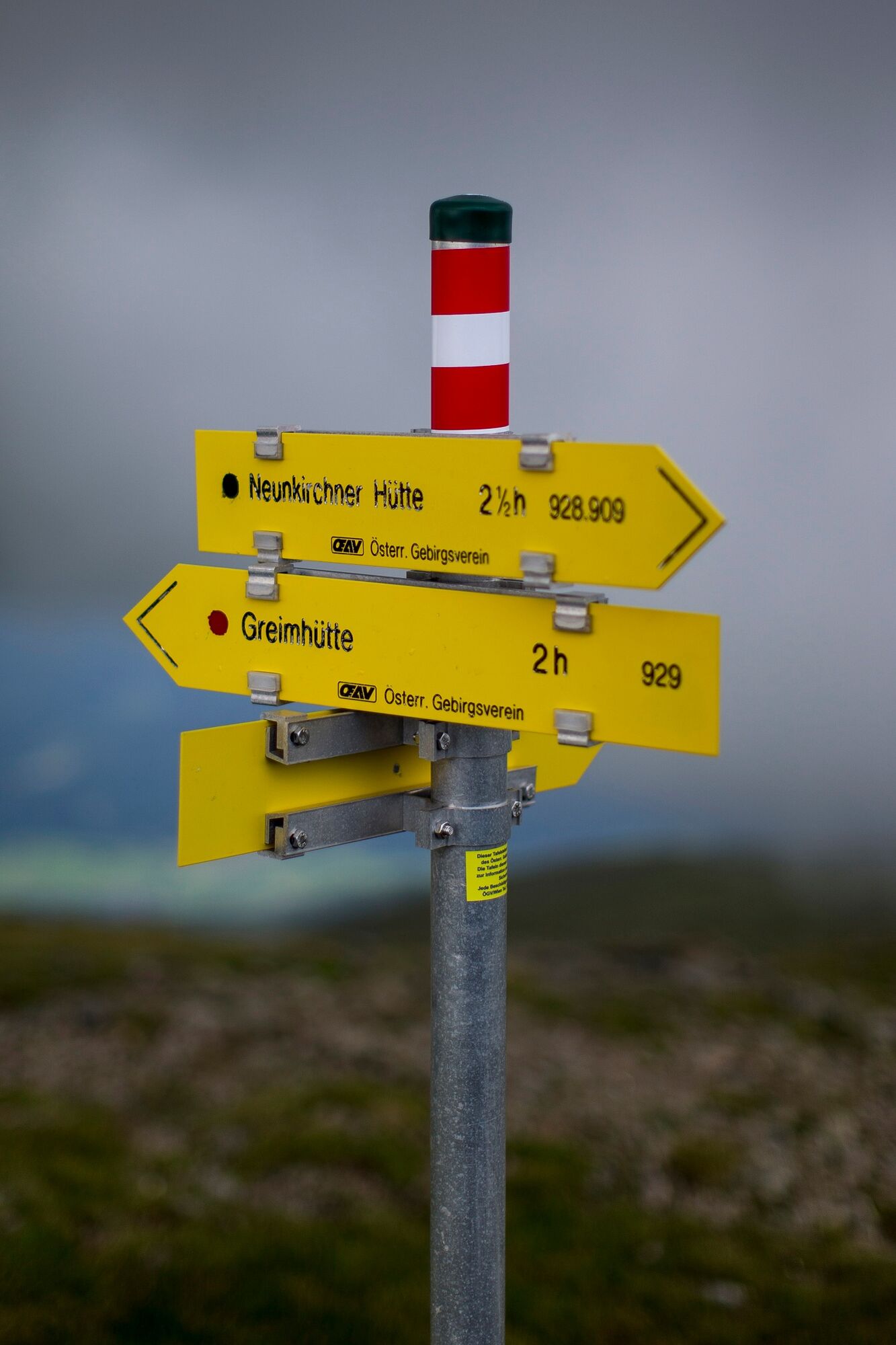
Greimhütte
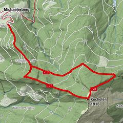
- Route
-
Greim (2,474 m)2.9 km
- Best season
-
JanFebMarAprMayJunJulAugSepOctNovDec
- Description
-
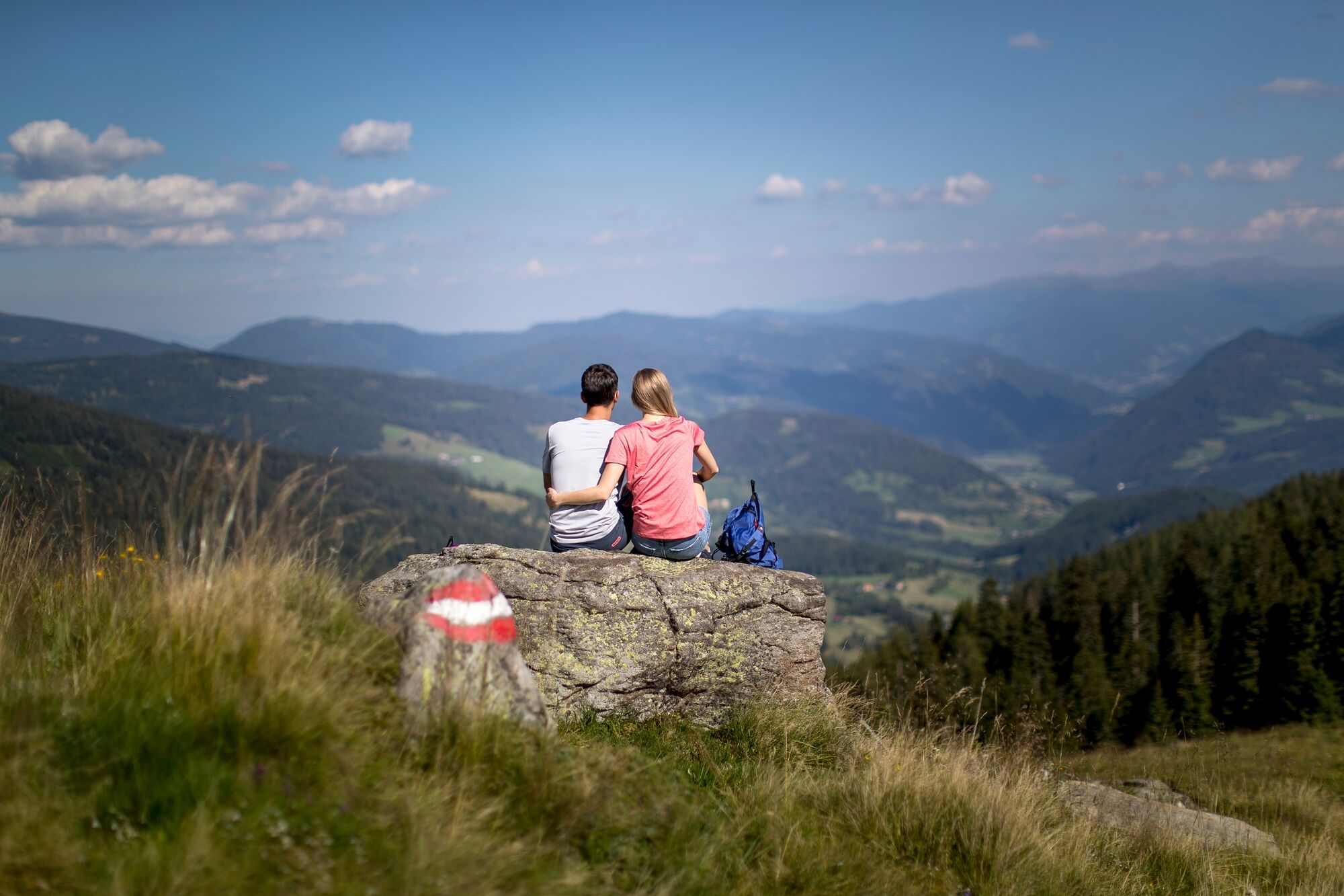
A worthwhile tour with wonderful views of the entire Wölzer Tauern, as far as Grimming and the Totes Gebirge in the north. To the eastern Alpine glaciers of the Hochalspitze and the Ankogel, the Preber in the west; the Zirbitzkogel, the Koralpe to the Julian Alps and the Trglav in the south.
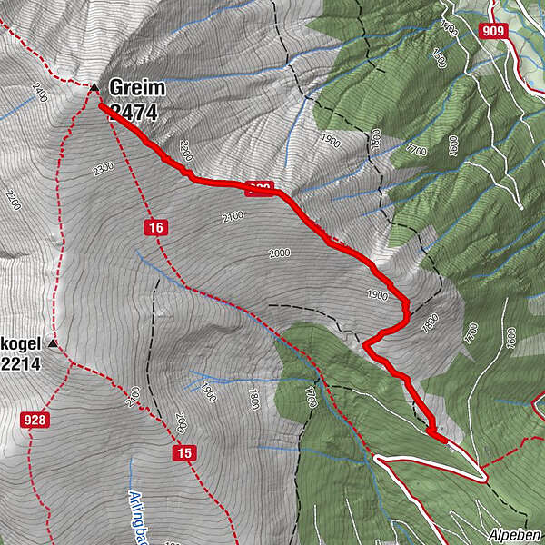
- Directions
-
From the Greim car park, a hiking trail leads slightly uphill towards Greimrinne (NW). After about 800 m, the marked trail 929 branches off to the right (NE) and leads over rather steep, tree-free terrain to the ridge. Following the ridge to the west, trail 929 leads to the summit of Greim (2,474m).
The way back is on the same route.
- Highest point
- 2,427 m
- Endpoint
-
Greim
- Height profile
-

- Equipment
-
Good shoes
Sun protection
Sufficient food - Tips
-
The Greimhütte is open from May to October.
- Additional information
-
The ideal time for this tour is from May to October.
- Directions
-
Coming from Judenburg via Unzmarkt to Scheifling. Turn right here and drive towards Murau. In Katsch in der Mur keep right again and drive to St. Peter am Kammersberg. Here turn right again and drive to Pöllau am Greim.
Coming from Tamsweg, drive via Ranten (or Stadl an der Mur) to Murau. Keep left here and drive via Schöder to St. Peter am Kammersberg. In St. Peter am Kammersberg turn left again and drive to Pöllau am Greim.
- Public transportation
-
With the BusBahnBim app from the interconnected line, timetable information is easier than ever before: all bus, train and tram connections in Austria can be queried by entering locations and/or addresses, stops or important points. The app is available as a free app for smartphones (Android, iOS) - on Google Play and in the App Store.
- Parking
-
Public parking spaces are available directly at the Greimhütte.


- Author
-
The tour Greim is used by outdooractive.com provided.