


- Brief description
-
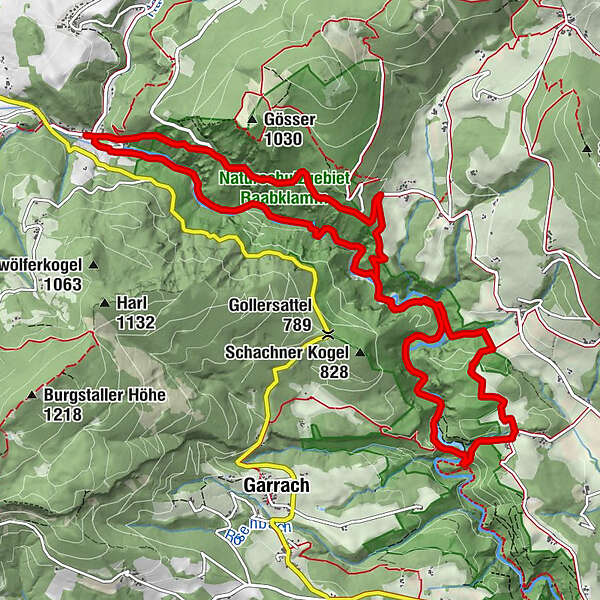
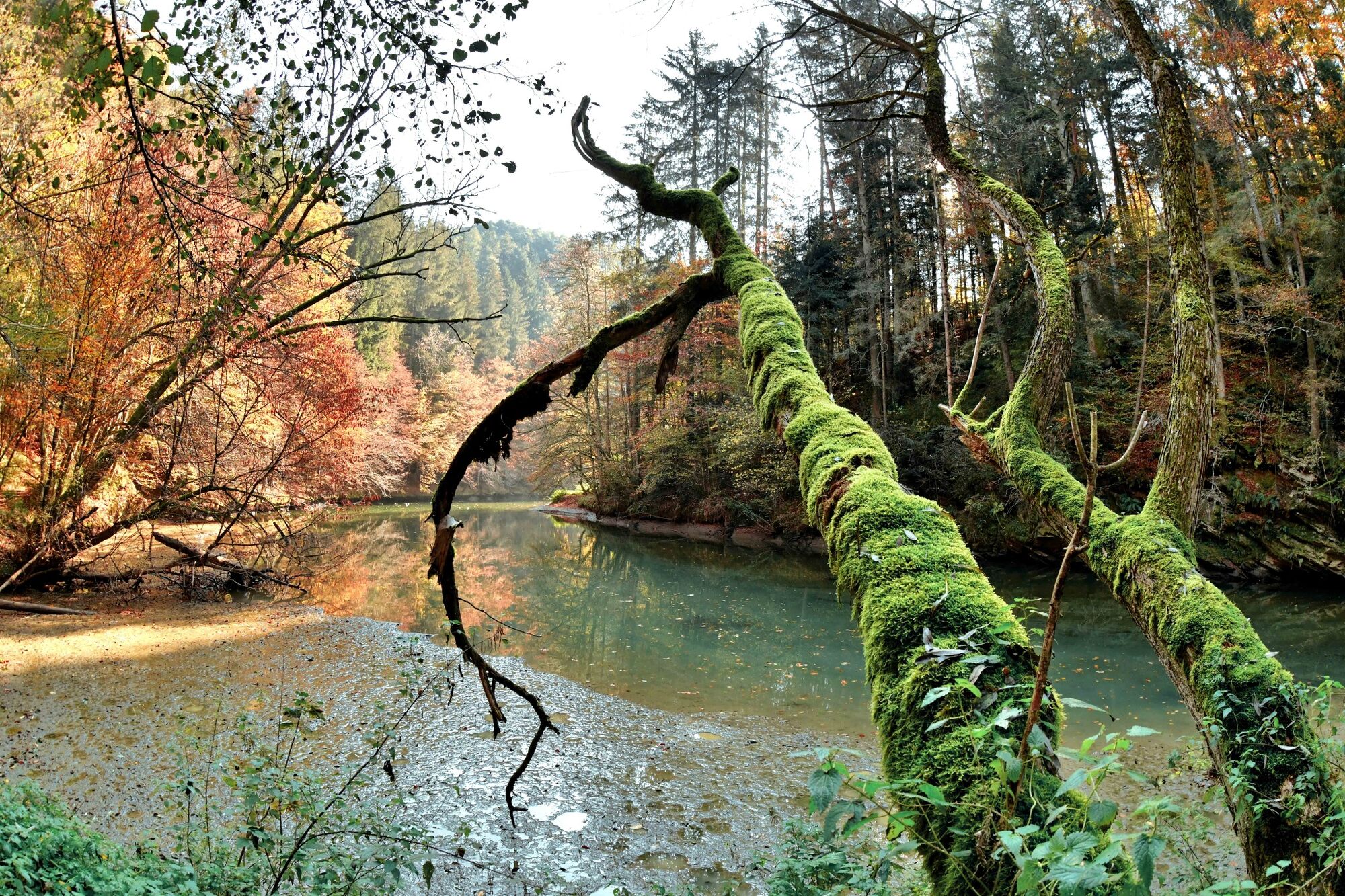
The Raabklamm, the longest gorge in Austria, is a beautiful water hiking trail.
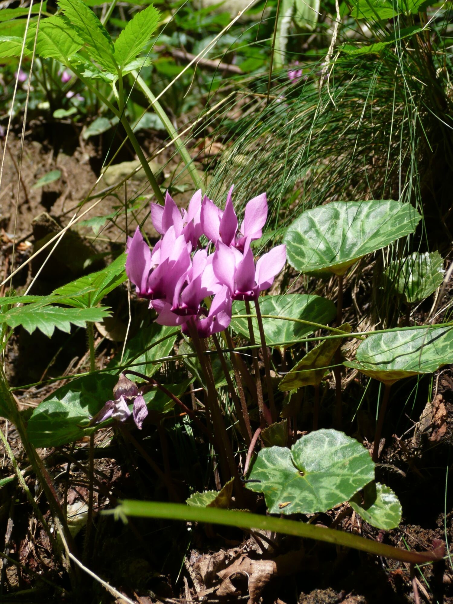
But the Raabklamm is also a nature reserve with a great wealth of species.
- Difficulty
-
medium
- Rating
-
- Starting point
-
Town Centre Arzberg
- Route
-
Gasthof Forellenhof Schweinegger-Mandl0.0 kmArzberg0.1 kmKohlquelle2.1 kmGösserquelle2.4 kmModerloch5.4 kmKonrad-Kahr-Platz6.4 kmGrillbichl7.0 kmHl. Jakobus der Ältere13.5 kmGasthaus zum Kirchenwirt13.6 kmArzberg13.7 kmGasthof Forellenhof Schweinegger-Mandl13.8 km
- Best season
-
JanFebMarAprMayJunJulAugSepOctNovDec
- Description
-
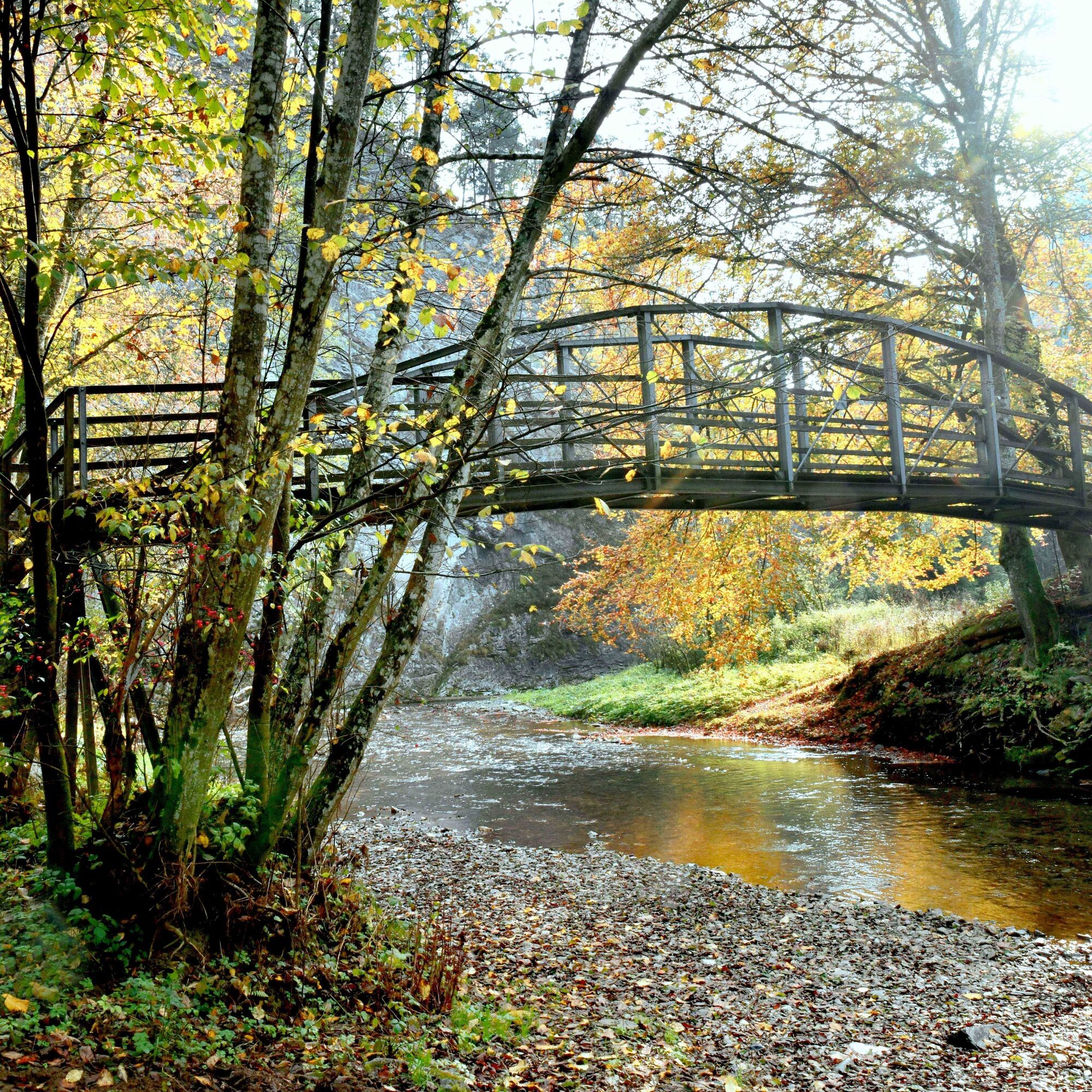
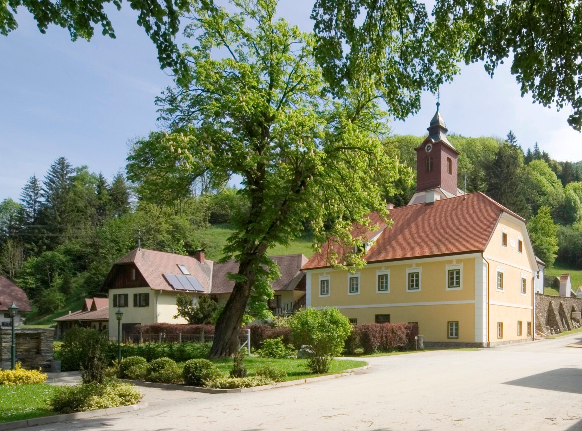
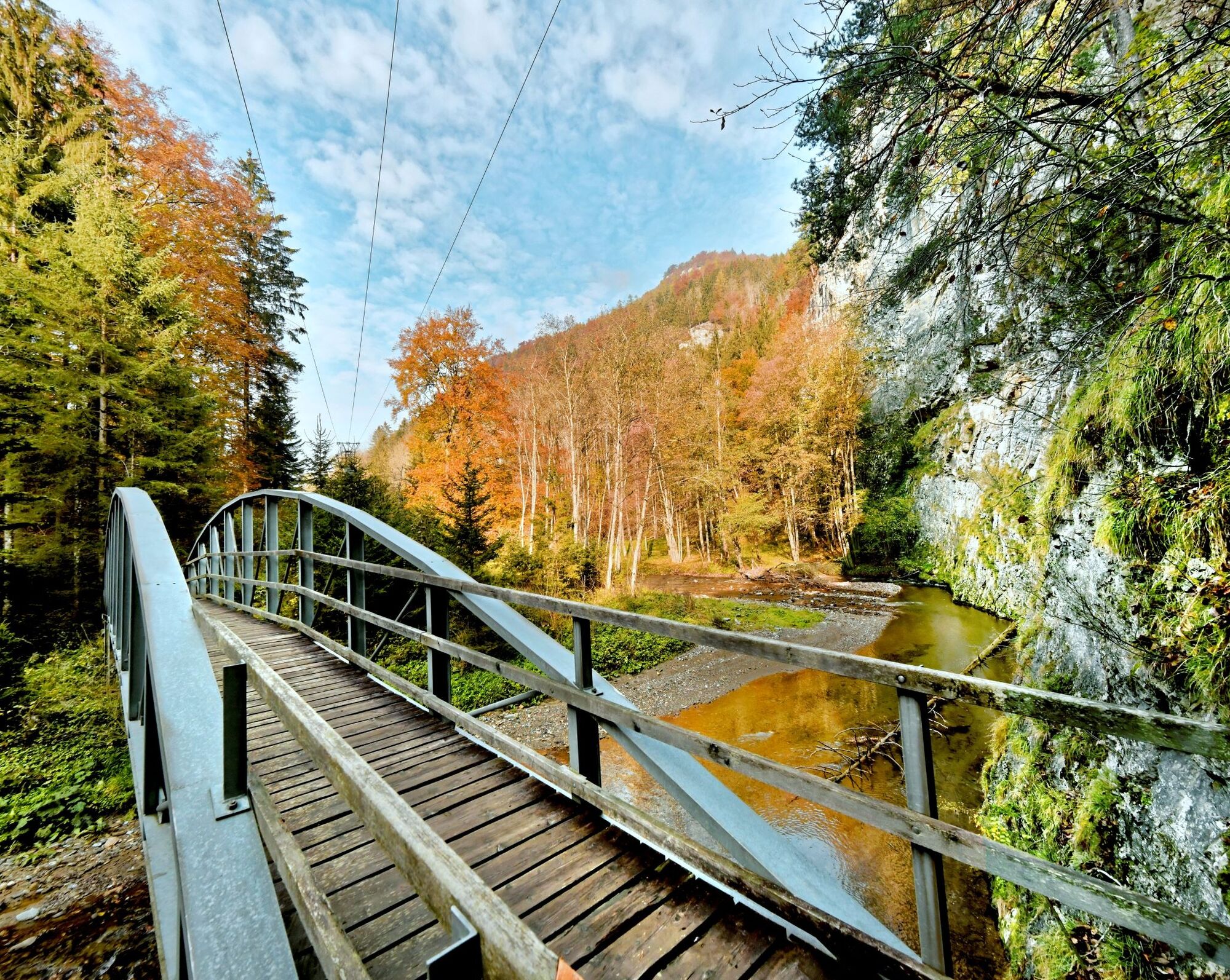
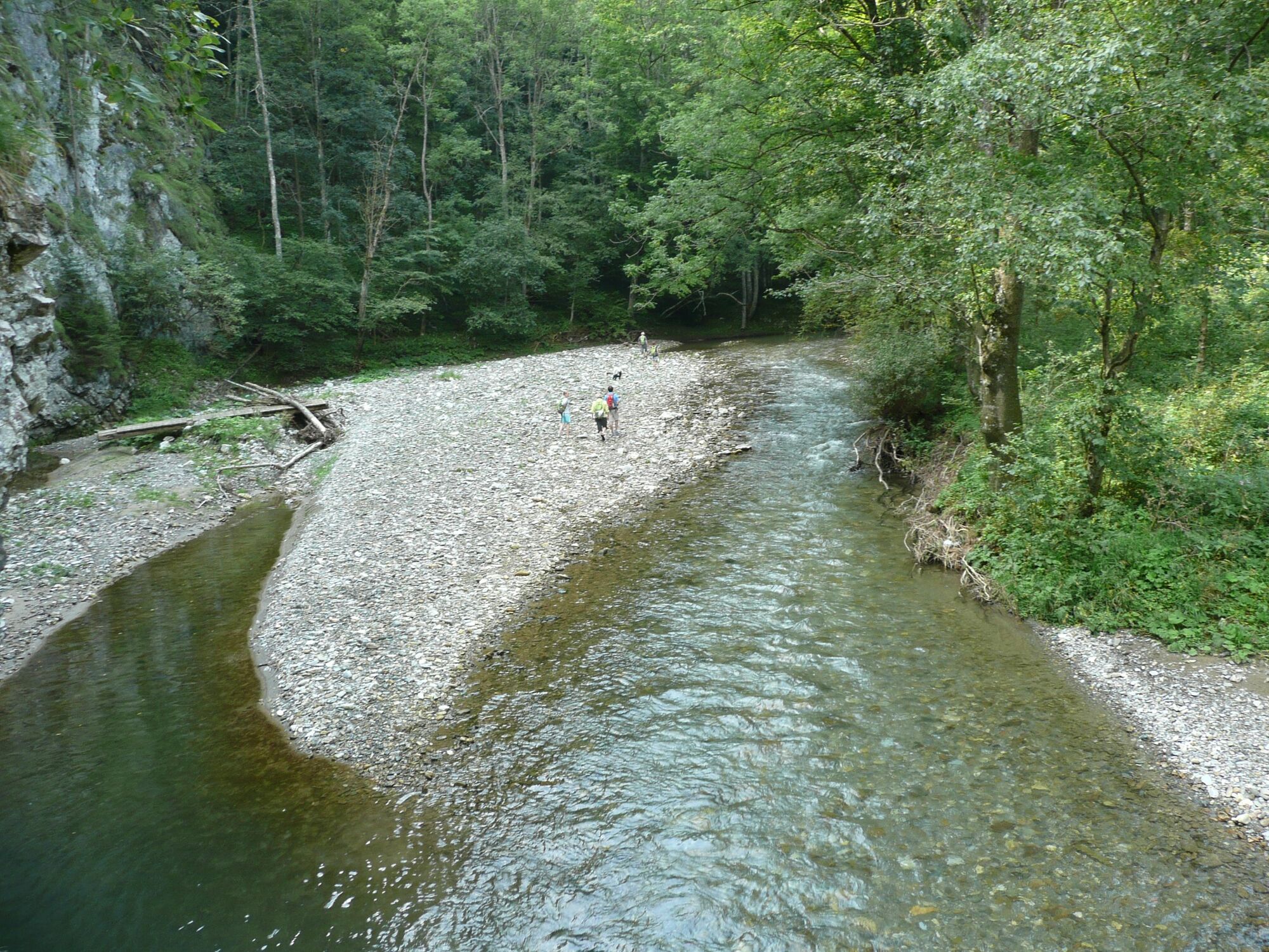
The starting & ending point of the circular hiking trail is the idyllic toen of Arzberg, which has a long mining tradition. Today it is known for its excursion destinations: the show mine in the old silver tunnel, the Almenland cheese tunnel and last but not least the Raab Gorge. The Raab rises in the middle of the nature park, at the foot of the Osser, flows 250 km through eastern Styria and Hungary until it flows into the Danube at Györ. Between Arzberg & Mortantsch it forms the "Great Raab Gorge", which is difficult to access and has therefore remained a true natural paradise.
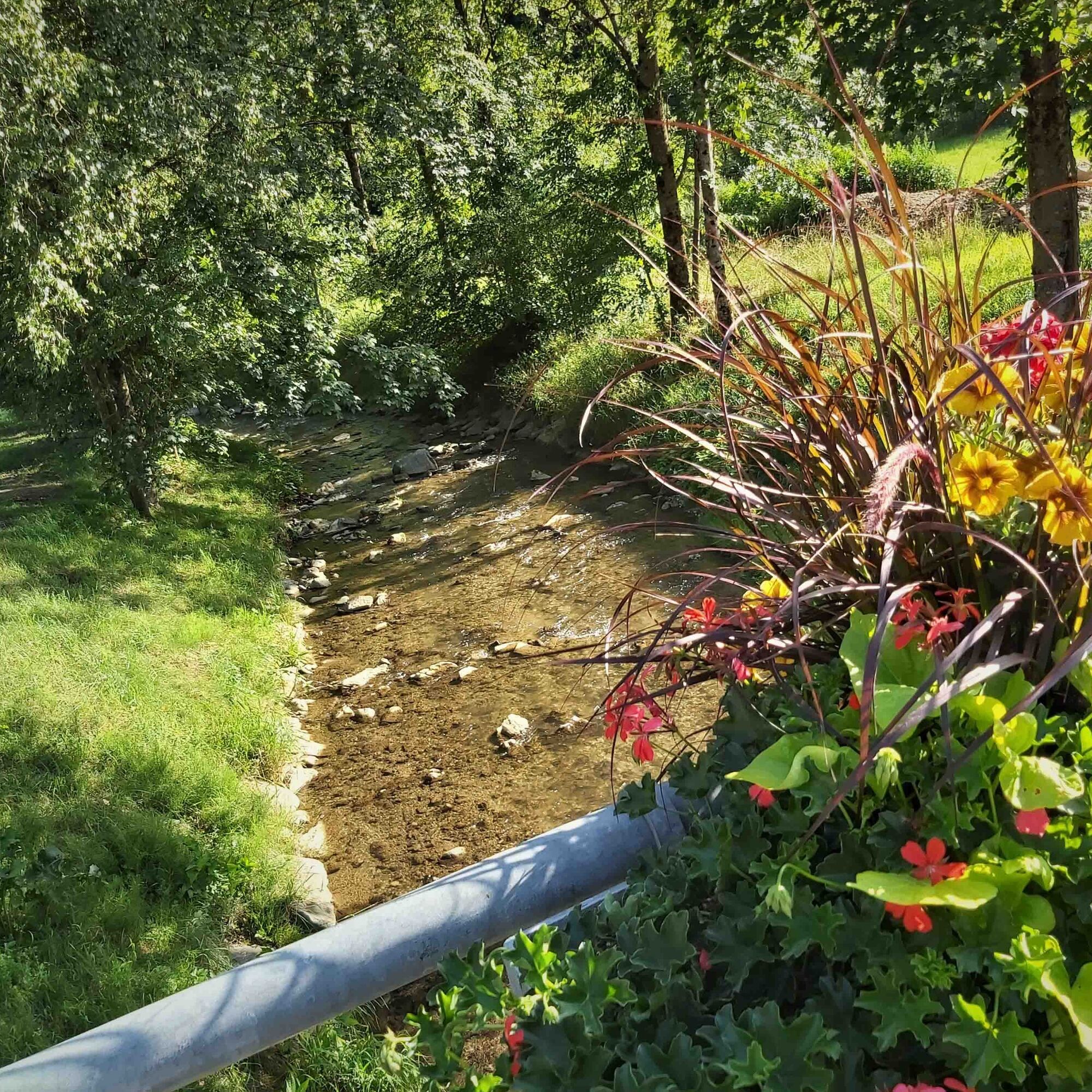
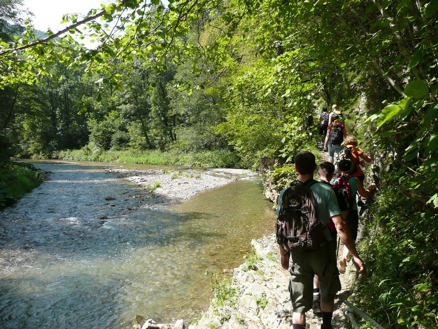
The path through the Raabklamm is suitable for the whole family: without any major ascents, the path leads directly along the Raab most of the time via paths and bridges. The river meadows alternate with rock faces and with a bit of luck you can see kingfishers, black storks and hoopoes. On hot summer days, the gravel banks are a popular place for a small picnic - including cooling off in the fresh, clear Raab water!
- Directions
-
ATTENTION: At the moment the "Gasthaus Zur Raabklamm" in Arzberg is closed, the same applies to the "Jägerwirt" in Mortantsch. This means that only the "Kirchenwirt" in Arzberg and the "Dürntalwirt"/GH Reisinger in Dürntal along the Raabklamm are open. Please plan accordingly and take drinks and provisions with you if necessary!
Gorge entrance in Arzberg:
Trail no. 765 always along the gorge (approx. 6.5 km) to the turnoff "Grillbichl". Trail no. 26 to the center of the small village Grillbichl, there via the- trail no. 27 and no. 16 back to the gorge Trail No. 765 along the gorge to the junction at the rest area with display board Trail no. 17 approx. 1 km steeply up to the "Gösserkreuz", if you want to take a break, you can go down to the right approx. 200 m to the Dürntalwirt Reisinger. Trail no. 764 along the municipal road up to the Gösser, after about 1.5 km leads the Way No. 764 left down through the forest back to Arzberg.Variant:
This tour out to Grillbichl and with the steep climb up to the Gösser already has a sporty character. If you are traveling with children, always follow the marked path along the Raab - as long as it pleases, and then go back along the Raab.
- Highest point
- 754 m
- Endpoint
-
Town Centre Arzberg
- Height profile
-

- Equipment
-
You need good shoes, please take food with you, there is no supply possibility in the gorge.
- Safety instructions
- Tips
-
In Arzberg, two excursion destinations await interested visitors: the silver show mine and the Almenland Stollen Cheese.
- Additional information
-
Further information on the Raabklamm gorge at www.raabklamm.at
Accompanying book "Nature and hiking experience Raabklamm".
The book is available at bookstores in Weiz, Graz, Gleisdorf, Hartberg, Feldbach and at the tourism associations Almenland and Weiz, as well as at the Raabklamm innkeepers and Raabklamm communities Arzberg, Gutenberg, Mitterdorf, Mortantsch and Naas.An order is also possible on the website of the Raabklamm. - Directions
-
from the west and south: via the Pyrhn-Autobahn A 9 or the S 6, then via the S 35 to Frohnleiten and the Rechberg-Bundesstraße B 64 approx. 20 km in the direction of Weiz to the turn-off to Arzberg
from the north and east: via the A2 southern freeway to Gleisdorf, then the Rechberg-Bundesstraße B 64 to Passail, directly in the village turn left into the "Untergasse", after approx. 4 km you will reach the center of Arzberg.
All information about the journey
To Google Maps for the calculation of the journey. - Public transportation
- Parking
-
Sufficient parking spaces directly in the center of the village at the church or at the entrance to the gorge.
-

-
AuthorThe tour Great Raab - Round Trip is used by outdooractive.com provided.
Wem die Tour nicht genug Herausforderung ist, der geht über den Gösser retour!


General info
-
Erlebnisregion Graz
2783
-
Naturpark Almenland
1767
-
Gutenberg-Stenzengreith
519


