© Herbert Podbressnik
Tour data
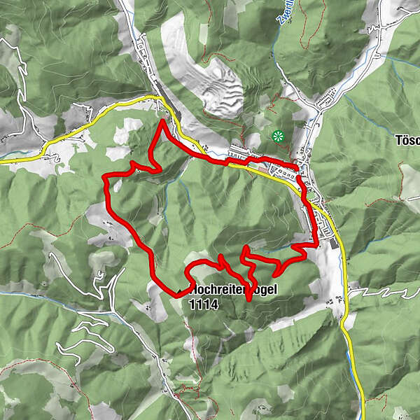
10.56km
661
- 1,102m
458hm
04:30h
- Brief description
-
gemütliche Rundwanderung über den Hochreiter zum Zöscher Kreuz
- Difficulty
-
medium
- Rating
-
- Starting point
-
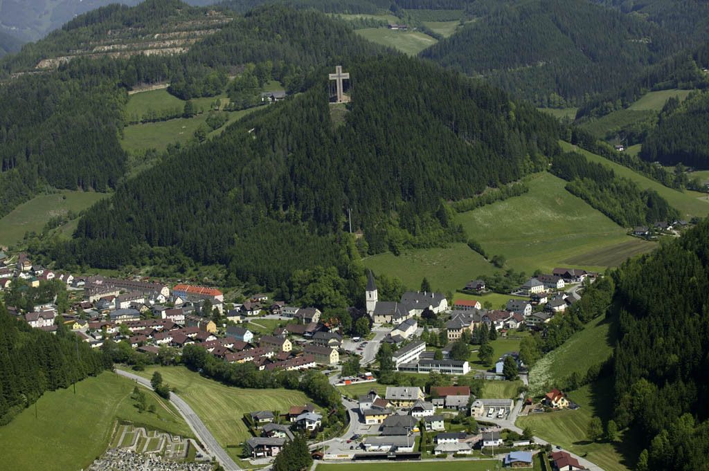
Feuerwehrplatz in Dorf- Veitsch
- Route
-
Veitsch0.1 kmVeitschtalwirt0.2 kmHochreiterkogel (1,114 m)5.1 kmKirche Veitsch10.5 kmVeitsch10.5 km
- Best season
-
JanFebMarAprMayJunJulAugSepOctNovDec
- Highest point
- 1,102 m
- Rest/Retreat
-
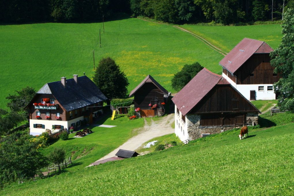
nur in Dorf-Veitsch (eventuell beim Gehöft Hochreiter)
GPS Downloads


Trail conditions
Asphalt
Gravel
Meadow
Forest
Rock
Exposed
Other tours in the regions


")