
Tour data
12.2km
1,061
- 2,218m
1,251hm
1,251hm
06:00h
- Rating
-
- Starting point
-
Volksschule
- Route
-
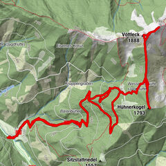
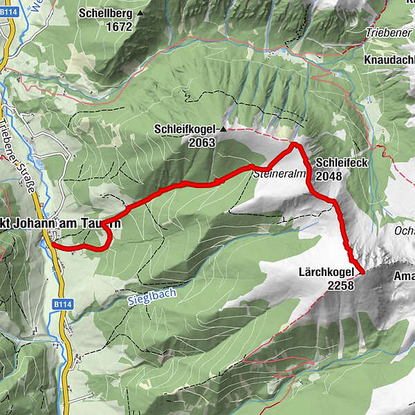
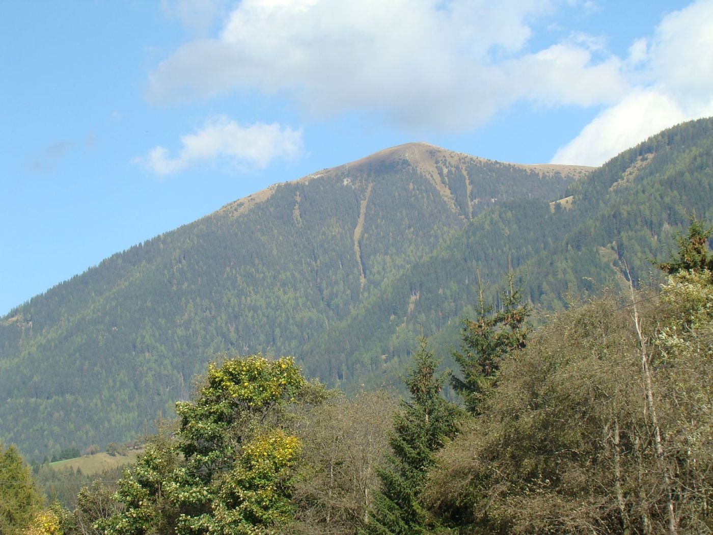
Sankt Johann am TauernSchleifeck (2,048 m)4.3 kmLärchkogel (2,258 m)6.1 km
- Highest point
- 2,218 m
- Rest/Retreat
-
GH Kirchenwirt
- Ticket material
-
Wanderkarte Pölstal: Tourismusverband Pölstal, Gemeindeamt St. Johann am Tauern, Kaufhaus St. Johann
GPS Downloads


Trail conditions
Asphalt
Gravel
Meadow
Forest
Rock
Exposed
Other tours in the regions
-
Erlebnisregion Murtal
1783
-
Hohentauern
212