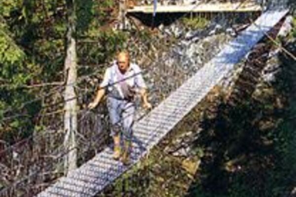
- Brief description
-
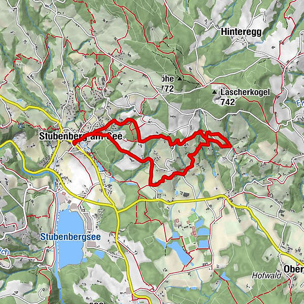
A culinary hike in Stubenberg am See. Along this path are Buschenschänken that invite you to linger.
- Difficulty
-
easy
- Rating
-
- Starting point
-
Village square Stubenberg
- Route
-
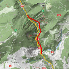
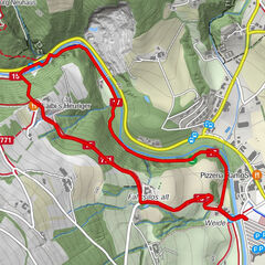
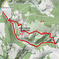
Pfarrkirche hl. Nikolaus0.1 kmStubenberg am See0.2 kmObsthof Jandl3.4 kmVockenberg4.2 kmBuschenschank Haider5.7 kmHofbrauerei Moarpeter6.1 kmStubenberg am See7.6 kmPfarrkirche hl. Nikolaus7.7 km
- Best season
-
JanFebMarAprMayJunJulAugSepOctNovDec
- Description
-
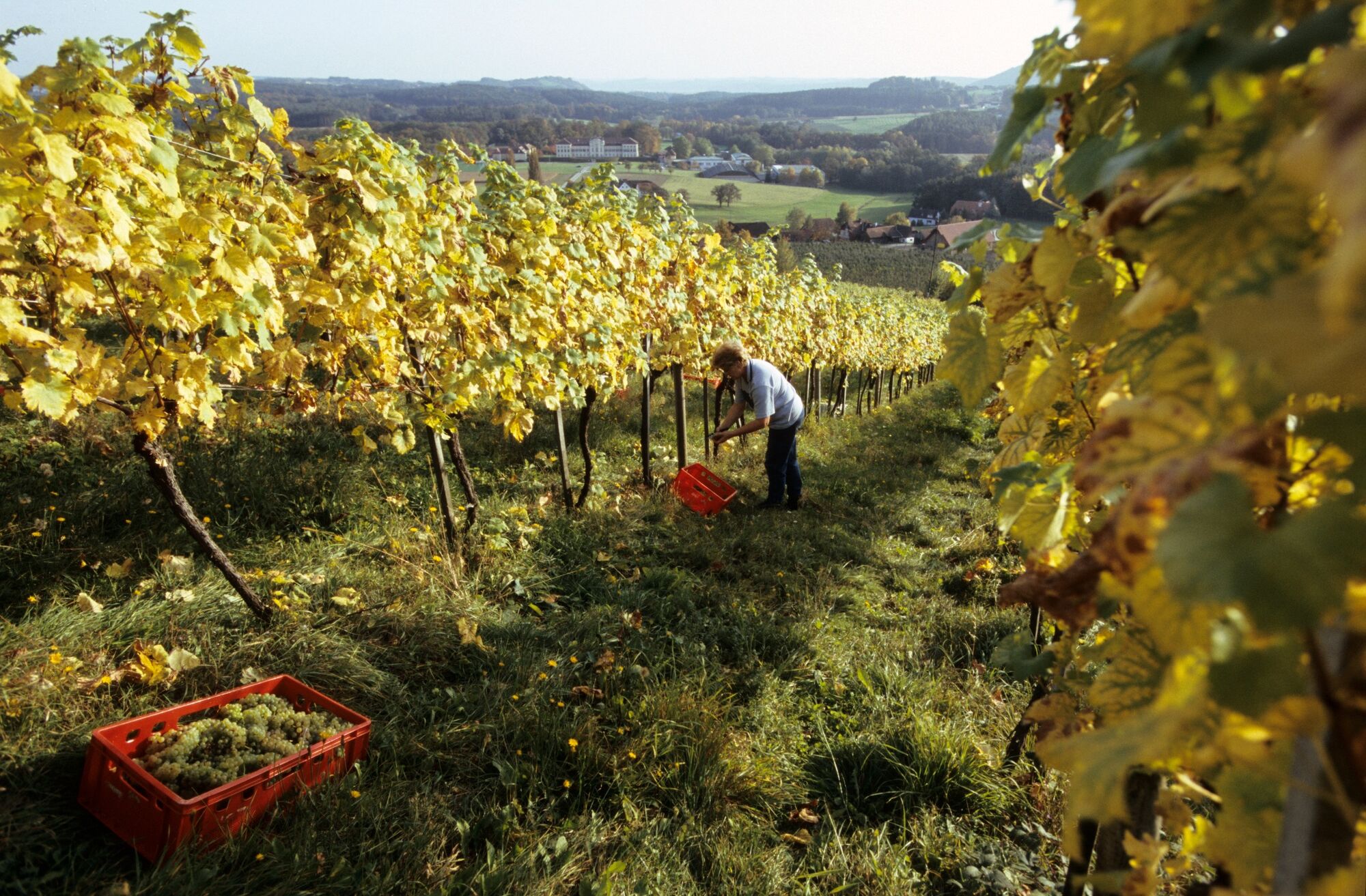
The pleasant circular trail through vineyards and orchards starts in Stubenberg at the main square. The route is marked as a circular path and is about 7.8 kilometers long. Right through the idyllic nature of the ApfelLandes-Stubenbergsee in eastern Styria. Always included is the unique landscape and the magnificent views.
Delicious "Brettljausn" with homemade products strengthen the small and large hiker. The Buschenschankweg is marked with the number 10.
- Directions
-
The path, starts in the center of Stubenberg. From the main square you walk to the Buschenschank Hofertoni and then turn right into a side street. After about 500 m it slowly climbs and leads you through a beautiful forest landscape. You cross two small ditches and reach the Jandl fruit farm. From here on, the trail goes steadily downhill and you pass the Altschielleiten ruins and then the Buschenschank Haider. After a few meters, the next refreshment stop awaits you, the "Moarpeter". From here it is an easy walk back to the starting point Stubenberg.
- Highest point
- 588 m
- Endpoint
-
Village square Stubenberg
- Height profile
-

- Equipment
-
Small rucksack with water bottle (+ provisions)Sturdy shoesAppropriate clothing - preferably several layers - "onion principle"Rain and sun protectionHiking poles as requiredMobile phoneSmall first aid kitRoute description Before starting the hike, check where you can stop for refreshments, including opening times, or pack appropriate provisions
- Safety instructions
-
Important telephone numbers:
Euronotruf: 112
Emergency call mountain rescue: 140 (if possible please give GPS data)
Rescue: 144
Fire department: 122
Police 133
Here you will find the rules of conduct for "Safe handling of grazing livestock" and "Safety on the mountain".
A few tips for correct and fair behavior in the forest:
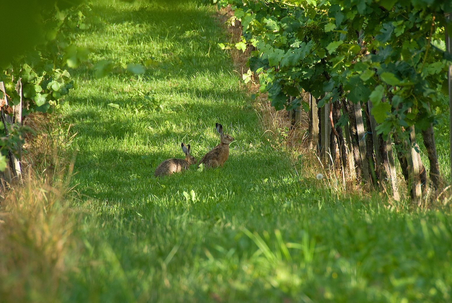
Hikers should avoid visits to the forest about 1.5 hours before sunrise and after sunset, as wildlife is particularly active during this time. Plastic bottles, handkerchiefs, cigarette butts & Co have no place in the forest! Please make sure that you do not leave any trash in the forest. Camping and making fire - is strictly forbidden in the forest! Basically, each person is allowed to collect 2 kg of mushrooms and berries per day in the forest for personal use. It is only forbidden if the forest owner expressly prohibits it. - Tips
-
We recommend you:
Take your time and enjoy the delicacies from ApfelLand Stubenbergsee
- Additional information
- Directions
-
ApfelLand is located in the heart of Eastern Styria, about 60 km northeast of Graz and about 140 km south of Vienna.
By car:
Coming from Vienna:Via the Südautobahn (A2) to the Hartberg exit - via Bundesstraße (B54) in the direction of Graz - 2 km after Kaindorf in the direction of Graz, turn off in the direction of ApfelLand-Stubenbergsee- Stubenbergsee.
Coming from Salzburg/Germany:
Freeway via Salzburg - Pyhrnautobahn (A9) to Graz - continue via Südautobahn in the direction of Vienna (A2) to the Gleisdorf West exit - federal road (B54) to Kaibing - ApfelLand-Stubenbergsee- Stubenbergsee.
- Public transportation
- Parking


-

-
AuthorThe tour Short wine tavern tour, Stubenberg is used by outdooractive.com provided.


General info
-
Oststeiermark
2125
-
ApfelLand - Stubenbergsee
1141
-
Stubenberg am See
321