
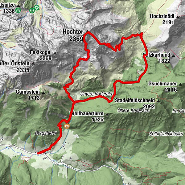
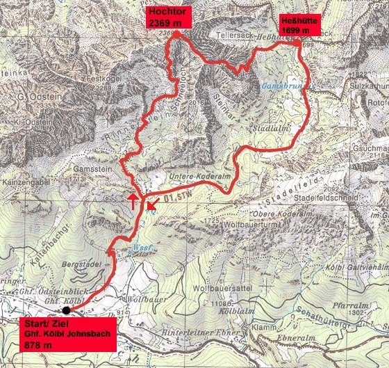
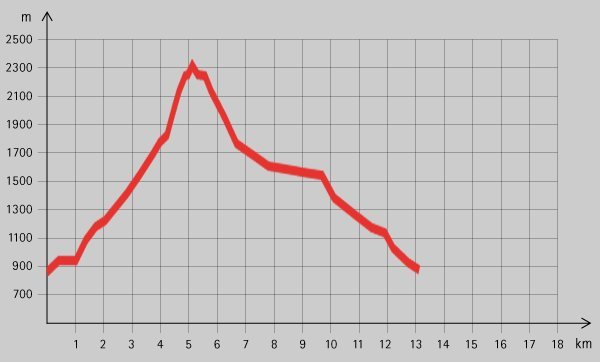
Tour data
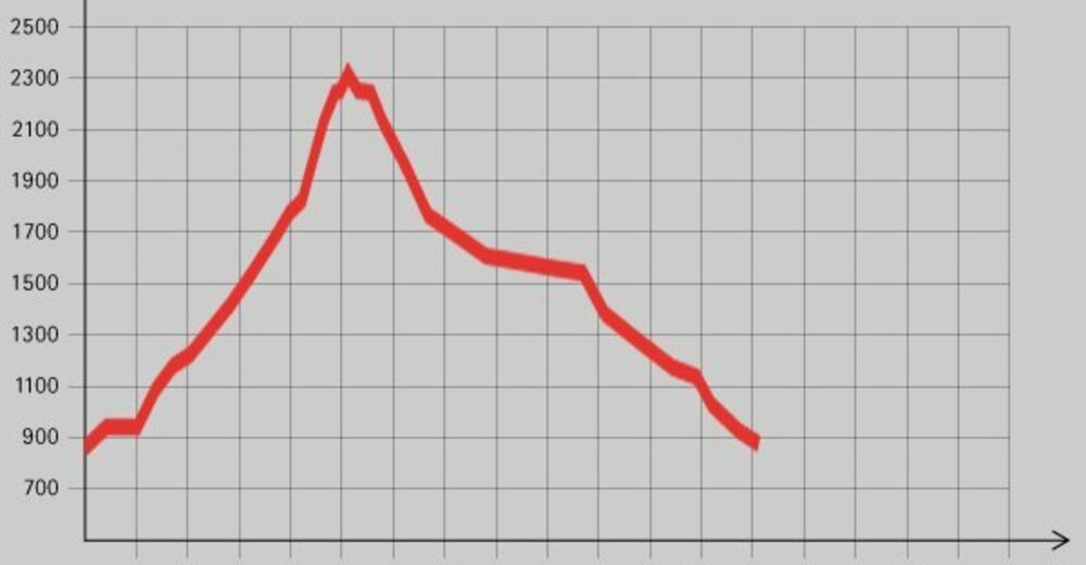
13.4km
867
- 2,319m
1,420hm
07:00h
- Brief description
-
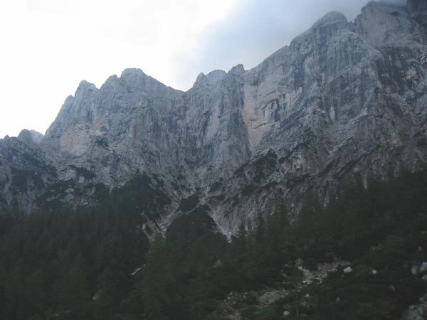
Sportliche Tour auf einen der beeindruckendsten Gipfel des Gesäuses.
- Rating
-
- Starting point
-
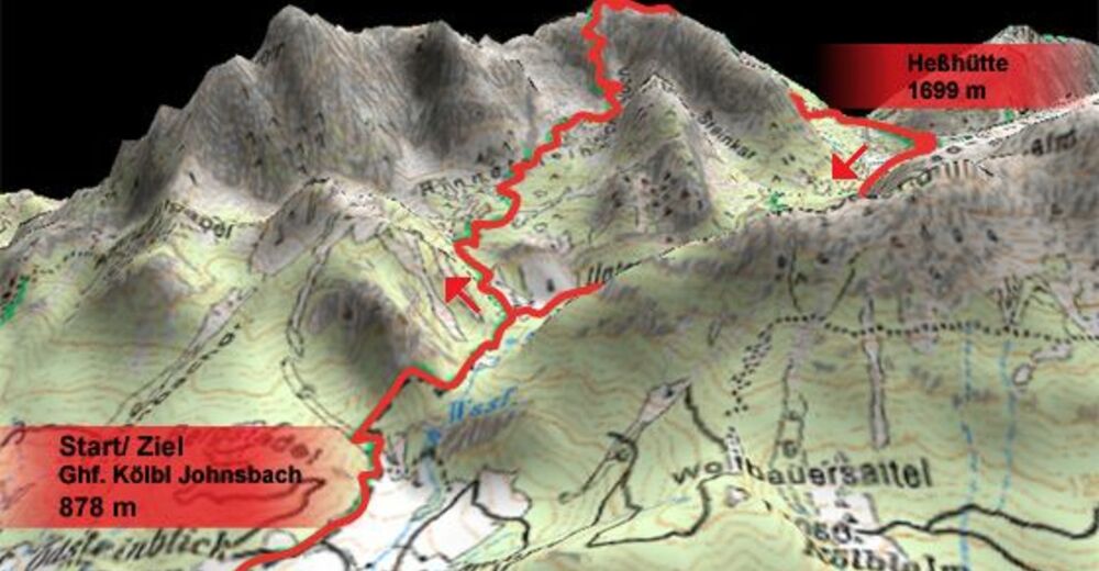
Johnsbach (878 m, Gasthof Kölbl)
- Route
-
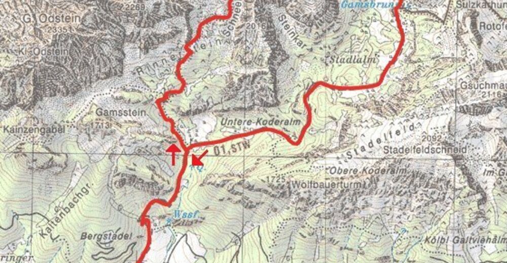
KölblwirtWolfbauer Wasserfall1.4 kmGamsbrunnen5.3 kmHesshütte6.0 kmGugl (2,301 m)7.9 kmHochtor (2,369 m)8.2 kmHaindlkarwand (2,319 m)8.4 kmSchneeloch9.1 kmWolfbauer Wasserfall11.8 kmKölblwirt13.3 km
- Highest point
- 2,319 m
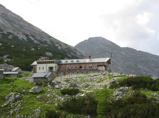
- Rest/Retreat
-
Hesshütte (1699 m)
- Ticket material

GPS Downloads


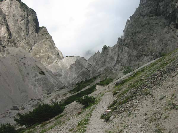
Trail conditions
Asphalt
Gravel
Meadow
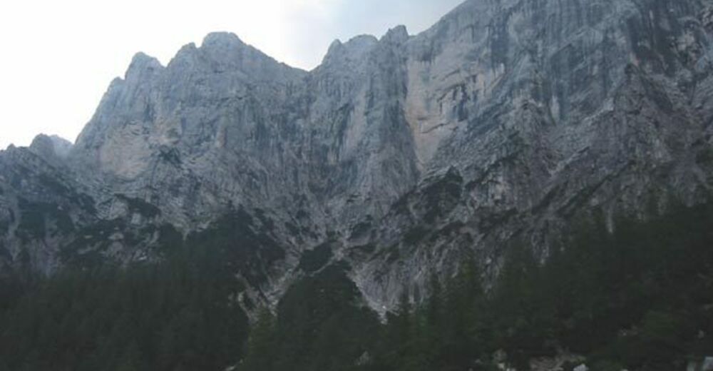
Forest
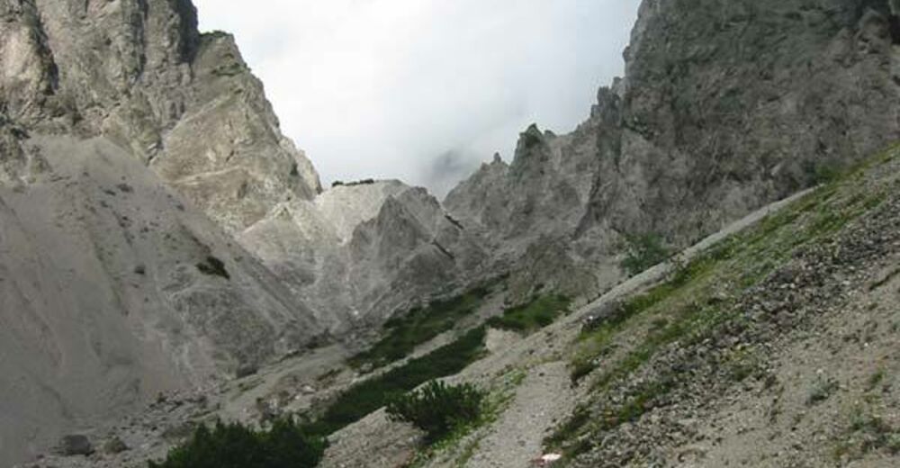
Rock
Exposed