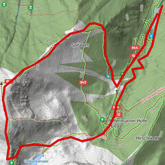
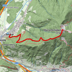
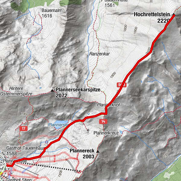
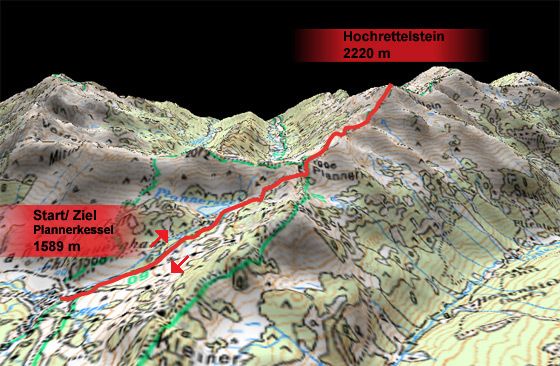
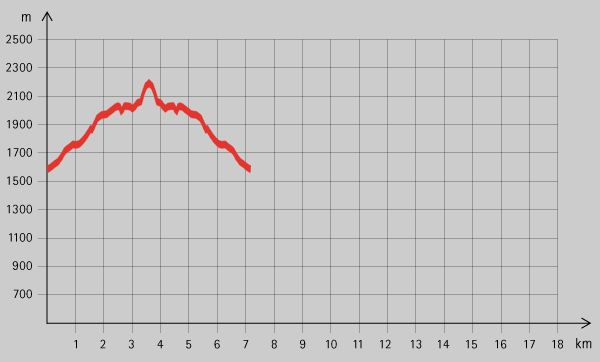
Tour data
6.9km
1,599
- 2,194m
598hm
04:00h
- Brief description
-
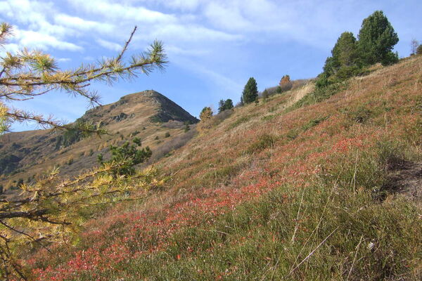
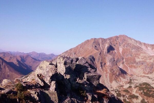
Schöne Tour in den Rottenmanner Tauern
- Rating
-
- Starting point
-
Plannerkessel (1589 m
- Route
-
Hochrettelstein (2,220 m)3.4 km
- Highest point
- 2,194 m
- Rest/Retreat
-
Gasthof Tauernhaus
- Ticket material

GPS Downloads


Trail conditions
Asphalt
Gravel
Meadow
Forest
Rock
Exposed
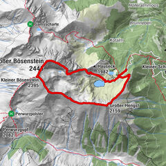
Other tours in the regions