- Brief description
-
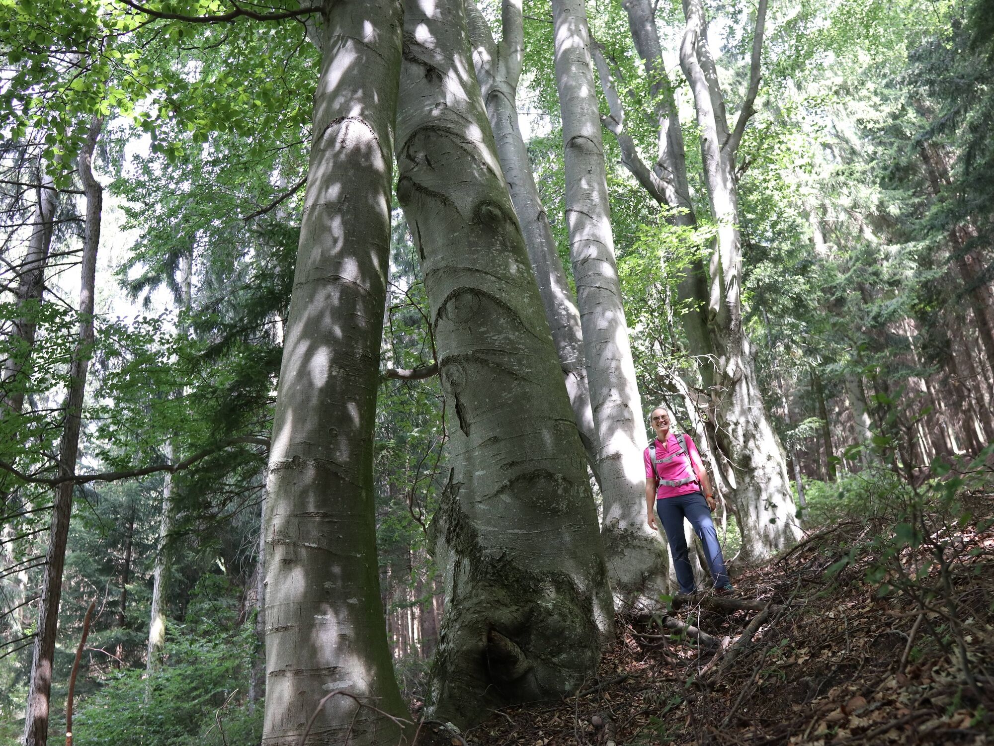
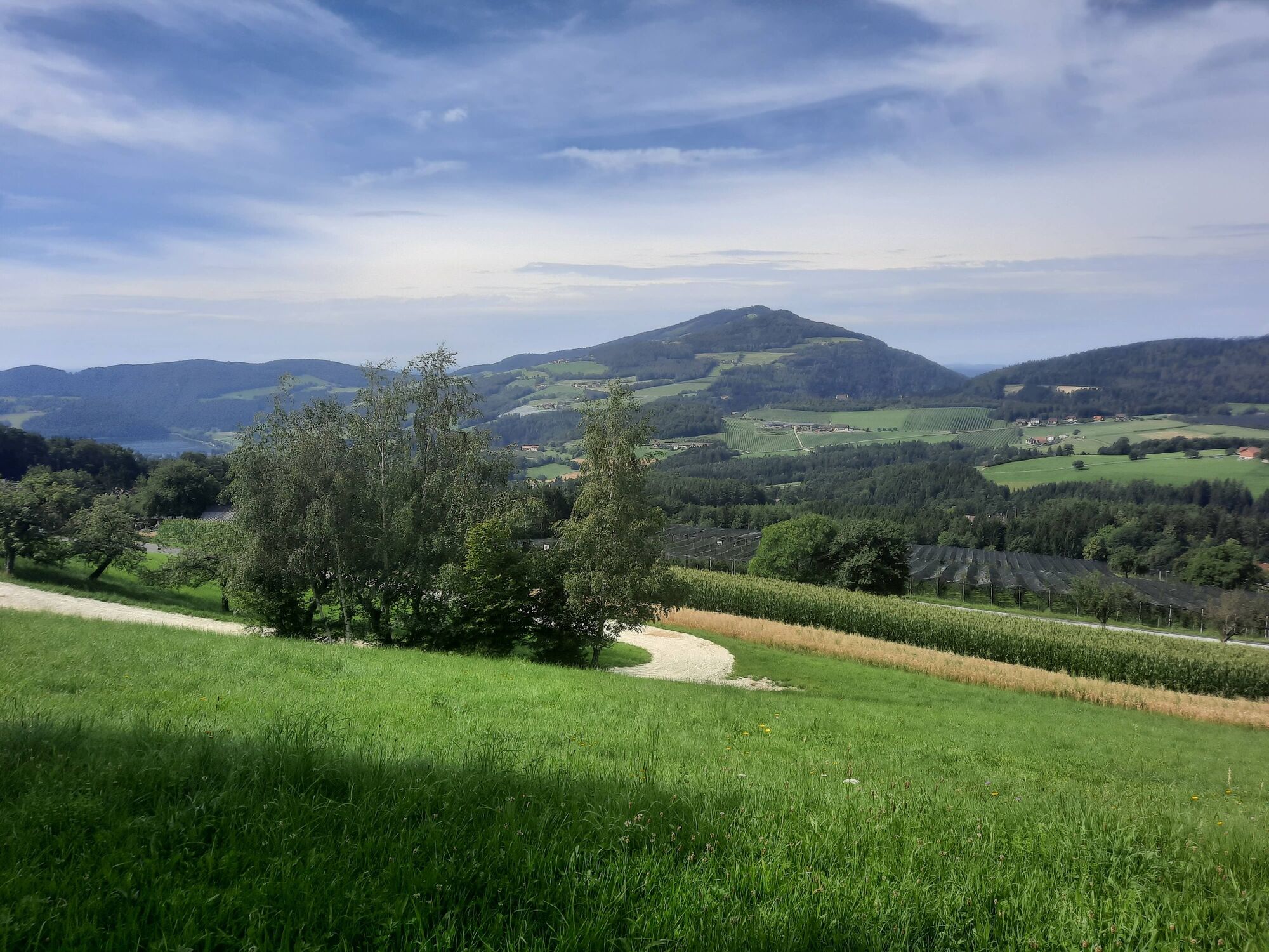
Through beech forests in the beautiful ApfelLand-Stubenbergsee in eastern Styria, this hike takes you to the Buchkogel. At the summit, a particularly beautiful view of Lake Stubenberg awaits you.
- Difficulty
-
easy
- Rating
-
- Starting point
-
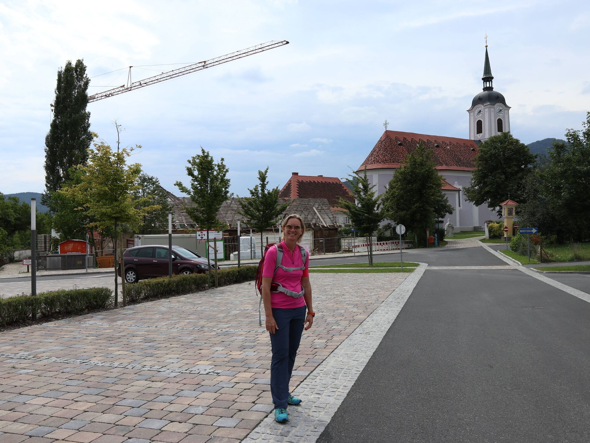
Bed and Breakfast - Restaurant Stelzer-Lex
- Route
-
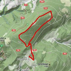
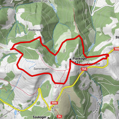
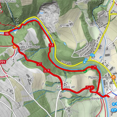
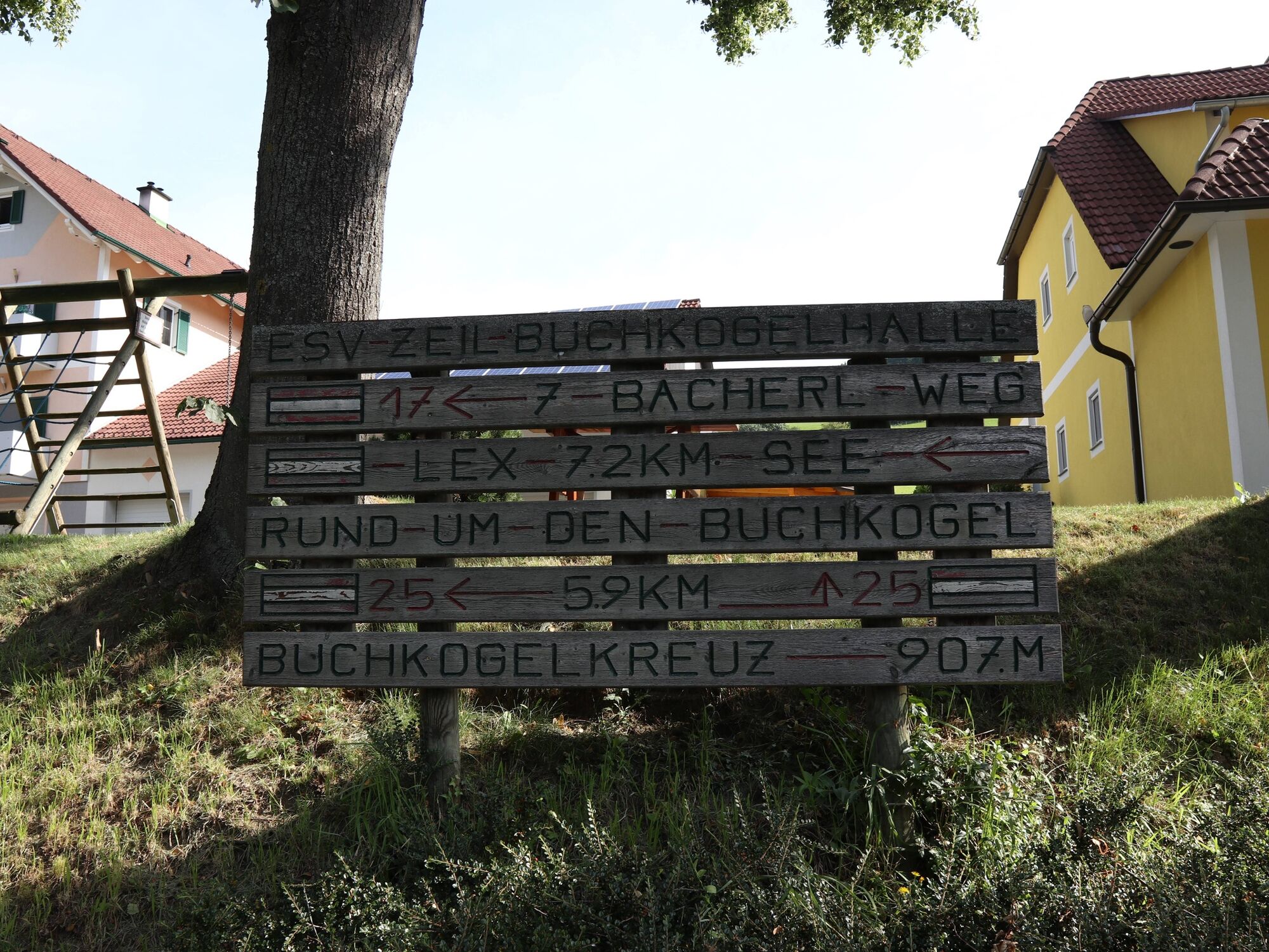
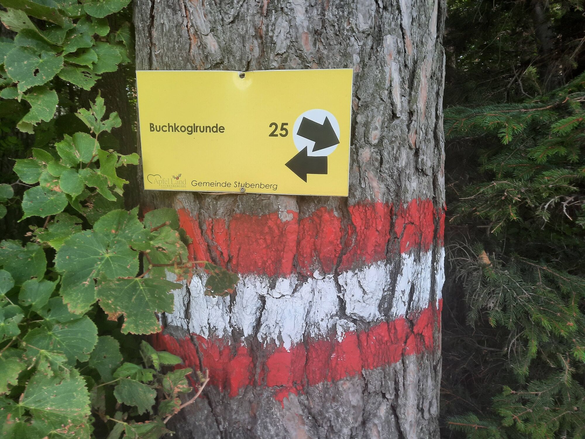
Zeil bei StubenbergGasthof Cafe Lex0.0 kmBuchkogel (907 m)1.9 kmGasthof Cafe Lex5.1 kmZeil bei Stubenberg5.1 km
- Best season
-
JanFebMarAprMayJunJulAugSepOctNovDec
- Description
-
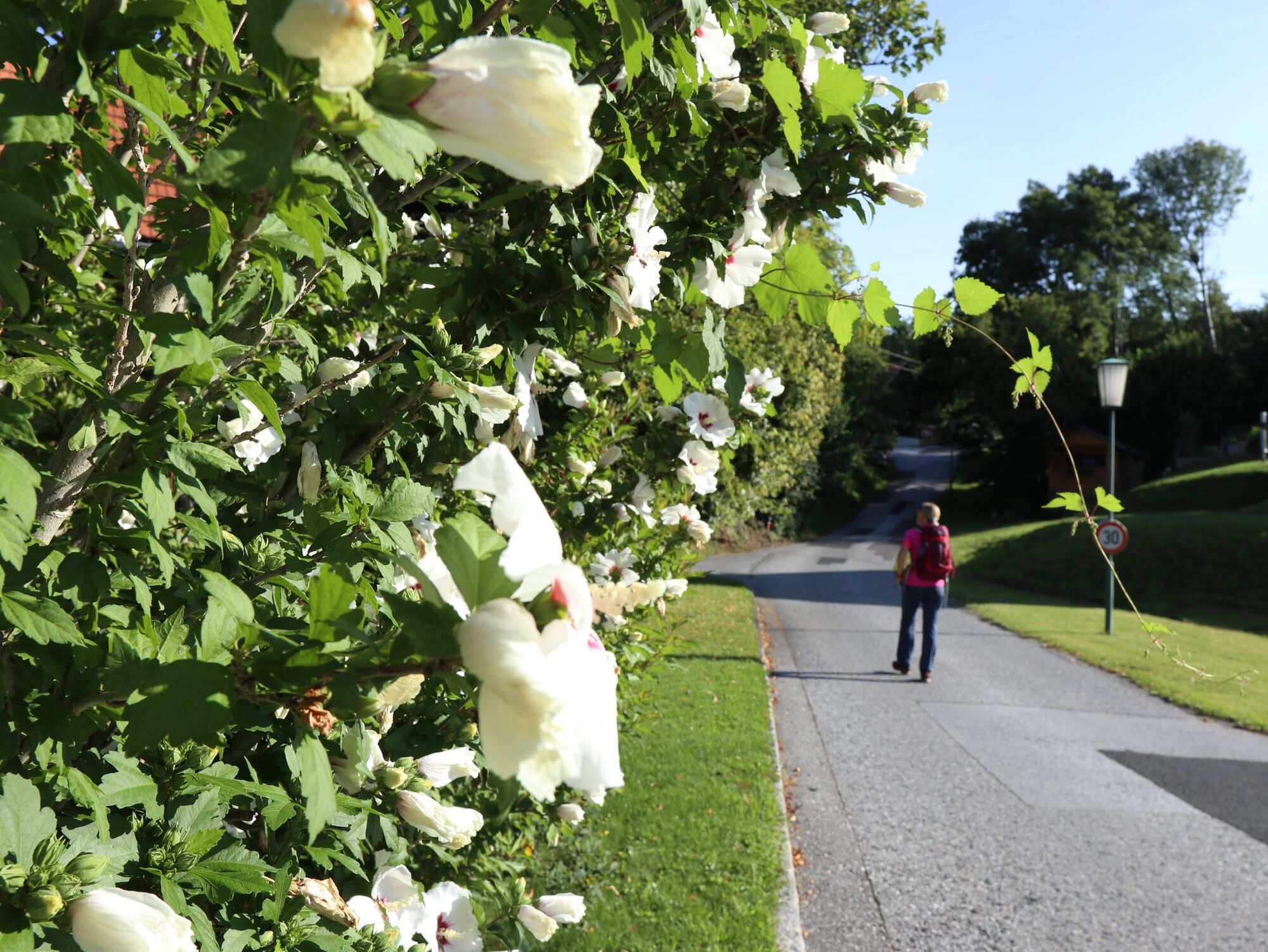
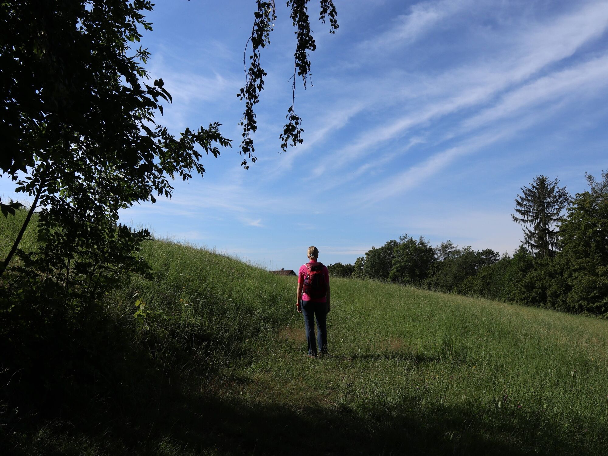
A beautiful hike that takes us to the Buchkogel. We start at the breakfast pub Stelzer Lex in Zeil near Stubenberg.
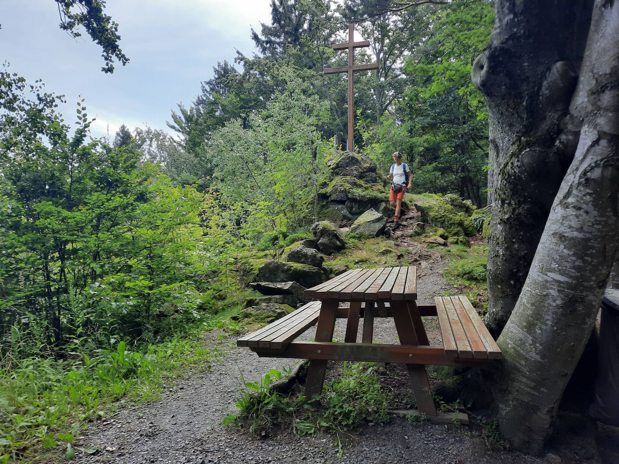
The hike begins with a moderate ascent to the lower Wetterkreuz, from now on it climbs steadily uphill until you reach the back of the Buchkogelzug. After a short steep climb on a narrow path along the ridge, you will reach the summit of the Buchkogel. Here you will be rewarded for the effort with a magnificent view.
- Directions
-
The hike on the Buchkogel starts at the Stelzer-Lex bed and breakfast. It begins with a moderate ascent to the lower Wetterkreuz.
There the trail leads into the forest and climbs through woods to the ridge of the Buchkogel mountain. After a short steep climb on a narrow path along the ridge, you will reach the summit of the Buchkogel. Here you will be rewarded for the effort with a magnificent view.
The descent first leads through mixed forests again to a crossroads, from the Gaber homestead it goes steeply downhill on a side road, before crossing another short stretch of forest.
Below the forest, the trail leads you past meadows to a side road, which you follow parallel to the slope until you reach the Stelzer-Lex inn.
- Highest point
- 905 m
- Endpoint
-
Bed and Breakfast - Restaurant Stelzer-Lex
- Height profile
-

- Equipment
-
Small rucksack with water bottle (+ provisions)Sturdy footwearAppropriate clothing - preferably several layers - "onion principle"Rain and sun protectionHiking poles as requiredMobile phoneSmall first aid kitRoute descriptionBefore starting the hike, check where you can stop for refreshments, including opening times, or pack suitable provisions.
- Safety instructions
-
Important telephone numbers:
Euronotruf: 112
Emergency call mountain rescue: 140 (if possible please give GPS data)
Rescue: 144
Fire department: 122
Police 133
Tips for even more hiking fun: Rules of behaviour when hiking
A few tips for correct and fair behavior in the forest: (Source: www.bundesforste.at)
Hikers should avoid visits to the forest about 1.5 hours before sunrise and after sunset, as wildlife is particularly active during this time.Plastic bottles, handkerchiefs, cigarette butts & Co have no place in the forest! Please make sure that you do not leave any trash in the forest.Camping and making fire - is strictly forbidden in the forest!Basically, each person is allowed to collect 2 kg of mushrooms and berries per day in the forest for personal use. It is only forbidden if the forest owner expressly prohibits it.
- Tips
-
We recommend:
After the hike a jump into the cool water (in the summer months) in the Stubenbergsee just right!Enjoy at the end of the hike, one of the many culinary delights of the ApfelLand
- Additional information
-
Information about the region, places to stop for refreshments and overnight stays, excursion destinations, etc., you can find out:
Eastern Styria Tourist Board
Office ApfelLand-Stubenbergsee
8223 Stubenberg at the lake 5
- Parking

-

-
AuthorThe tour Buchkogel Round, Stubenberg is used by outdooractive.com provided.


General info
-
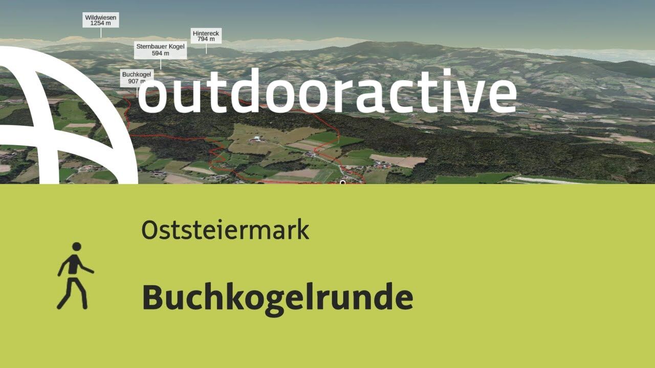
Oststeiermark
2126
-
ApfelLand - Stubenbergsee
1140
-
Stubenberg am See
321