
- Brief description
-
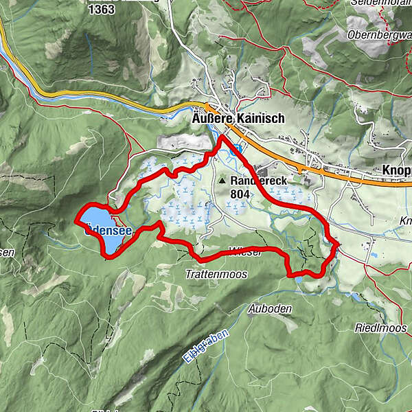
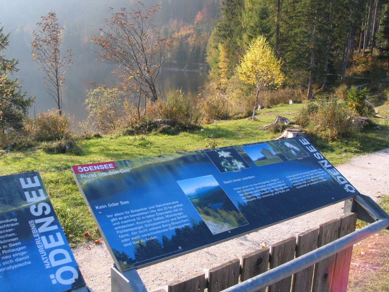
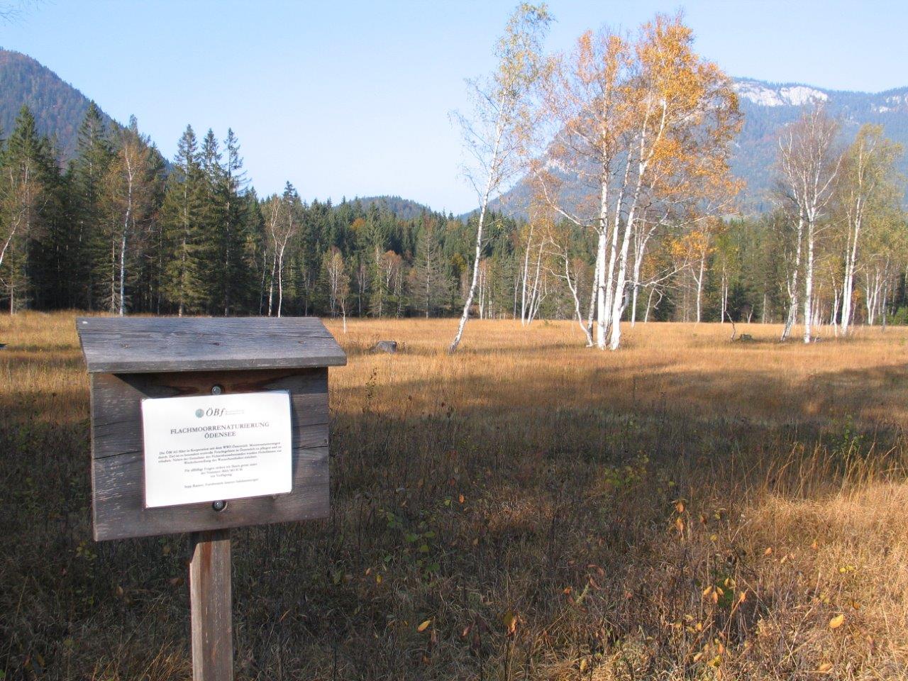
The lake Ödensee ist the heart of the area Pichl-Kainisch.
- Difficulty
-
easy
- Rating
-
- Starting point
-
"Mühlreith"
- Route
-
Mühlreith0.0 kmKohlröserlhütte5.1 kmÄußere Kainisch7.1 kmKainisch (768 m)7.4 kmMühlreith9.3 km
- Best season
-
JanFebMarAprMayJunJulAugSepOctNovDec
- Description
-
At Lake Öden and at the experience points Fish Farm Kainisch, Old Arm Riedlbach, High Peat Bog, Peat Pond, Karst Springs Strumern, Geology, Flowers, Forest and Water the visitor learns about the fascinating peculiarities at the respective locations.
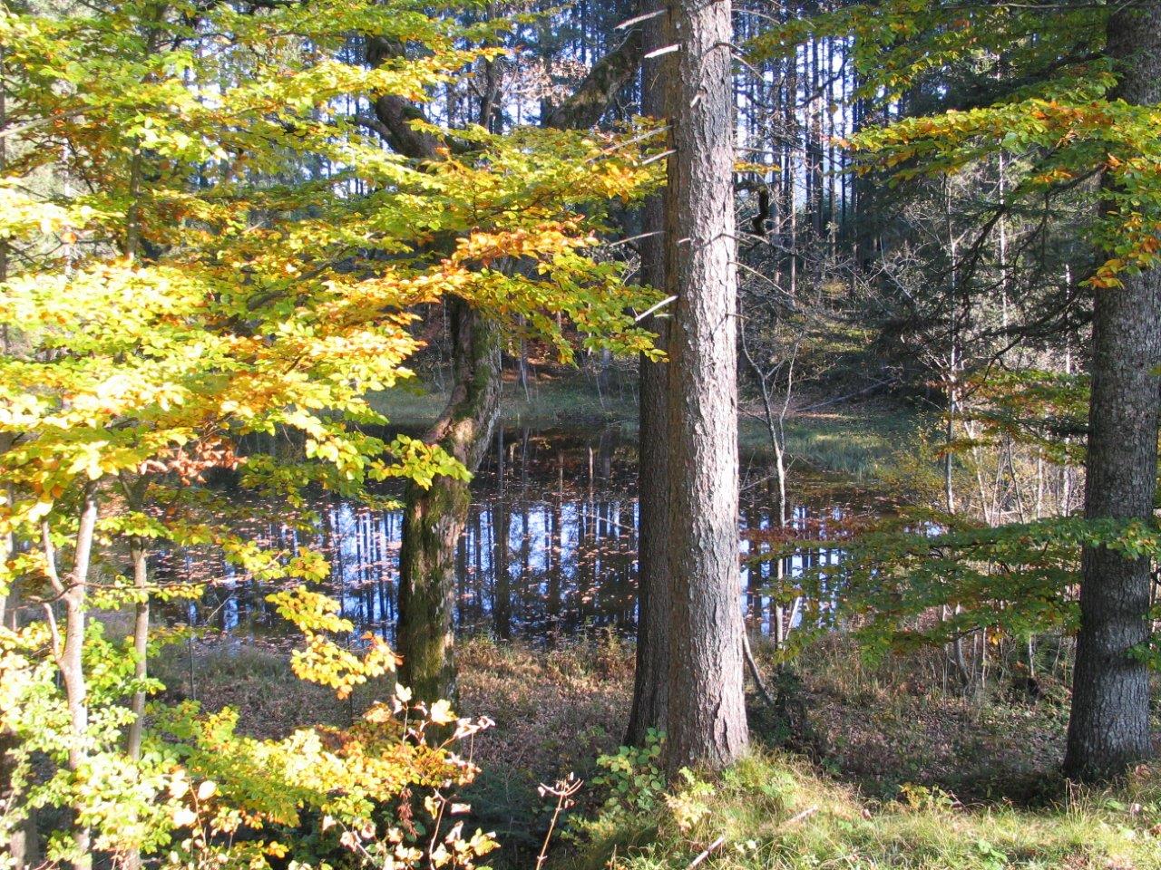
The original lake and river landscape is an Eldorado for botanists and biologists.
- Directions
-
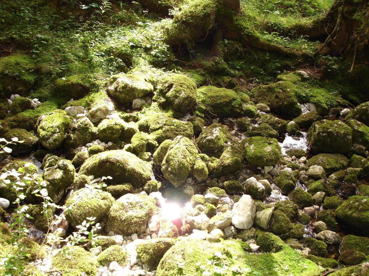
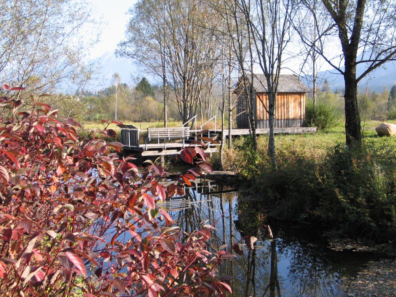
From the starting point follow the green signs. The path leads over a footbridge, then through forest terrain to the karst springs, which are only water-bearing during high or melting water. In the dry season they are easily recognizable by mossy stones in the course of the river.Then follow the signs through the forest, often crossing paths, until you reach Lake Öden. Walk around the lake clockwise until you reach the Kohlröserlhütte. After a leisurely stop, you hike comfortably past the "cold" and "warm" lake to Kainisch. After crossing the bridge, already on the asphalt road, you walk along the bike path to the right next to the railroad body back to the starting point.
- Highest point
- 835 m
- Endpoint
-
is the starting point
- Height profile
-

- Equipment
-
Proper backpacking makes many things easier:
pack heavy things first.
The water bottle should always be within easy reach in a side pocket.
All things that are often needed, such as sunglasses, camera or hiking map, belong on top.
An emergency kit including blister plaster belongs in every backpack and a clothing according to the "onion system" is always recommended! - Safety instructions
-
Emergency call mountain rescue: 140
Emergency reporting tip - provide answers to the six W questions:
What happened? How many injured? Where did the accident happen (possibly GPS coordinates)? Who is reporting (callback number)? When did the accident happen? Weather at the accident site? - Additional information
- Directions
- Public transportation
- Parking
- Author
-
The tour nature experience lake Ödensee is used by outdooractive.com provided.


General info
-
Ausseerland - Salzkammergut
3382
-
Gröbminger Land
1190
-
Grundlsee
242