- Brief description
-
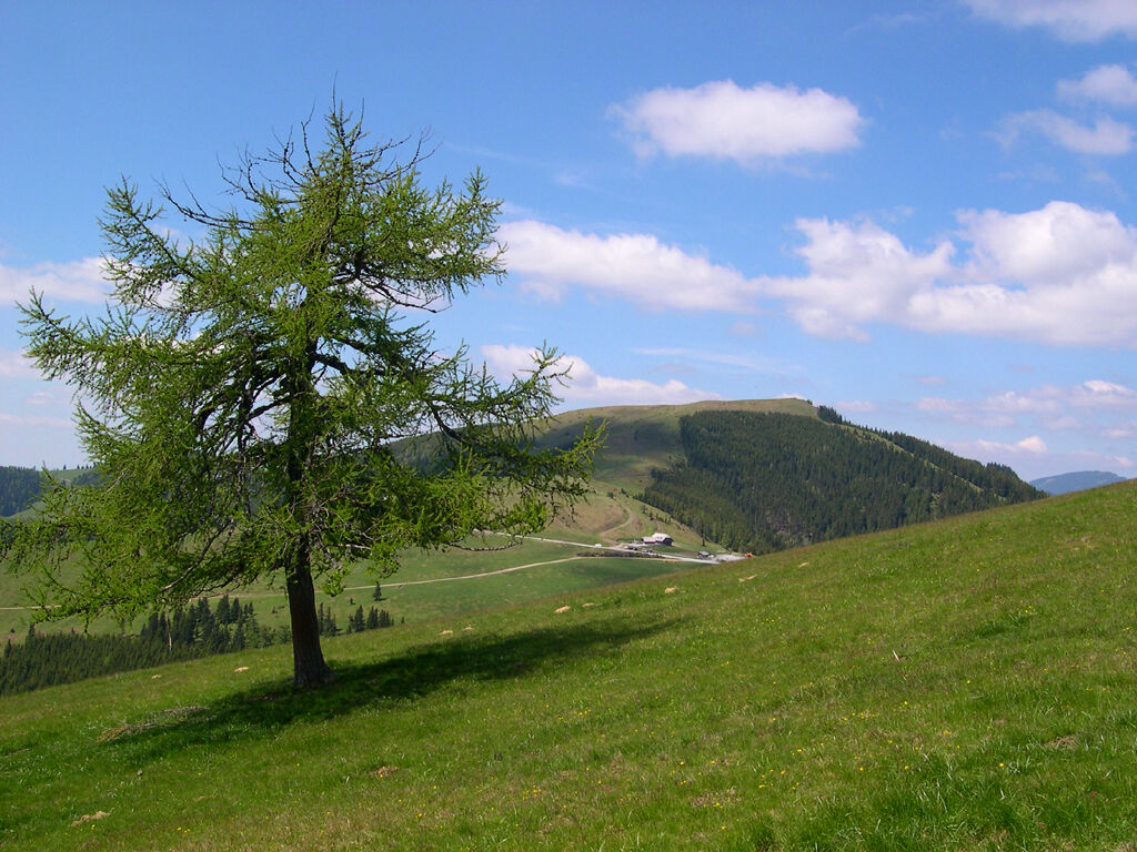
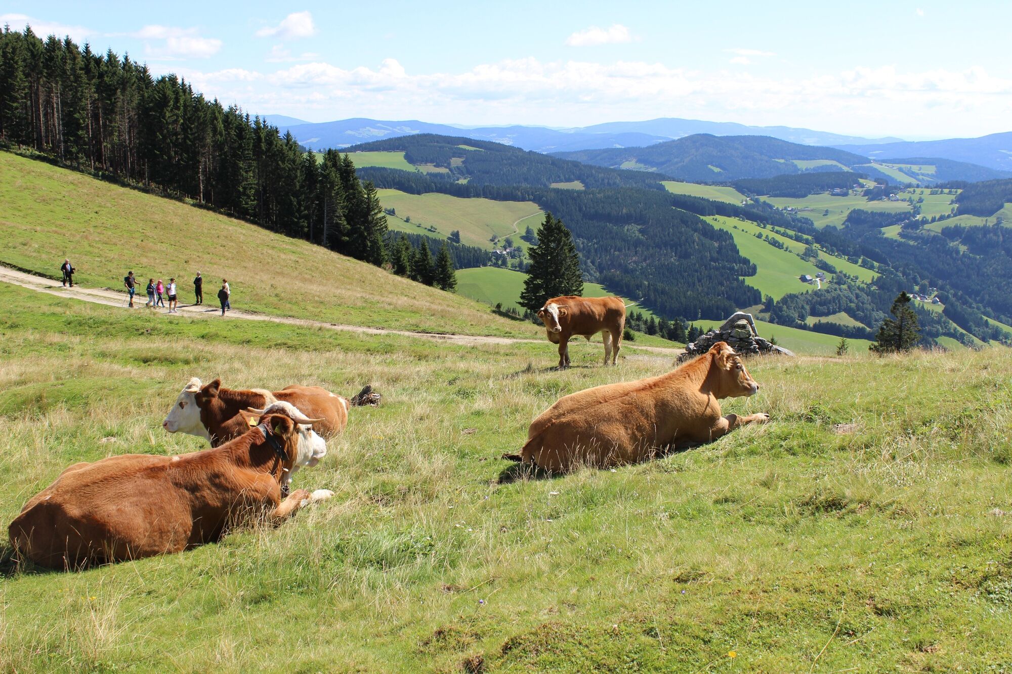
Probably the most beautiful alpine hike in the Almenland leads around the Sommeralm - always with a wide view and many opportunities to stop for a break!
- Difficulty
-
medium
- Rating
-
- Starting point
-
Stoakoglhütte, Sommeralm 122, 8172 Heilbrunn
- Route
-
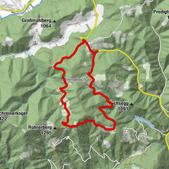
StoakoglhütteSommeralm (1,400 m)1.7 kmSommeralmkapelle1.8 kmSaukogel (1,437 m)2.0 kmHolzmeister6.3 kmPlankogel (1,531 m)11.6 kmStoakoglhütte12.5 km
- Best season
-
JanFebMarAprMayJunJulAugSepOctNovDec
- Description
-
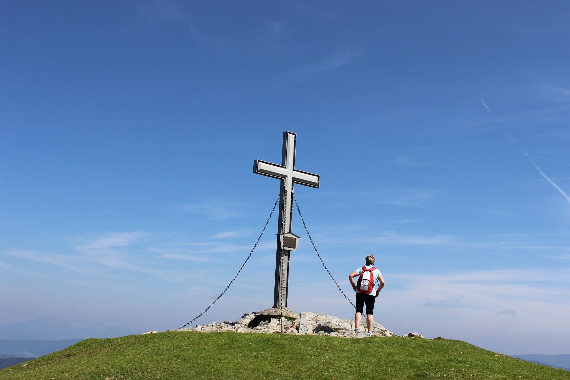
One of the most beautiful hiking trails in the Almenland Nature Park! Without major climbs it goes from alp to alp - always with a great view out into the country. "Highlight" in the truest sense of the word is the Plankogel summit with a 360-degree all-round view!
Along the route there are several inns that invite you to stop for a bite to eat with their specialties, especially the good beef from the ALMO ox!
The starting point is the popular Stoakoglhütte on the Sommeralm, which is located in the middle of the alpine pasture area, but is still easily accessible via the Sommeralmstraße.
- Directions
-
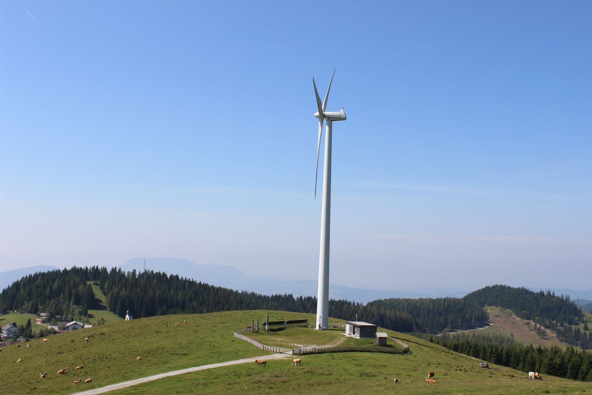
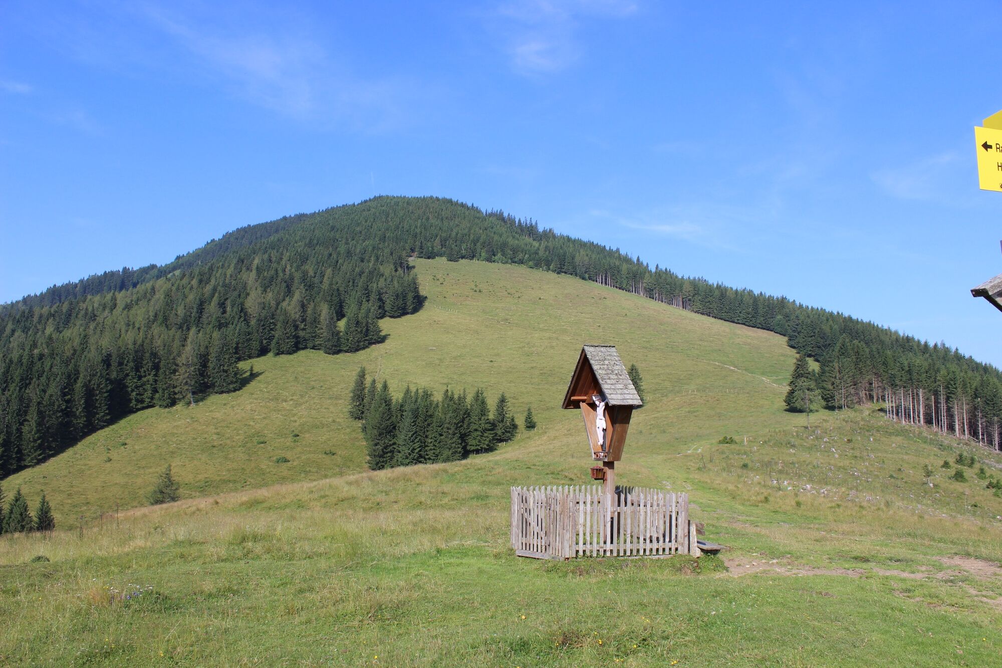
We start at the Stoakoglhütte, above the hut we enter trail no. 745 and walk a little above the Sommeralmstraße to the windmill. At the windmill we go down to the Sommeralmstraße and cross it. Between GH Derler and the Sommeralm chapel is the entrance to the forest road in the direction of "7-Kögel-Weg, GH Holzmeister" (trail no. 706). After approx. 500 m we take the short climb to the right up to the "Drei Wetterkreuzen" (trail no. 45) We continue on the Almenland hiking trail no. 45 across the alpine pastures to the crossroads at the "Schwoabauer-Kreuz". From the "Schwoabauer cross" the path leads right down to the Mixnitzbach and further to the GH Holzmeister. We go right through the courtyard of GH Holzmeister and then across the road, the entrance to trail no. 702/745 is marked "Moosholt". Via the "Kerschbaumgatterl" we now go back up to the Sommeralm (trail no. 730/745). Shortly before the Sommeralm windmill, the ascent begins on the left up to the Plankogel summit (follow the signposts!). From the Plankogel summit cross we descend steeply to the "Stoakoglhütte" - our starting point.
If you want to avoid the rather steep descent from the Plankogel, go back to the windmill and from there again the trail no. 745 along the Sommeralm road to the Stoakoglhütte!
- Highest point
- 1,526 m
- Endpoint
-
Stoakoglhütte, Sommeralm 122, 8172 Heilbrunn
- Height profile
-

- Equipment
-
Take appropriate food and sufficient water with you - or check the refreshment stops (with opening hours!) along the way.A good hiking shoe is a good companion and should never be missing.An emergency kit (blister plaster!) belongs in every backpack.Dress according to the "onion principle" and don't forget rain protection. Sunglasses, sunscreen, hiking map & camera.
- Safety instructions
-
ATTENTION - the trail leads through the middle of the alpine pasture area, please follow the instructions for dealing with grazing livestock.
The trail is walkable without major difficulties and therefore suitable for the whole family.
Emergency call mountain rescue: 140 (if possible please provide GPS data).
Please follow the rules for correct behavior in the mountains.
- Tips
-
Martina and Heimo serve roast pork, Beuschel or blackberry strudel in the Stoakoglhütte. If there is time, Heimo reaches for the "Styrian"!
- Additional information
- Directions
- Public transportation
- Parking
-
Parking lot at the Stoakoglhütte, Sommeralm.


-

-
AuthorThe tour Siebenkögel-Round Trip, Sommeralm is used by outdooractive.com provided.


General info
-
Hochsteiermark
4082
-
Naturpark Almenland
1767
-
Gasen
404