- Brief description
- Difficulty
-
easy
- Rating
-
- Starting point
-
St. Ruprecht - Main Square
- Route
-
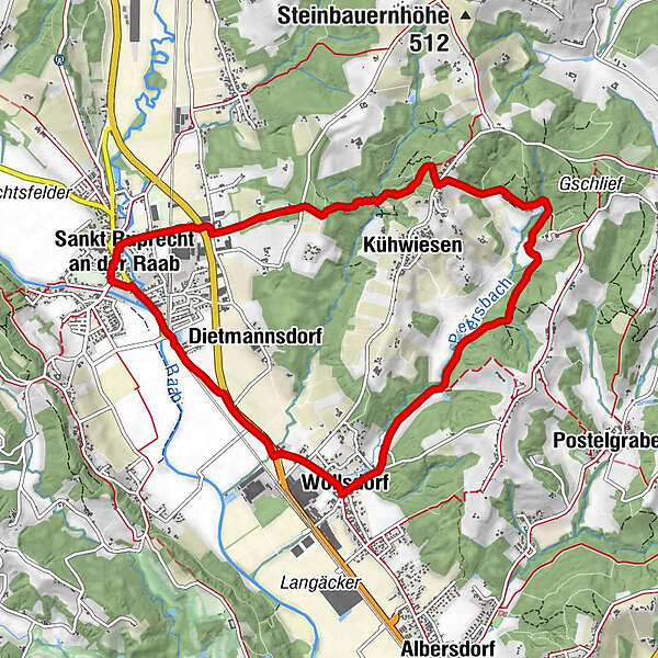
Sankt Ruprecht an der RaabMariensäule0.0 kmFriedensgrotte0.0 kmPfarrkirche hl. Ruprecht0.1 kmKühwiesen2.5 kmFuchsleiten2.7 kmWollsdorf7.0 kmDietmannsdorf8.4 kmSankt Ruprecht an der Raab9.8 kmMariensäule9.9 kmFriedensgrotte10.0 km
- Best season
-
JanFebMarAprMayJunJulAugSepOctNovDec
- Description
-
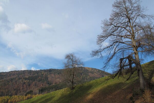
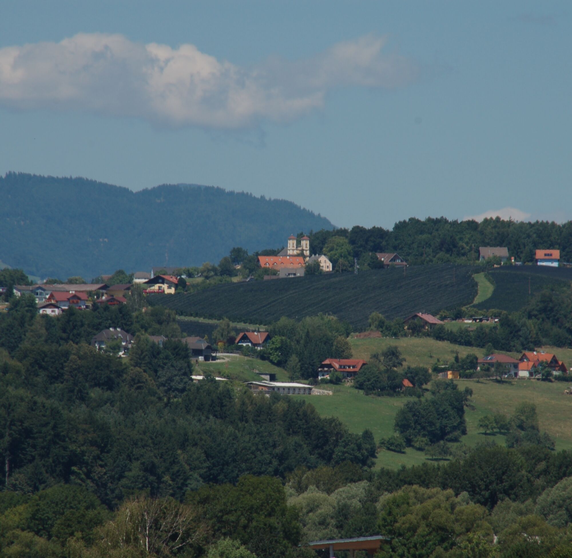
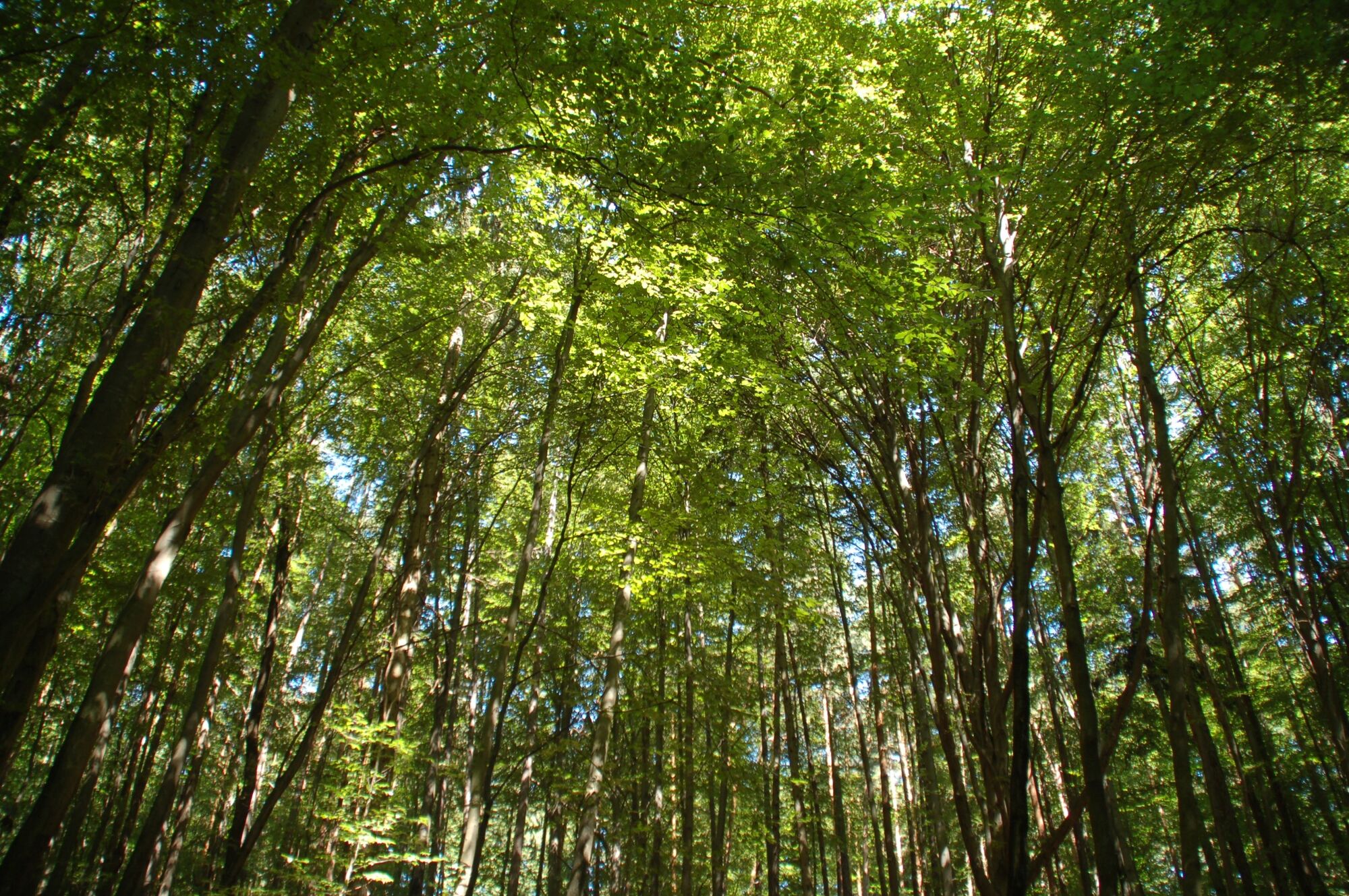
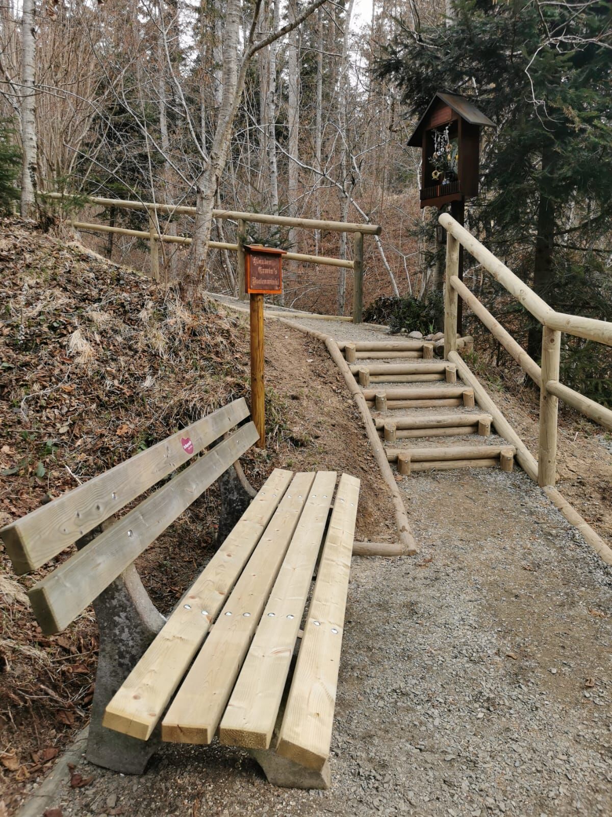
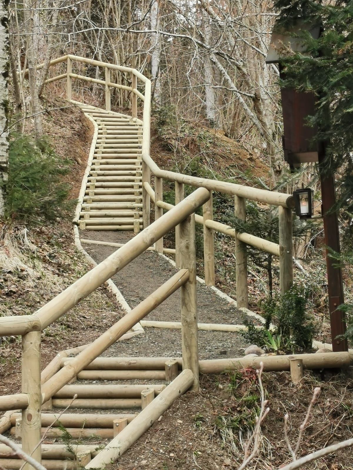
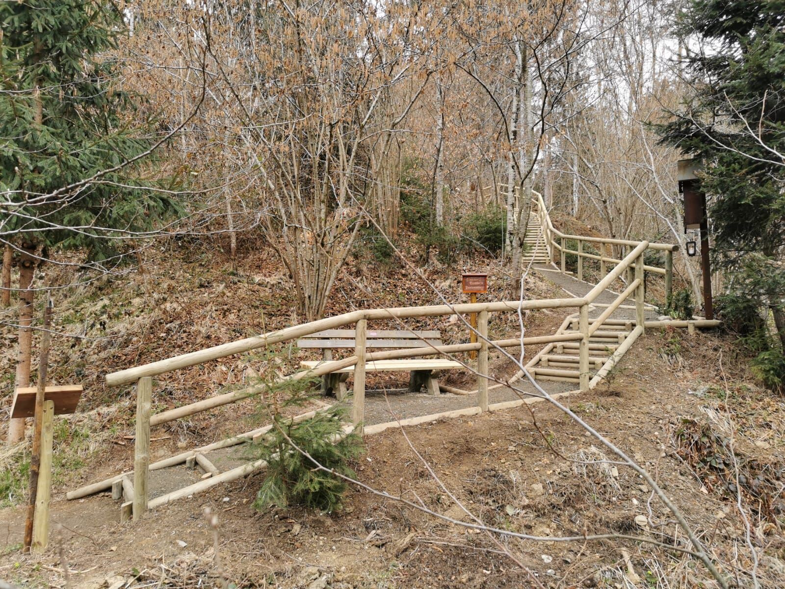
The ridge between St. Ruprecht an der Raab and the villages of Etzersdorf and Rollsdorf, which also belong to the municipality, is one of the most beautiful scenic sections in the Upper Raab Valley. Sections of forest alternate with vantage points that offer us the most varied views of the landscape around St. Ruprecht an der Raab.
- Directions
-
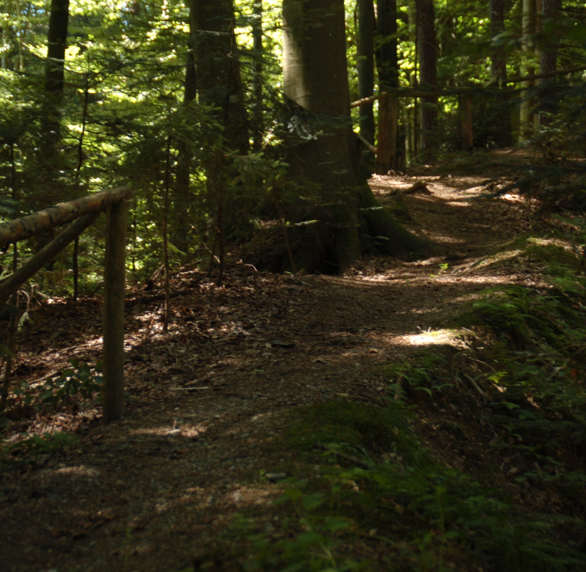
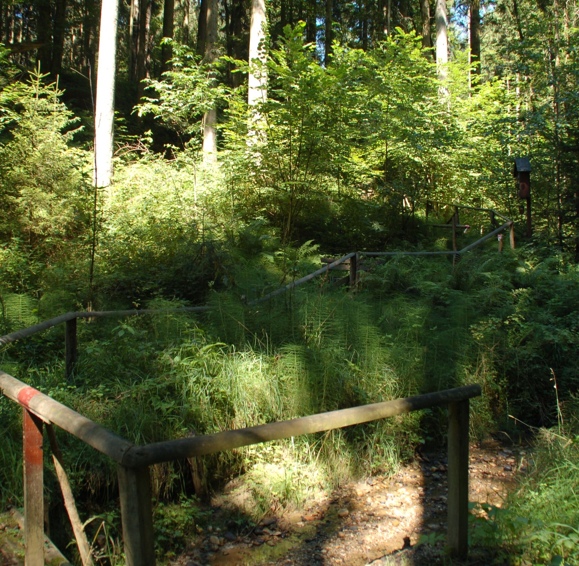
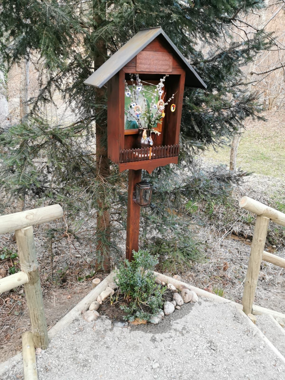
The circular trail starts at the main square in St. Ruprecht an der Raab, the central starting point. From here, we first pass the fire brigade and cross the Weizbach bridge into Gartengasse, which we follow straight on to soon cross the main road. Here we first turn right and then immediately left, where we reach the Hubertus Chapel, a popular resting place, after a fairly short ascent. The path continues across a meadow directly into one of the beautiful high forests that line this ridge. At the end of this section of forest, we cross a small road (Dietmannsdorferstraße) and turn left into the forest after about 100 metres, directly by a house. Here we walk through a beautiful deciduous forest and over an idyllic bridge (Salmbachbrückerl). We continue to follow the signs "Panoramaweg" and then cross the road that connects the Wollsdorf district with Rollsdorf. After crossing the road, keep to the left and soon hike downhill to reach the idyllically situated Grabatz ponds. Here the circular hiking trail around the ponds makes a turn towards Wollsdorf. Before we reach the village, there is a long stretch of trail past meadows and pastures as well as through forests. In Wollsdorf we keep to the right and walk through the village and past the company Estyria / Steirerkraft, whose Kernothek, a beautifully furnished farm shop with the best regional products from Styria, is always worth a visit. Whether Vulcano ham, Zotter chocolate or the company's own products such as the beetle bean - here we find everything our hearts desire and our palates will thank us for. After the OPST company, whose slogan "fresh, juicy, Styrian" is familiar to many of us, we reach a subway where we turn left and pass under the main road. Immediately afterwards we turn right and march the last kilometre back to St. Ruprecht an der Raab, where soon after entering the village the Oststeirische Weinbar of the Garten-Hotel Ochensberger offers us a good opportunity to reward ourselves for the tour.
Marking:
Our hiking trails are marked red-white-red, as is common in the Alpine region, and at the crossing points you will find yellow boards with black lettering and time indications. On the Panoramaweg, please follow the signs "Panoramaweg". At the main square - the general hiking starting point in St. Ruprecht an der Raab - a stand with many yellow signs marks the direction. Our cycling and hiking map "A Region on the Move" is available at the municipal office, at the Raiffeisenbank St. Ruprecht an der Raab and at all catering and accommodation establishments.
- Highest point
- 477 m
- Endpoint
-
St. Ruprecht - Main Square
- Height profile
-

- Equipment
-
Backpack with drinking bottle/thermos jug and provisions
Mountain / hiking shoes
Appropriate clothing - possibly several layers - "Onion principle" on cold days: long hiking trousers, gloves don't forget: headgear, sunglasses
Rain protection, seat pad
Walking poles
Mobile phone
First aid kit
Route description, detailed plan of the hike/hiking map/GPS device
Refreshments before the start of the hike incl. Check opening hours or pack appropriate food - Safety instructions
-
Important phone numbers: Euronotall: 112 Emergency call mountain rescue: 140 (if possible please provide GPS data) Rescue: 144 Fire brigade: 122 Police 133
A few tips on how to behave correctly and fairly in the forest:
(Source: www.bundesforste.at )
Hikers should avoid visits to the forest about 1.5 hours before sunrise and after sunset, as wild animals are particularly active during this time. Plastic bottles, handkerchiefs, cigarette butts & Co have lost nothing in the woods! Please make sure you don't leave any garbage in the woods. Camping and making a fire - is strictly forbidden in the forest! In principle, each person in the forest may collect 2 kg of mushrooms and berries per day for their own use. It is only forbidden if the forest owner expressly forbids it. - Tips
-
Visit the Peace Grotto, directly at St. Ruprecht's main square under the church steps. Detour to the baroque church of St. Ruprecht an der Raab. You can find refreshment in the numerous restaurants in St. Ruprecht an der Raab.
- Additional information
- Directions
-
The market town of St.Ruprecht is located in Eastern Styria and is easily accessible via the A2 motorway from Vienna (approx. 2 hours) and Graz (approx. 30 minutes).
- Arrival from Vienna and from Graz:
On the A2 coming from Vienna and from Graz, take motorway exit 161 / Gleisdorf West in the direction of B54/B64. Follow the B65 / Gleisdorf federal road until you reach the B54 / Wechselbundesstraße. At the roundabout take the second exit to the B64 / Rechberg-Bundesstraße. After about 6 km turn left to St. Ruprecht an der Raab.
- Public transportation
- Parking

-

-
AuthorThe tour panorama path, St. Ruprecht/Raab is used by outdooractive.com provided.


General info
-
Oststeiermark
2126
-
Weiz/St. Ruprecht an der Raab
1521
-
Albersdorf-Prebuch
178