


- Brief description
-
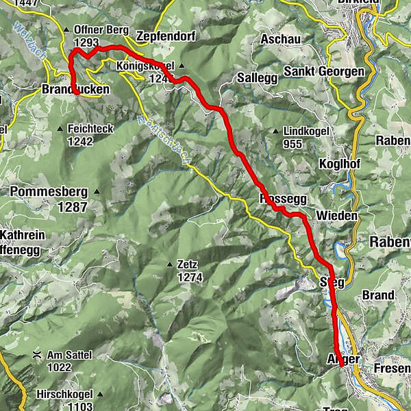
From the Brandlucken over meadows and through forests down to the beautiful market town of Anger - always with a great view!
- Difficulty
-
medium
- Rating
-
- Starting point
-
Brandlucken
- Route
-
Gasthof Zur schönen AussichtBrandlucken0.1 kmGasthof Jagawirt0.1 kmEgger5.9 kmGrub7.3 kmRossegg9.1 kmSteg11.8 kmAnger13.8 kmPfarrkirche hl. Andreas13.9 km
- Best season
-
JanFebMarAprMayJunJulAugSepOctNovDec
- Description
-
The Brandlucken is the eastern gateway to the alpine pasture area, but is also situated at over 1,000 m above sea level itself. The village is dominated by the open-air stage of the Huab'n Theatre, which stages Austrian comedy classics here in the summer months.
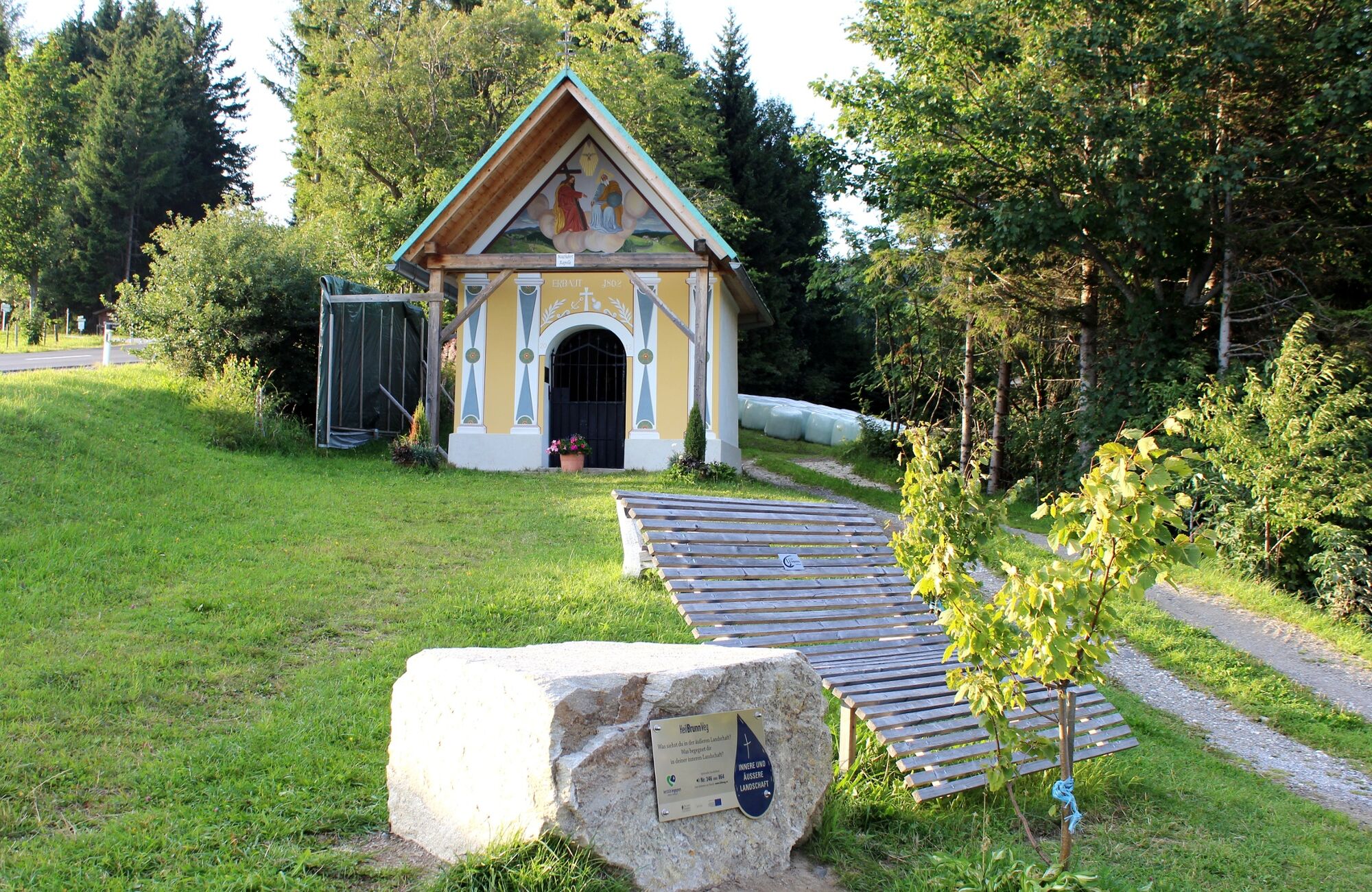
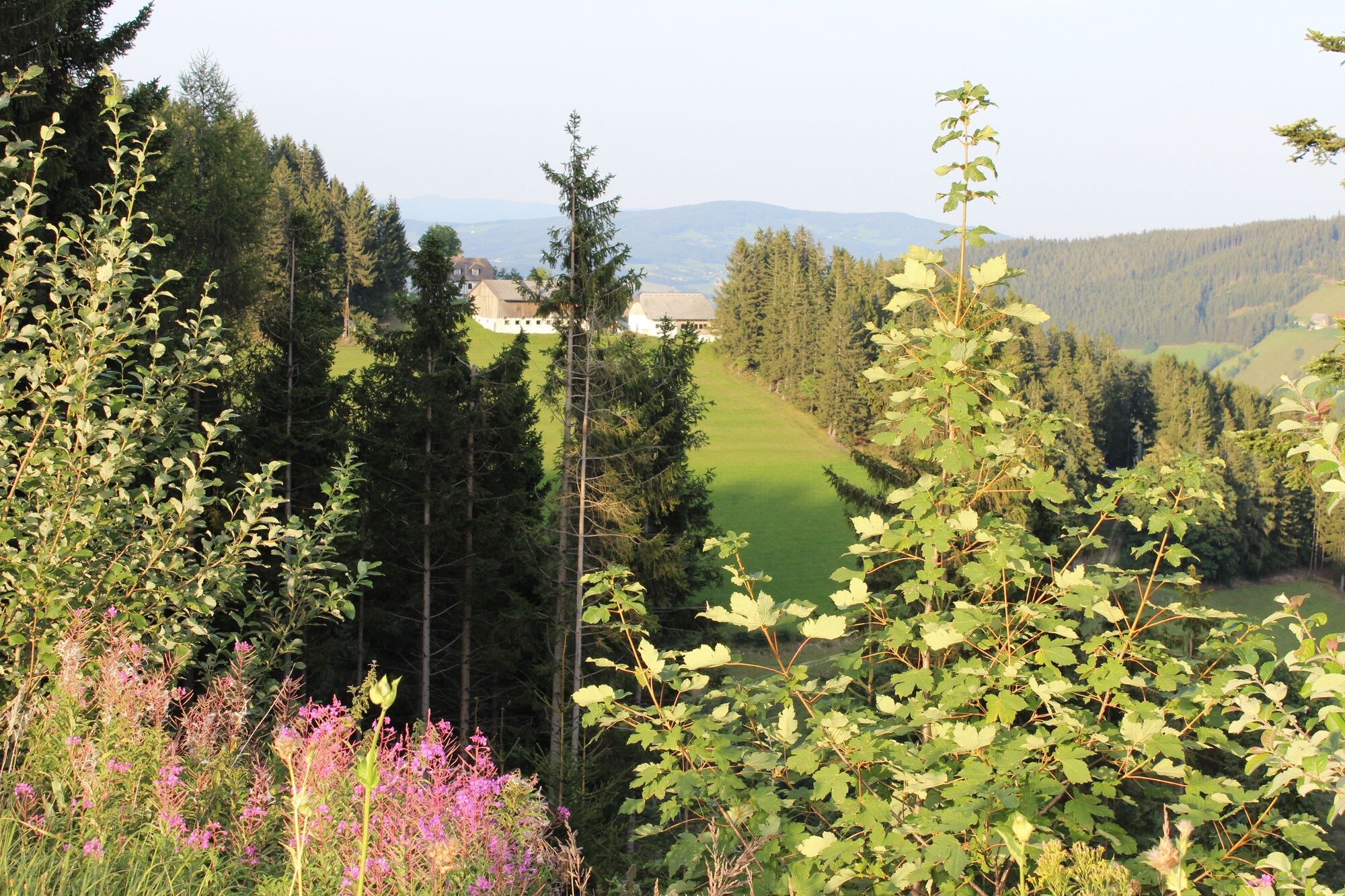
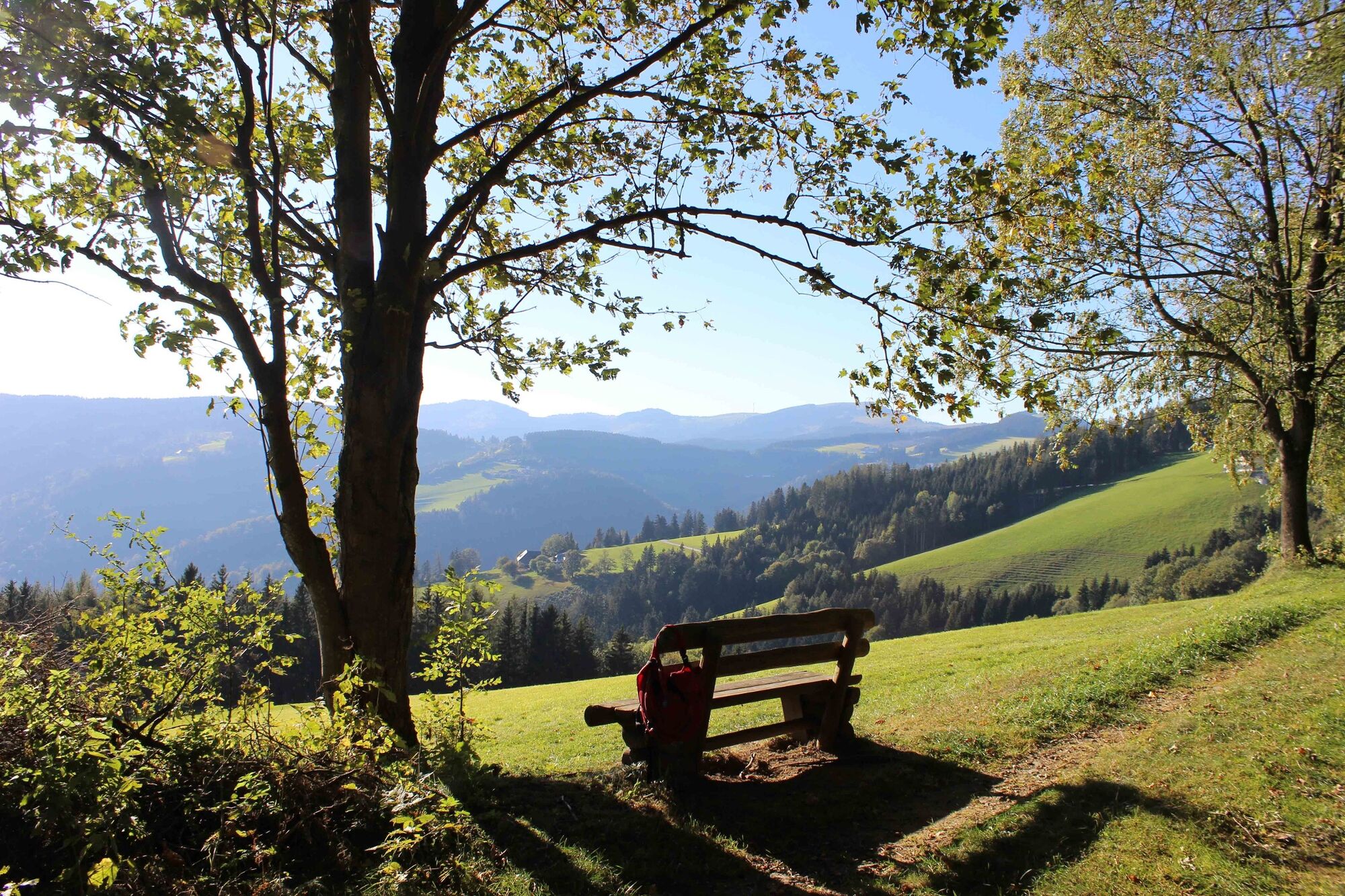
The trail first leads out along the "HeilBrunnWeges" to the "Mautmini Chapel". It continues past beautiful farmsteads to the "Offnerkreuz". We have long been on the "Almenland Panorama Trail", which takes its name from the magnificent views far out into the East Styrian countryside. As the Königskogel peak is completely overgrown, we bypass it. Immediately afterwards we reach the village of Sallegg, the Obi-Hansl Hut is unfortunately closed by now.
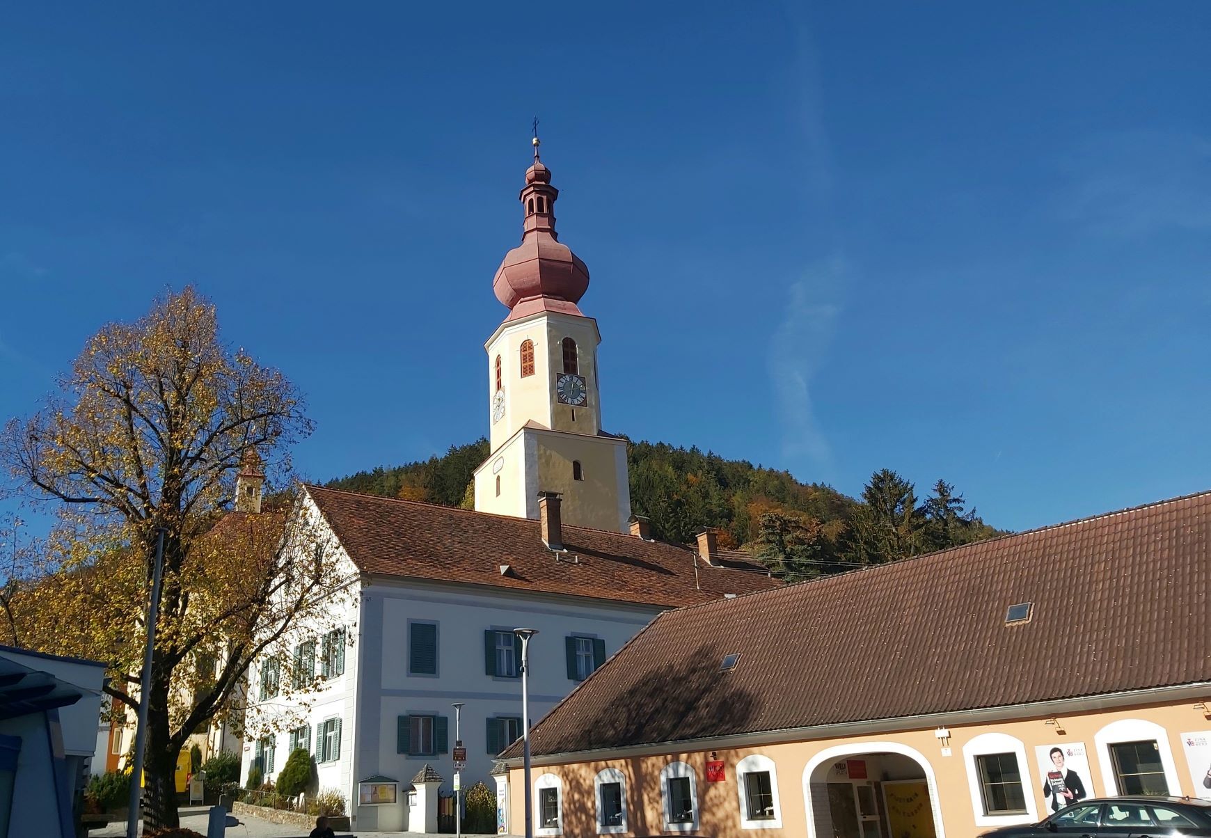
The rest of the trail then leads over the hilly landscape around Rossegg down to Steg. The last stretch leads along the Feistritz river to the centre of Anger. There, a parish church worth seeing and several refreshment stops await the hikers.
- Directions
-
We start on the Brandlucken and join trail no. 745/"HeilBrunnWeg" at the access road to the "Kornreitherhaus". The trail leads past the Brandlucken Chapel and then mainly out through the forest to the "Mautmini Chapel". There we branch off to the right and continue along trail no. 64/"Almenland-Panoramaweg" to the "Offnerkreuz" cross on the main road. Cross the road and walk a few metres along the "Almenland-Panoramastraße" until trail no. 64 branches off to the left towards "Königskogel". We skip the Königskogel summit and continue on trail no. 64, past the Wetterkreuz (and a few steps on the road) down to the "Egger" farmstead. On the other side of the road we rejoin trail no. 64 ("Rossegg" or "Anger") and walk down to the Perhofer homestead. Now we are already in Rossegg and continue to the crossroads with the country road, where we go downhill for about 300 m. We turn right onto the forest road. We branch off to the right onto the forest road, walk briefly uphill to a hill with weather crosses and then immediately downhill again. Stay on trail no. 64 and follow it down into the valley to the village of Steg.Cross the main road at the crossroads, follow the sign "Anger 30 min." and walk parallel to the main road for a short while. The further path to the village of Anger leads along the Feistritz river on the left ("Feistritztal Radweg"). Via Roseggerstraße and Südtiroler Platz we reach the parish church. At the intersection with Weizerstraße we turn right and have then immediately reached the main square of Anger.
Please do not forget to order the SAM shared taxi in good time for the return transfer to the Brandlucken!
- Highest point
- 1,151 m
- Endpoint
-
Anger
- Height profile
-

- Equipment
-
Take appropriate food and sufficient water with you - or check the refreshment stops (with opening hours!) along the way.
A good hiking boot is a good companion and should never be missing.
Emergency equipment (blister plasters!) belongs in every rucksack.
Dress according to the "onion principle" and don't forget rain protection. Sunglasses, sunscreen, hiking map & camera.
- Safety instructions
- Tips
-
The "Huab'n" on the Brandlucken is not only a theatre backdrop, but also hosts a small market with many regional products.
- Additional information
-
More info about the region, where to stop for a bite to eat, where to find rooms and descriptions of the excursion destinations and businesses:
Tourismusverband Oststeiermark
Almenland Nature Park Office
Fladnitz 100
8163 Fladnitz/Teichalm
Tel: +43 3179 23000
Mail: almenland@oststeiermark.com
www.almenland.at | www.oststeiermark.com - Directions
- Public transportation
- Parking
-
Parking spaces on the Brandlucken near the Huab'n Theatre

-

-
AuthorThe tour Brandlucken-Anger across the Königskogel is used by outdooractive.com provided.


General info
-
Hochsteiermark
4083
-
Naturpark Almenland
1766
-
Koglhof
419


