- Brief description
-
The ideal tour for all those who also want to take a look at the Teichalm from above. From the Osser summit at 1548 m you have wonderful views.
- Difficulty
-
medium
- Rating
-
- Starting point
-
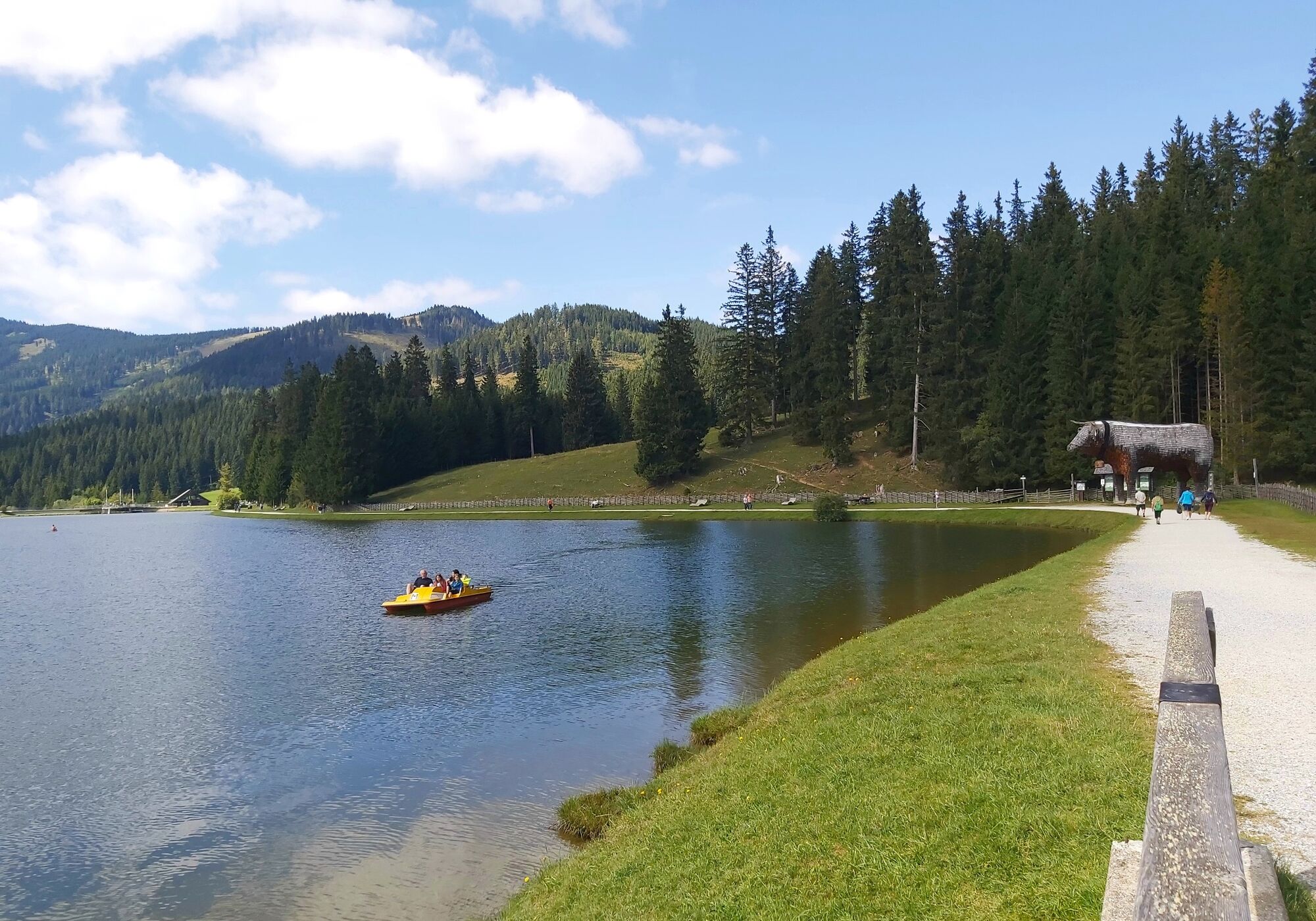
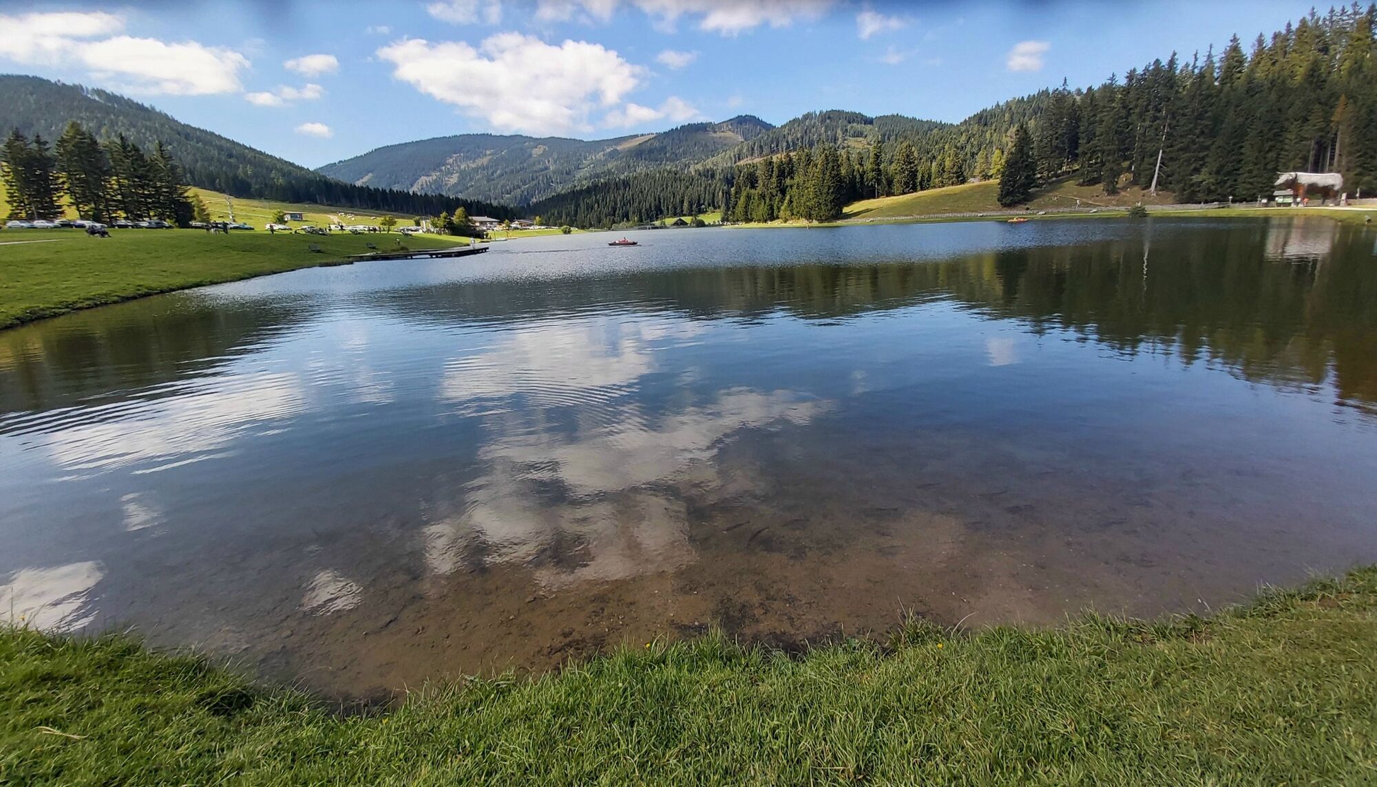
Teichalm Lake
- Route
-
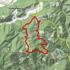
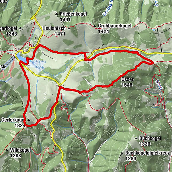
Gerlerkogel (1,324 m)1.9 kmGerlerkogelhütte2.3 kmOsser (1,548 m)6.0 kmHolzmeister7.9 km
- Best season
-
JanFebMarAprMayJunJulAugSepOctNovDec
- Description
-
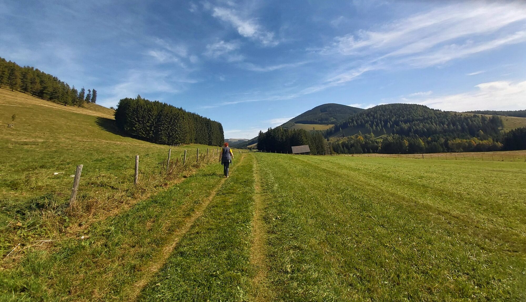
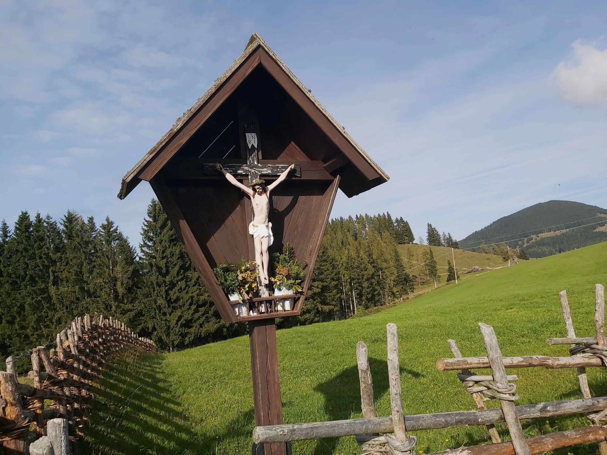
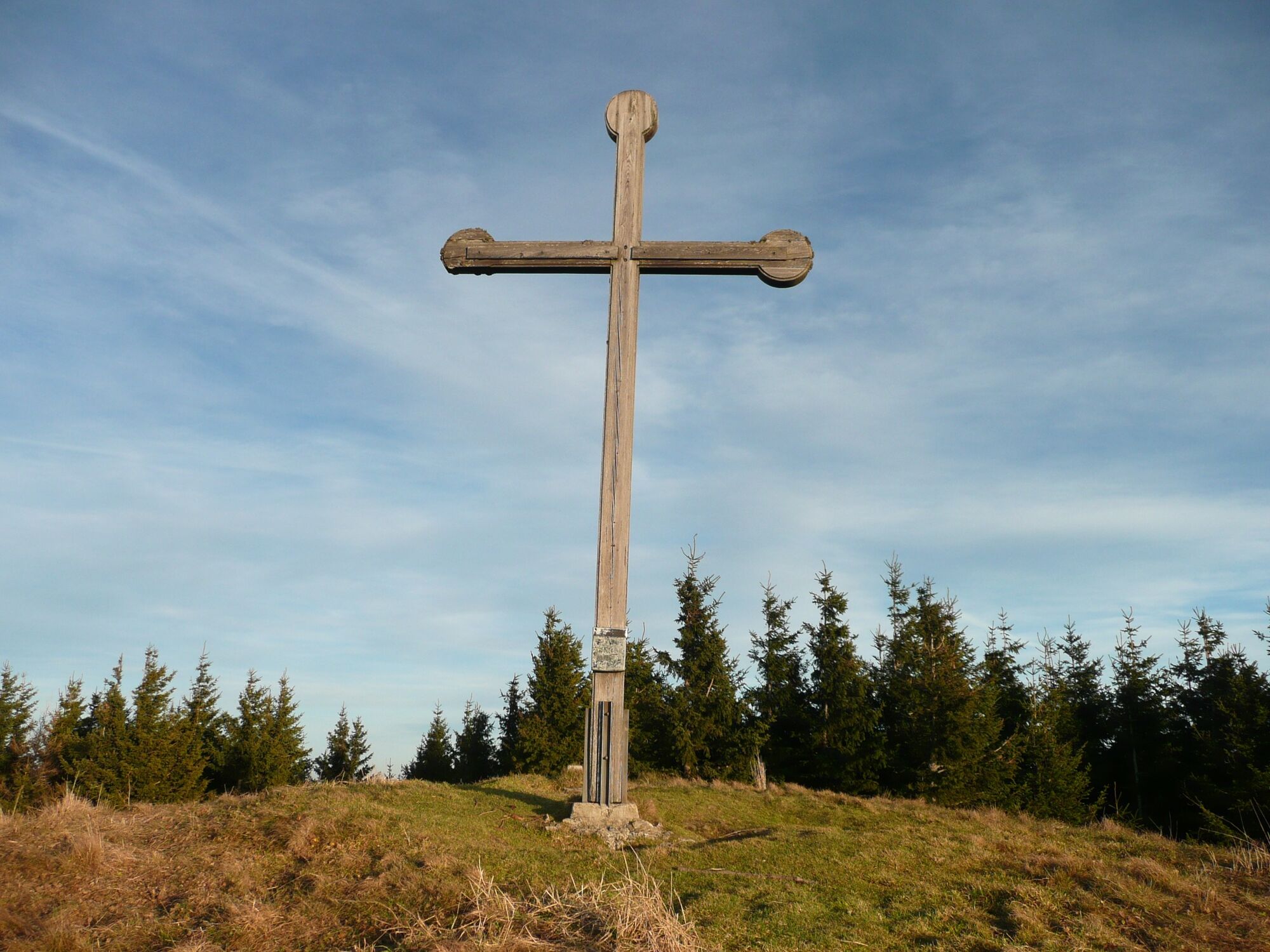
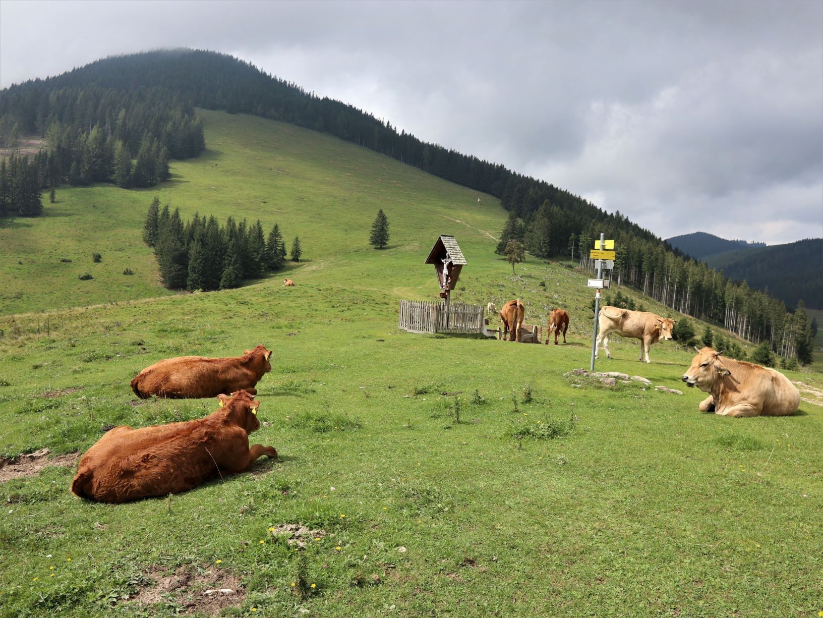
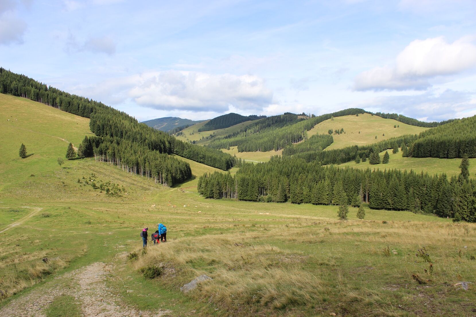
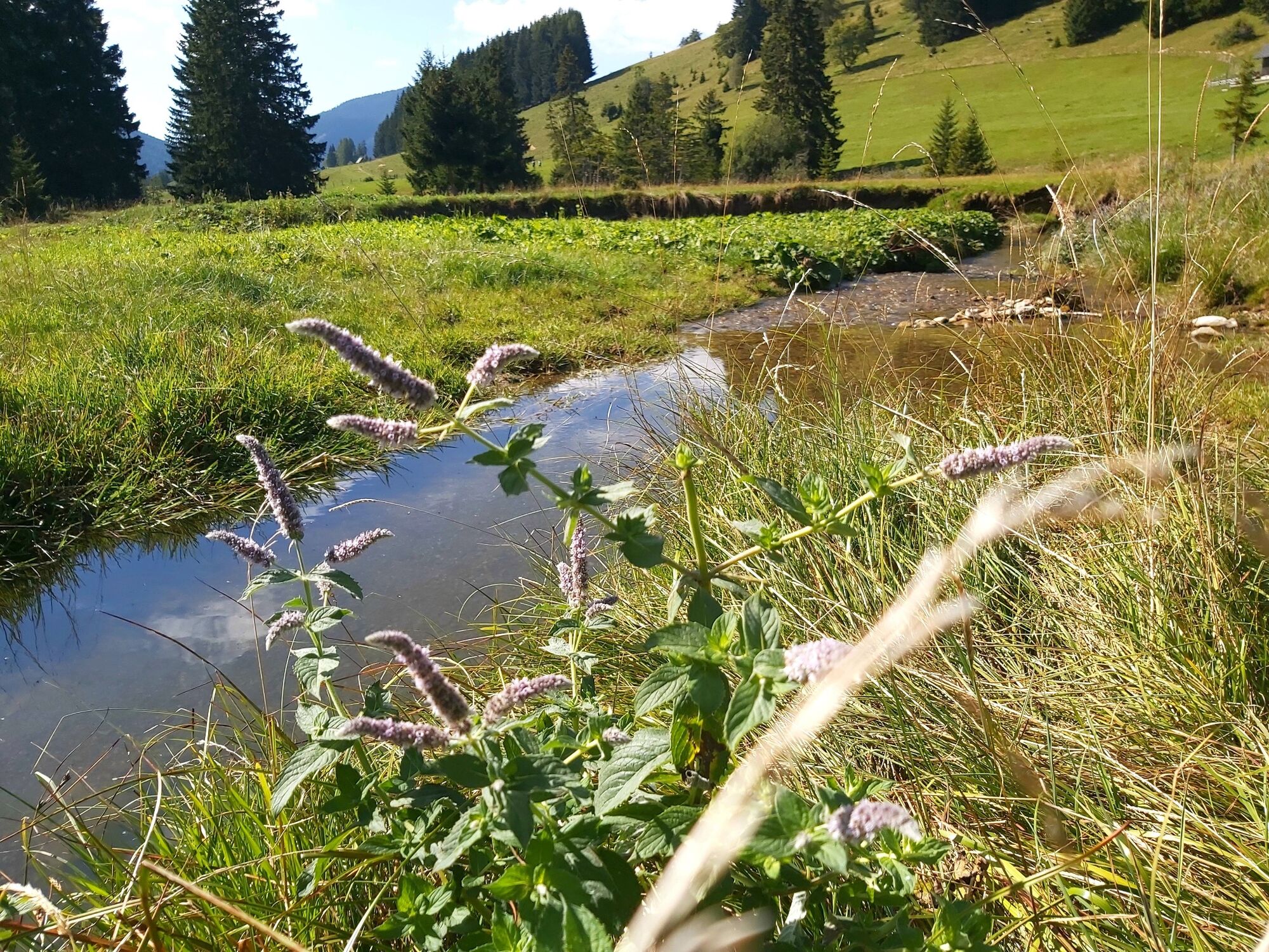
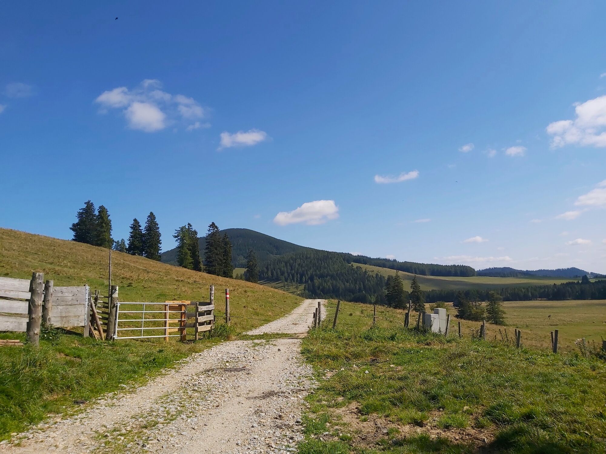
The trail starts on the Teichalm and leads via the Gerlerkreuz to the Angerwirt. From the Angerwirt, head out to the right in the direction of the Sommeralm. The last stretch to the Osser summit leads quite steeply up the forest. The view down to the Teichalmsee and further out to the Hochlantsch is all the more beautiful. The path down to GH Holzmeister leads steeply downhill in the high forest, now you can already see the "Schwoabauerkreuz", a well-known wayside cross on the Sommeralm.
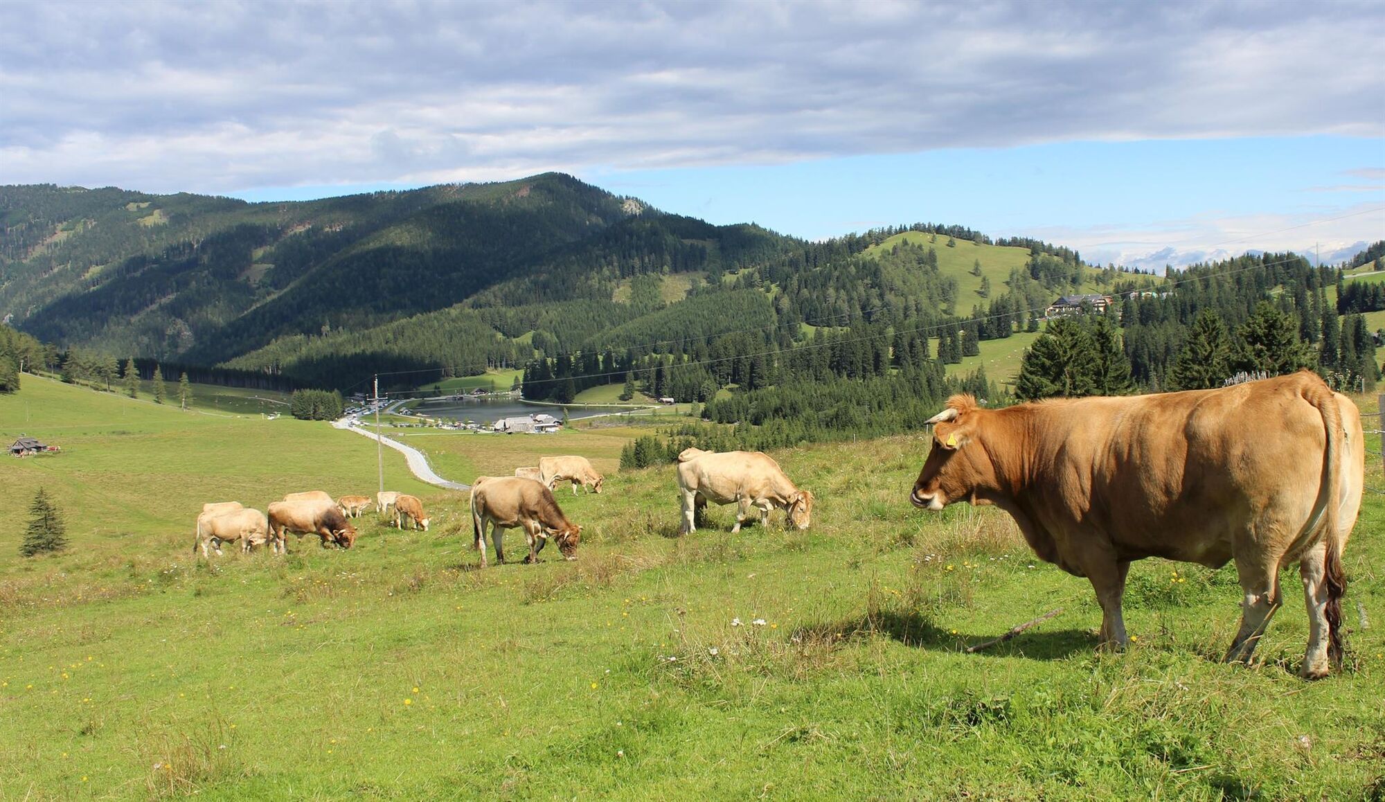
Now turn left along the forest in the direction of the Teichalmsee lake. On the wide forest road, you reach the Sommeralm road at the Harrerhütte. On the other side of the road, the trail now leads out to the Teichalmsee lake. There, the wooden ox and the Teichalm moor are waiting to be visited and beautiful establishments for a stop.
The trail can be extended to include the descent down to the "Raabursprung".
- Directions
-
the entrance to trail 740 up to the Gerler Cross is at the car park opposite Lake Teichalm/Ostlift.
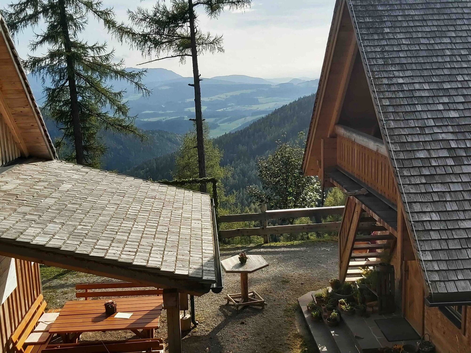
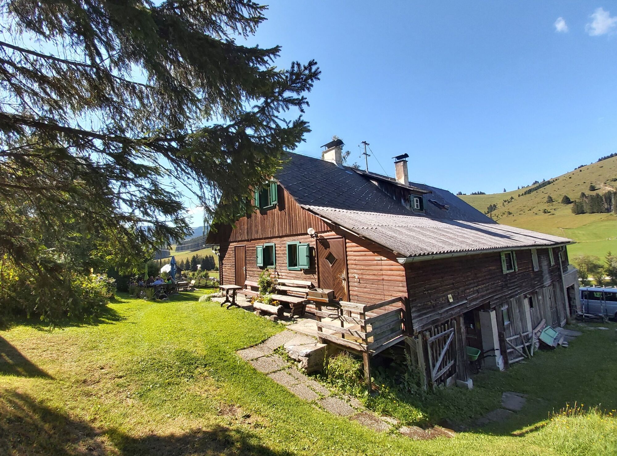
shortly before the Gerler-Kreuz, the Gerlerkogelhütte has recently been waiting for guests.
from the Gerler Cross, trail no. 42 leads down to the Angerwirt Inn.
at the Angerwirt cross the Teichalmstraße, the further trail 45 leads to the right of the Sommeralm-Straße up to the Osser
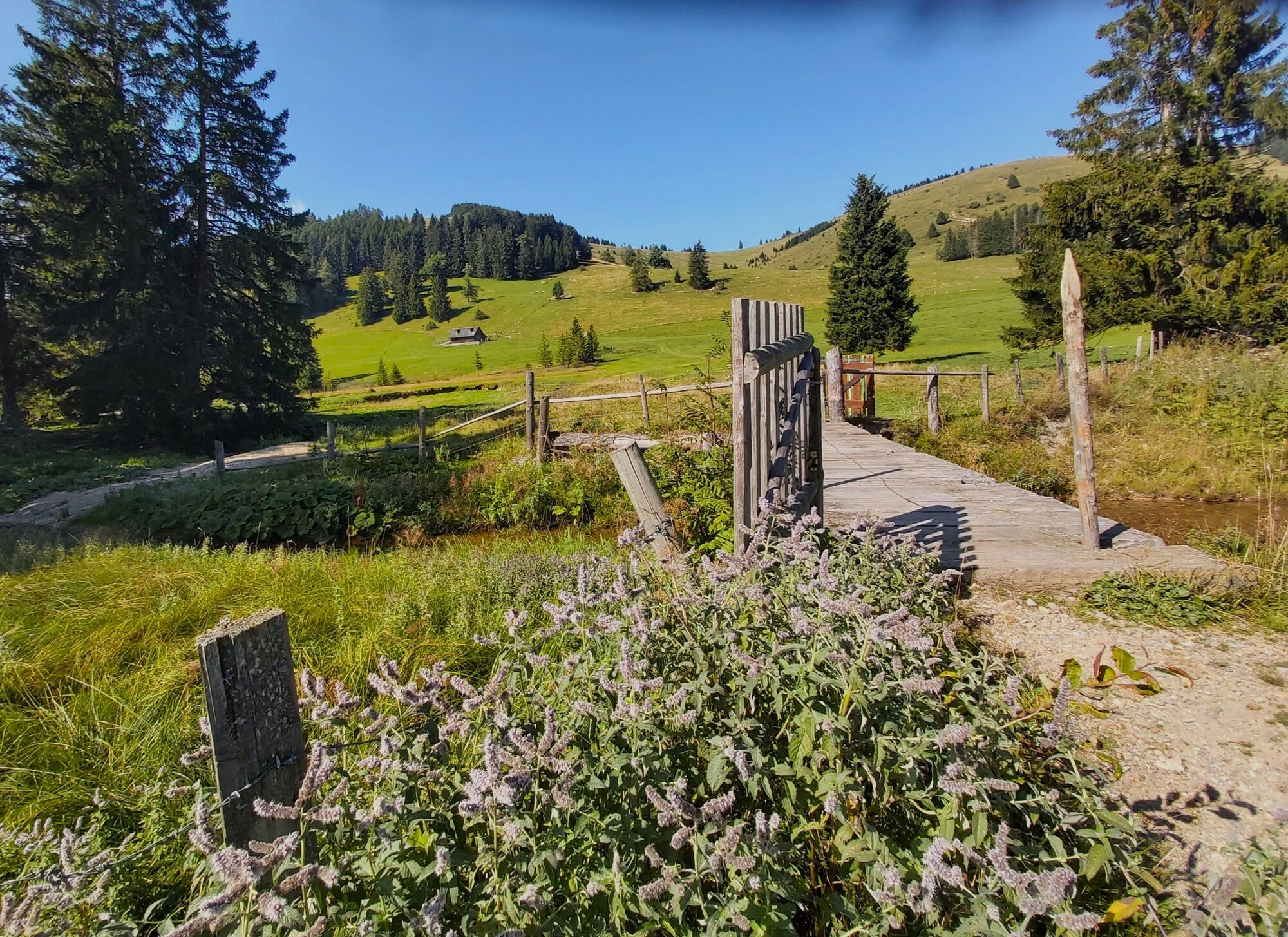
from the Osser summit cross descend via trail 45 down to the "Schwoabauer-Kreuz" cross- continue in the direction of "GH Holzmeister" and cross the Mixnitzbach stream
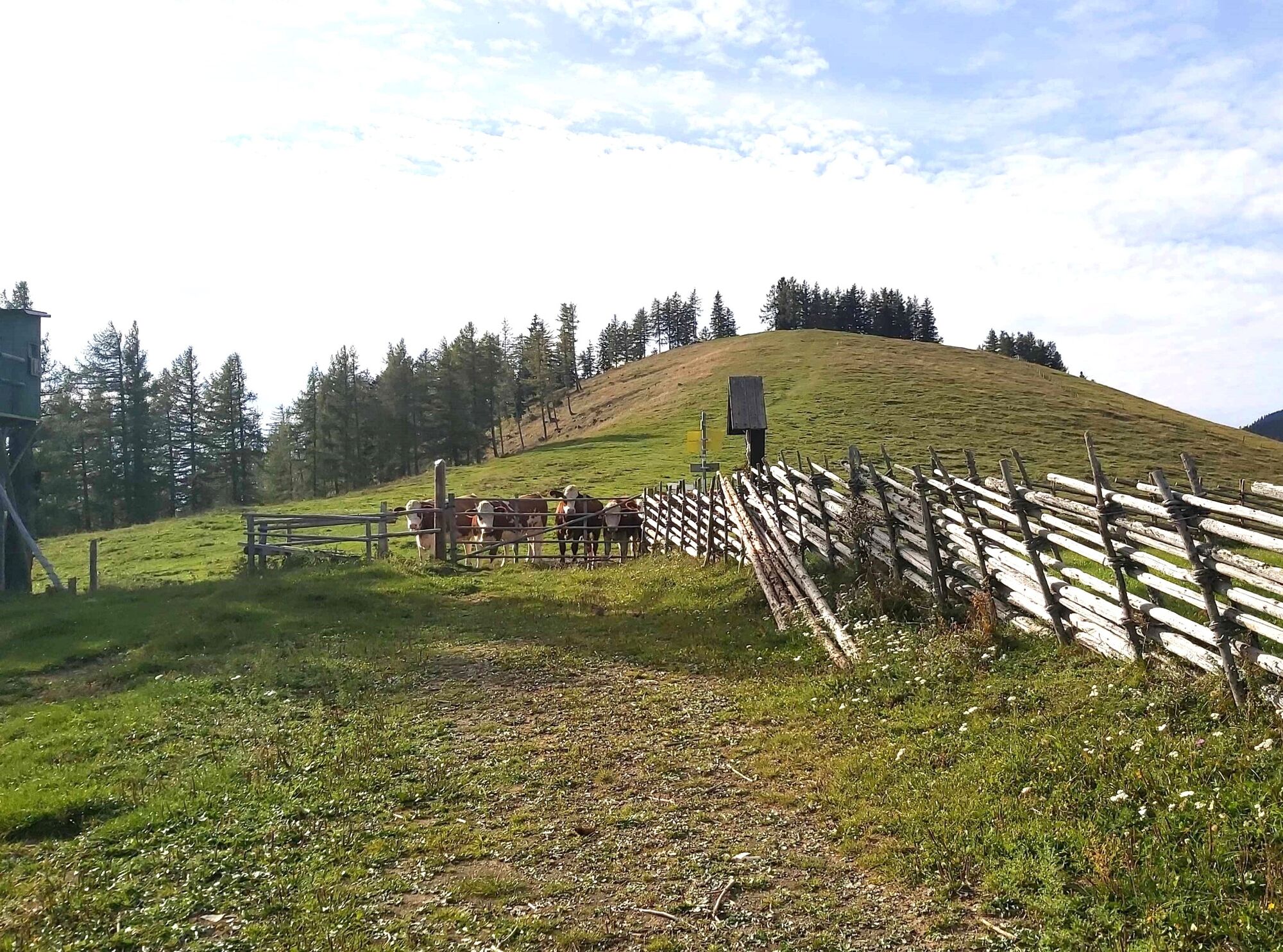
from the Holzmeister Inn, turn left along the forest in the direction of the "Teichalm".
cross the Sommeralmstraße at the Harrer-Hütte and take the connecting path over the Mixnitzbach to the right uphill
Turn left at the crossroads and follow path 745/702 to Teichalmsee/Holzochsen. - Highest point
- 1,539 m
- Endpoint
-
Teichalm Lake
- Height profile
-

- Equipment
-
Take appropriate food and sufficient water with you - or check the refreshment stops (with opening hours!) along the way.
A good hiking boot is a good companion and should never be missing.Emergency equipment (blister plasters!) belongs in every rucksack.
Dress according to the "onion principle" and don't forget rain protection.
Sunglasses, sunscreen, hiking map & camera. - Safety instructions
- Tips
-
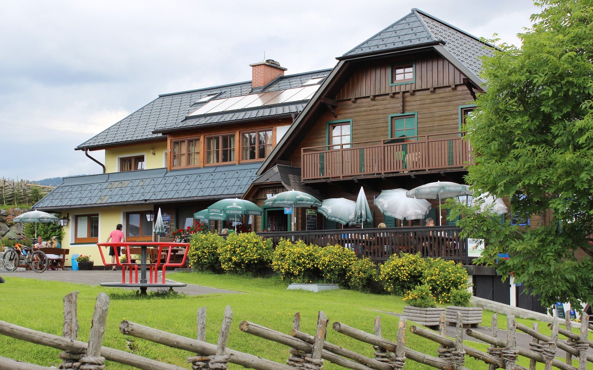
The "Harrerhütte" is the last alpine dairy on the alp. Mrs Leitner serves fresh buttermilk, alpine butter or a fruit yoghurt in the blooming farm garden.
- Additional information
- Directions
- Public transportation
-
Travel by ÖBB to Mixnitz-Bärenschützklamm station, in July and August a post bus runs on Sundays from Mixnitz or from Weiz (via the Sommeralm) up to the Teichalm.
Timetables and travel information can be found at the Austrian Federal Railways (ÖBB) or at www.busbahnbim.at.
- Parking
-
Parking spaces are available around the Teichalmsee.

-

-
AuthorThe tour Osser Round Trip around the Teichalm is used by outdooractive.com provided.


General info
-
Hochsteiermark
4046
-
Naturpark Almenland
1753
-
Fladnitz an der Teichalm
577