- Brief description
- Difficulty
-
easy
- Rating
-
- Starting point
-
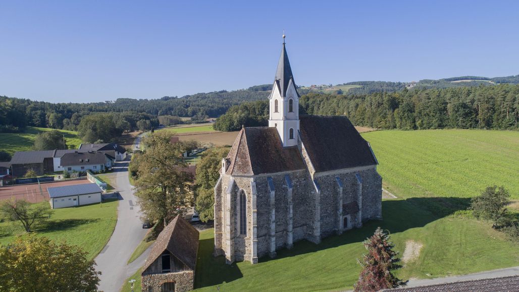
Pöllau, Parish Church
- Route
-
Pfarrkirche PöllauPöllauGasthaus Ritter0.1 kmFreiberg2.8 kmNaturjuwel Schönauklamm6.6 kmSchönau bei Pöllau6.6 kmSchönaudorf7.1 kmBuschenschank Safner7.3 kmFahring8.0 kmSankt Stefan10.0 km
- Best season
-
JanFebMarAprMayJunJulAugSepOctNovDec
- Description
-
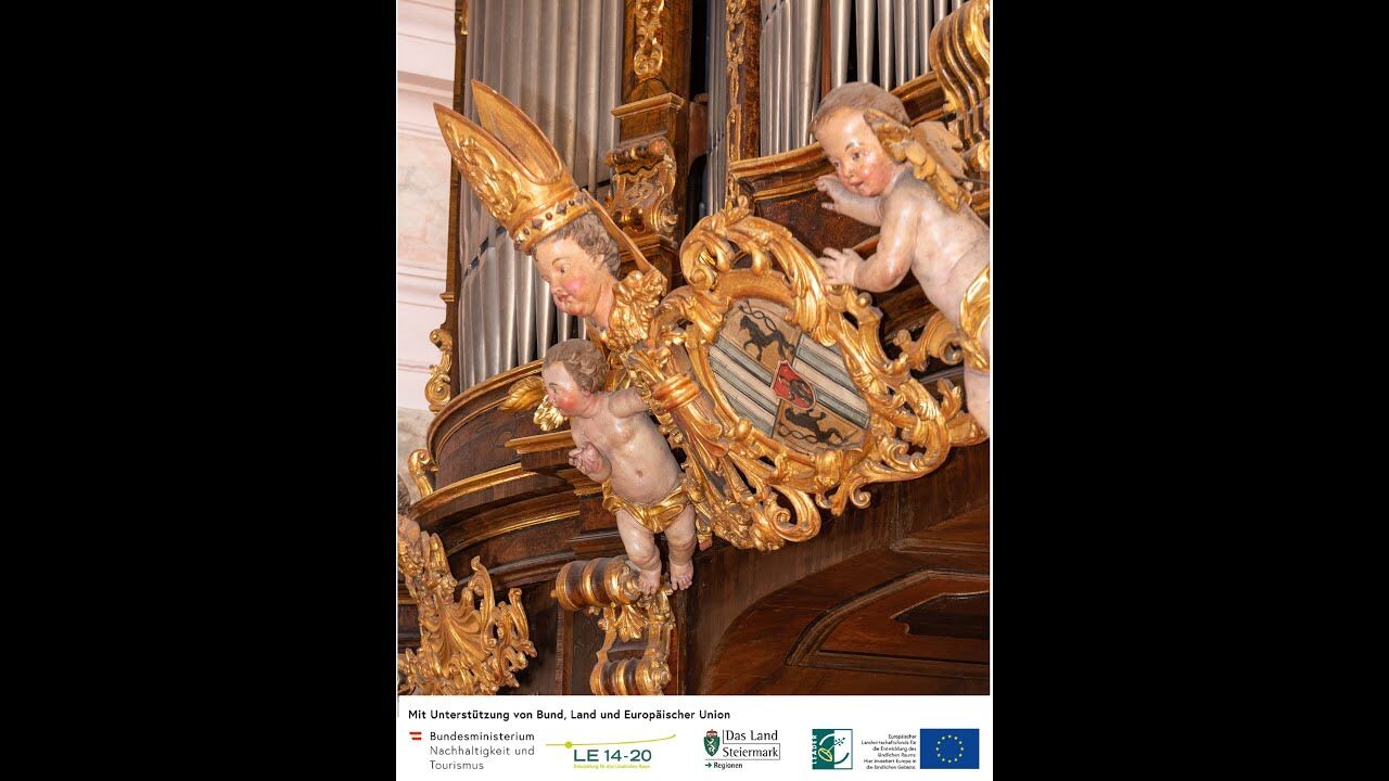
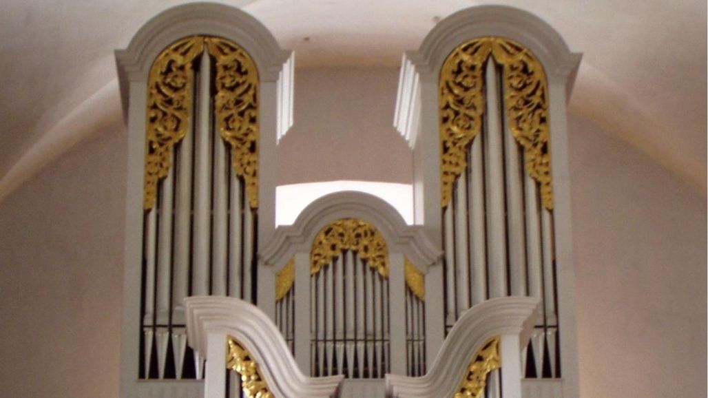
We would like to invite you to combine your hike in the Pöllauer Tal Nature Park and in ApfelLand-Stubenbergsee with enjoyment of art and culture and to enjoy the culinary delights. The individual organ walking tours can be easily combined with each other.
Hike from church to church in the Pöllauer Tal Nature Park and ApfelLand- Stubenbergsee regions and get to know the benefits of an individual guided tour with the sound of bells and organs. Download the free app "Hearonymus", set the "Churches in ApfelLand-Stubenbergsee and Naturpark Pöllauer Tal" in the "Guides" and your smartphone has already become an audio guide.
- Directions
-
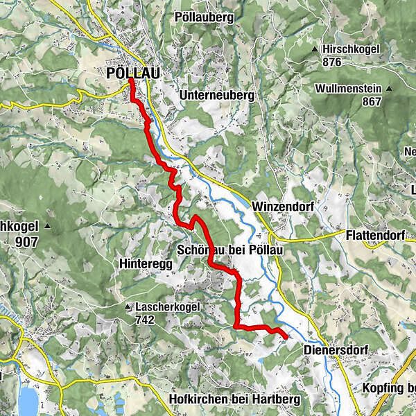
Pöllau - Haidenweg - Berger Kreuz - Kroisbach Starting from the Pöllau parish church and heading south, through Lamberggasse or Remigigasse, we begin our tour. After reaching the bridge of the Mausbach near the Buchberger slaughterhouse, we turn left and follow the road to the next crossroads, where we turn right into Wiedenweg and follow the markings red-white-red no. 945 or white-green-white no. 9. Continue along a gravel road through the Berghofer estate, Hinteregg 111, until you reach the signpost with the number 945, Maria Fiederbründl, the marking white-green-white no. 9, and turn right here over the small bridge.From the Freiberg district, head in a south-westerly direction through a slightly ascending mixed forest. After passing a stream over a longer bridge, the trail finally leads slightly uphill over open ground past a chapel to the Mauerhofer family (former inn). From there, slightly uphill in a south-westerly direction to the Berger Kreuz cross and the Kroisbach bus stop.
Kroisbach - Schönau - Schönaudorf - St. Stefan
At the Kroisbach bus stop, follow the red-white-red No. 945 markings in a southerly direction to the Schönegg school. Directly in front of the former municipal office (next to the school), the trail branches off left into the forest to the Schönau landmark. From there, continue right through the forest with the markings as before. After a beautiful forest path, we cross an asphalt road and then turn right into the romantic Schönauklamm gorge, past an old mill ruin, we cross the Kroisbach stream over a bridge and arrive at the exit of the gorge. Here we pass a residential house on the left and reach an asphalt road. Then we turn left into Schönaudorf. From the centre of Schönaudorf, we walk along the road on the right for about 1.5 km on the Annahofweg and Fahringweg past small wayside shrines and beautiful detached houses to the Schönau 93 estate, which is located at a crossroads. We turn left on the municipal road and reach the church in St. Stefan on this road. - Highest point
- 452 m
- Endpoint
-
Kaindorf, church St. Stefan
- Height profile
-

- Equipment
-
small rucksack with water bottle (+ provisions)
Sturdy shoes
Appropriate clothing - preferably several layers - "onion principle"
Rain and sun protection
Hiking poles as required
Mobile phone
Small first aid kit
Route description
Before starting the hike, check where you can stop for refreshments, including opening times, or pack suitable provisions. - Safety instructions
-
European emergency call: 112
Emergency call mountain rescue: 140 (if possible, please provide GPS data)
Rescue: 144
Fire brigade: 122 '
Police: 133
The trail is easy to walk and therefore suitable for the whole family.
Correct behaviour when hiking: Rules of behaviour when hiking
A few tips on correct and fair behaviour in the forest: (Source: Bundesforste https://www.bundesforste.at/english.html)
Hikers should avoid visiting the forest approx. 1.5 hours before sunrise and after sunset, as wild animals are particularly active at this time. Plastic bottles, handkerchiefs, cigarette butts etc. have no place in the forest! Please make sure that you do not leave any rubbish in the forest. Camping and making fires is strictly forbidden in the forest! In principle, every person in the forest is allowed to collect 2kg of mushrooms and berries per day for their own use. It is only prohibited if the forest owner expressly forbids it. In principle, every person in the forest is allowed to collect 2kg of mushrooms and berries per day for their own use. It is only prohibited if the forest owner expressly forbids it. - Tips
-
Experience the scenic diversity of the Pöllauer Tal Nature Park.
Also plan enough time to enjoy the culinary delicacies - Additional information
-
Information about the region, places to stop for refreshments and overnight accommodation, excursion destinations etc. can be found here:
Tourism region Eastern Styria
Nature Park Pöllauer Valley office
Schloss 1, 8225 Pöllau, Austria
- Arrival
- Public transportation
- Parking


- Author
-
The tour Organ Hiking: Stage Pöllau - St. Stefan is used by outdooractive.com provided.


General info
-
Oststeiermark
2124
-
Naturpark Pöllauer Tal
1095
-
Pöllau
344