© Bernhard Frosch
© Bernhard Frosch

© Bernhard Frosch
© Bernhard Frosch
© Bernhard Frosch
© Bernhard Frosch

© Bernhard Frosch
© Bernhard Frosch
© Bernhard Frosch

© Bernhard Frosch
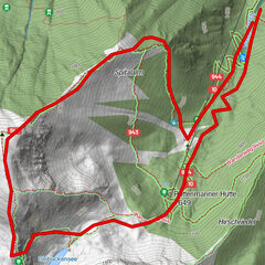
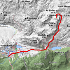
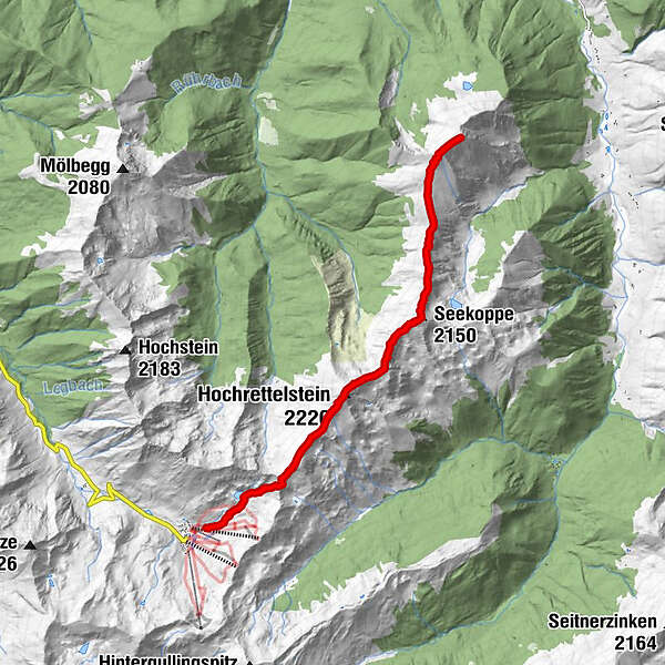
Tour data
15km
1,585
- 2,220m
1,235hm
1,235hm
08:00h
- Brief description
-
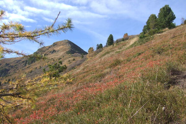
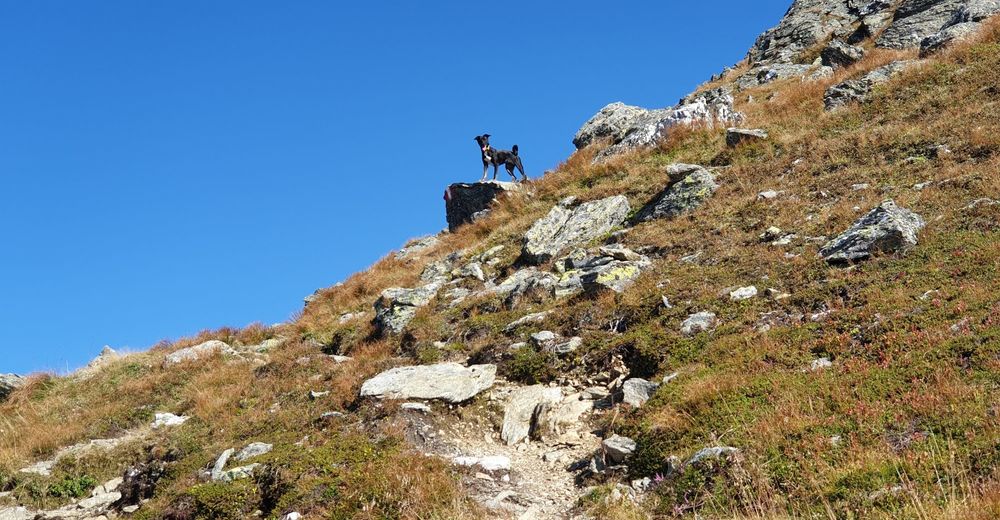
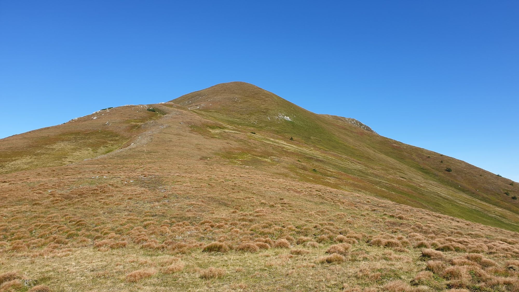
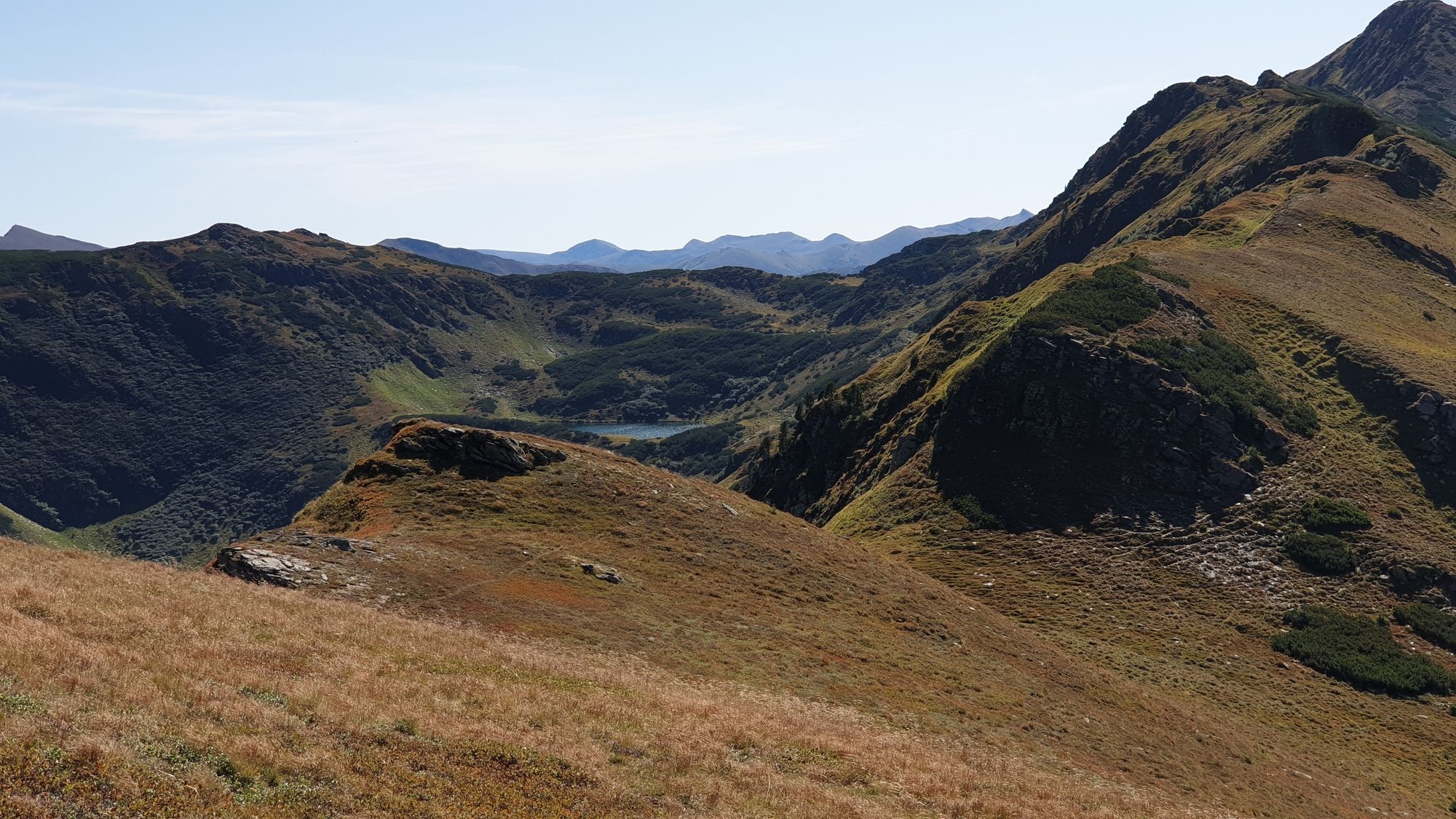
Von der Planneralm zum Hochgrössen, hin und retour die gleiche Strecke.
- Difficulty
-
medium
- Rating
-
- Starting point
-
Planneralm
- Route
-
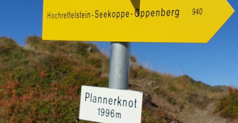
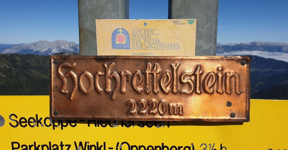
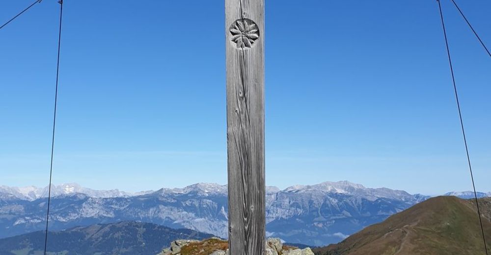
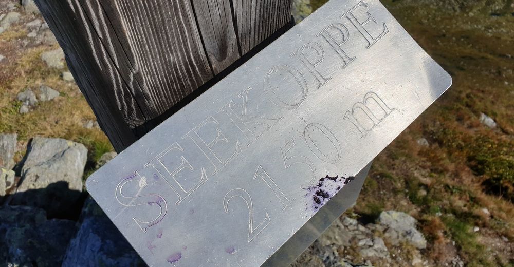
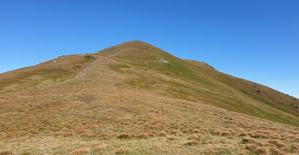
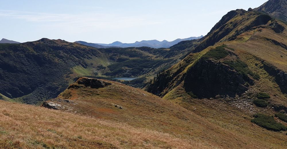
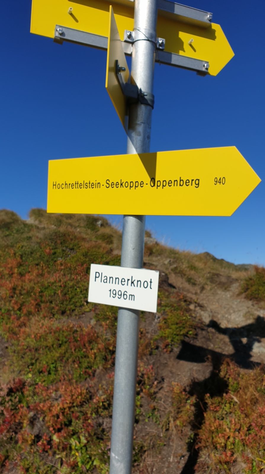
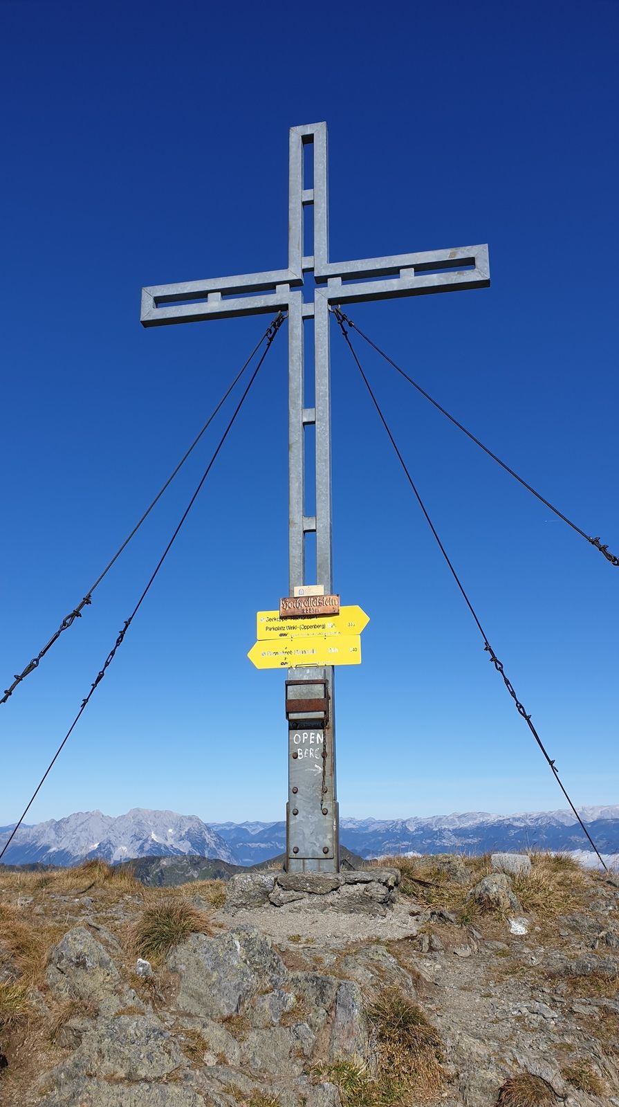
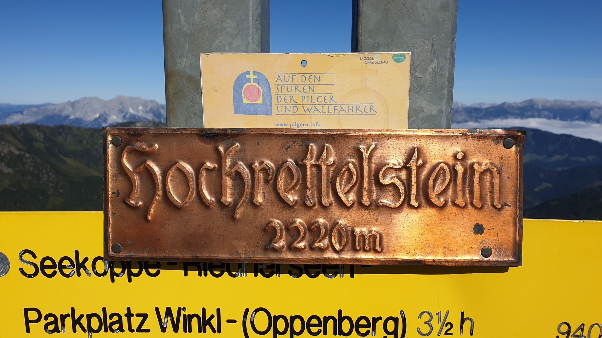
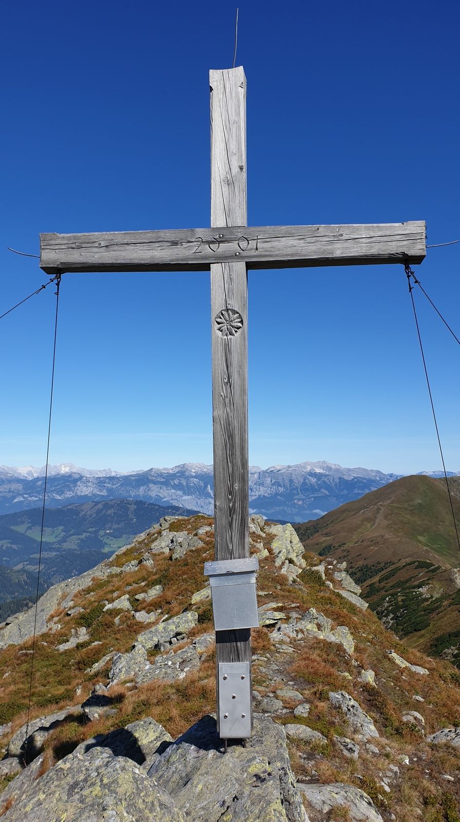
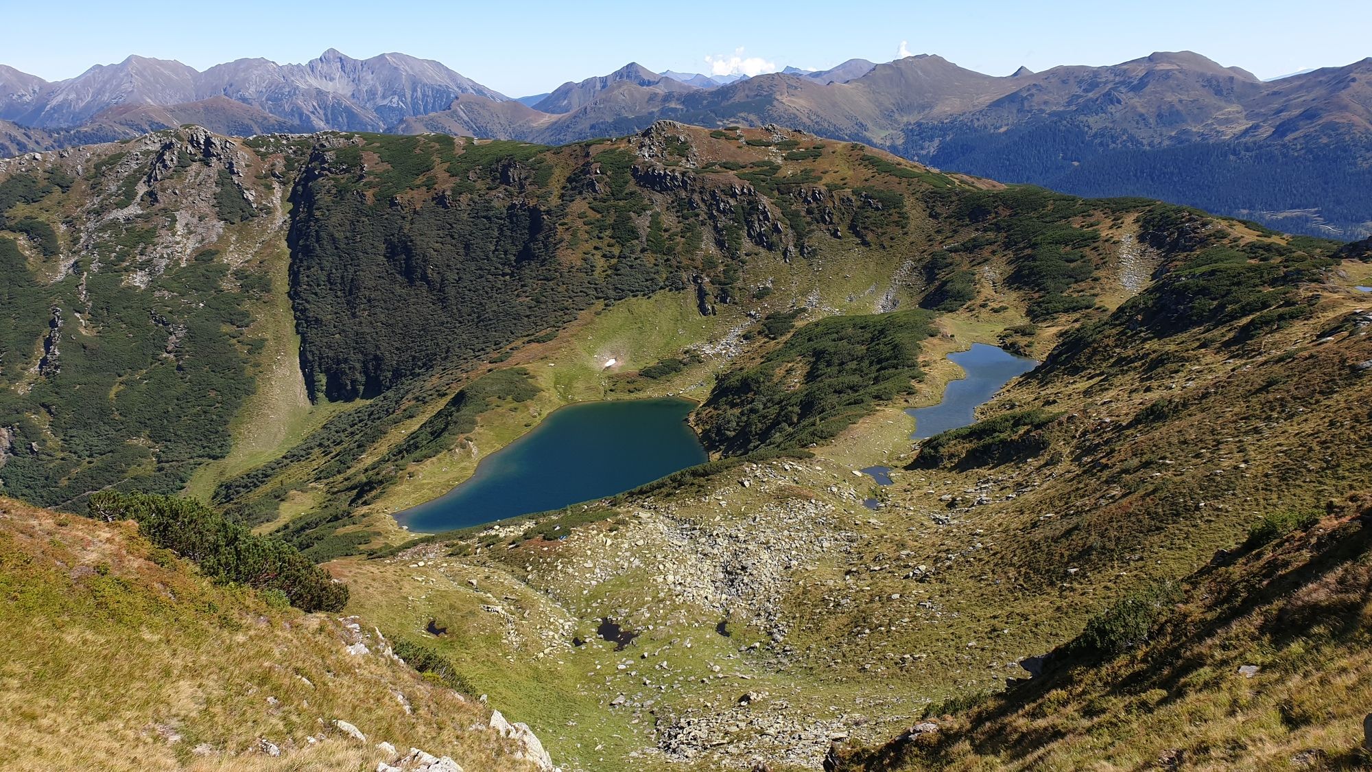
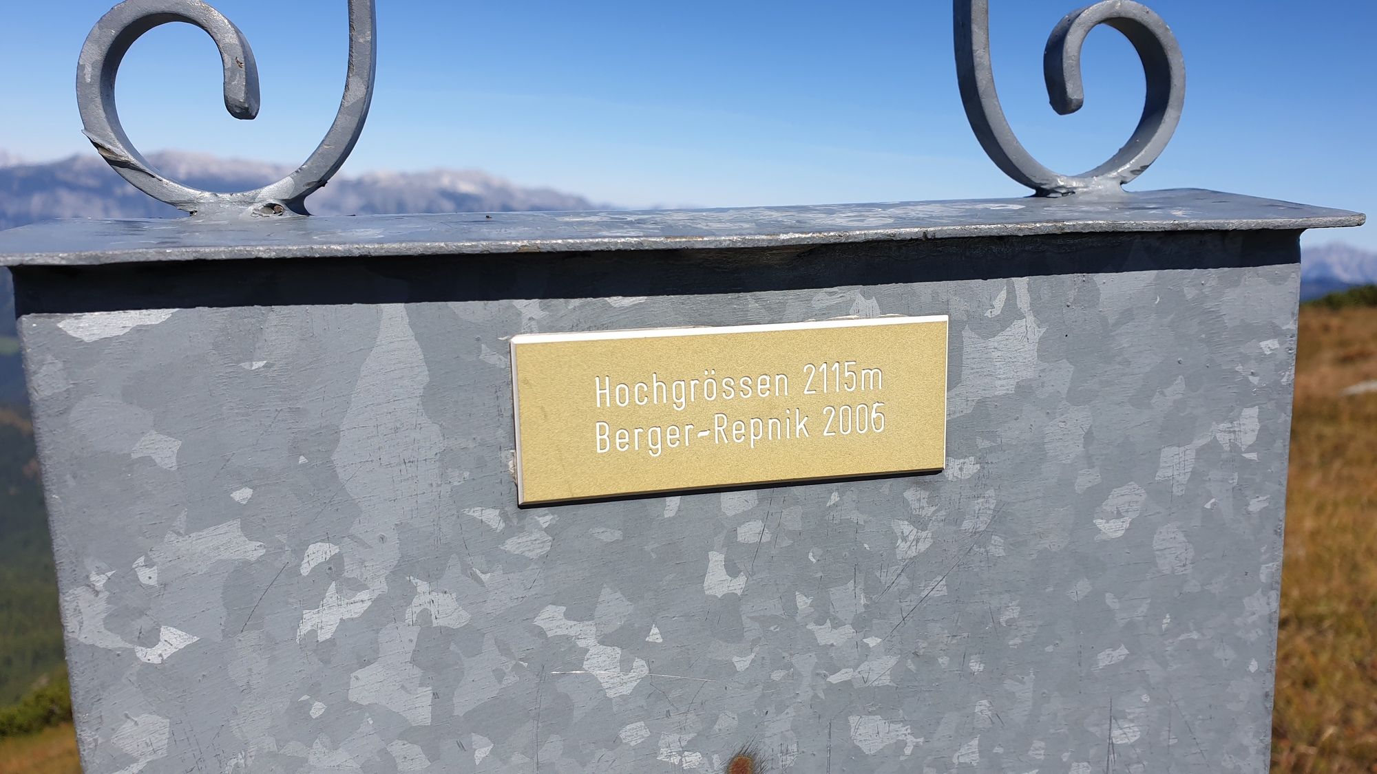
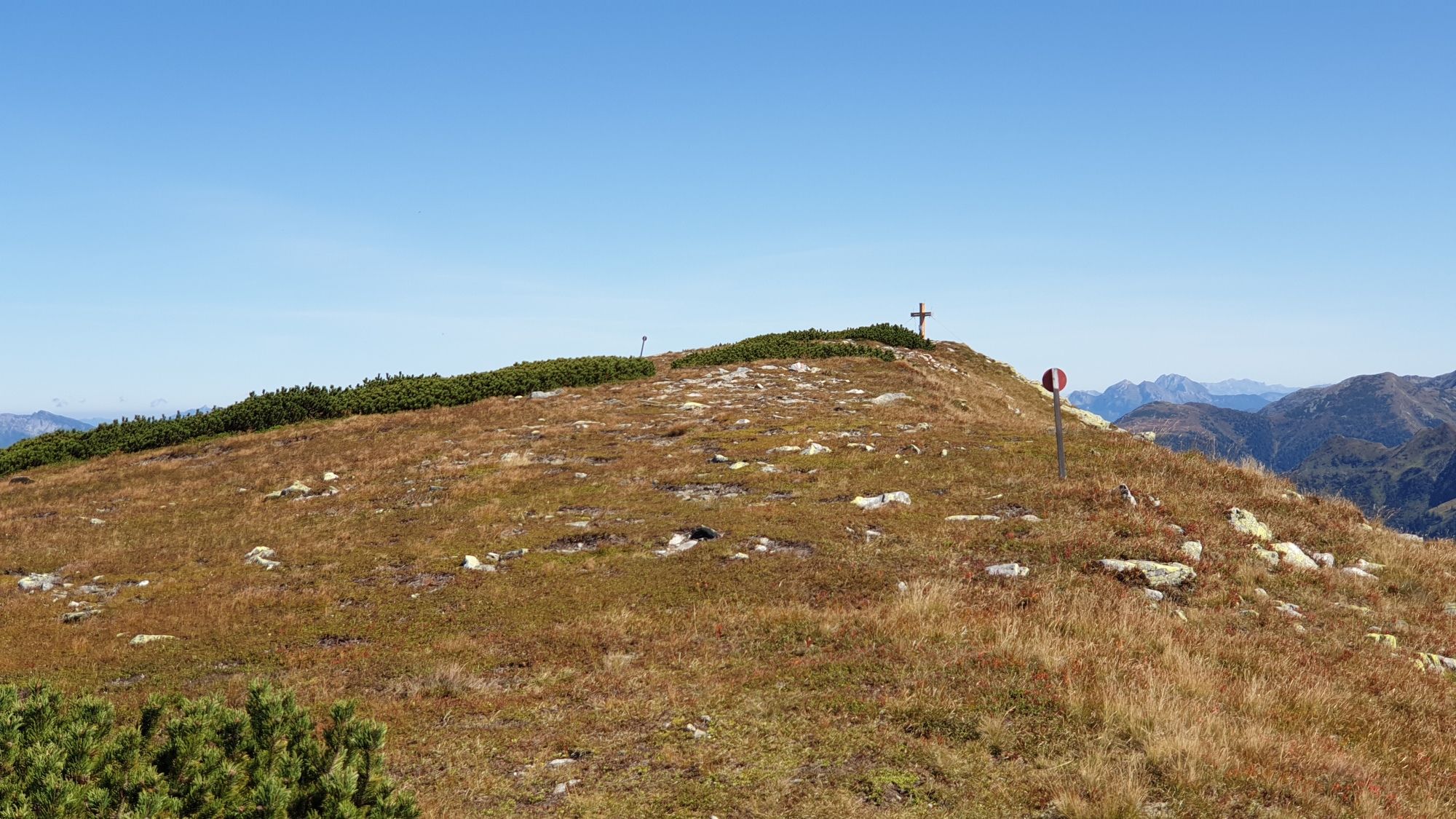
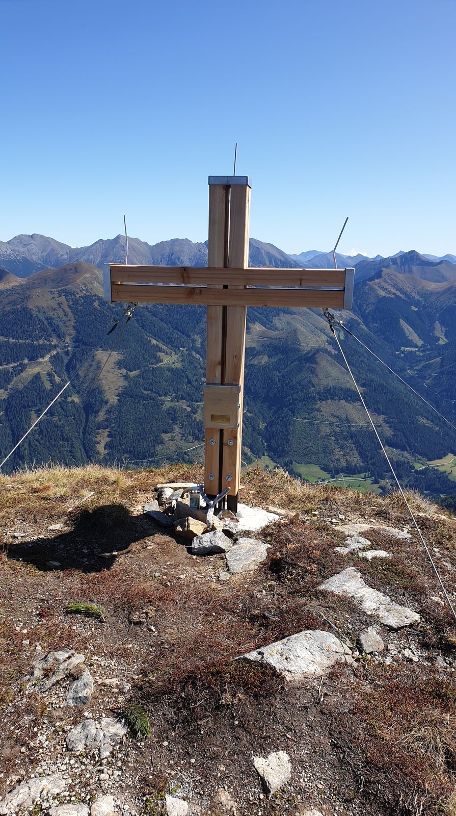
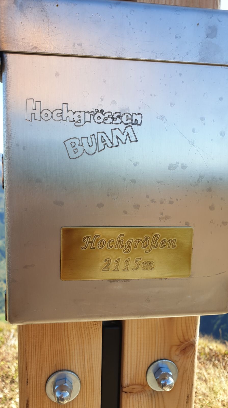
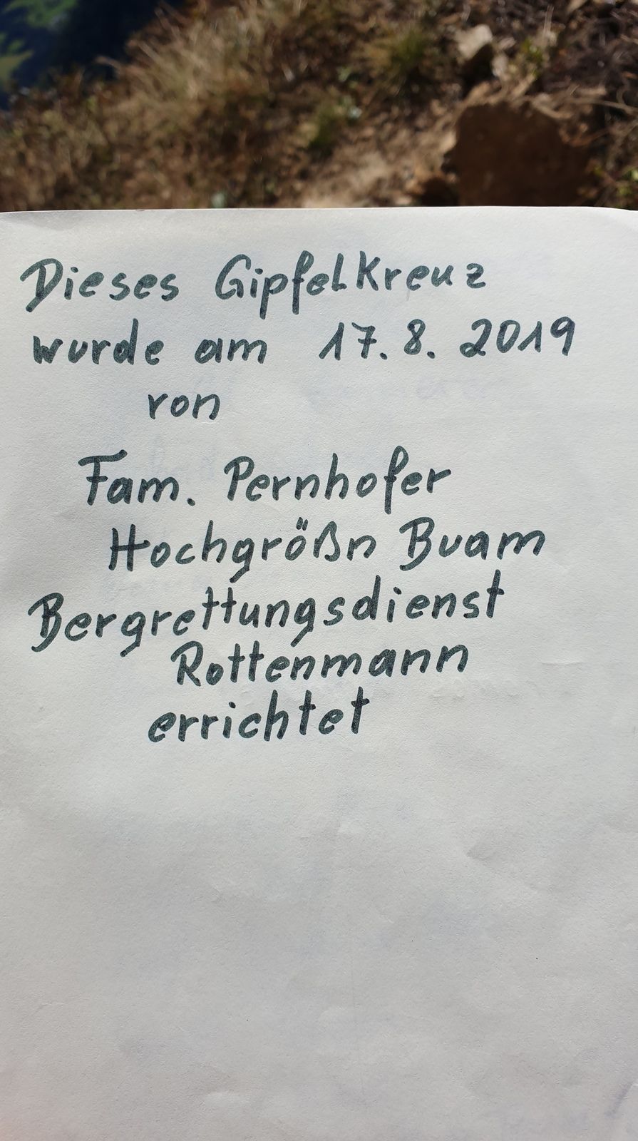
Hochrettelstein (2,220 m)3.3 kmScharfe Wand4.3 kmSeekoppe (2,150 m)5.3 kmRiednertörl (1,935 m)6.8 kmHochgrößen (2,115 m)8.0 km
- Highest point
- Hochrettelstein (2,220 m)
- Endpoint
-
Hochrettelstein, Seekoppe, Hochgrössen


- Source
- Bernhard Frosch
GPS Downloads


Trail conditions
Asphalt
Gravel
Meadow
Forest
Rock
Exposed
Other tours in the regions