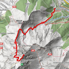

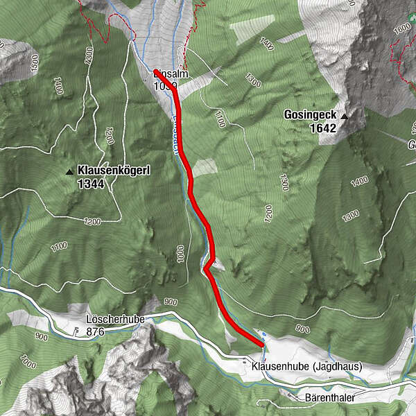
Tour data
1.96km
873
- 1,046m
189hm
189hm
04:30h
- Brief description
-
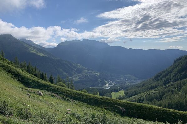
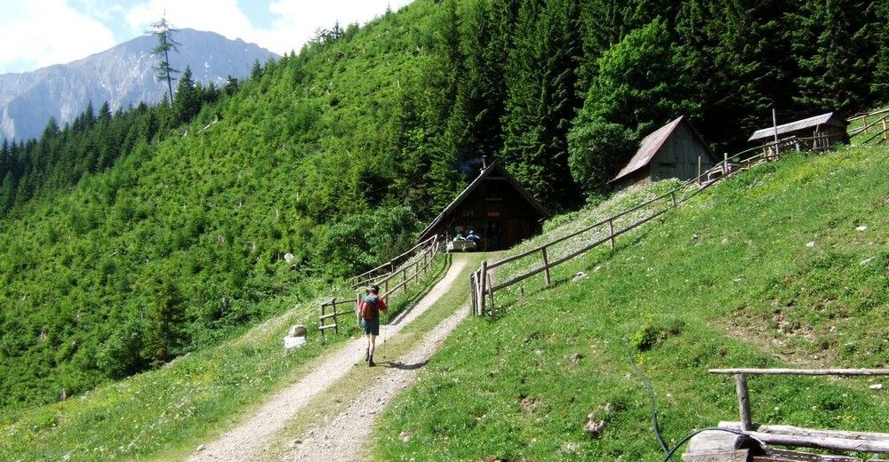
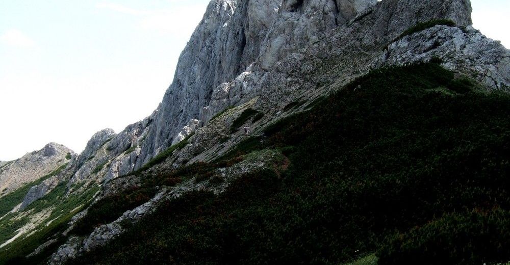
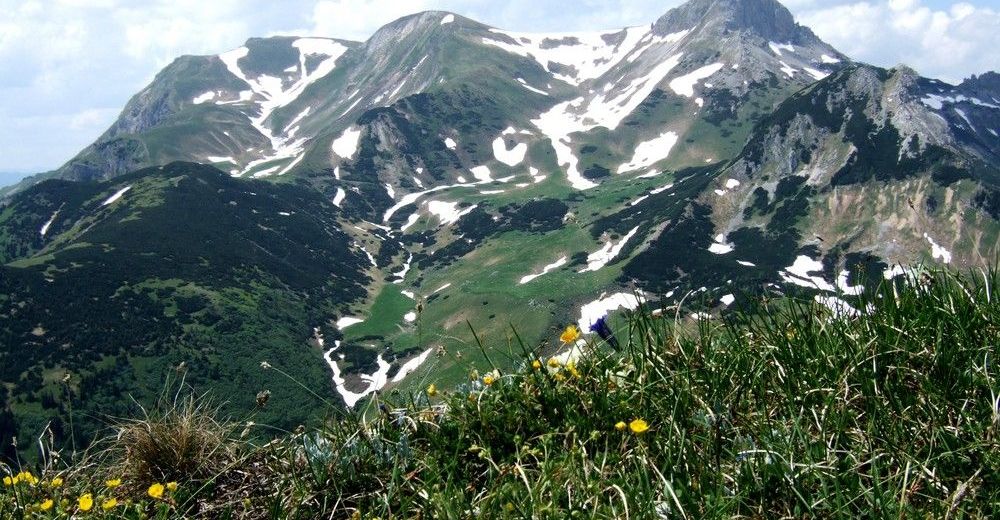
Murmeltierparadies
- Difficulty
-
easy
- Rating
-
- Starting point
-
Parkplatz Linsalm
- Highest point
- 1,046 m
- Rest/Retreat
-
Linsalm
- Ticket material
-
Österrr. Karte Nr. 132 Trofaiach


GPS Downloads


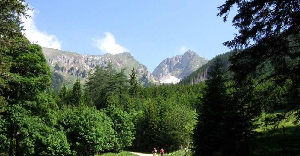
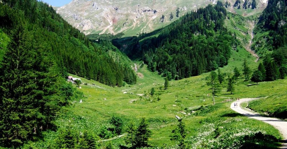
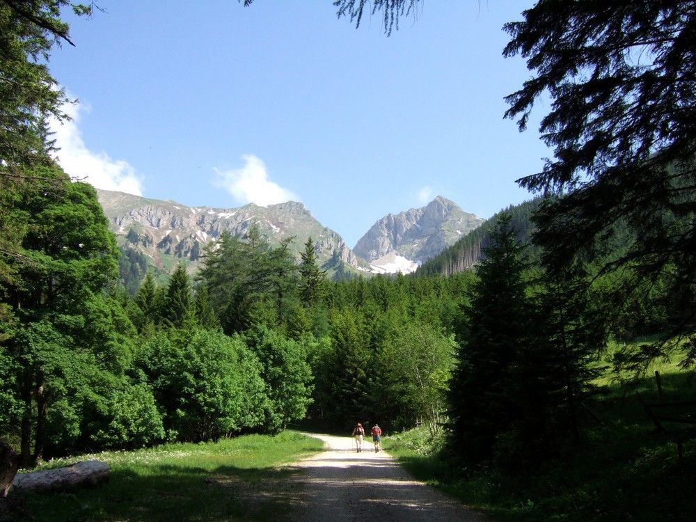
Trail conditions
Asphalt
Gravel
Meadow
Forest
Rock
Exposed
Other tours in the regions
-
Erzberg Leoben
2529
-
Hochschwab
1273
-
Präbichl
386