- Brief description
-
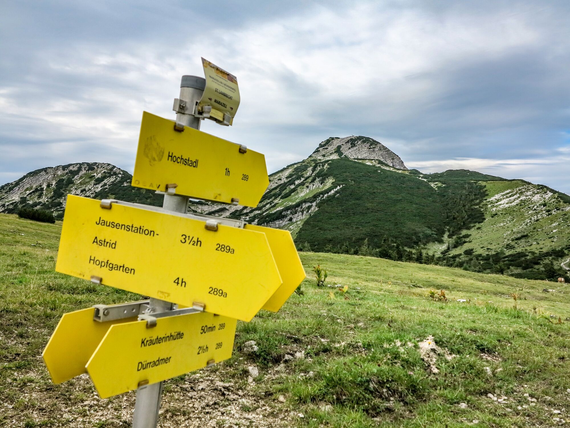
Easy hike from the Nappebachklause via the Kräuterinhütte to the highest peak of the Kräuterin mountain range, the Hochstadl.
- Difficulty
-
medium
- Rating
-
- Starting point
-
Dürradmer (Nappebachklause)
- Route
-
Nappenbachklause0.2 kmKräuterinhütte1.8 kmHochstadl (1,919 m)6.1 kmHochgruben8.3 kmRotmoos14.5 km
- Best season
-
JanFebMarAprMayJunJulAugSepOctNovDec
- Description
-
Easy hike from the Nappebachklause via the Kräuterinhütte where a stop for refreshments is recommended (approx. 3/4 hour).
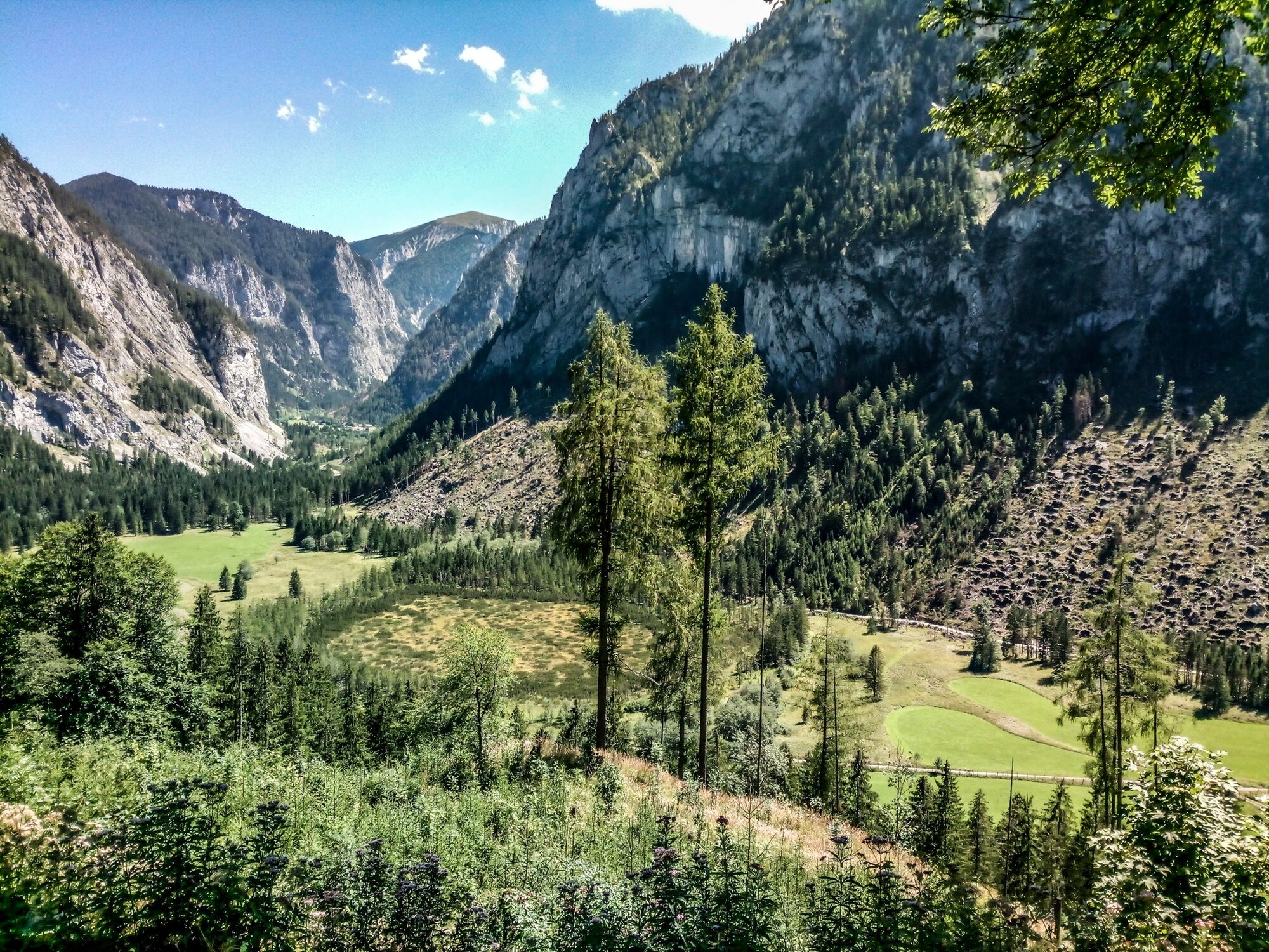
The ascent to the summit takes another 2 hours and is beautiful on alpine pastures with lots of grazing cattle.
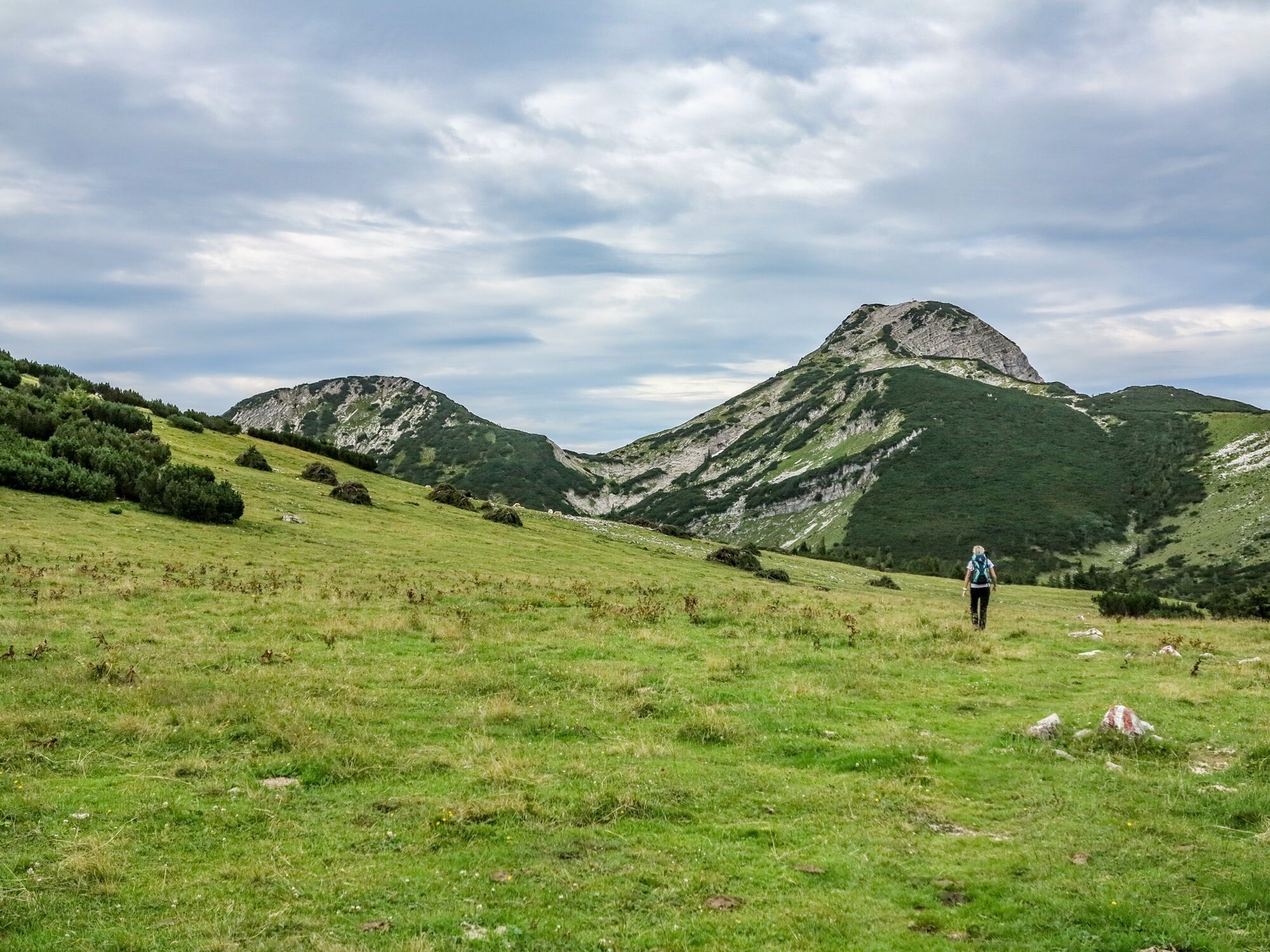
The last part to the summit is a bit difficult over rocks but worth every effort!
At the summit cross, walk a little south to the highest point and enjoy the beautiful view!
- Directions
-
Easy hike from the Nappebachklause via the Kräuterinhütte where a stop is recommended (approx. 3/4 hour).
The ascent to the summit takes another 2 hours and is beautiful on alpine pastures with lots of grazing cattle.
The last part to the summit is a bit difficult over rocks but worth every effort!
At the summit cross, walk a little further south to the highest point and enjoy the wonderful view!
On the descent after the summit slope, keep to the right (large arrow on rocks) which will take you to the right path (286).
to Rotmoos. On the plain we already see the first sign. After another 3 hours of following the signs, we reach the valley to Romoos, mostly on paths but also partly on forest roads.
- Highest point
- 1,914 m
- Endpoint
-
Rotmoos
- Height profile
-

- Equipment
-
Sturdy mountain boots or good trekking shoes, as well as hiking rucksack with appropriate contents (water bottle, first aid, hiking map,
sun protection, snacks, etc.). You should also be well equipped for a change in the weather. Mobile phone for emergency calls. Don't forget your hut sleeping bag for a possible overnight stay in the hut! As little as possible, as much as necessary
- Safety instructions
-
Emergency call mountain rescue: 140
Emergency reporting tip - give answers to the six W-questions: What happened? How many injured? Where did the accident happen (possibly GPS coordinates)? Who reported the accident (call-back number)? When did the accident happen? Weather at the accident site?
- Tips
-
In order to use the forest road from the Dürradmer to the Nappenbachklause, you must first purchase a permit from the Federal Forestry Office for € 15. This is available at the Leitner Inn in Greith.
- Additional information
-
Infobüro/Salza Wildalpen
Wildalpen 91 – 8924 Wildalpen Tel. 03636/241 infosalza@gesaeuse.at
Mo und Fr. 9:00-17:00
- Directions
-
B24 from Gusswerk through the Salzatal to Greith (GH Leitner). At the bridge over the Ramsaubach, turn off onto the gravel road to Dürradmer. Parking is possible after the bridge, 808 m.
In order to use the forest road from Dürradmer to Nappenbachklause, you must first purchase a permit from the Federal Forestry Office for € 15. This is available at the Leitner Inn in Greith.
- Public transportation
-
The best way to get there by public transport is to search for a connection in advance at:
www.oebb.at or www.verbundlinie.at
Taxi and car rental: Reinhold Missethon: Mobile 0043 (0) 650 3101020 or Mobile 0043 (0) 664 4520690
TAXI Johanna Werner, Tel. 0043 (0)3636 / 321 or 0043 (0)664 / 648 55 37
- Parking
-
At the end of the public road in Dürradmer.
In order to use the forest road from Dürradmer to Nappenbachklause, you must first purchase a permit from the Federal Forestry Office for € 15. This is available at the Leitner Inn in Greith.
There is also a nice car park at the Nappenbachklause.


-

-
AuthorThe tour Kräuterin Hochstadl Überschreitung is used by outdooractive.com provided.


General info
-
Erzberg Leoben
2529
-
Hochschwab
1273
-
Wildalpen
254