Tour data
12.3km
856
- 1,717m
822hm
03:00h
- Brief description
-
Nachmittagsausflug mit herrlichen Ausblick
- Difficulty
-
medium
- Rating
-
- Starting point
-
Parkplatz beim Kletterpark
- Route
-
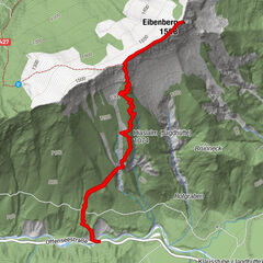
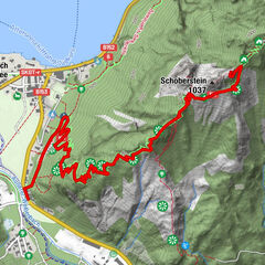
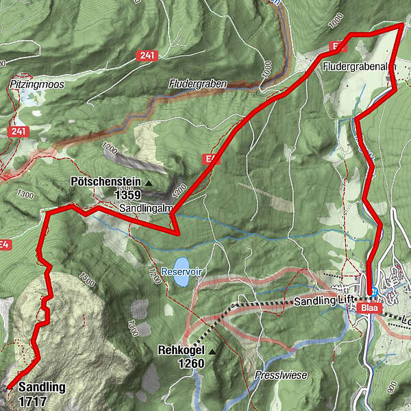
Blaa Alm1.3 kmAusseer Sandlingalm4.1 kmSandlingkuchl5.4 kmSandling (1,717 m)6.1 km
- Best season
-
JanFebMarAprMayJunJulAugSepOctNovDec
- Highest point
- Hoher Sandling (1,717 m)
- Endpoint
-
Höher Sandling
- Rest/Retreat
-
Blaa Alm;
GPS Downloads


Trail conditions
Asphalt
Gravel
Meadow
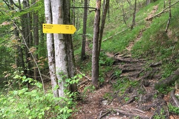
Forest
Rock
Exposed
Other tours in the regions
-
Salzkammergut Oberösterreich
3078
-
Bad Ischl
1644
-
Altaussee
298