- Brief description
-
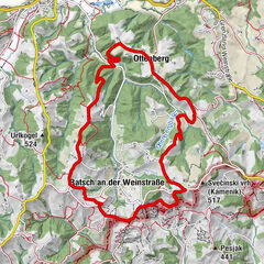
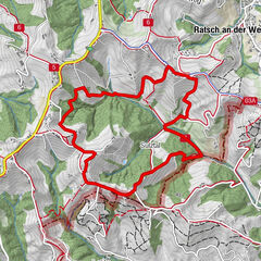
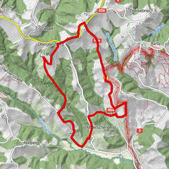
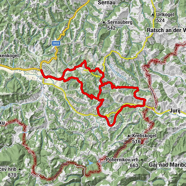
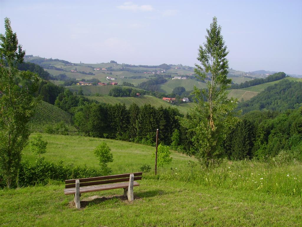
The Glanzer Hoftour trail is 22.1 km long and can be hiked in one complete stretch or in two stages.
- Difficulty
-
medium
- Rating
-
- Starting point
-
Signposted car parking
- Route
-
Leutschach an der WeinstraßeHl. Nikolaus0.0 kmLandgasthaus Jägerwirt2.5 kmFötschach2.7 kmEorykogel7.3 kmEory-Schenke am Pössnitzberg7.5 kmKapelle8.6 kmKreuzwirt am Gut Pössnitzberg9.0 kmLangegg12.6 kmBuschenschank Schantlhof13.2 kmHubertuskapelle14.5 kmBuschenschank Alte Stub´n Kalischnik15.3 kmLeutschach an der Weinstraße23.0 kmHl. Nikolaus23.2 km
- Best season
-
JanFebMarAprMayJunJulAugSepOctNovDec
- Description
-
No matter whether you prefer to take on the challenge in two stages or in a different variant, the Glanzer Hoftour passes many interesting (wine-growing) estates and farms, and connects a large number of hosts and numerous other Wine Trails with one another.
- Directions
-
The route runs along surfaced roads, forest and meadow trails, and through vineyards.
Starting from the Ratscher Landhaus hotel, hike north or towards the Buschenschank Pilch guesthouse. Passing the Weingut Schwarzl wine estate, follow the road towards the town of Unterranzried. From here, a meadow trail runs up to Wielitsch, to the Grabschneider/Wieltischkapelle chapel. Hike over the ridge, following the road to the Ledinegg orchard, where a forest trail runs down to the Mori car park (Bochhansl restaurant). Then it's onwards through the cool leafy forest up to the Lindenburg winery (run by the Stelzl family). The trails continues between vineyards and forests to the Weingut Wolfgang Maitz wine estate i.e. the Maitz Urbanikeller. Continue along a short stretch of road passing the Weingut Buschenschank Kögl tavern/winery, before heading up and down through the vineyards towards the Buschenschank Zweytick Robert and Susi tavern. From here, hike along the South Styrian Wine Road (on the pavement running parallel) to the "Styria Bench" at the Weingut Bullmann wine estate. Via a cul-sac-road, head towards Rebenhof. This final ascent is rewarded with a wonderful view, before you head back to the starting point.
- Highest point
- 466 m
- Endpoint
-
Signposted car parking
- Height profile
-

- Equipment
-
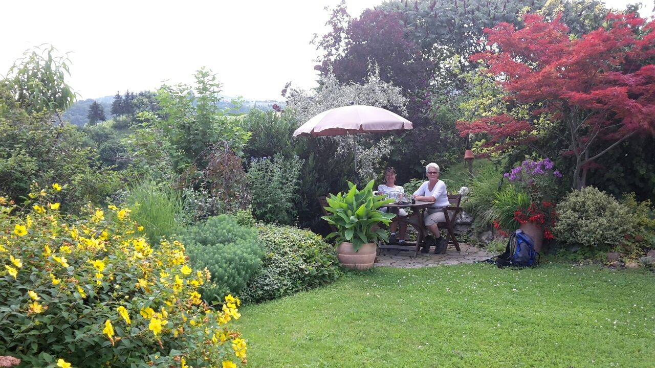
Comfortable hiking footwear is recommended. It is possible to go "hiking without a backpack" on the Wine Trails on the South Styrian Wine Road, but we still recommend taking a bottle of water with you – just in case!
- Safety instructions
-
Emergency number Red Cross: 144
Emergency number mountain rescue: 140
- Tips
-
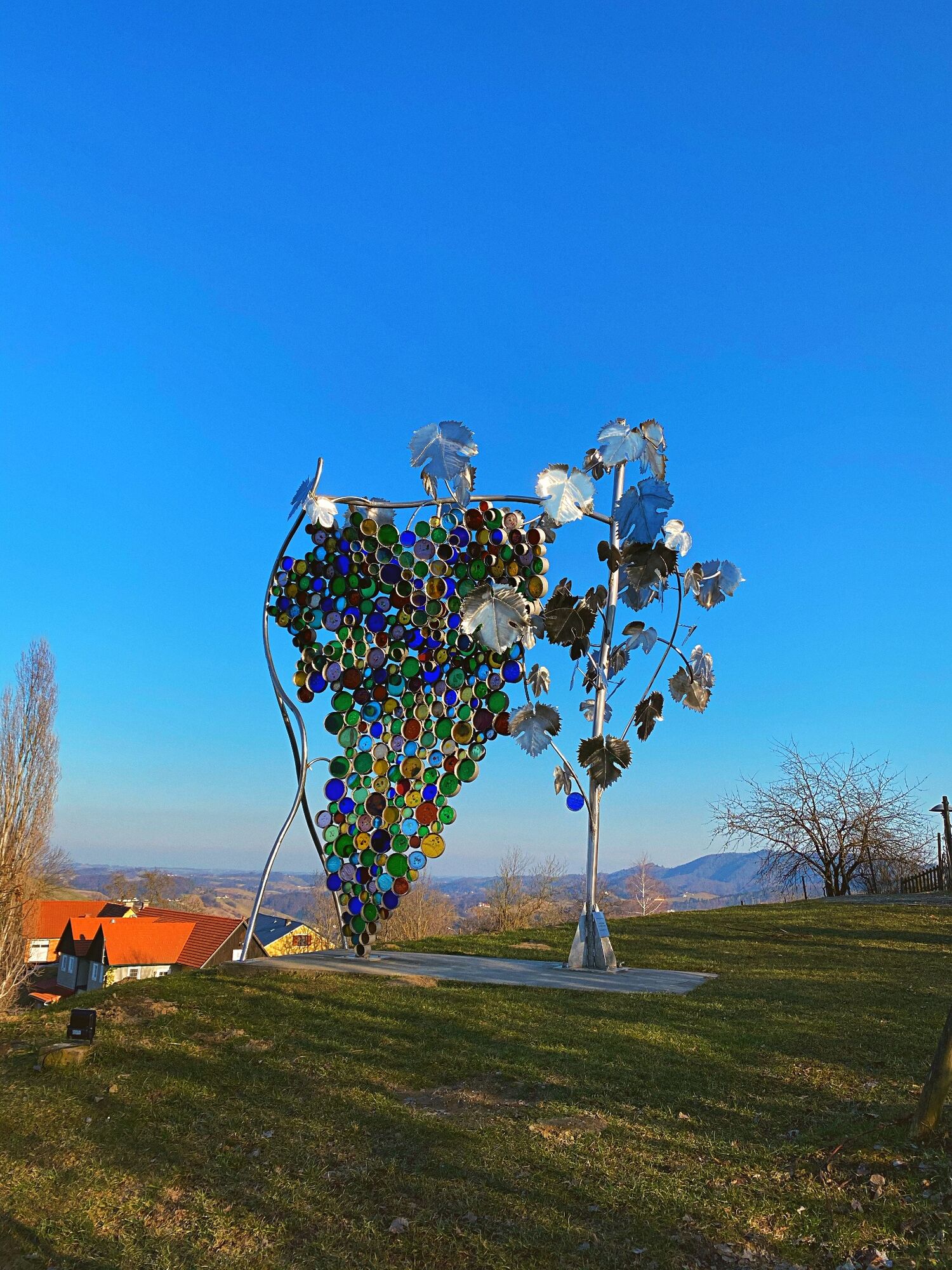
A visit to the largest glass bunch of grapes on the Eorykogel – enjoy the fantastic view!
- Additional information
- Directions
- Public transportation
- Parking
-
Signposted car parking facilities are available in the centre of Leutschach, on the Eorykogel and in Langegg.
- Author
-
The tour Glanzer Hoftour hiking trail is used by outdooractive.com provided.


General info
-
Südsteiermark
1132
-
Maribor-Pohorje
261
-
Leutschach an der Weinstraße
259