
- Brief description
-
Easy-to-manage, sunny hike in mostly open terrain with a panoramic view.
- Difficulty
-
medium
- Rating
-
- Starting point
-
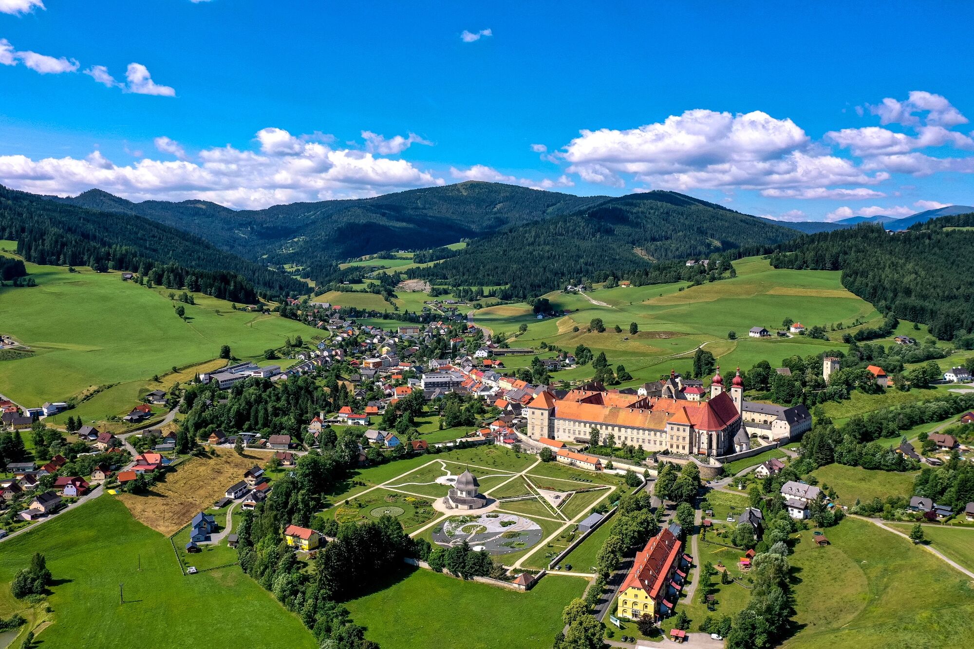
Abbey Gate St. Lambrecht
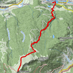
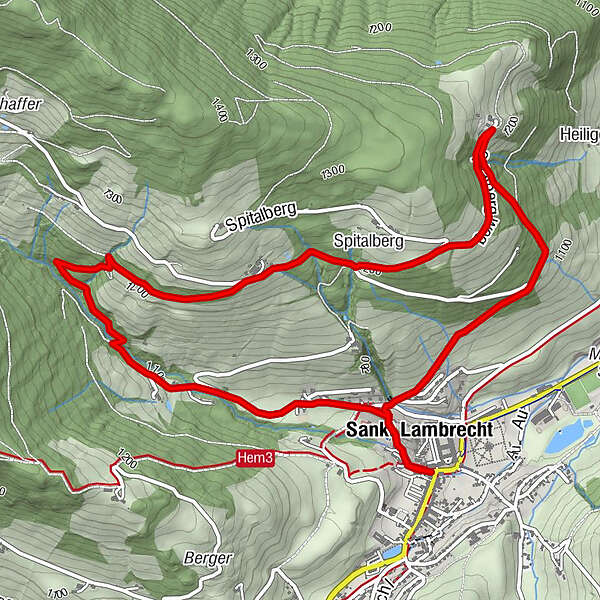
- Route
-
StifterlTorwirtMarktcaféSankt Lambrecht0.2 kmSpitalberg3.0 kmSankt Lambrecht6.6 kmStifterl6.9 kmMarktcafé6.9 kmTorwirt6.9 km
- Best season
-
JanFebMarAprMayJunJulAugSepOctNovDec
- Description
-
Designated as a natural monument, the gorge in St. Lambrecht is only a few minutes away from the monastery. Created during the Ice Age, it is now an ecological gem with special rock and plant species. Display boards document the formation of the gorge and geological features.
- Directions
-
As the name suggests, this hike is always on the sunny side. After the start, the path leads past the lower part of the gorge and further up to the Koglbauer. After a hairpin bend you go slightly downhill again, along the Spitalberg, towards Karchauer Eck. After passing the upper entrance to the gorge, the hike runs along the edge of the forest down towards Kühbach. The last part of the tour promises to cool you down, first through the forest and then along the cool stream bed back to St. Lambrecht.
- Highest point
- 1,234 m
- Endpoint
-
Abbey Gate St. Lambrecht
- Height profile
-

- Equipment
-
Good shoes
Sun protection
Sufficient food - Additional information
-
The ideal time for this tout is from April to October.
- Directions
-
By car from Germany
From Munich via the A8 towards Salzburg. From Salzburg on the A10 Tauernautobahn to St. Michael im Lungau. On the B 96 to Tamsweg, then on the B 95 to Predlitz. The B 97 leads via Stadl/Mur to Murau. There at the roundabout towards St. Lambrecht to Murauer train station and further towards St. Lambrecht. You reach St. Lambrecht via Laßnitz near Murau. The monastery is located in the town center.Arrival from Eastern Austria/Hungary
At the motorway junction in St. Michael near Leoben, take the S 36 towards Klagenfurt. Past Knittelfeld and Judenburg to Scheifling. In Scheifling continue towards Klagenfurt to Neumarkt, via Unzmarkt and Perchau am Sattel you reach Neumarkt. Turn right there towards Mariahof and St. Lambrecht. In Mariahof, after the railway crossing, turn left towards St. Lambrecht. The monastery is located in the center of St. Lambrecht.Arrival from southern Austria/Italy
Via Klagenfurt on the S 37 past St. Veit/Glan, Treibach and Friesach. In Friesach continue towards Vienna, via Dürnstein and Wildbad to Neumarkt. After the town center of Neumarkt turn left towards Murau, in Mariahof turn left after the railway crossing towards St. Lambrecht. The monastery is located in the center of St. Lambrecht. - Public transportation
-
With the BusBahnBim app from the interconnected line, timetable information is easier than ever before: all bus, train and tram connections in Austria can be queried by entering locations and/or addresses, stops or important points. The app is available as a free app for smartphones (Android, iOS) - on Google Play and in the App Store.
- Parking
-
Public parking spaces are available near the town entrance sign, the monastery entrance or at the market pond.


- Author
-
The tour Sunny way is used by outdooractive.com provided.