
- Brief description
-
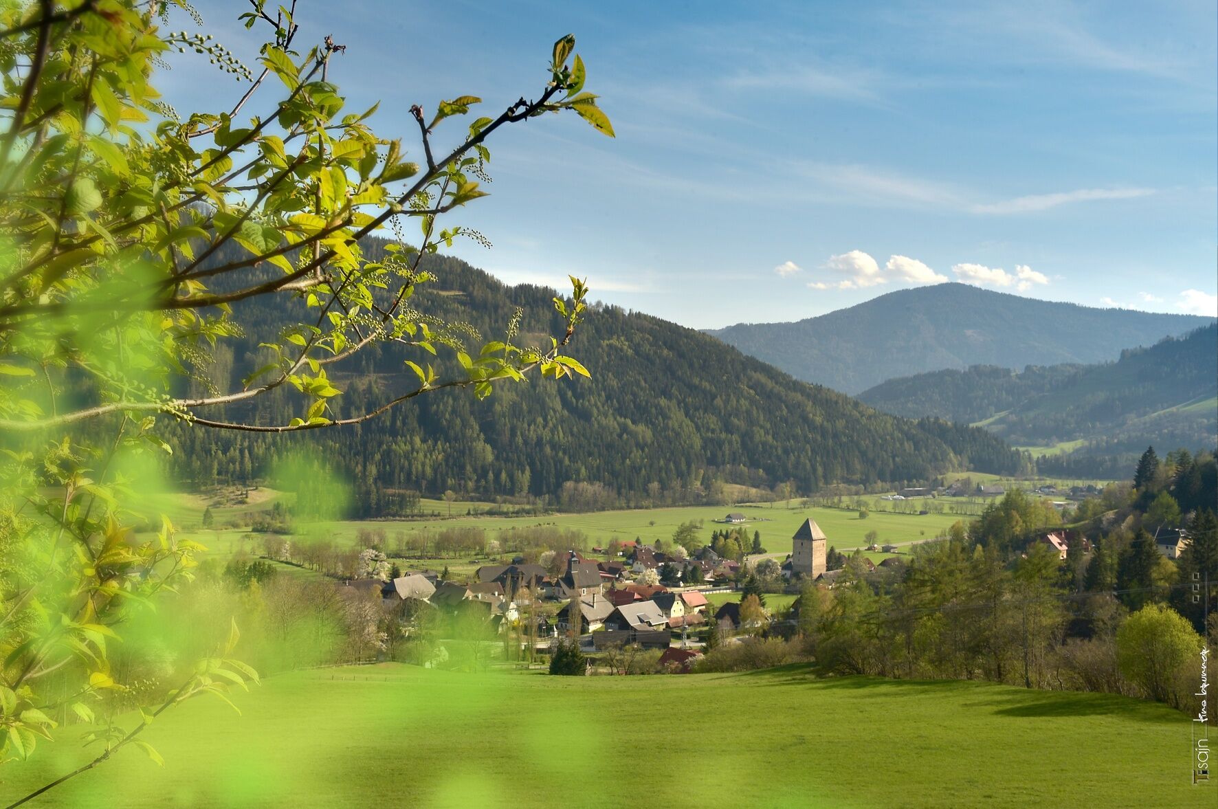
This is a moderately difficult hike around Baierdorf and Feistritz.
- Difficulty
-
medium
- Rating
-
- Starting point
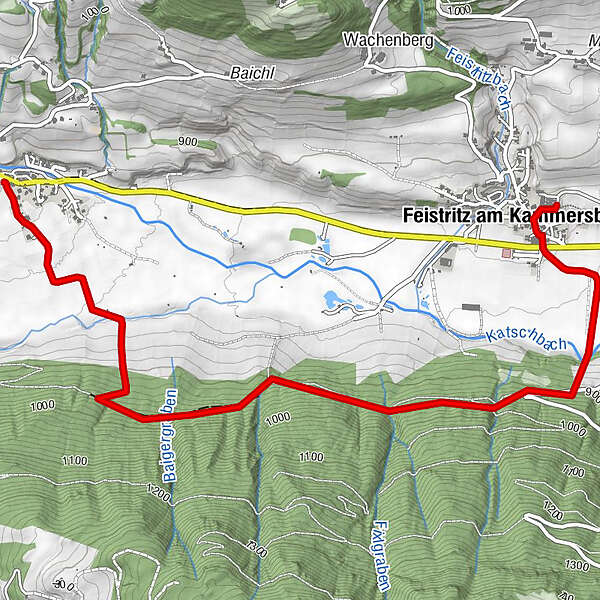
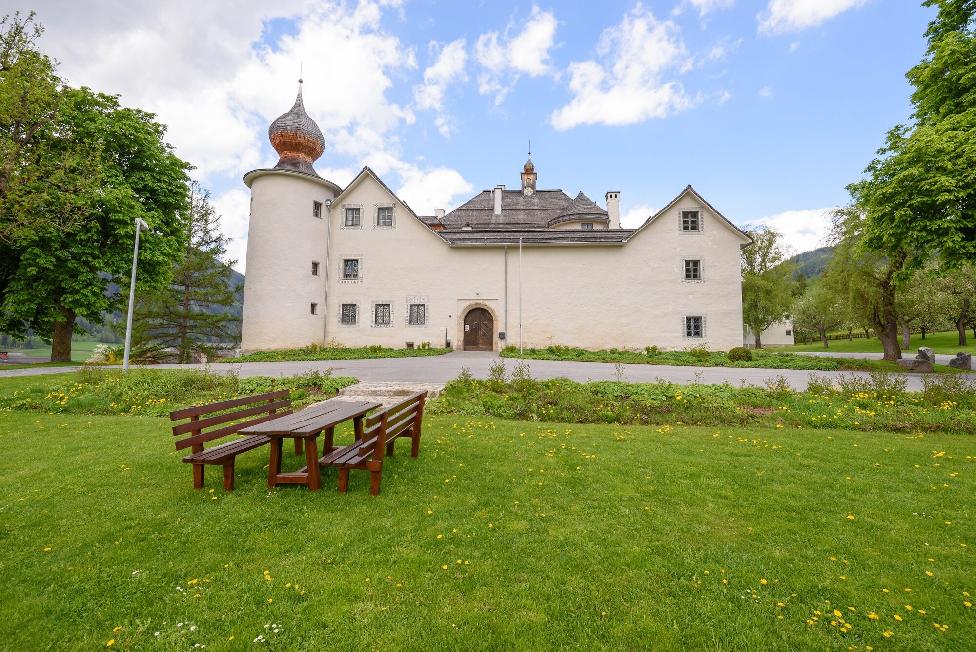
-
Feistritz Castle
- Route
-
Feistritz am Kammersberg0.1 kmNeuwirt4.5 kmBaierdorf4.6 km
- Best season
-
JanFebMarAprMayJunJulAugSepOctNovDec
- Description
-
Explore the landscape around Baierdorf and Feistritz and discover one or two benches to really relax. The hike is also off the road and therefore runs in the middle of nature.
- Directions
-
From the starting point S6, follow the signs through the town of Feistitz and cross the state road towards Katschbach. Continue over the Katschbach and along the signs towards "Kretzenbründl" - stage 5. You continue on a beautiful forest path towards Baierdorf to Gasthof Neuwirt a - starting position S7. Here you turn around and walk the same way back to the starting point at Feistritz Castle.
- Highest point
- 979 m
- Endpoint
-
Feistritz Castle
- Height profile
-

- Equipment
-
Good shoes
Sun protection
Sufficient food - Additional information
-
The ideal time for this tour is from April to November.
- Directions
-
Coming from Judenburg via Unzmarkt to Scheifling. Turn right here towards Murau. In Katsch an der Mur keep right and drive to Feistritz.
Coming from Tamsweg via Ranten (or Stadl an der Mur) to Schöder and continue to Feistritz.
- Public transportation
-
With the BusBahnBim app from the interconnected line, timetable information is easier than ever before: all bus, train and tram connections in Austria can be queried by entering locations and/or addresses, stops or important points. The app is available as a free app for smartphones (Android, iOS) - on Google Play and in the App Store.
- Parking
-
Public parking spaces are available directly at Feistritz Castle.
- Author
-
The tour Feistritzer round is used by outdooractive.com provided.