- Brief description
-
Family-friendly circular walk over small bridges and footbridges.
- Difficulty
-
easy
- Rating
-
- Starting point
-
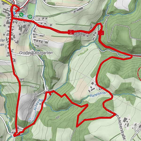
Strallegg village square
- Route
-
Pfarrkirche hl. Johannes der TäuferGasthaus Mosbacher0.1 kmStrallegg0.1 kmStrallegg5.5 kmGasthaus Mosbacher5.5 kmPfarrkirche hl. Johannes der Täufer5.6 km
- Best season
-
JanFebMarAprMayJunJulAugSepOctNovDec
- Description
-
The Lechnergrabenweg No. 7 is a circular hiking trail where you often cross and pass a romantic torrent via smaller bridges or footbridges. This hiking trail is therefore highly recommended, especially for families.
Circular hiking trail no. 7
- Directions
-
We start in the centre of the village at the information board and walk past the village lime tree in the direction of Miesenbach, following the yellow marking no. 7. After about 30 minutes, we reach the turnoff to Lechner-Graben, where the trail descends slightly through the forest to the ice and asphalt facility with a rustic ice hut. After an hour, we cross the romantic Arbesbach and hike through an idyllic tunnel-like young forest with an intense smell of mushrooms and herbs. At the "Nazl i. d. Mühl" estate, we turn right and follow the ascending hiking trail back to the starting point, the flower and herb village of Strallegg.
- Highest point
- 873 m
- Endpoint
-
Strallegg village square
- Height profile
-

- Equipment
-
Small backpack with water bottle (+ provisions)
Sturdy shoes
Appropriate clothing - if possible several layers - "onion principle".
Rain and sun protectionWalking sticks as required
Mobile phone
Small first aid kit
Route description
Before starting the hike, check the possibilities for refreshments, including opening times, or pack appropriate food and drink.
- Safety instructions
-
European emergency call: 112
Emergency call mountain rescue: 140 (if possible please provide GPS data)
Rescue: 144
Fire brigade: 122
Police: 133
A few tips on correct and fair behaviour in the forest: (Source: www.bundesforste.at )
Hikers should avoid visits to the forest about 1.5 hours before sunrise and after sunset, as wild animals are particularly active during this time.
Plastic bottles, handkerchiefs, cigarette butts etc. have no place in the forest! Please make sure that you do not leave any rubbish in the forest.
Camping and lighting fires are strictly forbidden in the forest!
In principle, every person is allowed to pick 2 kg of mushrooms and berries per day for personal use. It is only prohibited if the forest owner expressly forbids it.
- Tips
-
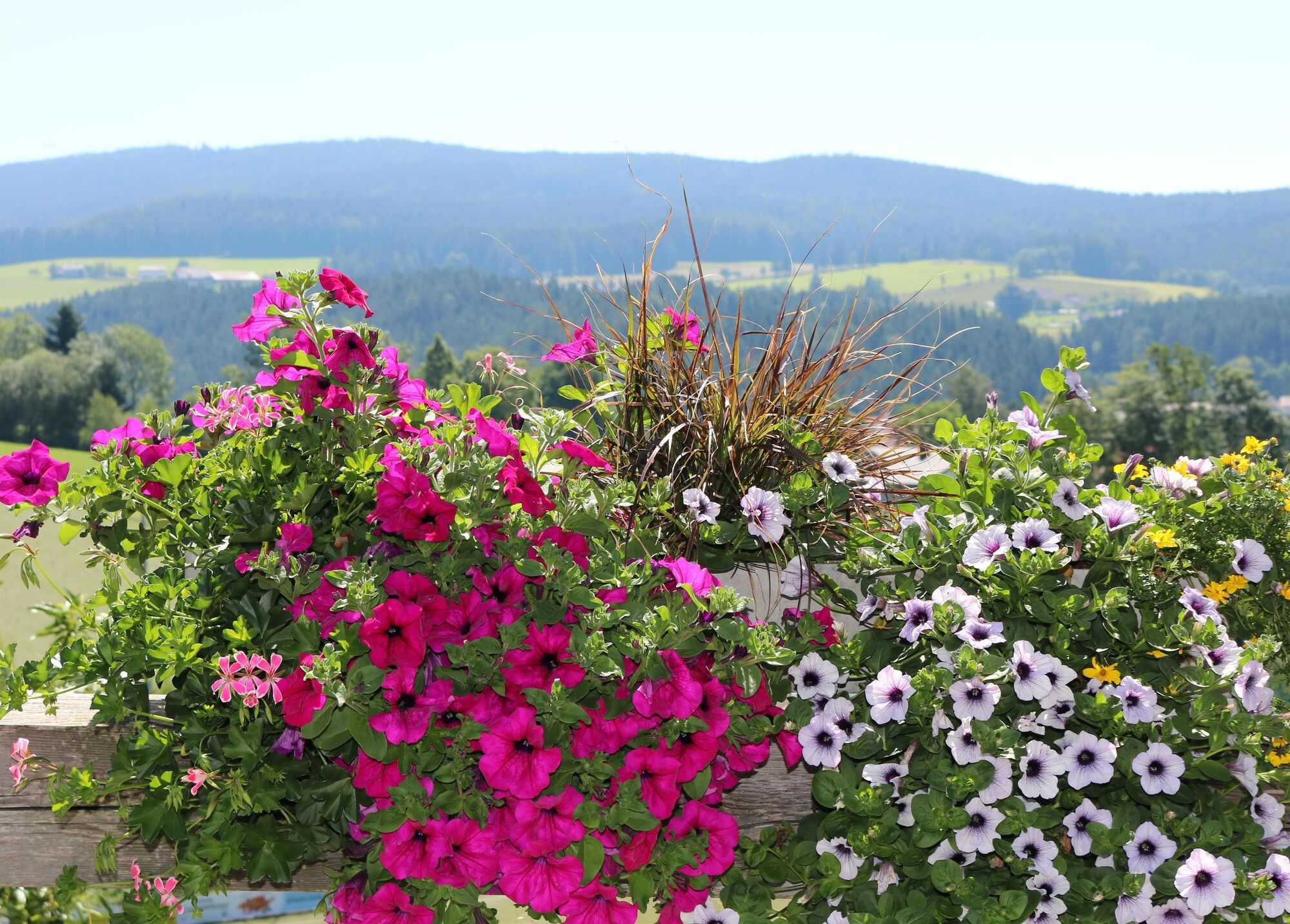
Visit the flower village of Strallegg in summer.
- Additional information
-
You can find information about the region, places to stop and stay overnight, excursion destinations, etc. here:
Eastern Styria Tourism Association
Joglland-Waldheimat office
8255 St. Jakob im Walde
Tel.: 03336/20255
info@joglland.at
www.joglland-waldheimat.at
Eastern Styria
current weather
Mobility Eastern Styria with shared taxi SAM
- Directions
- Public transportation
-
Timetables and travel information can be found at Österreichische Bundesbahnen (ÖBB) or at Verkehrsauskunft Verbundlinie. For local transportation we recommend the SAM-Sammeltaxi Oststeiermark.
- Parking

- Author
-
The tour Lechner Graben - Wildbachlweg, Strallegg is used by outdooractive.com provided.


-
Hochsteiermark
4072
-
Joglland - Waldheimat
1511
-
Strallegg
331