- Brief description
-
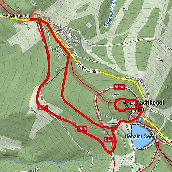
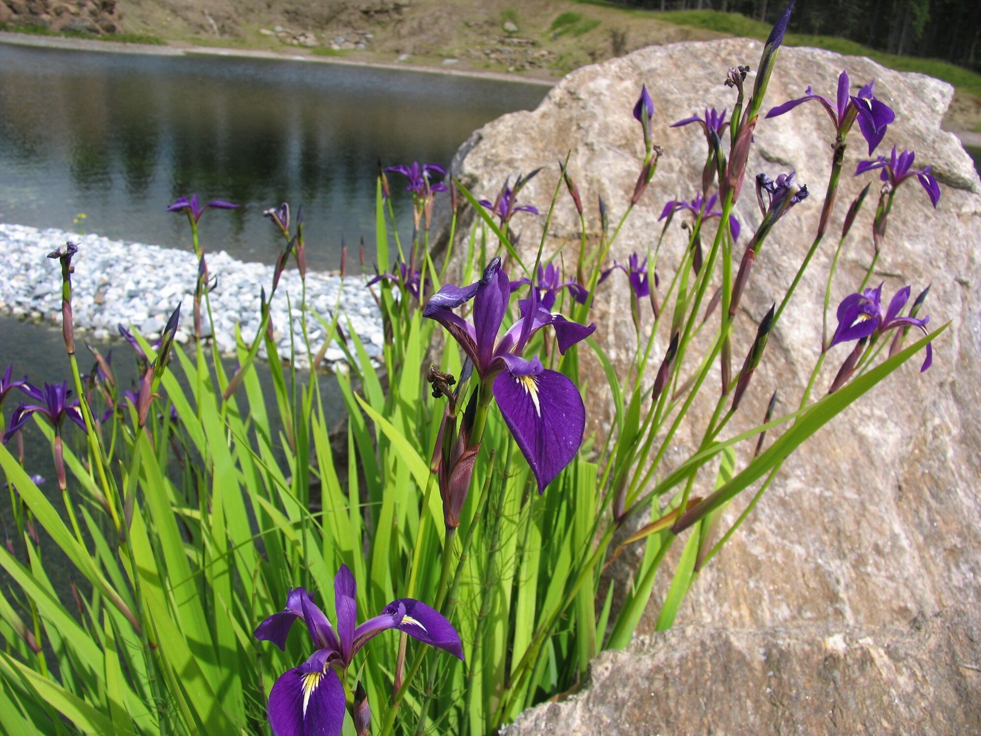
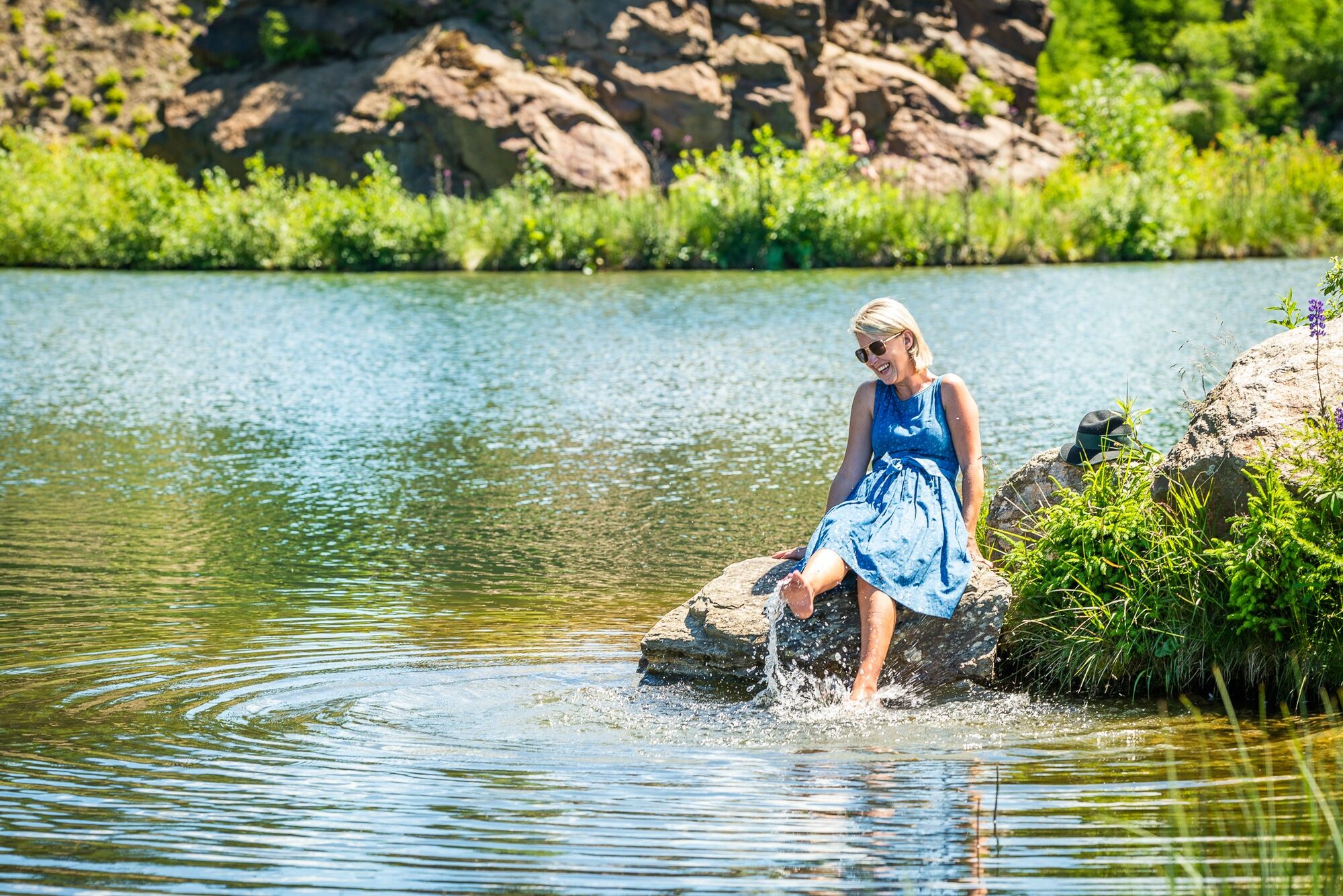
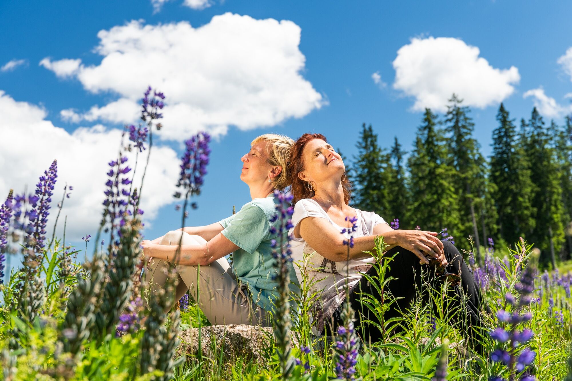
The circular lake trail on the Hebalm connects the Hebalmsee lake with the Dom des Waldes. This ideal afternoon excursion for families with children shows the diverse landscape on the border between Carinthia and Styria.
- Difficulty
-
easy
- Rating
-
- Starting point
-
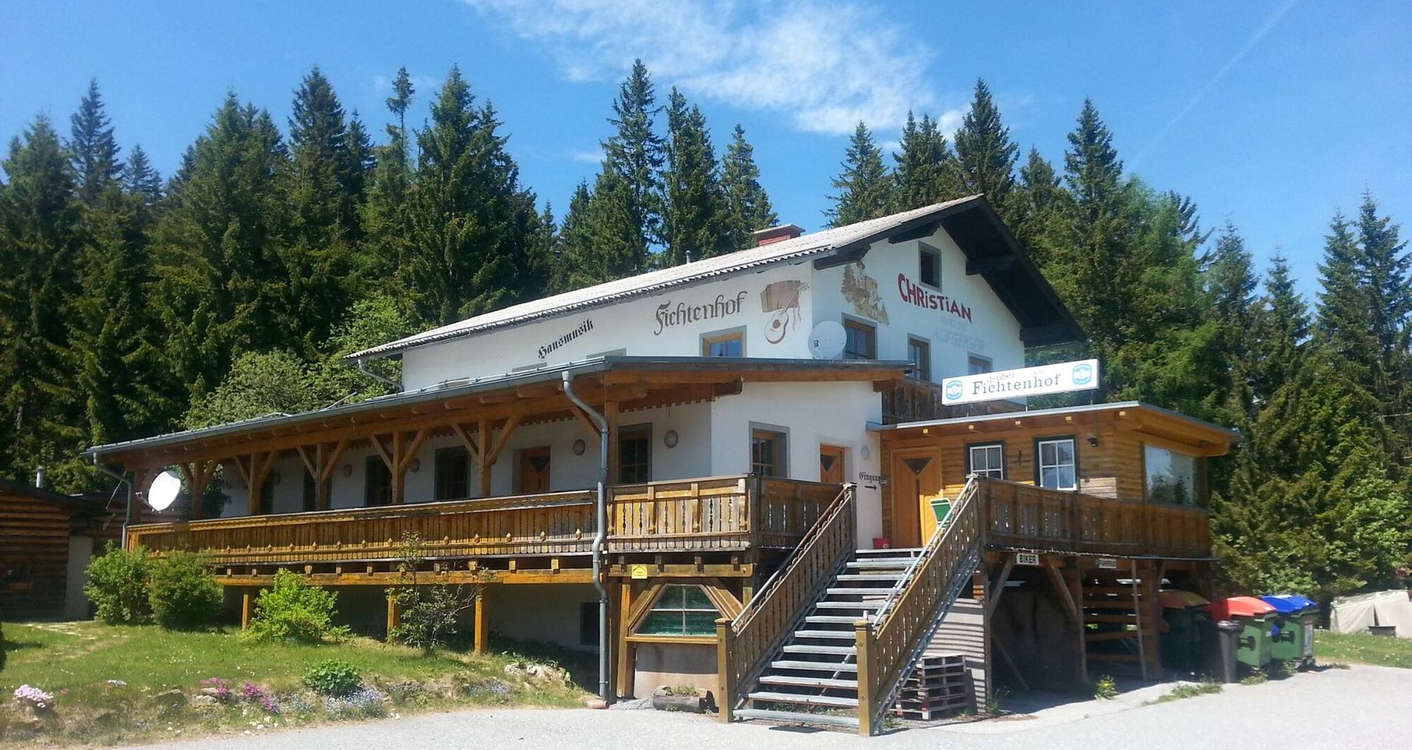
Hebalm, parking lot
- Route
-
Fichtenhof und Hebalmranch0.0 kmLubachkogel (1,410 m)2.4 kmFichtenhof und Hebalmranch3.9 km
- Best season
-
JanFebMarAprMayJunJulAugSepOctNovDec
- Description
-
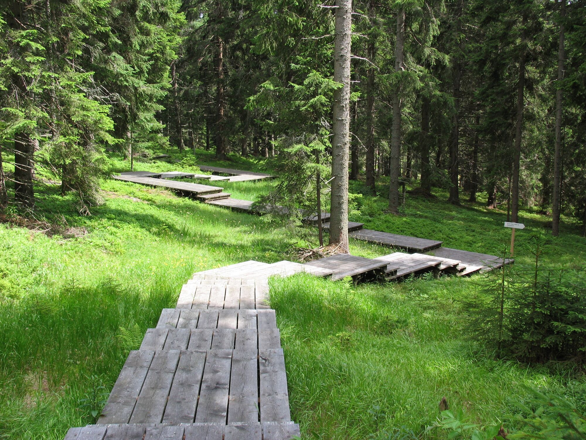
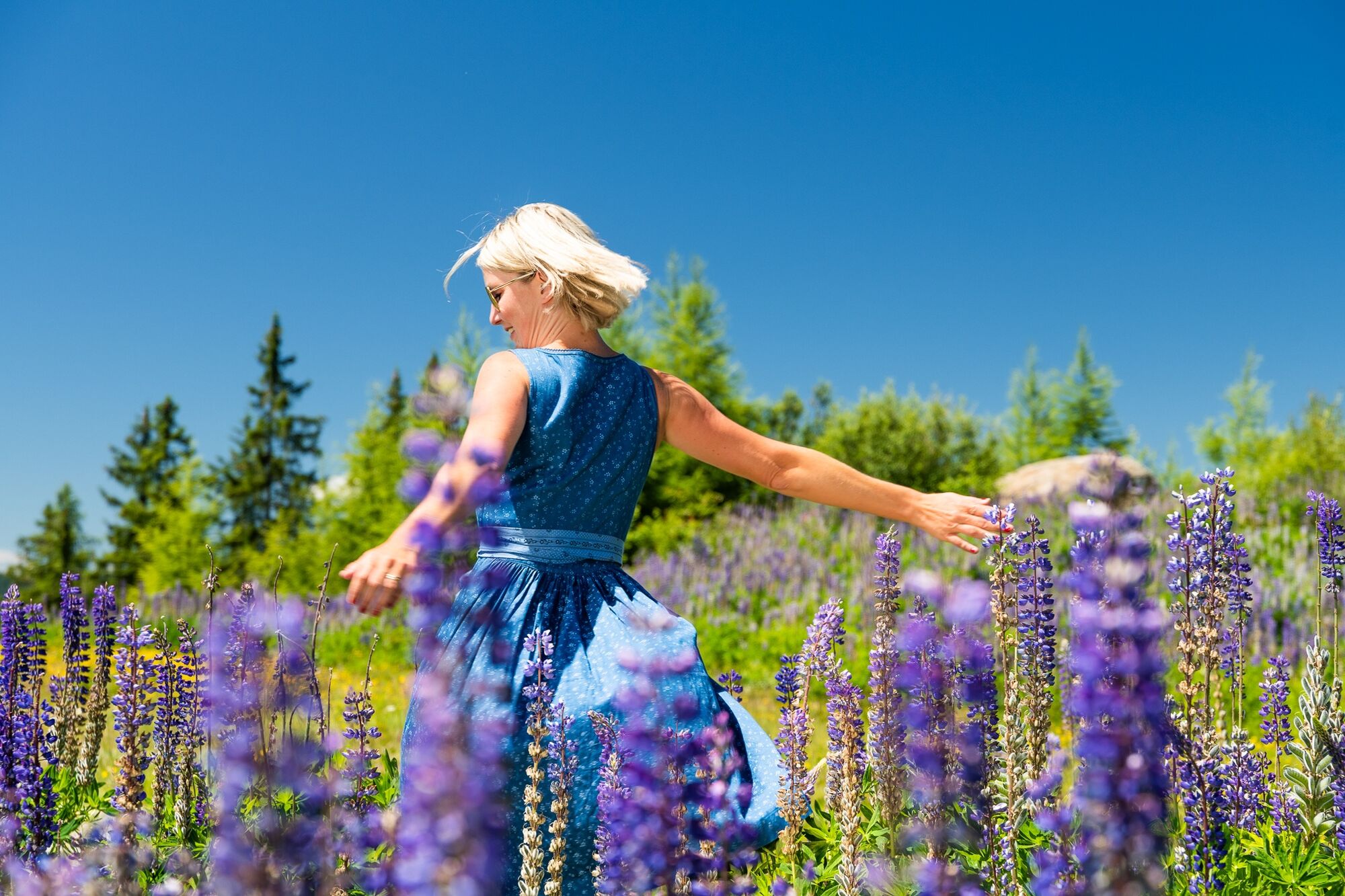
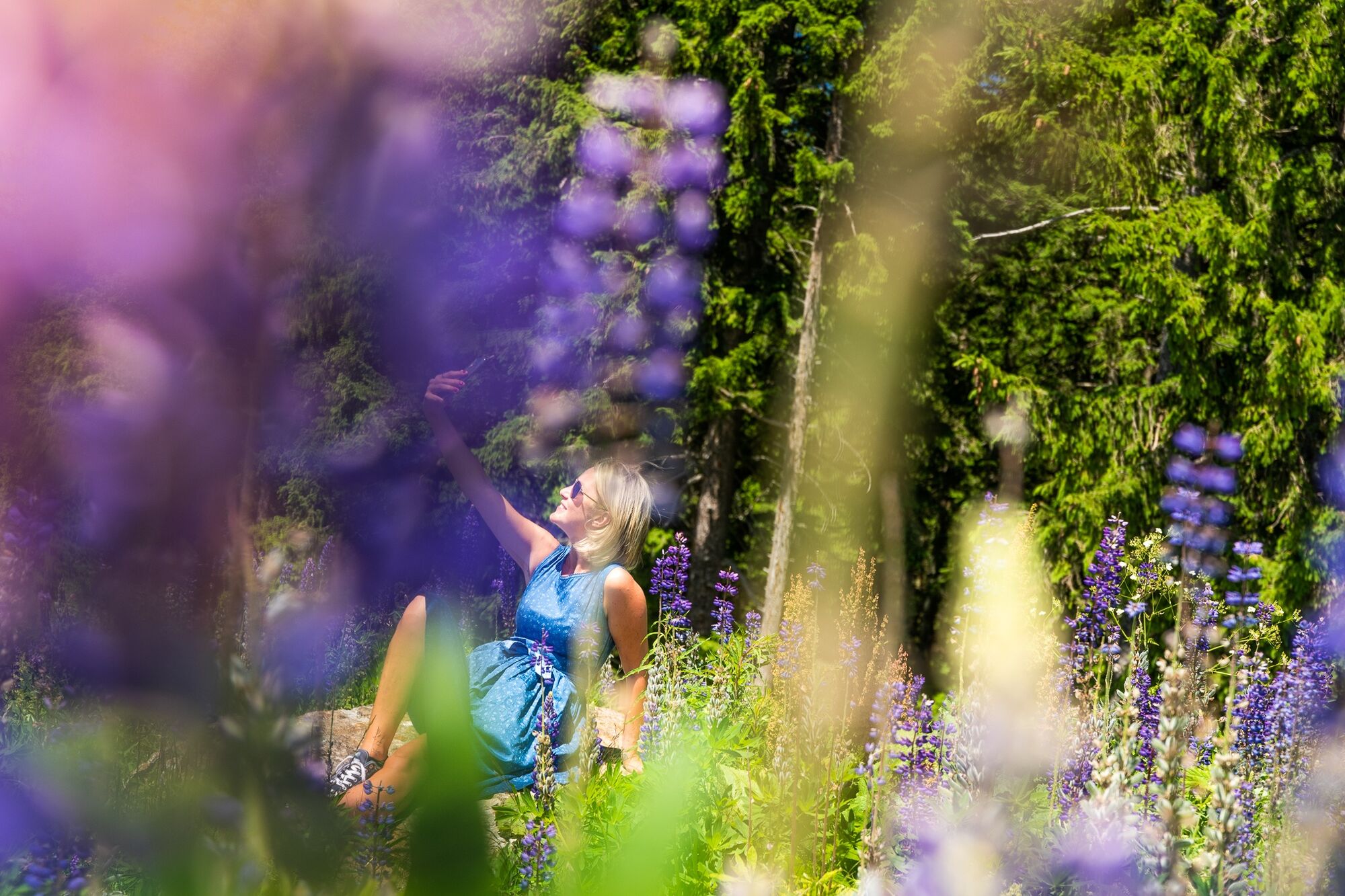
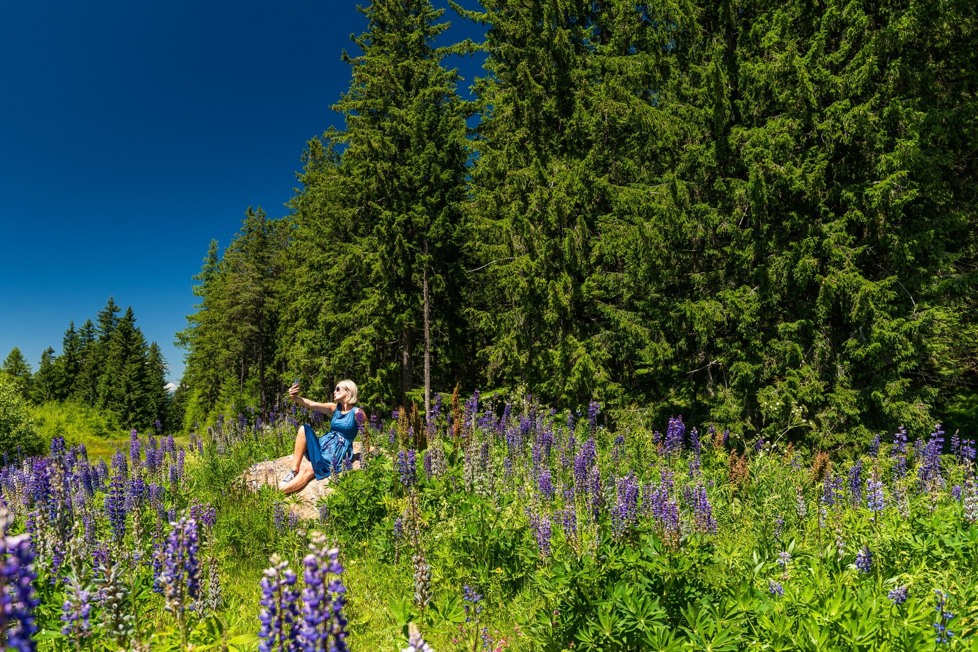
The Hebalm is an ideal hiking paradise in the warm season and offers ideal conditions for short excursions. Let's enjoy the idyll and tranquillity of this natural setting at around 1400 m above sea level.
This loop is just under 4 km long and involves only a few meters of elevation gain and is well suited for families with children.
- Directions
-
We start our circular lake trail on the Hebalm at the parking lot opposite the Fichtenhof & Gifthittn and follow the long-distance hiking trail marked 505 (towards Weinebene). This trail leads us across the large parking lot and then along a forest road through a forest until we reach a clearing. We then walk slightly uphill through a short section of forest until we reach the next clearing. At the edge of the forest, we leave the long-distance hiking trail 505 in the direction of trail no. 51 (towards "Dom des Waldes und Hebalmsee"). The path goes slightly uphill here and after a while we can already see the gate portals of the forest dome in front of us. Our path now leads us further to the Hebalmsee.
Once here, this beautiful place invites us to linger. We can rest and enjoy nature before continuing on our way
The way back leads us along the marked hiking trail towards the Hebalm vacation apartments. Opposite a large building, we reach the main road again. We turn left and walk a short distance across the parking lot parallel to the main road.
After just under 4 km, we have reached the starting point of our hike again.
- Highest point
- 1,407 m
- Endpoint
-
Hebalm, parking lot
- Height profile
-

- Equipment
-
Ein richtiges Rucksackpacken macht vieles leichter: Schwere Sachen als erstes einpacken. Die Wasserflasche sollte immer gut griffbereit in einer Seitentasche sein. Alle Dinge, die oft benötigt werden wie Sonnenbrille, Fotoapparat oder Wanderkarte, gehören obenauf.
Eine Notfallsausrüstung gehört in jeden Rucksack!
Eine Einkleidung nach dem "Zwiebelsystem" empfiehlt sich immer!
Ein guter Wanderschuh ist ein guter Wegbegleiter und darf am Berg nie fehlen!
Ein Blasenpflaster für den Fall der Fälle nicht vergessen!
- Safety instructions
-
Dear hiking friends!
As hikers, we are guests in the forest and on the meadow. Please bear the following in mind:
Wild animals need peace and quiet, please avoid unnecessary noiseDo not leave marked hiking trails Do not dispose of garbage in the forest, animals can be injured by it Keep your distance from grazing animals Thank you for your consideration!Emergency call mountain rescue: 140
- Additional information
-
Tourismusverband Region Graz
Messeplatz 1/Messeturm
8010 Graz
T +43 316 8075-0
info@regiongraz.at
www.regiongraz.at


-

-
AuthorThe tour Circular lake trail on the Hebalm is used by outdooractive.com provided.


General info
-
Erlebnisregion Graz
2781
-
Lavanttal
609
-
Modriach
247