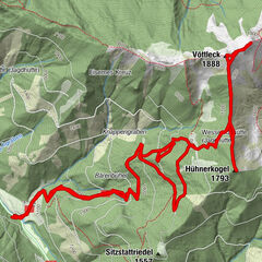
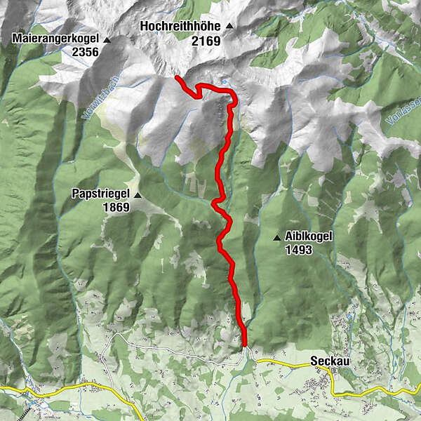
Tour data
9.19km
928
- 2,397m
1,469hm
07:00h
- Brief description
-
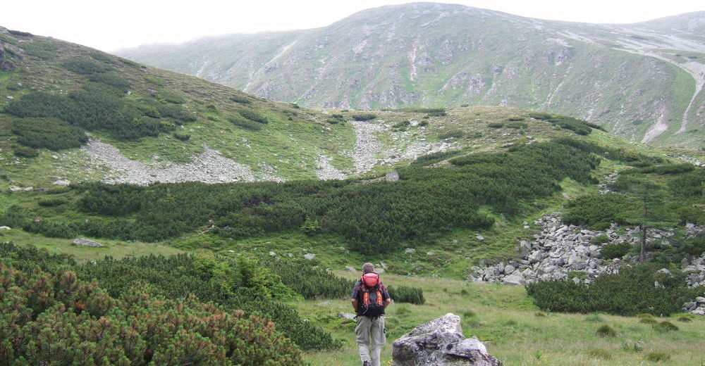
leichte, aber lange Tour
- Rating
-
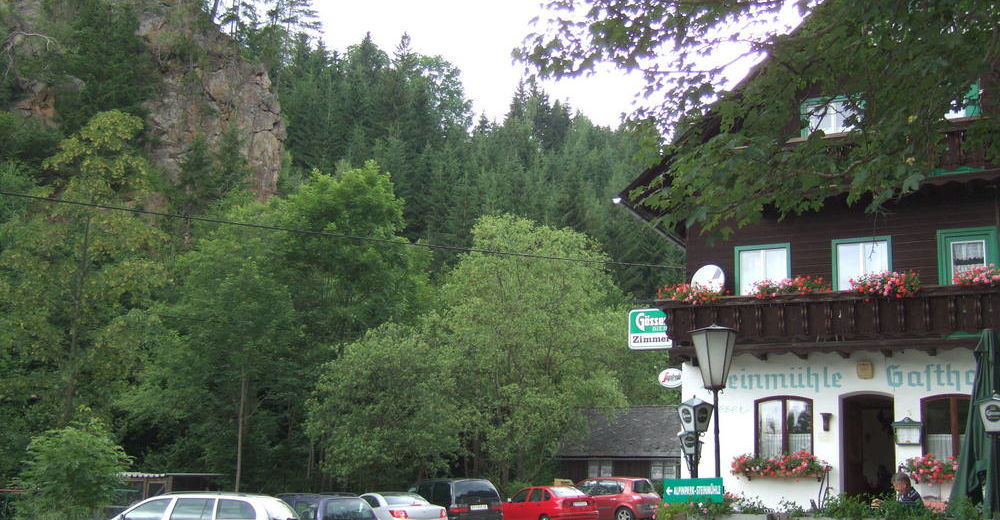
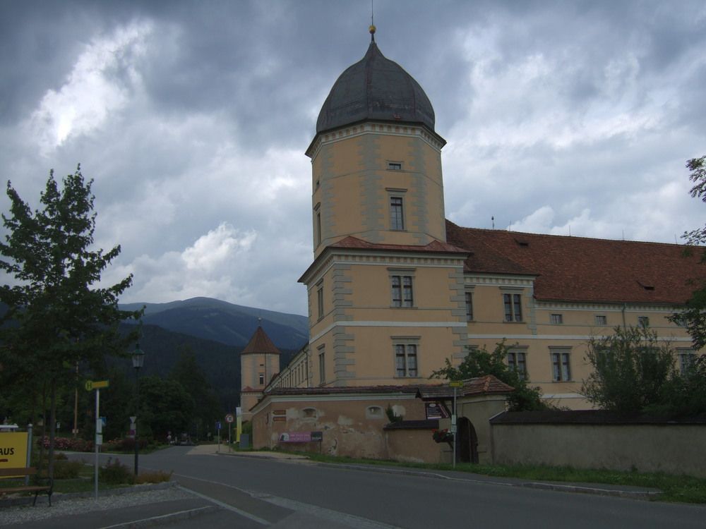
- Starting point
-
Gasthaus Steinmühle, da sonst nur wenig Parkmöglichkeiten
- Route
-
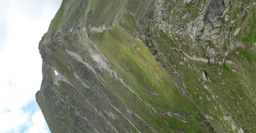
Gasthof Steinmühle0.0 kmSeckauer Zinken (2,397 m)9.1 km
- Highest point
- 2,397 m
- Rest/Retreat
-
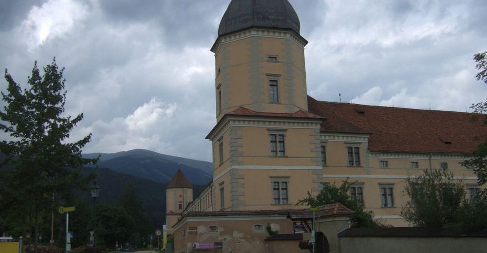
Gasthaus Steinmühle
- Ticket material
-
Österr. Karte Nr. 131 Kalwang


GPS Downloads


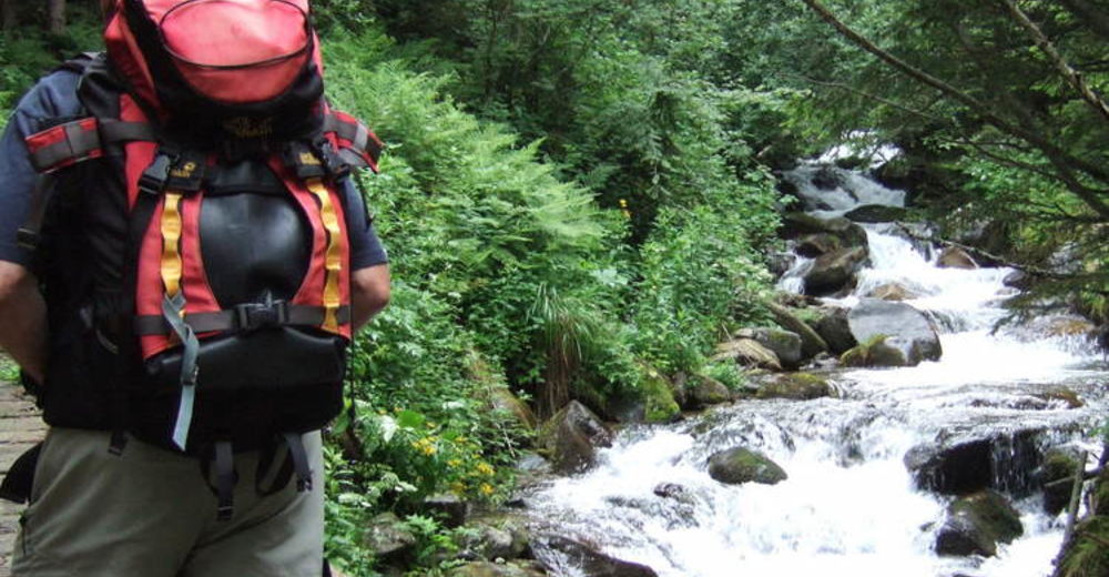
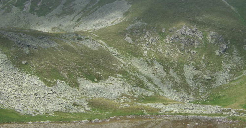
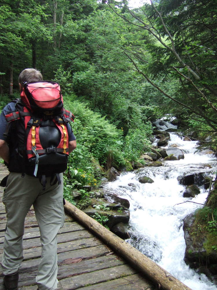
Trail conditions
Asphalt
Gravel
Meadow
Forest
Rock
Exposed
Other tours in the regions
-
Erlebnisregion Murtal
1783
-
Seckau
199