- Brief description
-
On this family-friendly hike you can not only enjoy the tranquility of nature, but also experience a little historical journey through time, because in Noreia many things remind us of earlier times. Via paths with great views we reach the idyllic village of St. Martin am Silberberg, which is already in Carinthia.
- Difficulty
-
medium
- Rating
-
- Starting point
-
Foam mill in Mühlen
- Route
-
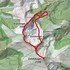
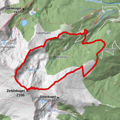
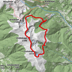
Ortskapelle hll. Maria und Rochus0.0 kmGasthaus Gössler0.1 kmMühlen0.2 kmGasthaus Hirschenwirt0.2 kmMondorf1.6 kmNoreia2.6 kmSankt Martin am Silberberg7.9 km
- Best season
-
JanFebMarAprMayJunJulAugSepOctNovDec
- Description
-
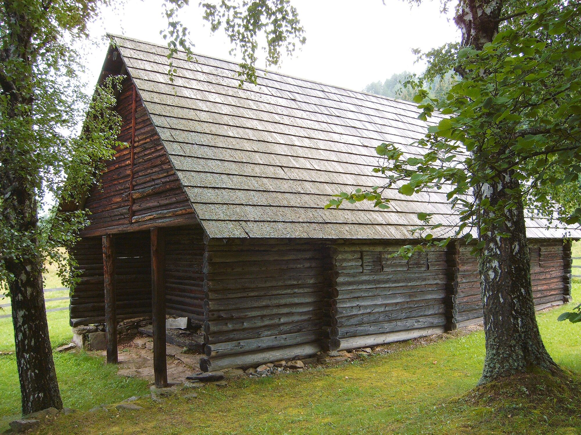
Noreia is a very mysterious place, because excavations there revealed a granze sunken city. In the museum located there you can relive the history of the research and visit the replica royal house near the mysterious place of worship.
- Directions
-
From the center of Mühlen walk through the chestnut avenue for about 100 m in the direction of the SE. Pass the Rochus chapel and take the Hangarin path, which climbs slightly through dense forest until you reach the municipal road leading to Noreia. On the slightly ascending, asphalted road you come to the turnoff to Mondorf. (In Mondorf, the GH Steiner invites you to stop for a break. Via an elevated path you get back to the road leading to Noreia).
Follow the flat municipal road to the fork Noreia-Weg 4a or Weg 4-Jausenstation Bärnthaler after 1.8 km. On the slightly sloping road we walk 0.7 km to Noreia. Next to the royal house, an early history museum and the parish church invite you on a historical journey through time. Walk through the pretty village to the eastern end of the village and follow the flat path to the Trinity Chapel.
Immediately next to the chapel the footpath branches off to the right and leads us moderately downhill to the Grabenmühle, which lies on the border to Carinthia. You pass the Hörbach (border to Carinthia) over the bridge. On an old, moderately ascending hollow way you reach a forest road leading up from the Hörbach castle through high forest terrain. Cross the forest road and follow the slightly ascending footpath in the direction of the Silberberg ruins. In the vicinity of the ruin you reach a flat path, which you leave after about 100 m to the left.
Via a rather steep sunken path lined with dense clover, you finally reach the highest point of the hike. On a forest path you reach the house Schöller. From here you can enjoy the magnificent view of the Görtschitztal valley. Follow the gently descending forest path to the S until you reach the access road to St. Martin am Silberberg. Follow the slightly ascending road until you reach the crossroads near the Wieland inn. Then follow the road to the S (right) and you will reach St. Martin am Silberberg.
- Highest point
- 1,182 m
- Endpoint
-
Foam mill in Mühlen
- Height profile
-

- Equipment
-
Good footwear
Sun protection
Sufficient food - Additional information
-
The ideal time for this tour is from May to October.
- Directions
-
Coming from Judenburg via Unzmarkt to Scheifling. Continue straight ahead until you reach Neumarkt. After Neumarkt turn left and drive to Mühlen.
Coming from Tamsweg drive via Ranten (or Stadl an der Mur) to Murau. Keep right here and drive via Laßnitz and St. Lambrecht to Mariahof. Here turn right again and drive to Neumarkt. In Neumarkt keep left and drive to Mühlen.
- Public transportation
-
With the BusBahnBim app of the Verbundlinie, timetable information has never been easier: all bus, train and streetcar connections in Austria can be queried by enteriing locations and/or addresses, stops or important points. The app is available as a free app for smartphones (Android, iOS) - on Goolge Play and in the App Store.
- Parking
-
Parking is available directly at the Schaumühle.
- Author
-
The tour From Mühlen via Noreia to St. Martin am Silberberg is used by outdooractive.com provided.


General info
-
Mittelkärnten
1381
-
Naturpark Zirbitzkogel - Grebenzen
668
-
Mühlen
222