- Brief description
-
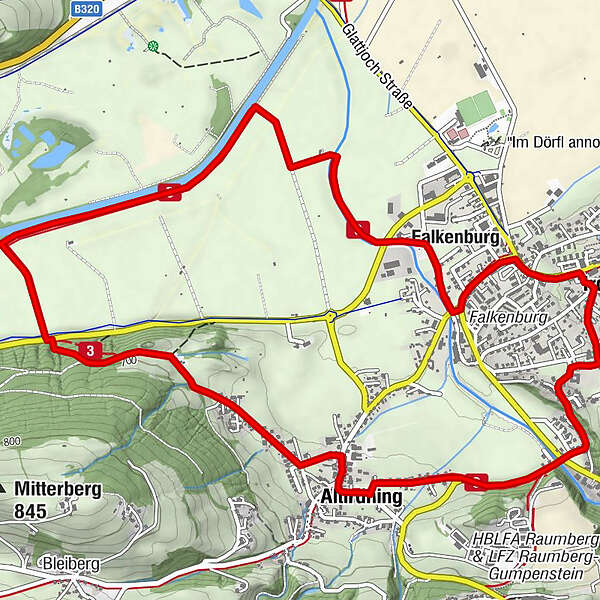
Past the Capuchin monastery, through Altirdning to Heiligenbrunn, a Celtic cult site and special power place with healing spring. Across the Enns back to the village.
- Difficulty
-
easy
- Rating
-
- Starting point
-
Tourism office Irdning
- Route
-
Irdning0.1 kmAltirdning1.9 kmFalkenburg6.6 kmIrdning7.7 km
- Best season
-
JanFebMarAprMayJunJulAugSepOctNovDec
- Description
-
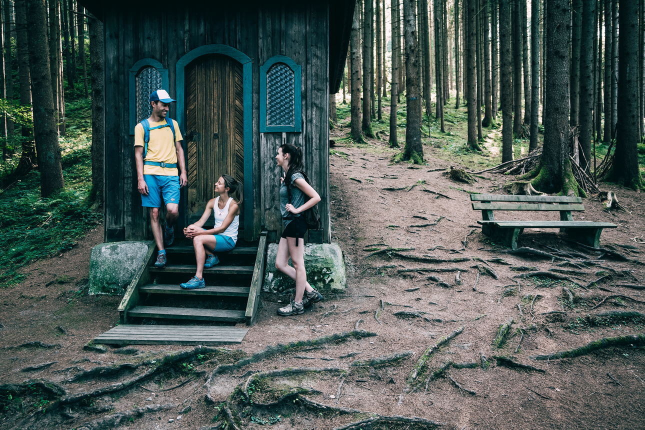
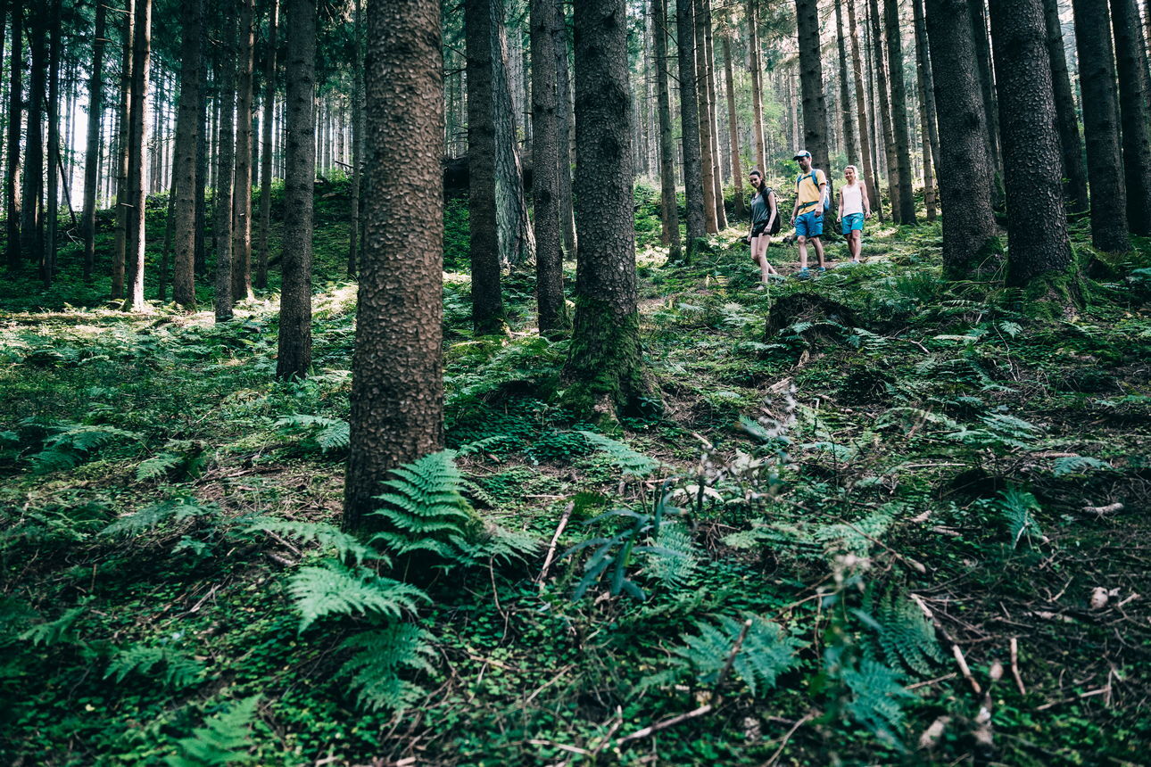
This hike leads via the Capuchin monastery to Altirdning, where a gravel path leads into the forest at the end of the village. Slightly downhill from here to Heiligenbrunn - a Celtic cult site with chapel and well, where healing spring water (especially for the eyes) flows. Via a steep path you descend to the road, continue to the Enns and back to the village.
- Directions
-
Starting from the tourist office, follow the signposted path past the Capuchin monastery, along the slightly sloping path to the road to Donnersbach, which you cross. Follow the road to Raumberg until it begins to rise. Now turn right, past the houses and the fire station of Altirdning, shortly after turn left over a small bridge. At the end of the bridge, walk along a gravel path to the beginning of the forest. About 100 m further on, turn right and follow a small forest path slightly downhill until you reach the Heiligenbrunn with the chapel next to it. The water is said to have healing properties, so it is worthwhile to drink enough here and especially to wash your eyes! Follow the path downhill to the road, cross it and continue to the Enns. Then keep to the right and walk along the river to the gravel path. Turn left and cross the small bridge. Walk along the meadow until you reach the main road, which you cross again. Now follow the signs and hike back to the starting point.
Way number: 3
- Highest point
- 698 m
- Endpoint
-
Tourism office Irdning
- Height profile
-

- Equipment
-
Good shoes, clothes and a packpage with snacks.
- Safety instructions
-
Plan your trip in advance, taking into account walking time, distance, elevation gain, hazards, and weather reports.
Let others know where you are going and when you want to be back.
Turn back in good time if the weather deteriorates. If you are caught in a thunderstorm, stay away from free-standing trees and wait out the storm, crouching if possible.
Stay on marked trails and remember to close pasture fences.
If you are a dog owner: Clarify before the hike if you need to cross a pasture. Keep your dog on a leash and make sure it stays calm. If a cow attacks, let the dog off the leash immediately. Never pick him up to defend him. - Tips
-
From May to June, you can look ath the Siberian Iris.
- Additional information
-
Tourism information: www.schladming-dachstein.at
Tourism blog: www.derbergdastal.at
Tourist Office Schladming-Dachstein
Ramsauerstrasse 756
8970 Schladming
T: +43 3687 23310
Garbage on meadows and paths can not smell mountain and valley. Please take it with you. Agriculture and forestry are important partners for Berg und Tal. They allow you to walk and drive on many of their paths. Be aware that only good cooperation will guarantee your recreational enjoyment in the future.
- Directions
-
At Trautenfels or Wörschach turn off the B320, direction Irdning, village center.
- Public transportation
- Parking
-
Free Parking on th other side of the tourism office.

-

-
AuthorThe tour Roundway Heiligenbrunn is used by outdooractive.com provided.