
Tour data
7.51km
460
- 1,681m
1,229hm
1,229hm
07:00h

- Difficulty
-
difficult
- Rating
-
- Starting point
-
Parkplatz Mixnitz
- Route
-
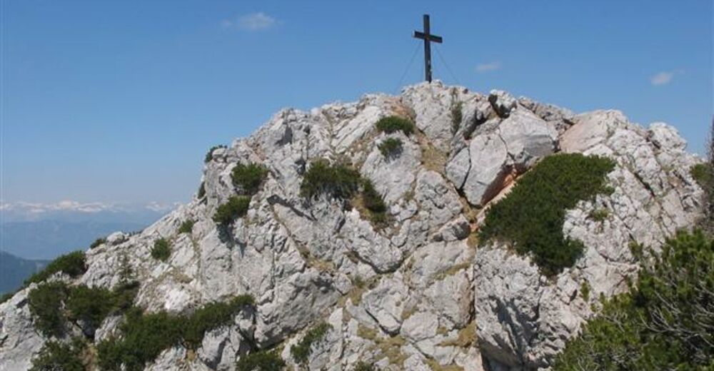
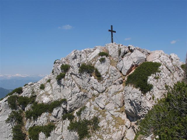
MixnitzGasthaus zur Bärenschützklamm1.1 kmSchwalbennest3.6 kmZum Guten Hirten (1,206 m)5.1 kmSchüsserlbrunn6.2 kmHochlantsch (1,720 m)7.5 km
- Best season
-
JanFebMarAprMayJunJulAugSepOctNovDec
- Highest point
- 1,681 m
- Rest/Retreat
-
"Zum guten Hirten" nach der Bärenschützklamm
GPS Downloads


Trail conditions
Asphalt
Gravel
(5%)
Meadow
(15%)
Forest
(50%)
Rock
(30%)
Exposed
Other tours in the regions
-
Erlebnisregion Graz
2783
-
Bruckmur-Kapfenberg
1500
-
Mixnitz
443


