


- Brief description
-
This trail leads in 6 stages around the southern Almenland, the 6th stage starts at the Kreuzwirt inn in the Weizklamm gorge and leads over the Sattelberge mountains to the centre of Arzberg.
- Difficulty
-
medium
- Rating
-
- Starting point
-
Weizklamm, GH Kreuzwirt
- Route
-
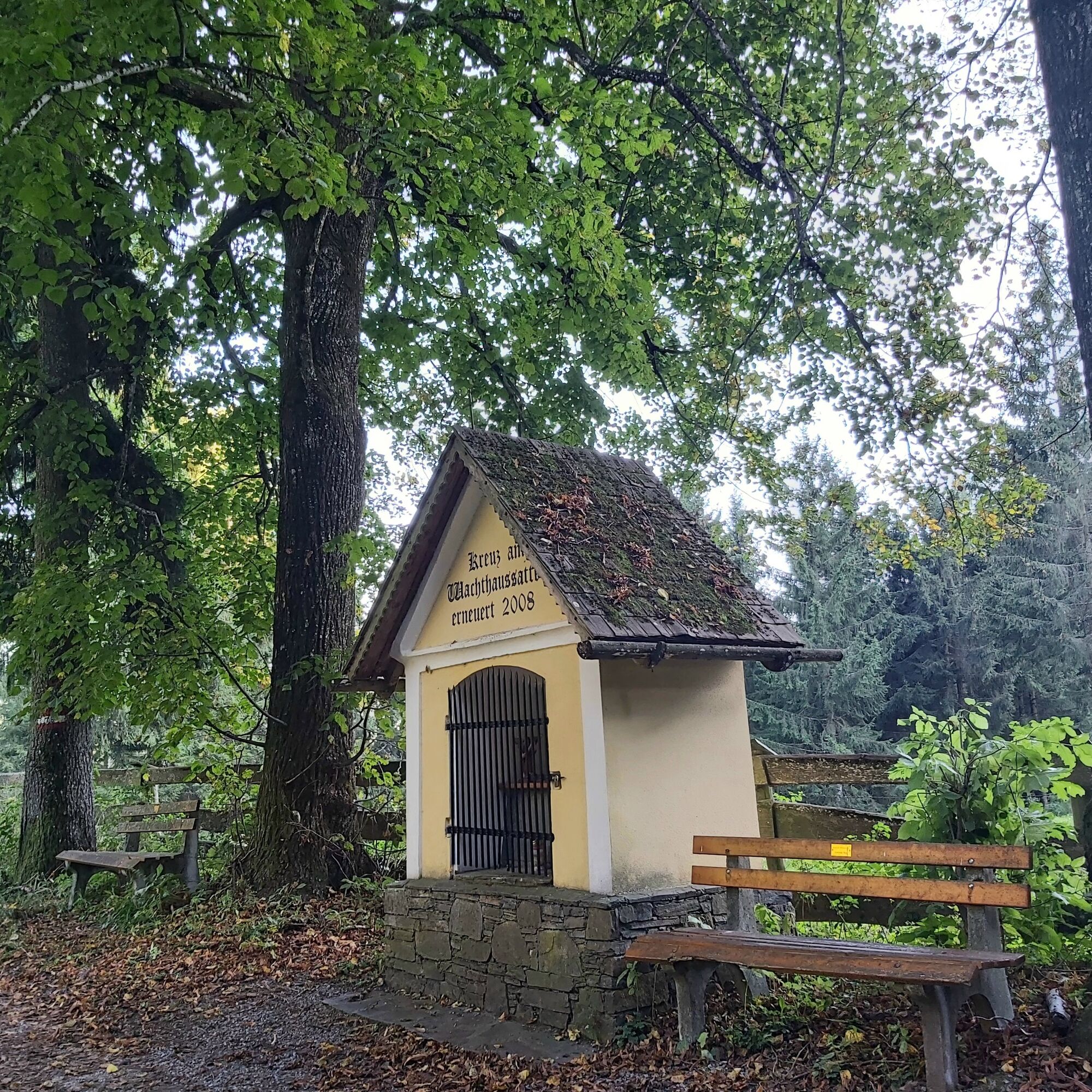
Wachthaussattel (950 m)4.2 kmLärchsattel5.0 kmGrasslhöhle7.8 kmGösserquelle10.0 kmKohlquelle10.3 kmArzberg12.3 km
- Best season
-
JanFebMarAprMayJunJulAugSepOctNovDec
- Description
-
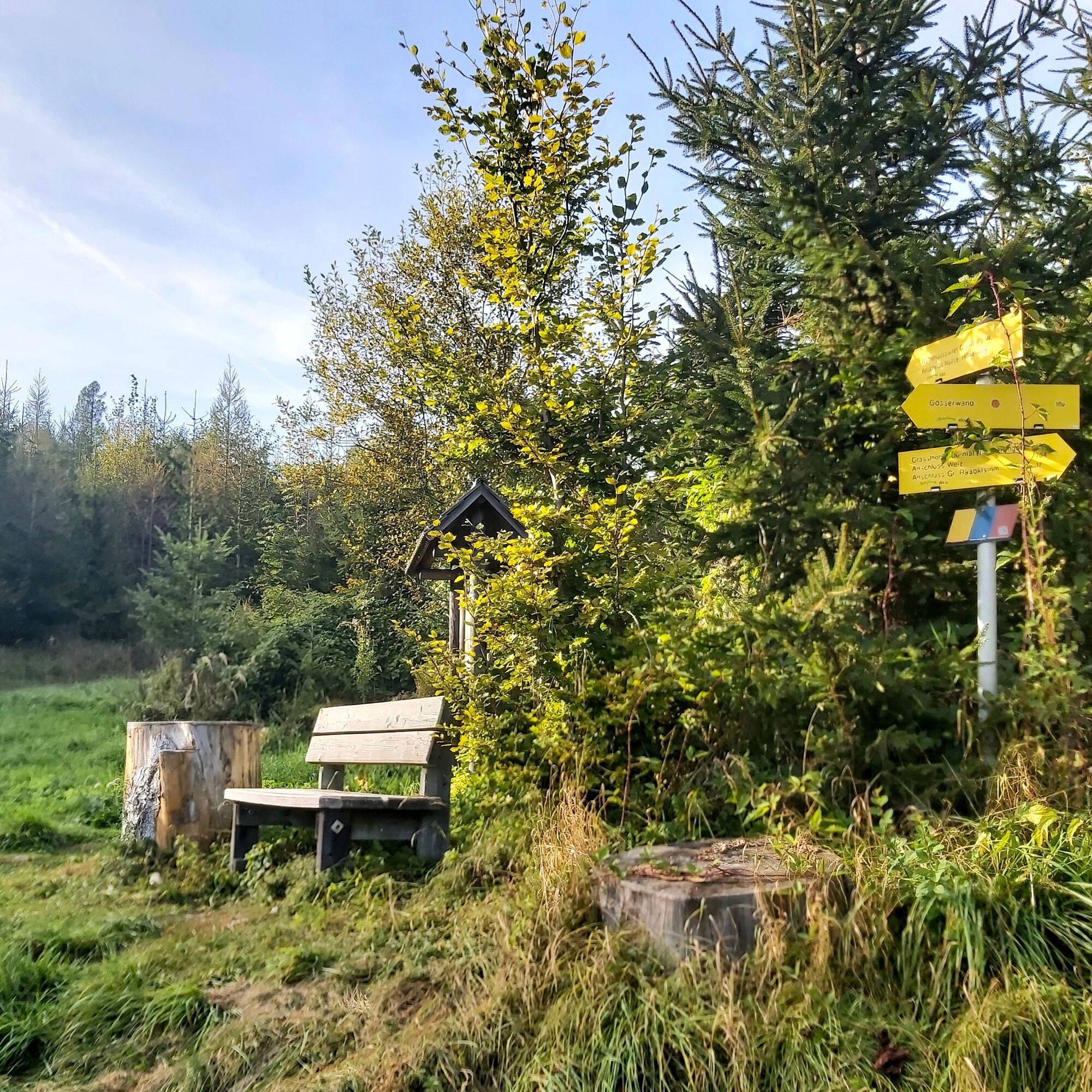
This hike around the "Passailer Kessel" is an idea of the Kath. Männerbewegung Passail and was also planned and implemented by them. The six sections are designed in such a way that after each day's stage there is an opportunity to stop for a break or overnight stay. The stages run mainly along designated Alpine Club paths and were also marked with their own signposts. The small boards represent the colours of the hiked communities Fladnitz an der Teichalm (gold), Passail (blue) and St. Kathrein am Offenegg (red).
The trail starts in Arzberg, leads up to the Schöckl and on to the Rechberg. From there it goes via the Nechnitz up to the Teichalm, via the Osser up to the Sommeralm and via the Brandlucken to St. Kathrein am Offenegg. The last two stages then lead over the Patscha down into the Weizklamm gorge before returning to Arzberg via the Gösser and Große Raabklamm gorges.
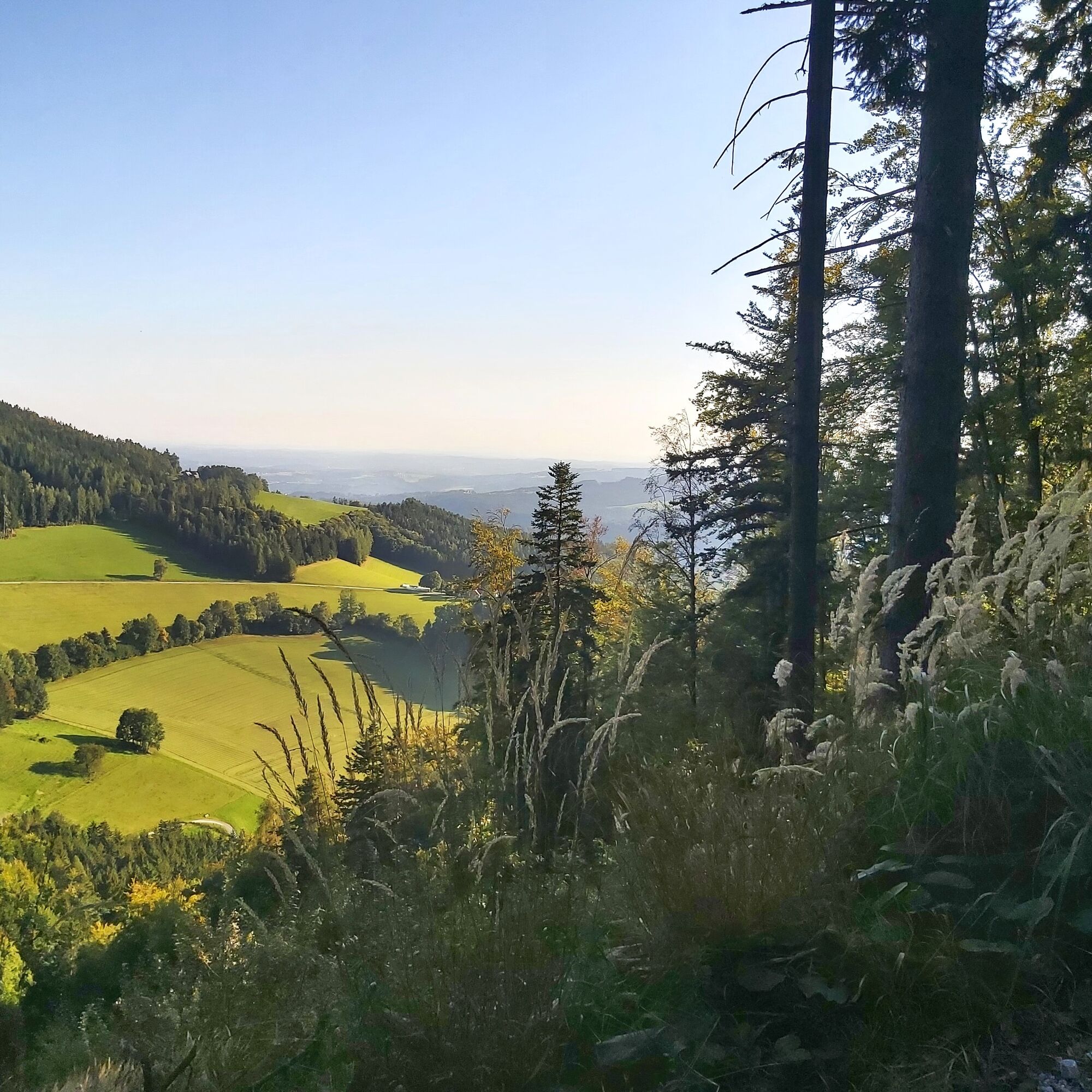
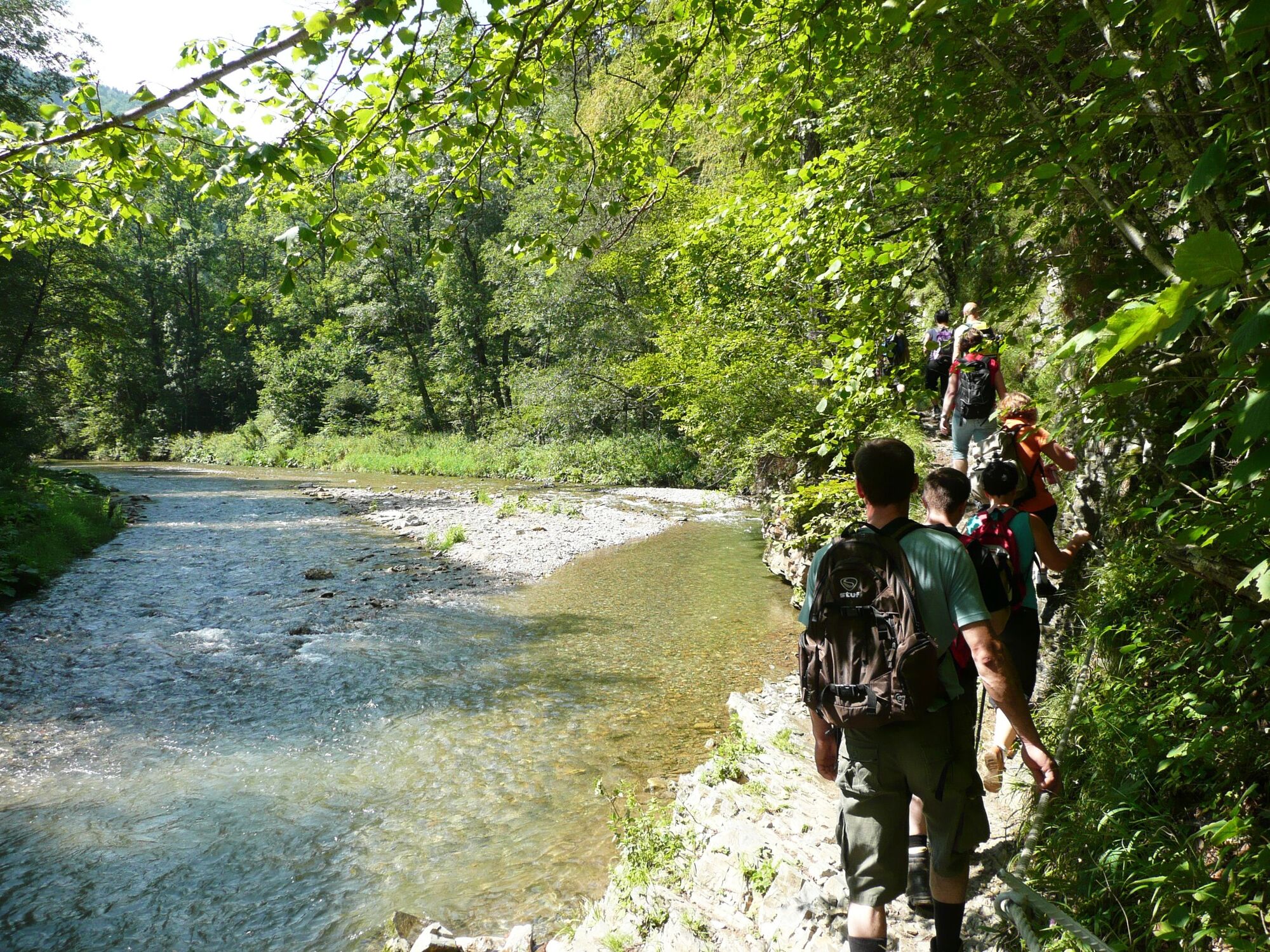
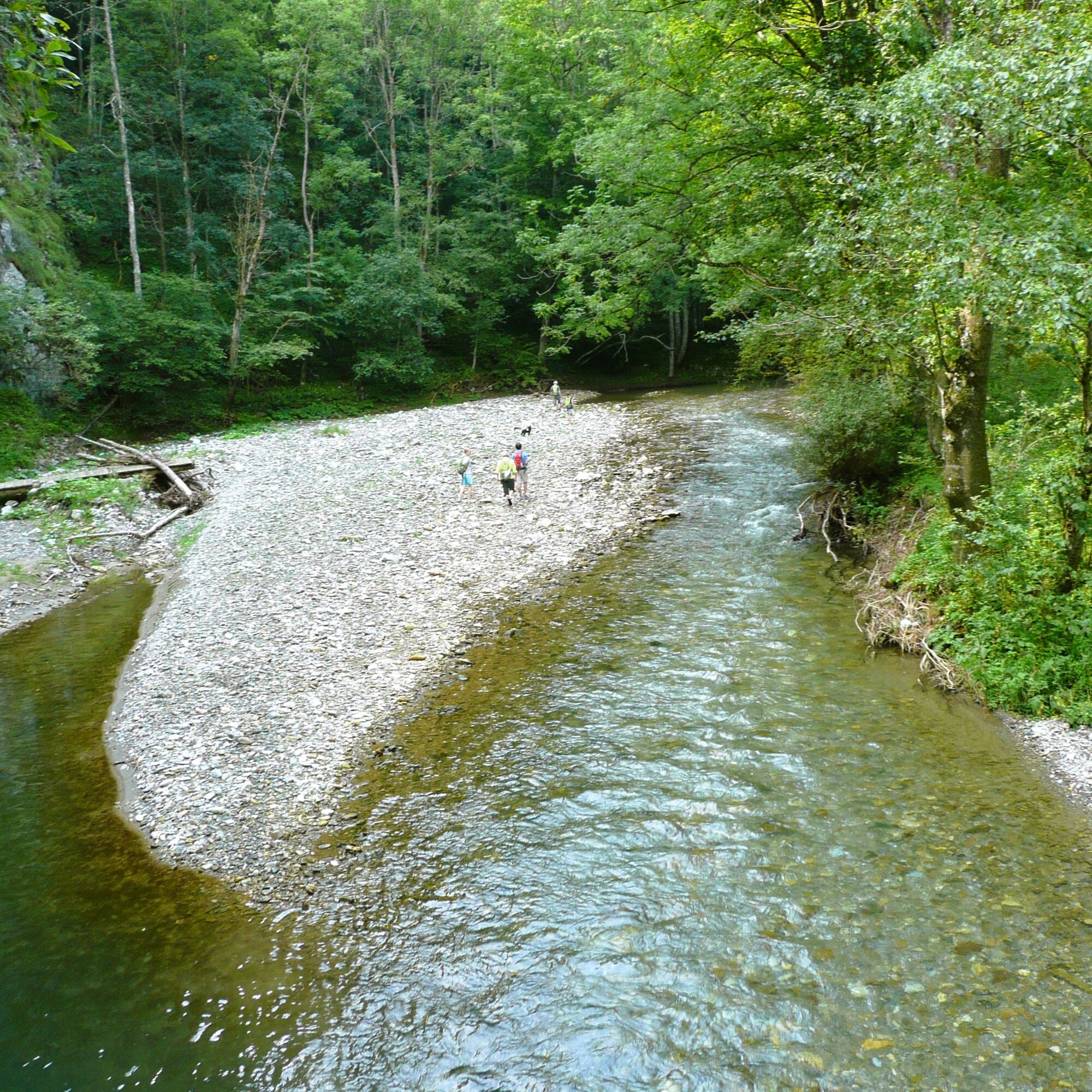
The highlights of the 6th stage are the many beautiful views down to Passail, but also in the direction of Weiz. And the last section of the route, which leads through the "Große Raabklamm" gorge with its fantastic flora and fauna, is also very beautiful.
- Directions
-
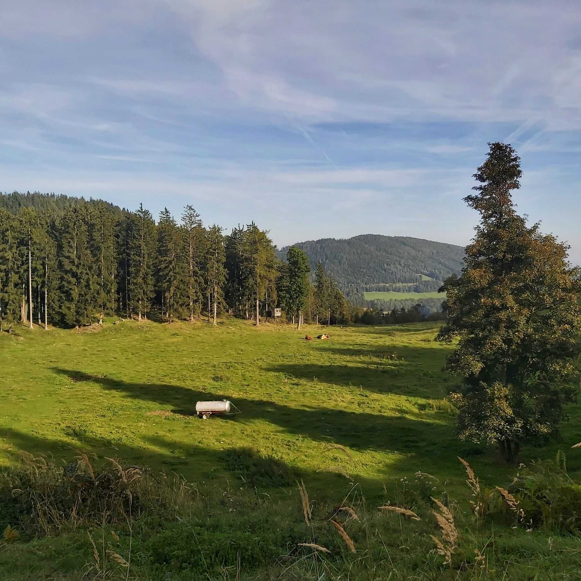
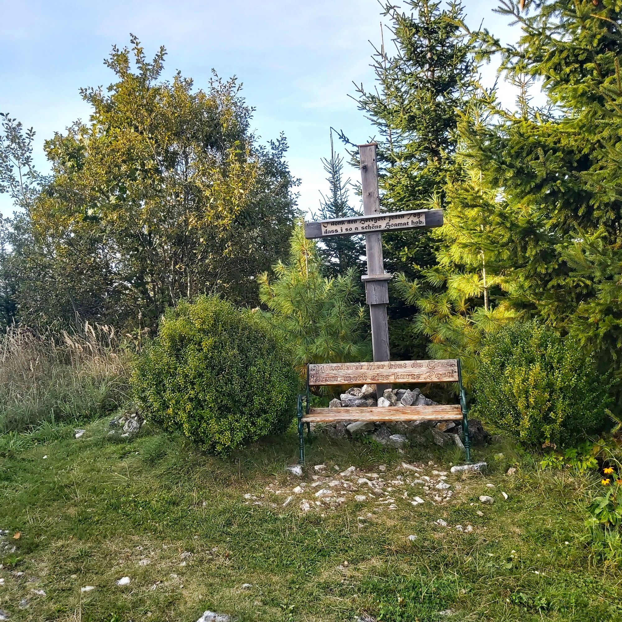
Start: GH Kreuzwirt/Weizklamm From the Kreuzwirt inn we walk along the main road in the direction of Passail. After approx. 200 walk left over a wooden bridge (access to Haus Münzer) uphill over the secured trailthis secured trail ("Kaltenegger-Steig") is easy to find due to numerous markings (hiking boards and markings on trees) We walk up to "Weizeben", from here the path first leads across a meadow and then along a field path in the direction of Haufenreithbefore we reach the houses, we take a sharp right turn and continue in the direction of "Weizklamm/Wolfsattel". The path is now marked through the forest and over forest roads up to Wolfsattelbefore reaching the summit of the Wolfsattel, the path leads along forest roads in the direction of the "Wachthaussattel". Arrived at the "Wachthaussattel" (gravel road Haufenreith/Gschaid-Naas) it is time for a short rest - also to enjoy the beautiful view. The way continues towards the "Gössersattel". At the information board before the ascent to the Gössersattel (the board draws attention to the former inn), we descend to the left along the "Naaser Höhlenweg" (Naas Cave Trail) in the direction of the Grasslhöhle cave and Dürntal valley. Continue to the "Lebauer-Steig", which leads into the Raabklamm gorge, from here it is possible to make a short detour to the "Dürntalwirt" (Graf/Reisinger family). Via the "Lebauer-Steig" you reach the "Große Raabklamm" with its steep slope. Once in the Raabklamm, keep to the right and walk upstream along the Raab to Arzberg. In Arzberg there are various places to stop for refreshments.
- Highest point
- 1,031 m
- Endpoint
-
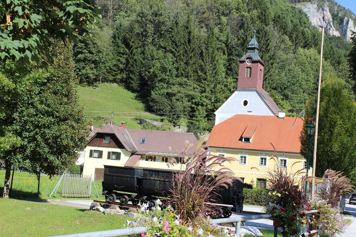
Arzberg, Towns Centre
- Height profile
-

- Equipment
-
Small backpack with water bottle (+ provisions)
Sturdy shoes
Appropriate clothing - if possible several layers - "onion principle".
Rain and sun protectionWalking sticks as required
Mobile phone
Small first aid kit
Route description
Before starting the hike, check the possibilities for refreshments, including opening times, or pack appropriate food and drink.
- Safety instructions
- Tips
-
In Arzberg it is worth the short walk out to the Almenland Stollen Cheese, there are guided tours of the Stollen, cheese tastings and a nice shop with regional products.
- Additional information
-
More info about the region, where to stop for a bite to eat, where to find rooms and descriptions of the excursion destinations and businesses:
Tourismusverband Oststeiermark
Almenland Nature Park Office
Fladnitz 100
8163 Fladnitz/Teichalm
Tel: +43 3179 23000
Mail: almenland@oststeiermark.com
www.almenland.at | www.oststeiermark.com - Directions
- Public transportation
- Parking
-
Car park in the Weizklamm gorge or at the "Passail - St. Kathrein/Offenegg" junction


-

-
AuthorThe tour Stage 6: Path of 100,000 Steps, GH Kreuzwirt - Arzberg is used by outdooractive.com provided.


General info
-
Erlebnisregion Graz
2781
-
Naturpark Almenland
1766
-
Passail
582


