

- Brief description
-
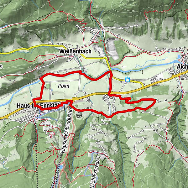
Circular route no. 4 in the holiday villages Haus-Aich-Gössenberg
- Difficulty
-
medium
- Rating
-
- Starting point
-
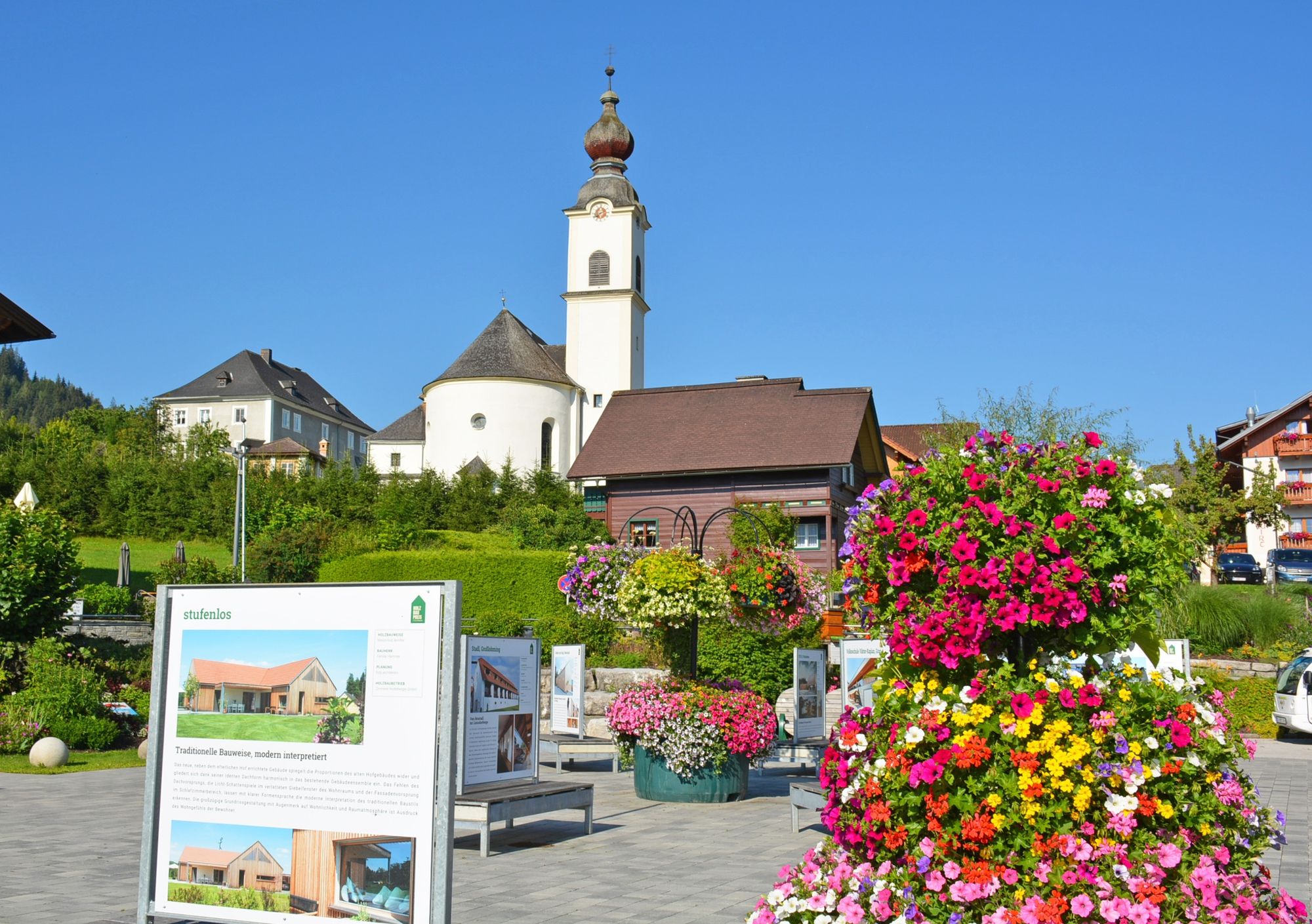
Schlossplatz in Haus
- Route
-
Haus im EnnstalNiederberg3.8 kmRuperting5.4 kmHaus im Ennstal9.3 km
- Best season
-
JanFebMarAprMayJunJulAugSepOctNovDec
- Description
-
Easy hike through several small districts (e.g. Ennsling, Ruperting and Niederberg) of the market town of Haus. From forest and meadow paths to asphalted panoramic roads, everything is included.
- Directions
-
From the Schlossplatz in Haus head east along Junghannsstraße to the Hauser Kaibling 8-seater gondola valley station - meadow path ascending to the village of Ennsling. Continue via Lacknerhof, Rosspointnerhof and Mühlbacherhof to Ruperting/Kapelle. Head east towards Danzhof and on the Niederberg. Panorama road downhill to Höhenfeld and at the junction through the underpass in the direction of Weißenbach. Continue over the level crossing to the Enns bridge. Turn left immediately before the Enns bridge. Head west along the Enns to the suspension bridge below the Haus outdoor swimming pool. After the outdoor pool, continue through the underpass to Markt Haus.
- Highest point
- 853 m
- Endpoint
-
Schlossplatz in Haus
- Height profile
-

- Equipment
-
sturdy shoes
- Tips
-
In case of summery temperatures, take a detour to the outdoor adventure pool Haus.
- Directions
-
Ennstalbundesstraße (B320) - Haus im Ennstal - Schlossplatz
- Public transportation
-
Postbus (L900) - Exit: Haus Ort
End of May to mid October: Planaibus (Line: Schladming - Haus - Steirischer Bodensee)
- Parking
-
- directly at the Schlossplatz: parking garage with costs (at the city hall)
- free parking above the schools (about 200 m away)
-
-
AuthorThe tour Markt Haus - Ruperting - Markt Haus is used by outdooractive.com provided.


-
Schladming - Dachstein
3001
-
Haus - Aich
1364
-
Haus im Ennstal
366


