


- Brief description
-
Family hike around the Karleck
- Difficulty
-
medium
- Rating
-
- Starting point
-
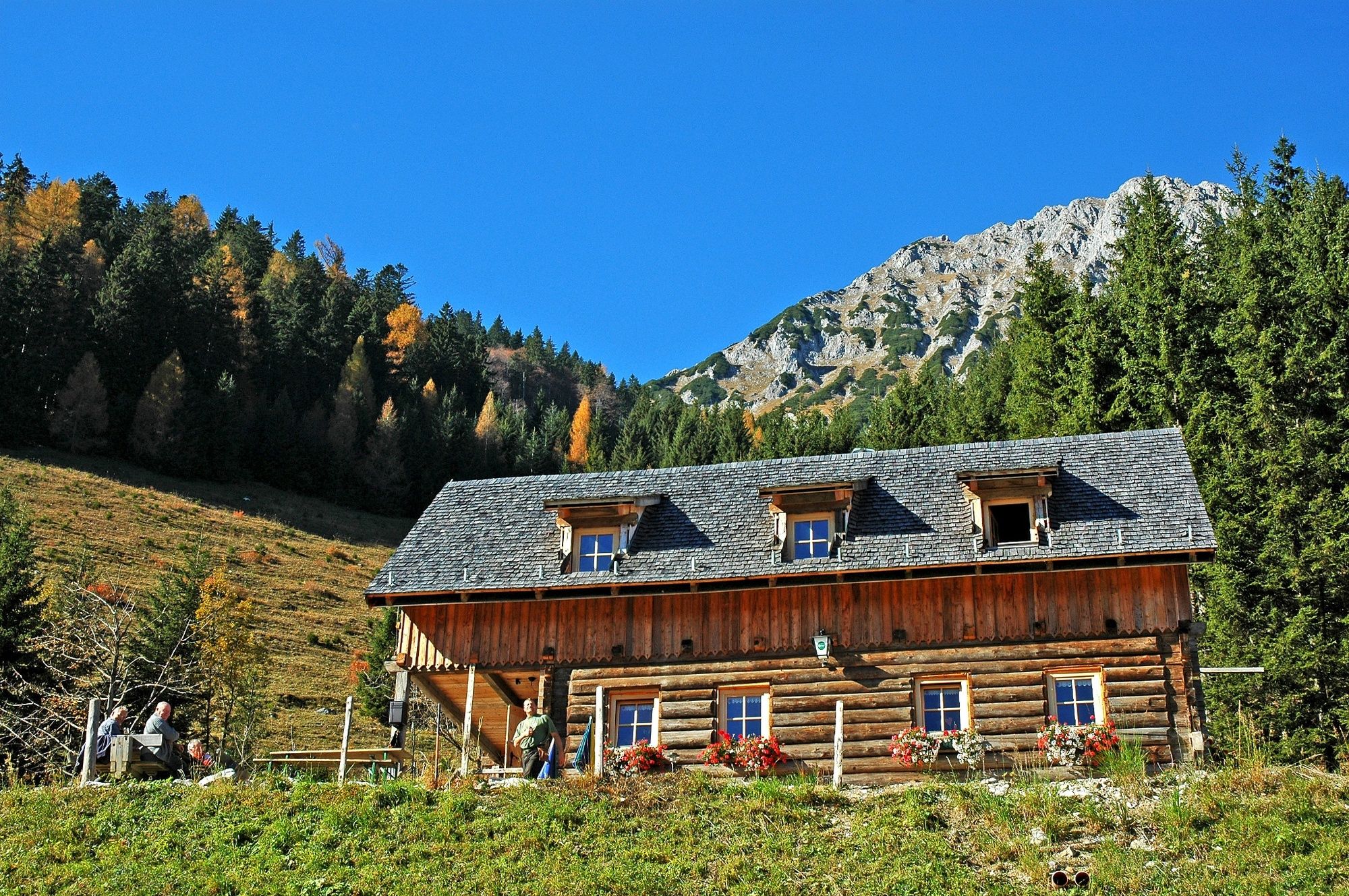
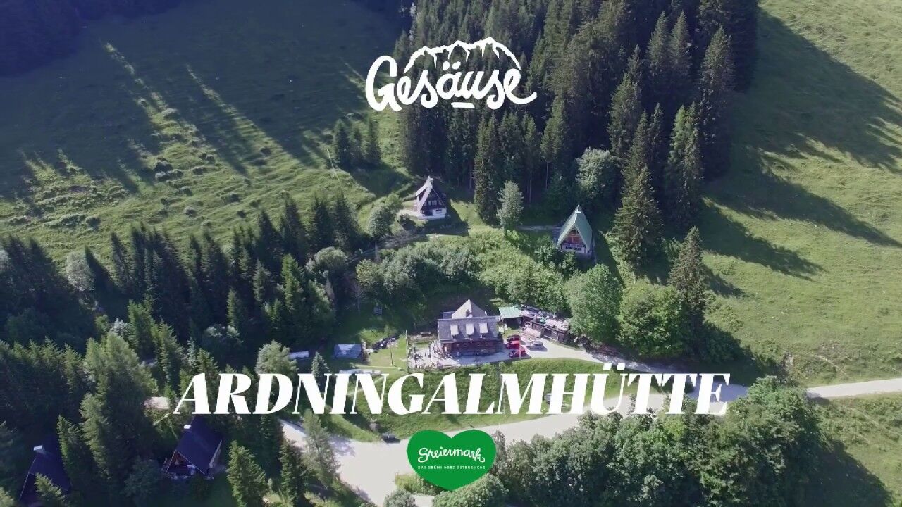
Ardningalm Hut
- Route
-
Ardning Alm HütteArdningalm0.6 kmArlingsattel (1,425 m)1.9 kmRohrauer Haus4.6 kmPyhrgasgatterl (1,308 m)4.9 kmBacheralm5.8 kmArdningalm8.3 km
- Best season
-
JanFebMarAprMayJunJulAugSepOctNovDec
- Description
-
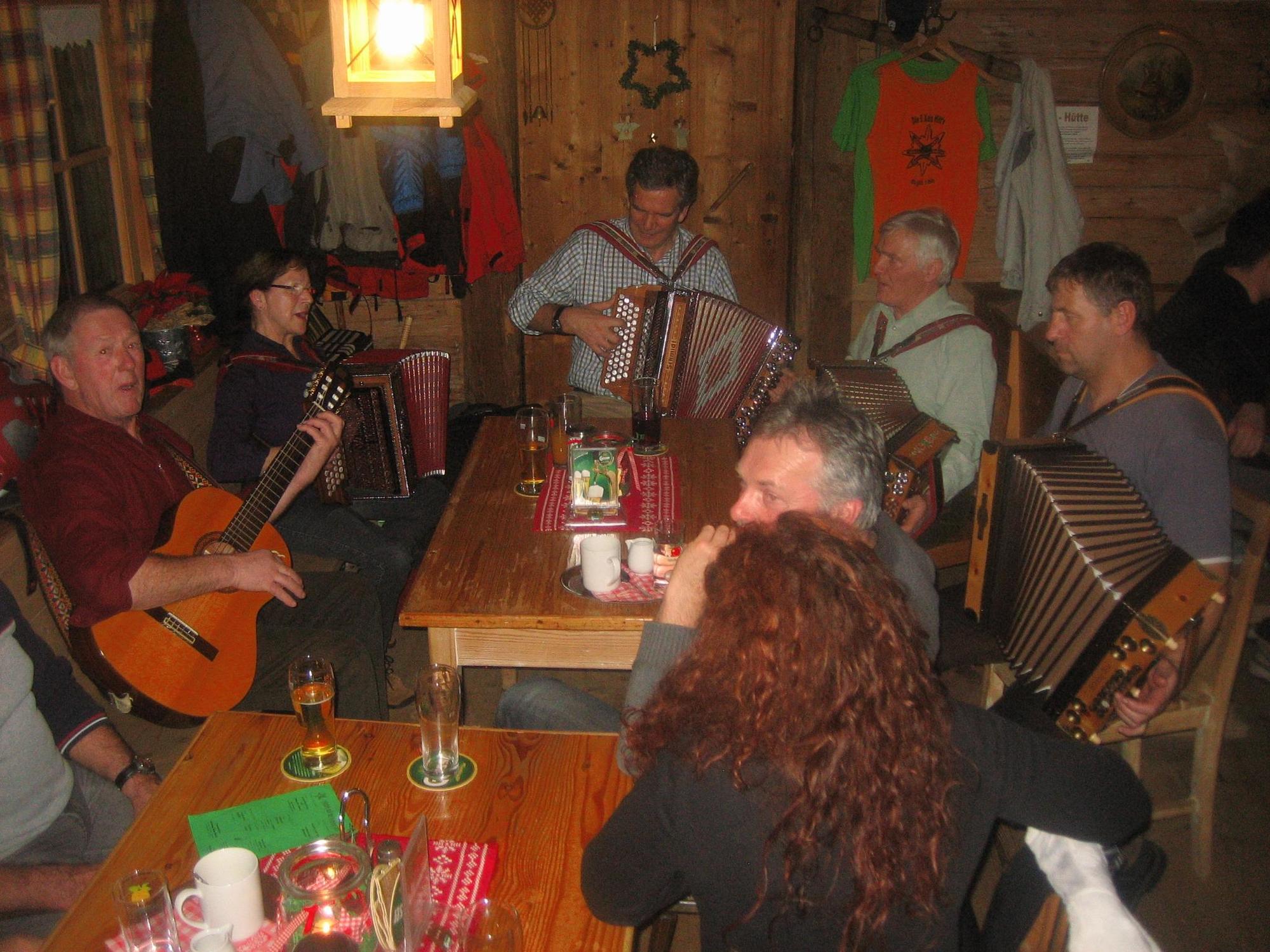
Hike with 2 stops: Ardningalm hut www.ardningalm.at and Rohrauer house www.rohrauerhaus.at.
On weekends and public holidays, the alpine pasture museum in the Ardningalm is also open.
- Directions
-
We hike from the parking lot Ardningalm Hut on trail nr. 613 in 1 hour to the Arlingsattel. Here we enjoy the wonderful view at the Upper Austrian-Styrian border in southern direction to Ardning and in northern direction to Spital am Pyhrn and Windischgarsten. The pilgrims cross at the Arlingsattel reminds us that we are on an old pilgrim trail. Since 1828 the people of Windischgarsten have been coming to Frauenberg every year on the Sunday after Ascension Day for the pilgrimage, of course no longer exclusively on foot over the mountain, but also comfortably by train or car through the Bosrucktunnel.
If we look towards Bosruck, we see the access to the Wildfrauen Klettersteig, which many mountaineers appreciate because of the ridge walk and the airy views. But we choose the path diagonally downhill to a mountain hut, from where a forest road leads downhill at a leisurely pace. Now you can already see the Great Pyhrgas with its mountain foot surrounded by mountain pines and the white-grey limestone peak. After about 1 km from Arlingsattel we meet the road that leads up from the Bosruckhütte to Spital am Pyhrner Seite. We can now follow the forest road uphill or we can cross the road, pass a cattle dam and after a few meters we come to a grassy forest road, which takes us with a slight incline in about 15 minutes to the Rohrauerhaus.
Now - depending on the time of day - we have earned a coffee with cake or a hearty snack or even a warm soup. Freshly strengthened we continue to the Pyhrgasgatterl. Here 3 community borders meet, namely Ardning, Hall and Spital am Pyhrn. The Hofersteig on the Great Pyhrgas also starts here. However we take the path towards Ardningalm, a last ascent to a scenic saddle.
The Enns valley from Ardning to Selzthal lies at our feet and a trail leads us through lovely alpine meadows to the Bacher Alm, where another forest road begins. We hike back through the forest and across the alpine pastures to the point where we branch off to the Arlingsattel. With the Bosruck in front of our eyes, with a little luck we might see some chamois at the foot of the mountain, we walk down to the Ardningalm hut. On the terrace or in the rustic parlour we let the Karleckrunde end.
- Highest point
- 1,410 m
- Endpoint
-
Ardningalm Hut
- Height profile
-

- Equipment
-
Sturdy hiking boots or good trekking shoes, as well as a hiking rucksack with appropriate contents (water bottle, first aid, hiking map, sun protection, snack, etc.). You should also be well prepared for a change of weather. Mobile phone for emergency calls.
- Safety instructions
-
Mountain rescue emergency call: 140
Emergency message tip - answer the six W questions: What happened? How many injured? Where did the accident happen (possibly GPS coordinates)? Who is reporting (callback number)? When did the accident happen? Weather at the scene of the accident?
- Tips
-
on the SA and SO from May to the end of October the Almmuseum Ardningalm is open
- Additional information
- Directions
-
from Ardning 3 km road to Ardningalm hut ( 1 km asphalt, 2 km forest road)
- Public transportation
-
by train to Ardning railway station, www.oebb.atby post bus line 910 from Liezen or Admont, stop Ardning Dorfplatz www.busbahnbim.at
- Parking
-
Car park Ardningalm Hut

-

-
AuthorThe tour Karleck round is used by outdooractive.com provided.


General info
-
Gesäuse
2224
-
Urlaubsregion Pyhrn - Priel
1440
-
Ardning
355


