
- Brief description
-
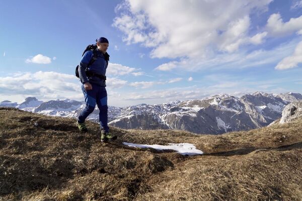
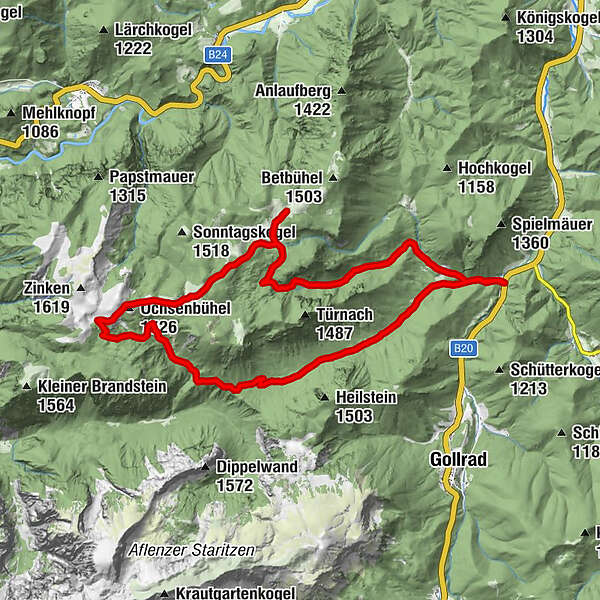
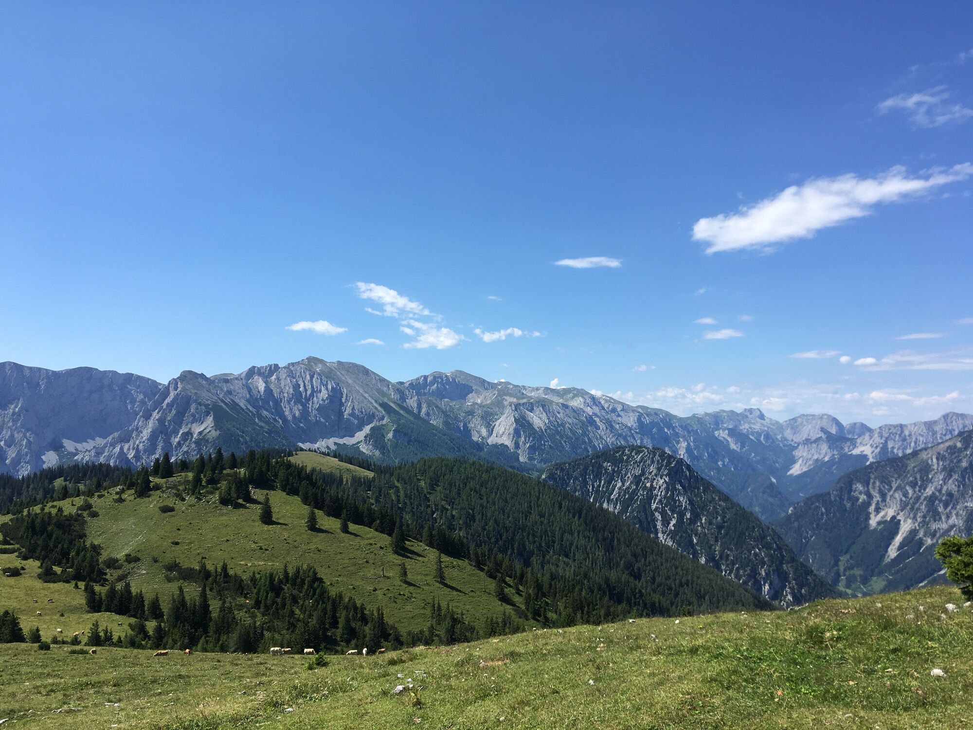
The Zeller Staritzen in the district of Gußwerk belong to one of the most beautiful hikes in the Mariazell region.
- Difficulty
-
medium
- Rating
-
- Starting point
-
Wegscheid - Ramertal bus stop
- Route
-
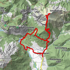
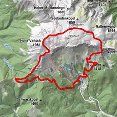
Ochsenbühel (1,526 m)10.4 kmHalterhütte11.0 kmKastenriegel (1,094 m)14.7 km
- Best season
-
JanFebMarAprMayJunJulAugSepOctNovDec
- Description
-
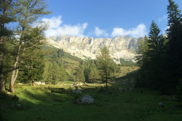
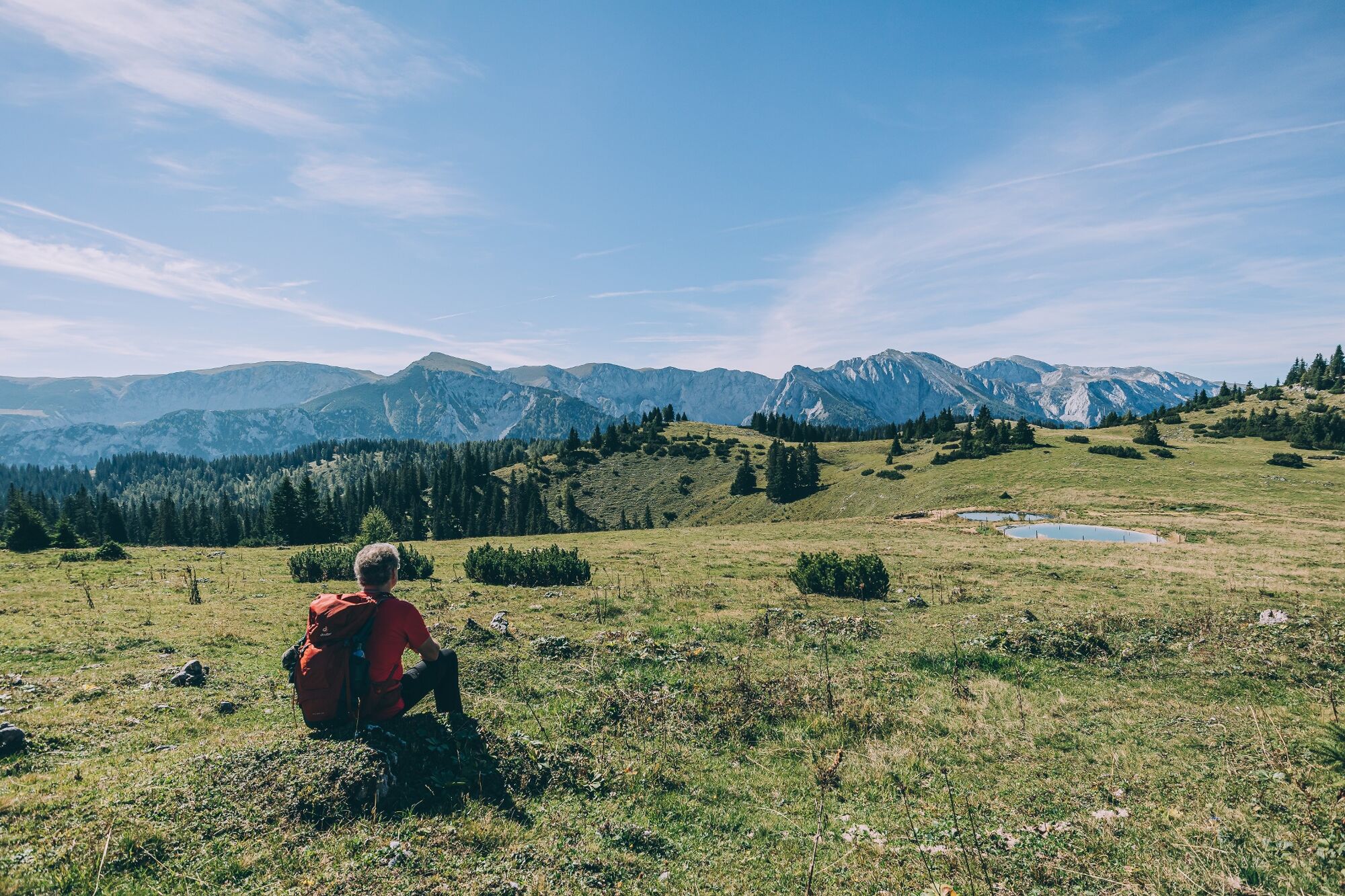
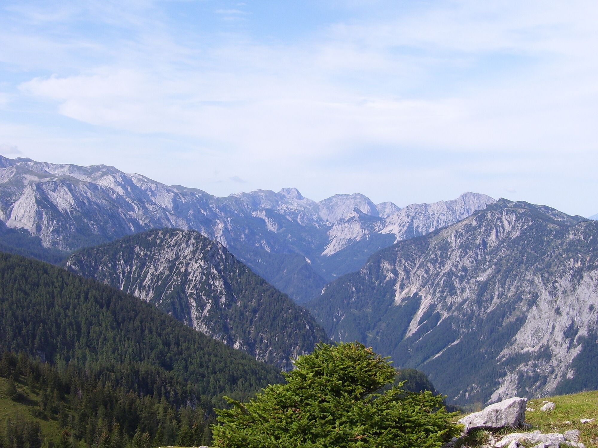
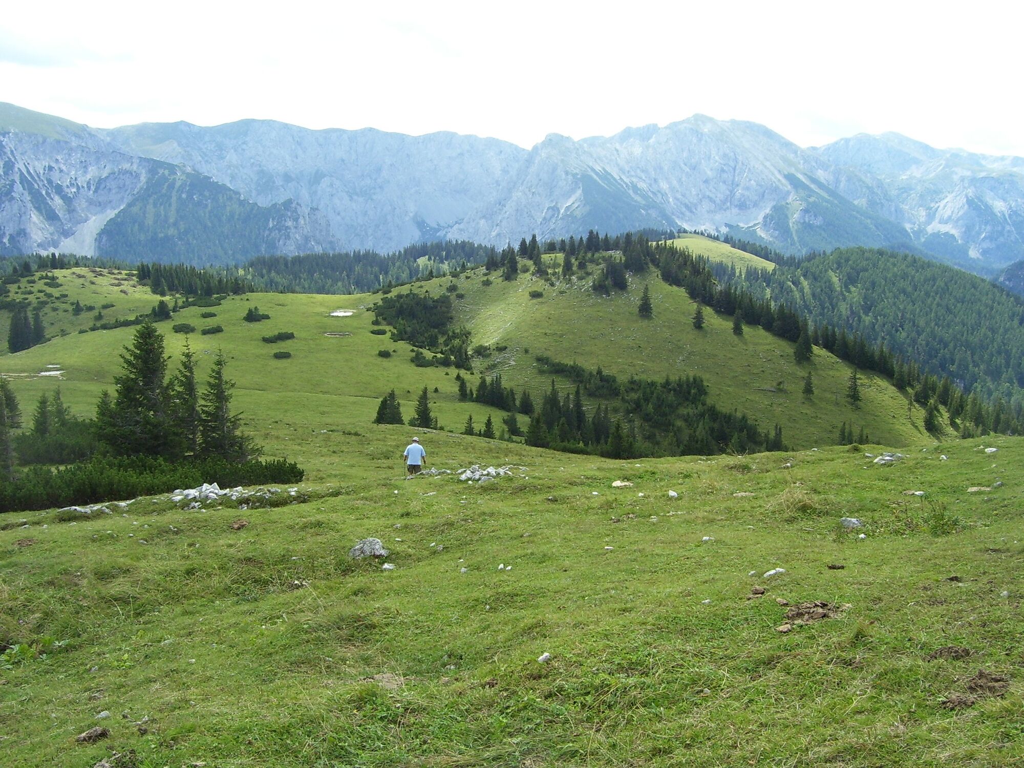
From the stop Wegscheid Ramertal we first climb to the Vordere Staritze. From there, we follow a wonderful alpine landscape on an easy path to the Hintere Staritze. After another short rest and refreshment at the hut, we now have the descent to the Kastenriegel ahead of us. From here we now have a magnificent view of the Hintere Höll. On an easy footpath we then return to the starting point.
Walking times:
Crossing: 7 hours Kastenriegel - summit cross: 2 hoursHere you can find a blog report by Fred Lindmoser with many more pictures!
- Directions
-
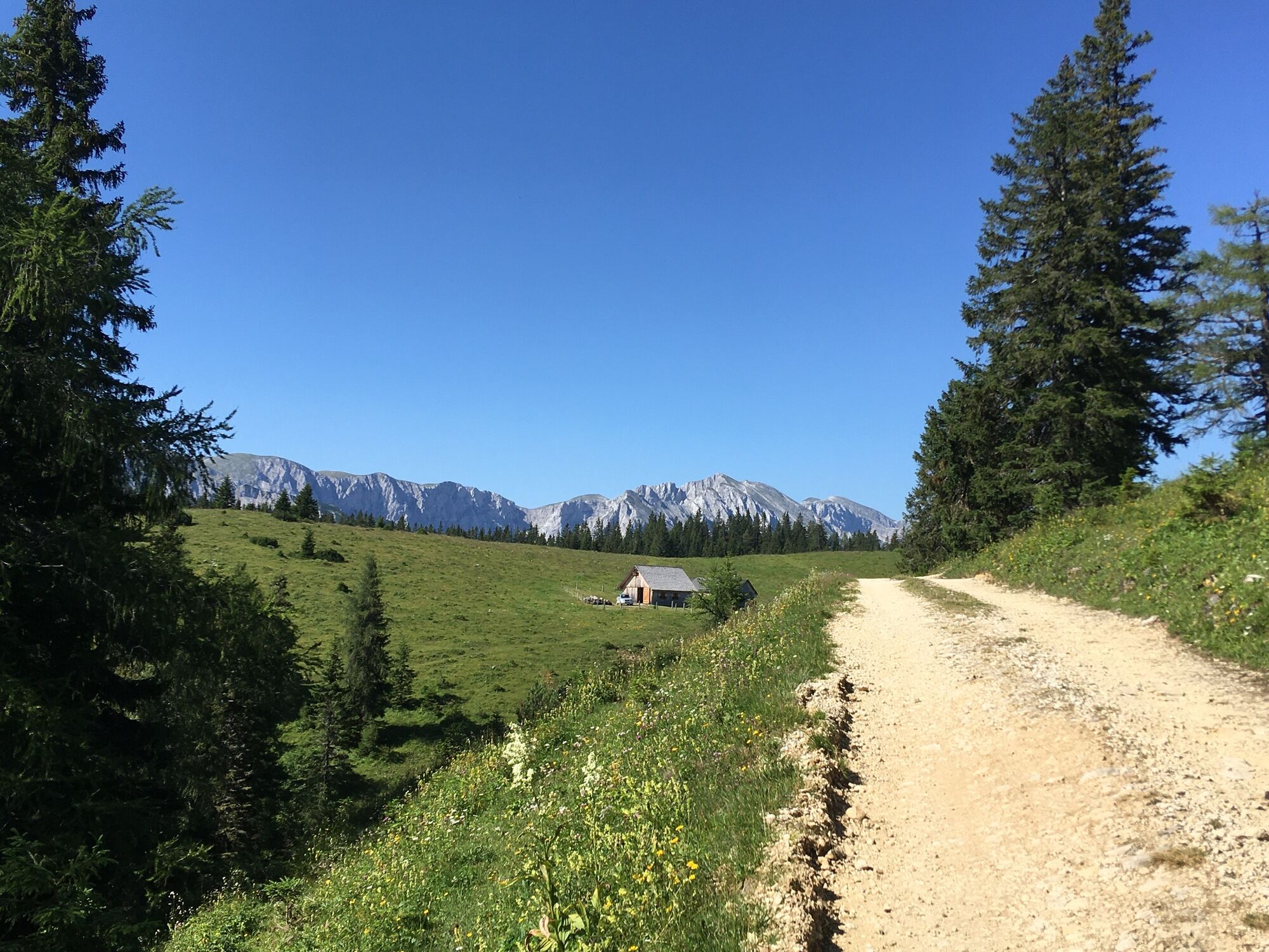
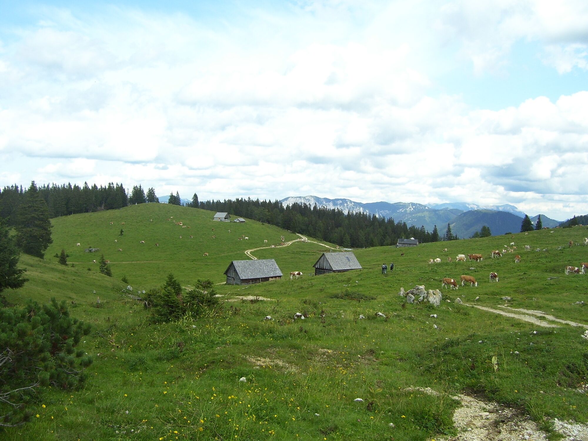
From stop Wegscheid Ramertal we walk along the forest road until the 3rd fork - here we turn left onto the forest road through the Türntal. After the barrier there is a steeper climb up to the cattle gate at the Leonhard picture - we continue to follow the alpine road to the fork. On the right we can branch off to the Vordere Staritzenhütte (additional 0.5 hours walking time one way). However, we go left following the road across alpine pastures to the huts on the Kuhalm, over the climb to the Gredlhöhe and further over a saddle on the Ochsenbühel on the alpine road directly to the Hintere Staritzenhütte.
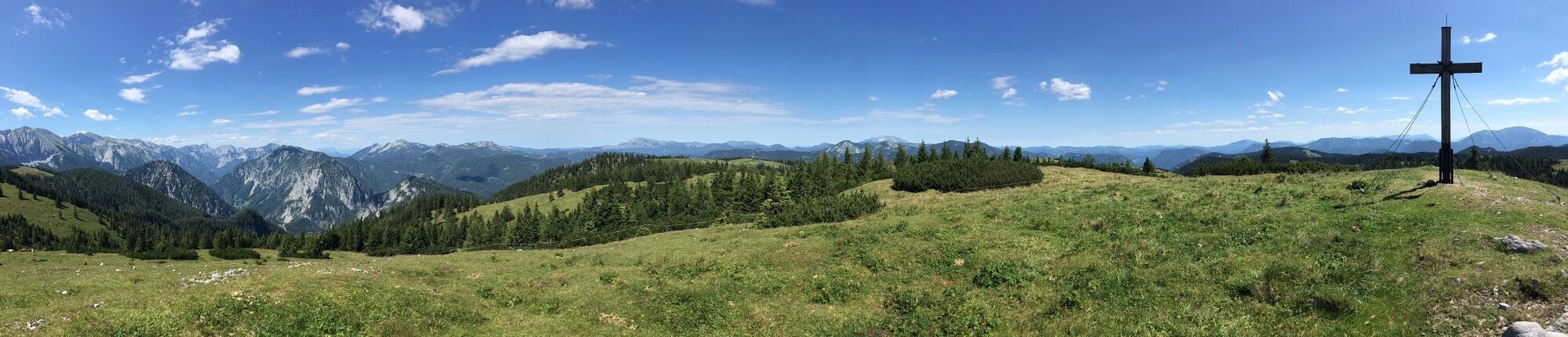
If you want to go to the summit, go up to the right - in the direction of Zinken - over a stony steep slope and at the top continue over the meadow areas to the summit (1,619 m, magnificent panoramic view!) From the summit cross we descend in a southeasterly direction to the Hintere Staritzenhütte and then continue on the alpine road.
Shortly after, we turn right and follow the trail tracks downhill into a hollow. At the fence we go left on the footbridge further down through the forest to the forest road and follow this along to Kastenriegel. If you have the car at the bus stop, follow the forest road to the left and come out through the Ramer valley to the starting point at the bus stop.
- Highest point
- 1,538 m
- Endpoint
-
Wegscheid - Ramertal bus stop
- Height profile
-

- Equipment
-
Sturdy shoes necessary.
Proper backpacking makes many things easier: pack heavy things first. The water bottle should always be within easy reach in a side pocket. All things that are often needed such as sunglasses, camera or hiking map belong on top. An emergency kit including blister plaster belongs in every backpack and a clothing according to the "onion system" is always recommended!
- Safety instructions
-
Emergency call mountain rescue: 140
Emergency reporting tip - provide answers to the six W questions: What happened? How many injured? Where did the accident happen (possibly GPS coordinates)? Who is reporting (callback number)? When did the accident happen? Weather at the accident site?
- Tips
-
Refreshment stop:
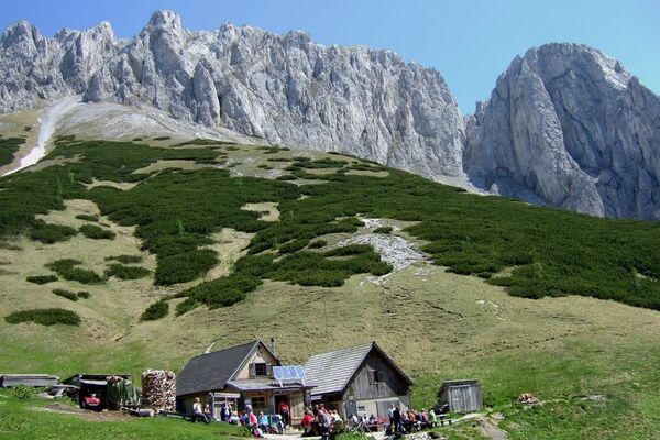
Sennhütte on the Hintere Staritze: managed approx. mid-June to mid-September
- Additional information
- Directions
-
By car coming from Mariazell: B20 in the direction of Bruck an der Mur - approx. 200 meters after the village Wegscheid you will find the turnoff to the Ramer valley.
Coming from Bruck an der Mur in the direction of Mariazell - approx. 2 kilometers after the village of Gollrad on the left-hand side.
With the bus line 172 from Bruck an der Mur or Mariazell
- Public transportation
- Parking
-
Parking lot in Wegscheid, or by car through the Ramer valley to the Kastenriegel - parking lot.


- Author
-
The tour Zeller Staritzen - round trip is used by outdooractive.com provided.


General info
-
Mostviertel
2453
-
Mariazellerland
1503
-
Seewiesen / Seeberg
371