


- Brief description
-
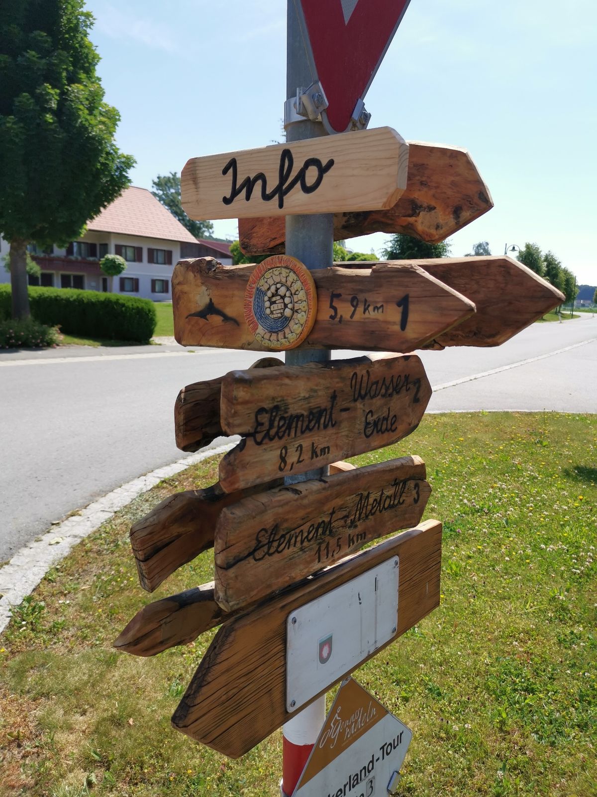
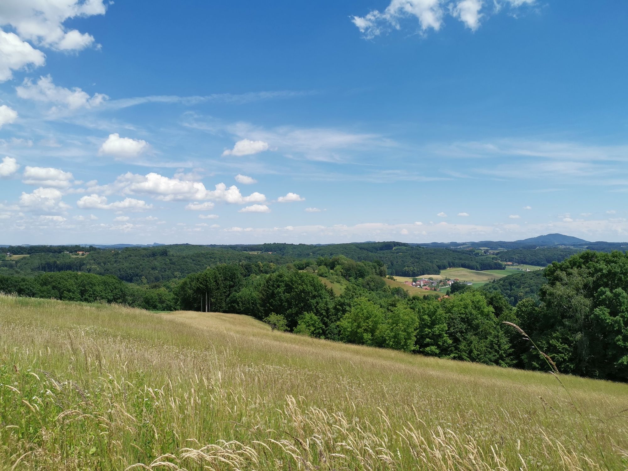
5 stations with 5 elements that lead through a part of the beautiful Volcano and Thermal Land. This trail is part of the 5 elements trail.
- Difficulty
-
medium
- Rating
-
- Starting point
-
Village square (Dorfplatz) Wörth
- Route
-
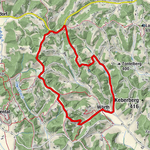
Mondschein StüberlWörthWolfgraben0.9 kmBaumgarten bei Gnas2.3 kmBrandlegg3.5 kmSchoberkapelle4.8 kmLichtenegg7.5 kmKögerlegg (440 m)9.4 kmBuschenschank Zach9.7 kmKögerlegg10.8 kmWörth11.0 kmMondschein Stüberl11.1 km
- Best season
-
JanFebMarAprMayJunJulAugSepOctNovDec
- Description
-
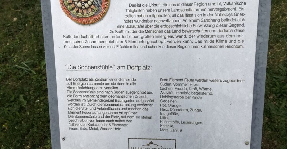
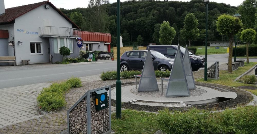
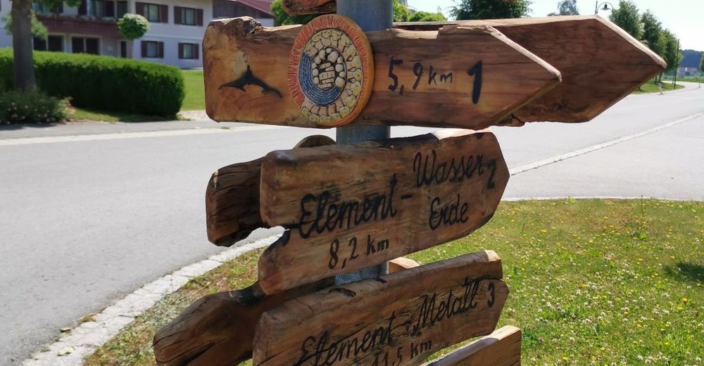
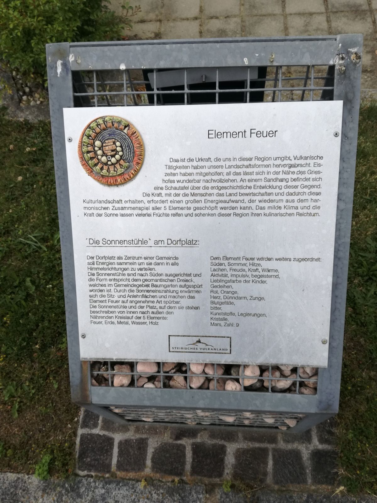
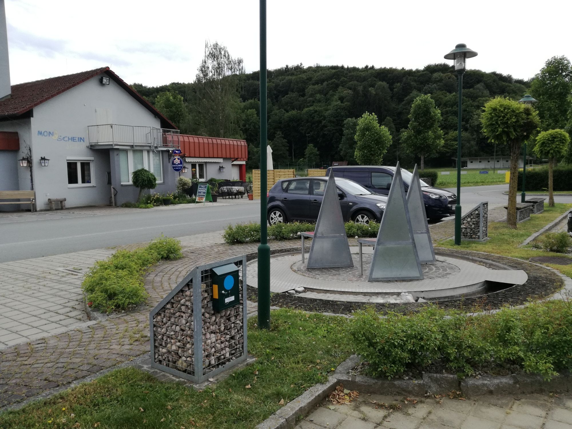
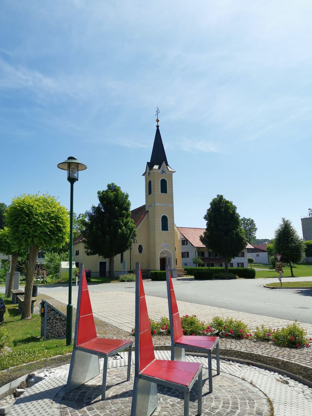
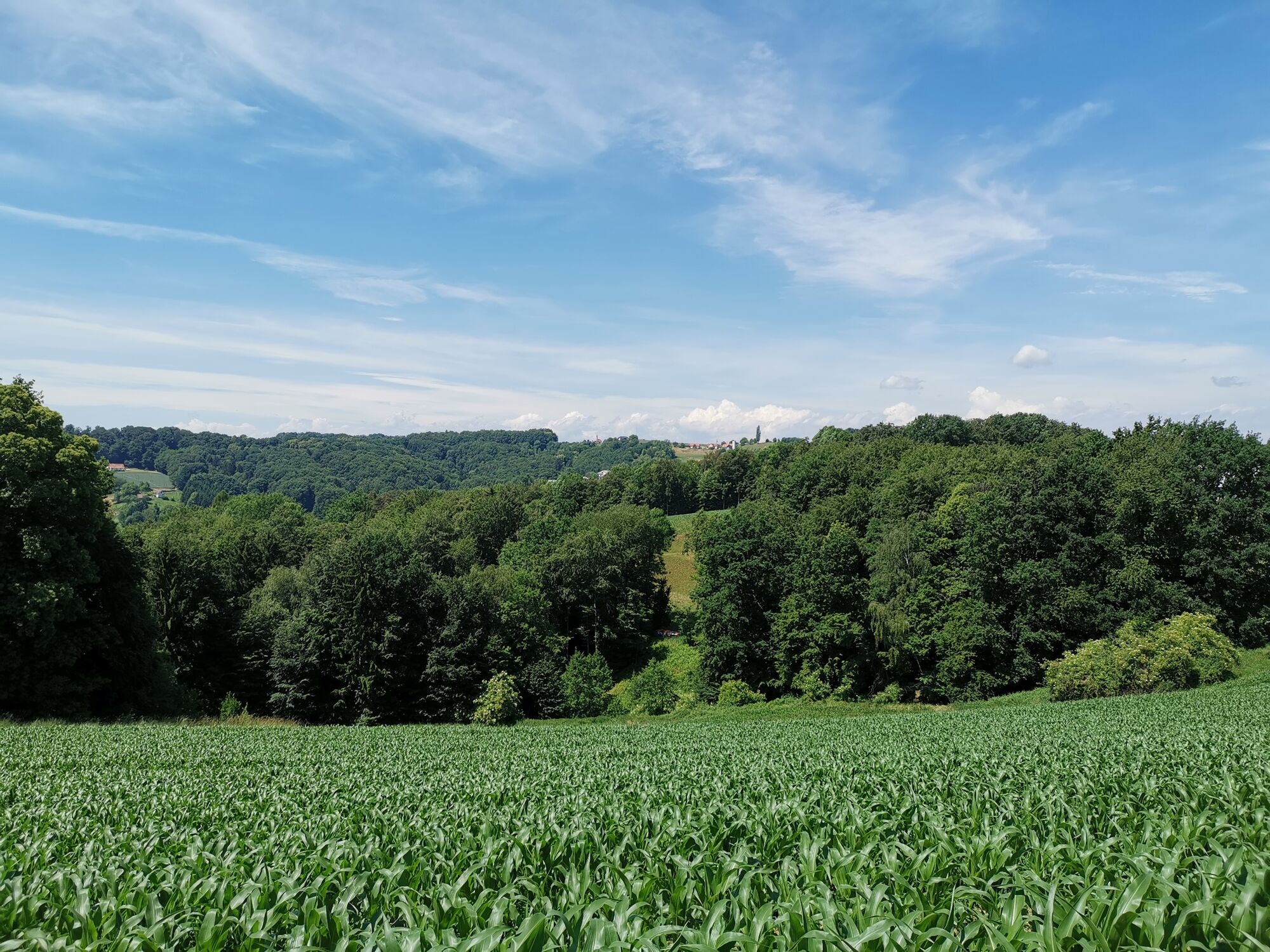
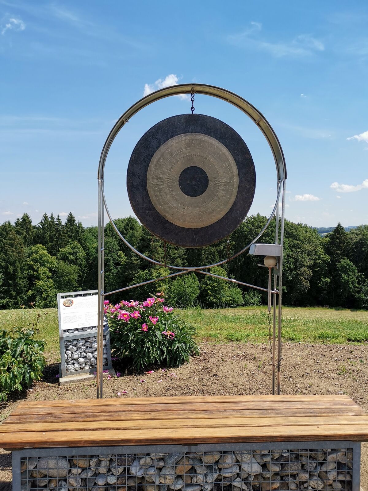
Experience this wonderful landscape and at the same time learn something of the elemental teachings, as they contain the Spiritual Feng Shui among other things. The qualities of these 5 elements can be wonderfully understood in relation to the landscape and the people who live here. Along the circular path No. 3 you will find the following elements: element fire, element metal.
- Directions
-
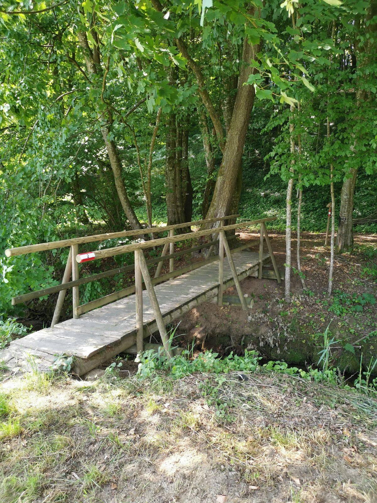
Wörth direction south to the end of the village, to the left, Suppan fish pond, through the district of Baumgarten, at the wayside shrine straight ahead for about 300 m, left ascending through a forest. At a seating area you will see the Lichtenegg Chapel. Right further on the high trail to the "element metal" - the gong at the Brandlegg" - panoramic view as well as beautiful sunrise or sunset to observe. Beautiful view to the Riegersburg, left short piece of country road direction Toter Mann - Lichtenegg, along the high trail left to BSHirschmann, Bastelstube Weiß, sports facility, MondscheinStüberl, village square Wörth, element "fire.
- Highest point
- 450 m
- Endpoint
-
Village square (Dorfplatz) Wörth
- Height profile
-

- Equipment
-
Backpack with water bottle and snack
Comfortable walking shoes
Comfortable clothing
Hiking or Nordic walking sticks
Rain protection
Cell phone
Cash - Safety instructions
-
Alpine emergency call: Mountain rescue emergency number: 140
EU emergency call: 112
Emergency call fire department: 122
Emergency call police: 133
Emergency call rescue: 144
Weather service: www.zamg.ac.at
Direct link mountain weather Styria: https://www.zamg.ac.at/cms/de/wetter/produkte-und-services/bergwetter/steiermark
- Tips
-
Plan also for your next tours the 5-element trail. This has 3 stages and offers hiking pleasure!
- Additional information
- Directions
- Public transportation
-
Timetables and travel information can be found directly at: Austrian Federal Railways (ÖBB), Steiermärkische Landesbahnen (STLB), www.busbahnbim.at.
With the BusBahnBim app from Verbundlinie, timetable information has never been easier: all bus, train and streetcar connections in Austria can be queried by entering locations and/or addresses, stops or important points. The app is available as a free app for smartphones (Android, iOS) - on Google Play and in the App Store.
- Parking
-
Free parking available at the starting point


-

-
AuthorThe tour 5 elements track (5-Elemente Weg) - route 3 is used by outdooractive.com provided.


General info
-
Oststeiermark
2126
-
Region Gleisdorf
1005
-
St. Stefan im Rosental
75


