- Brief description
-
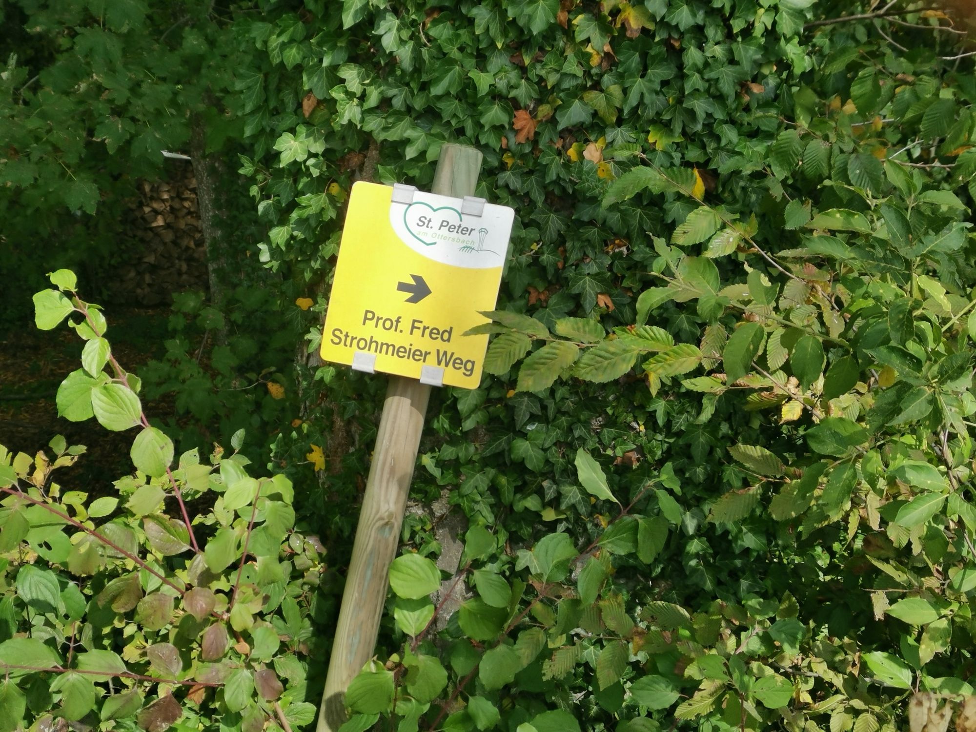
Who was Professor Fred Strohmeier? Professor Fred Strohmeier was the son of a chaste family in Khünegg. Already in the country youth he was known for his stories. In addition to his work as an editor and chief editor at the "Neues Land", he began to write plays, novels and Gschicht'n. Fred Strohmaier died in 1999 at the age of 57.
- Difficulty
-
medium
- Rating
-
- Starting point
-
Petersplatz
- Route
-
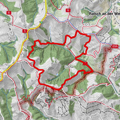
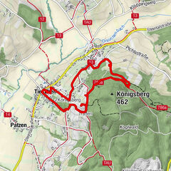
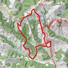
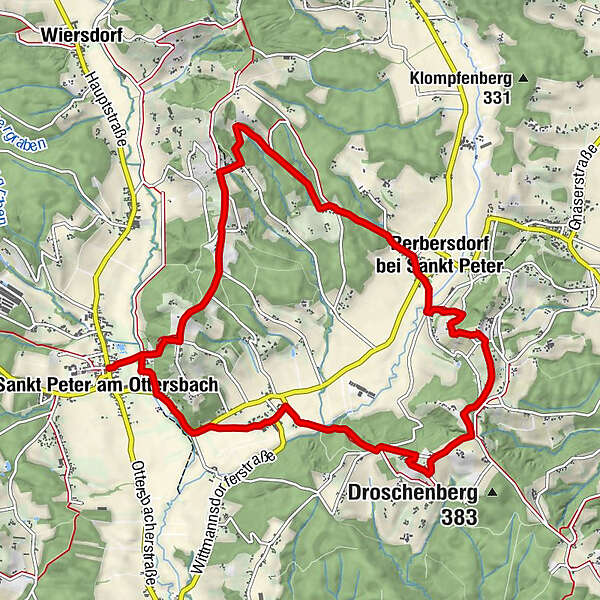
Sankt Peter am OttersbachPfarrkirche Sankt Peter am OttersbachEdla1.9 kmNiederberg4.6 kmPerbersdorf bei Sankt Peter6.7 kmWirtshaus zum Berger Schlössl9.3 kmEntschendorfberg9.4 kmKalvarienberg11.0 kmSankt Peter am Ottersbach11.5 km
- Best season
-
JanFebMarAprMayJunJulAugSepOctNovDec
- Description
-
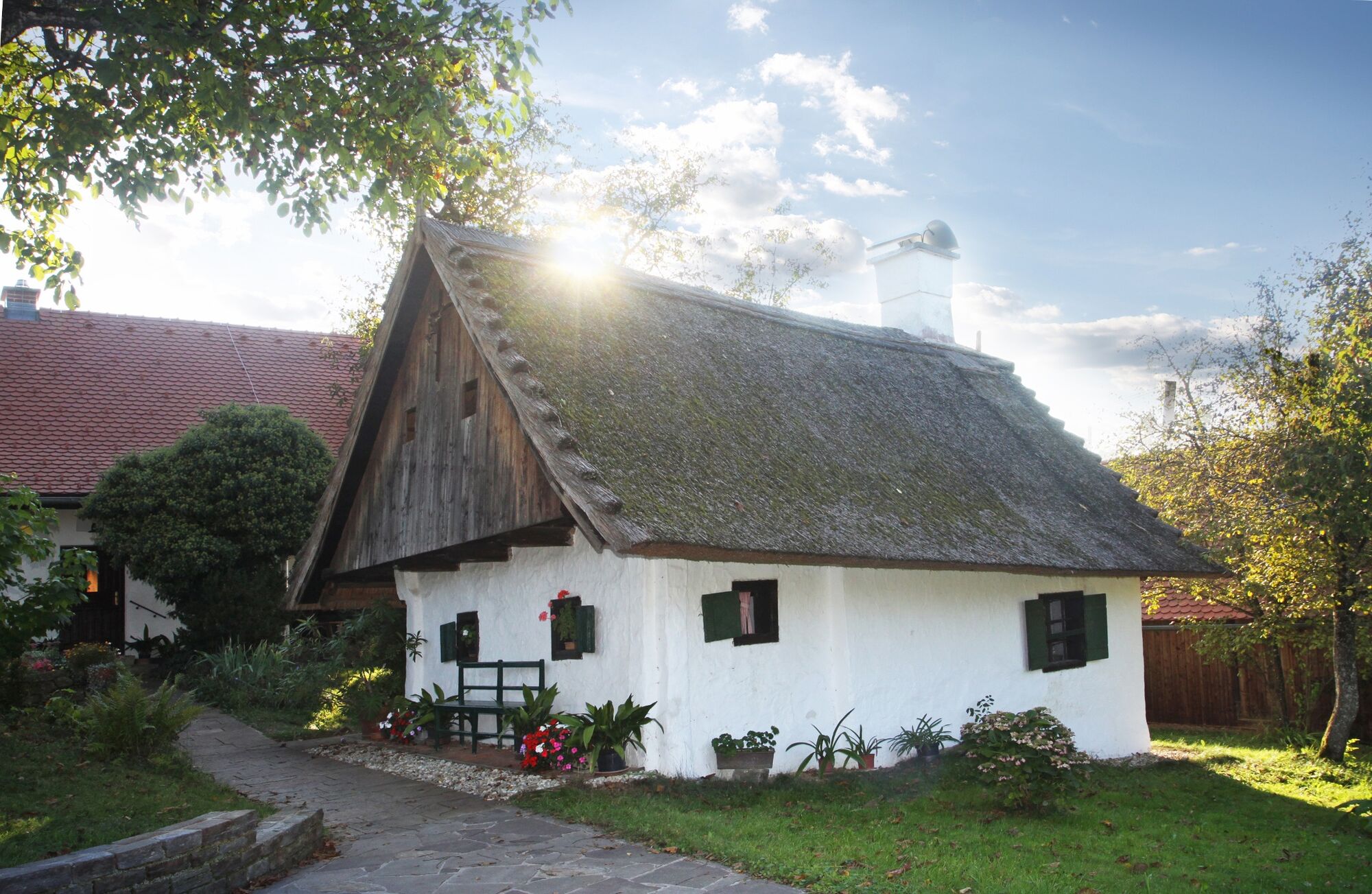
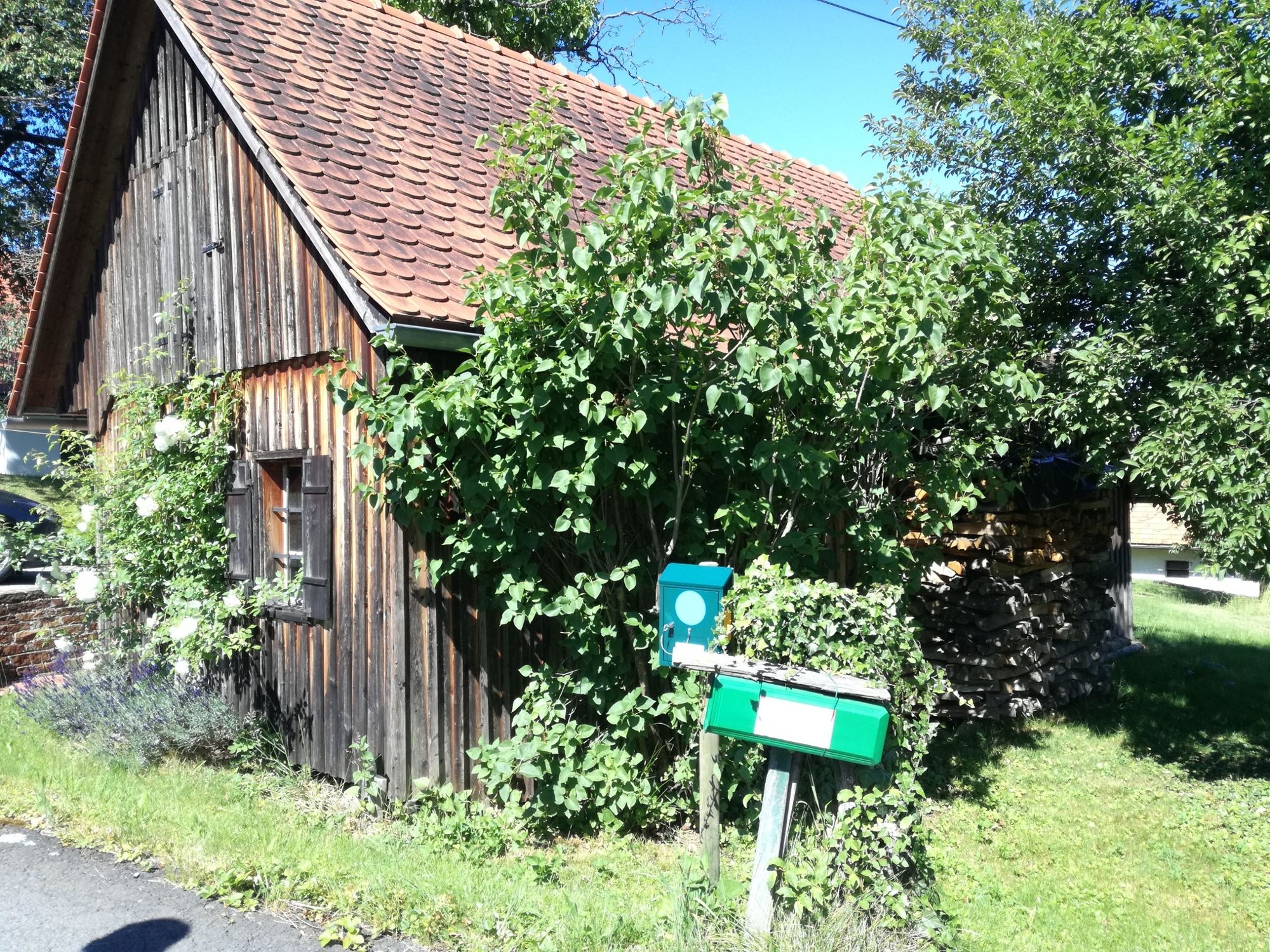
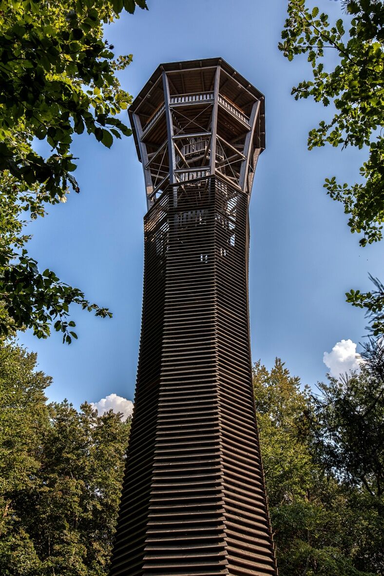
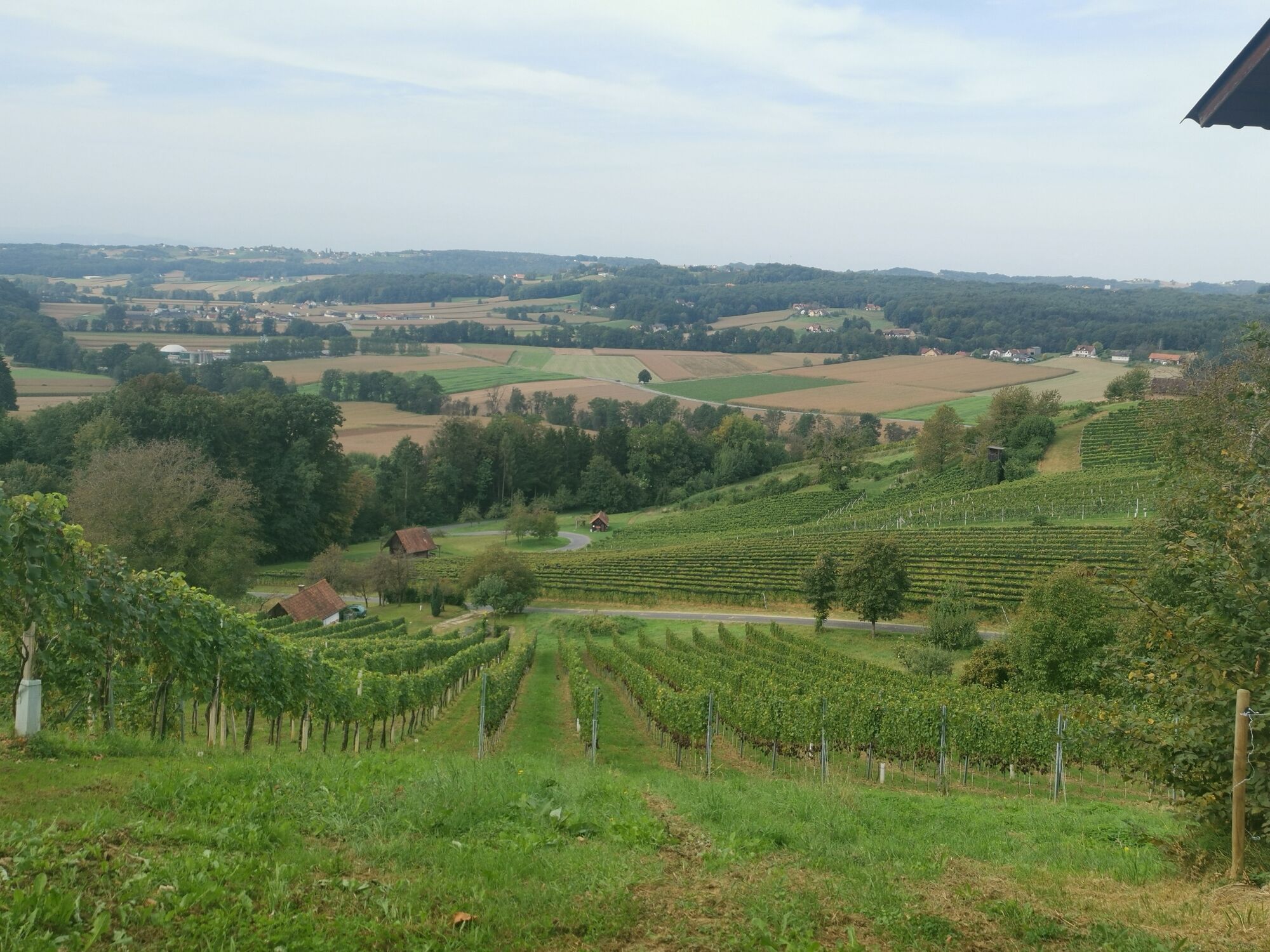
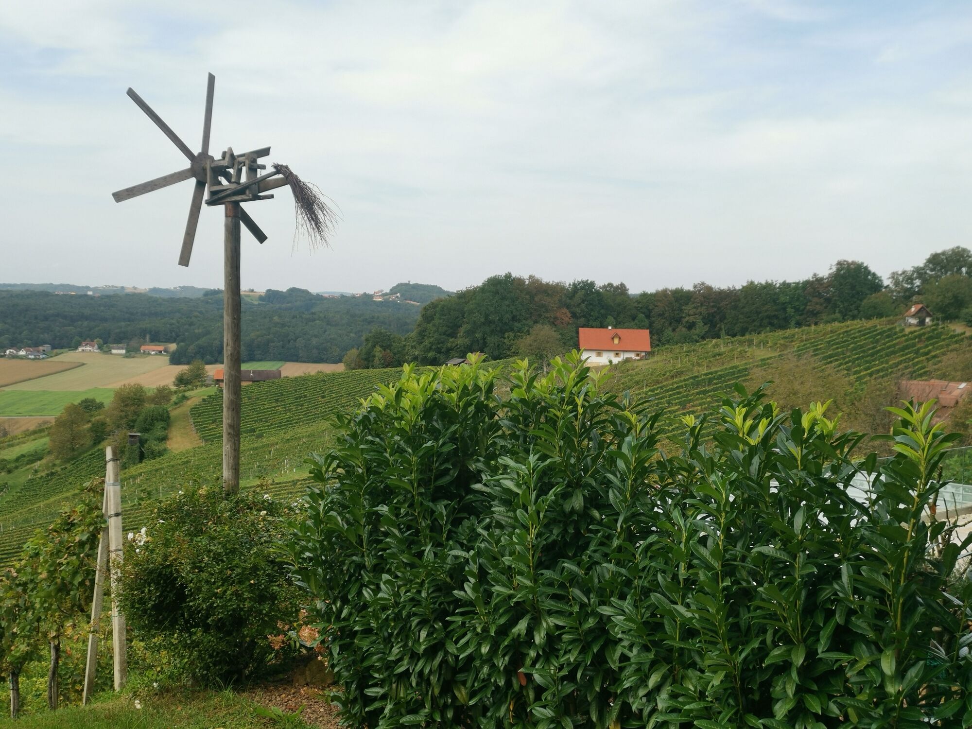
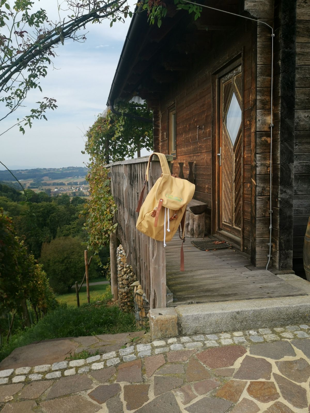
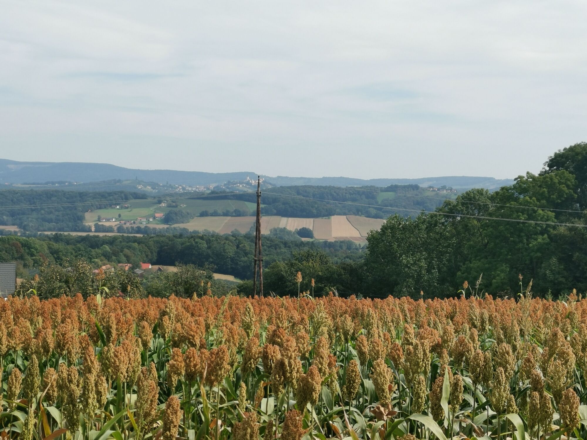
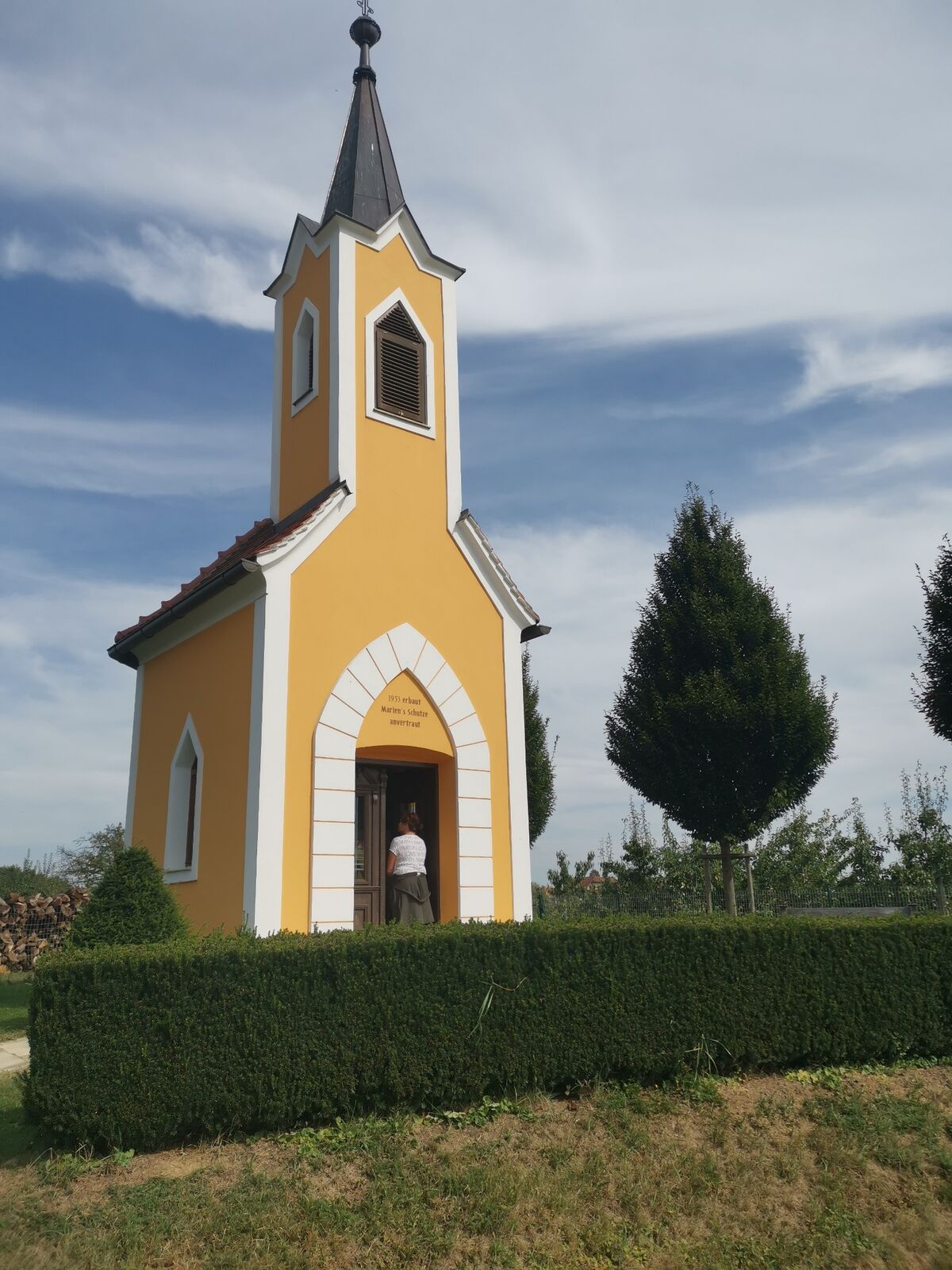
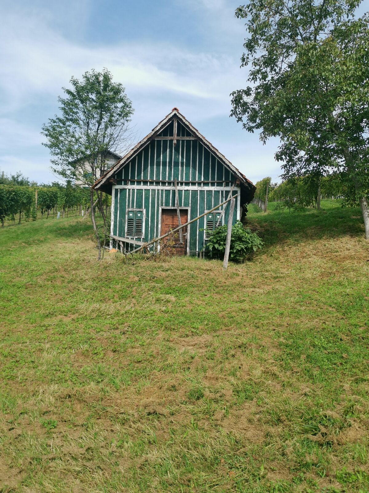
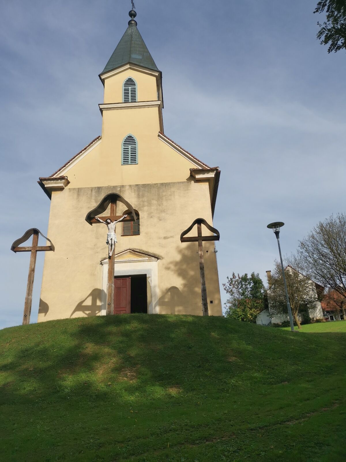
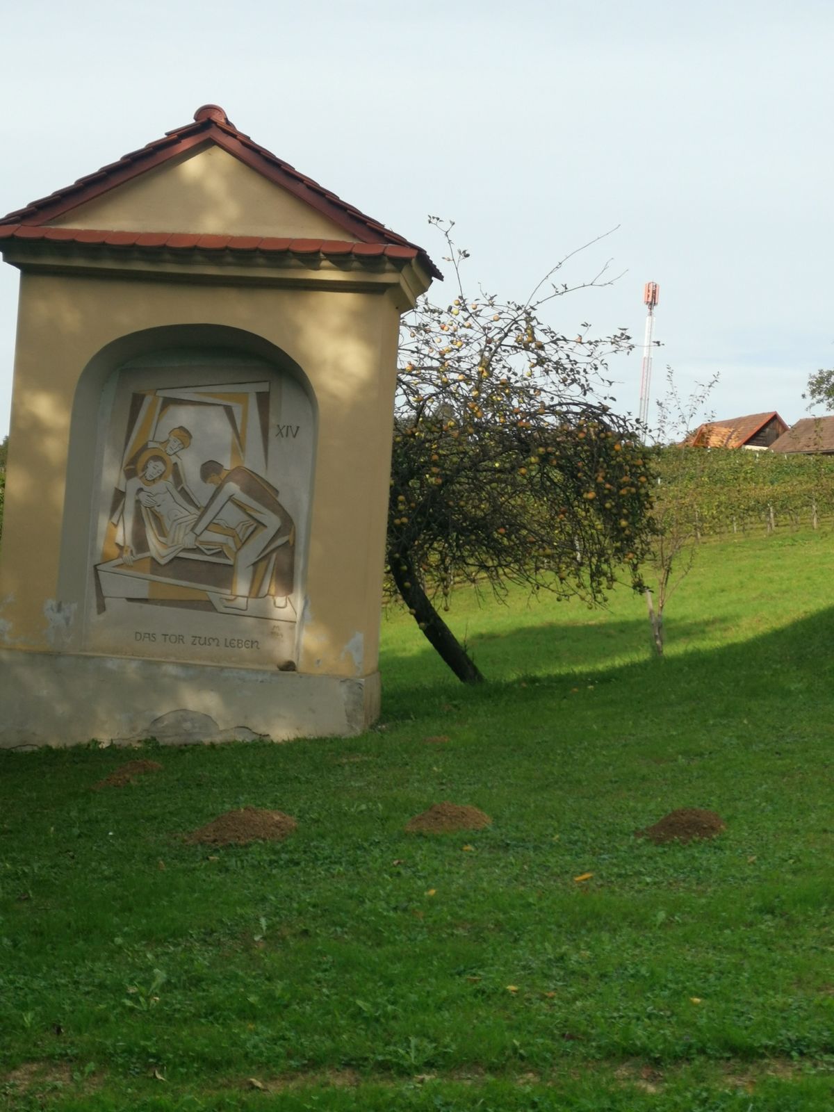
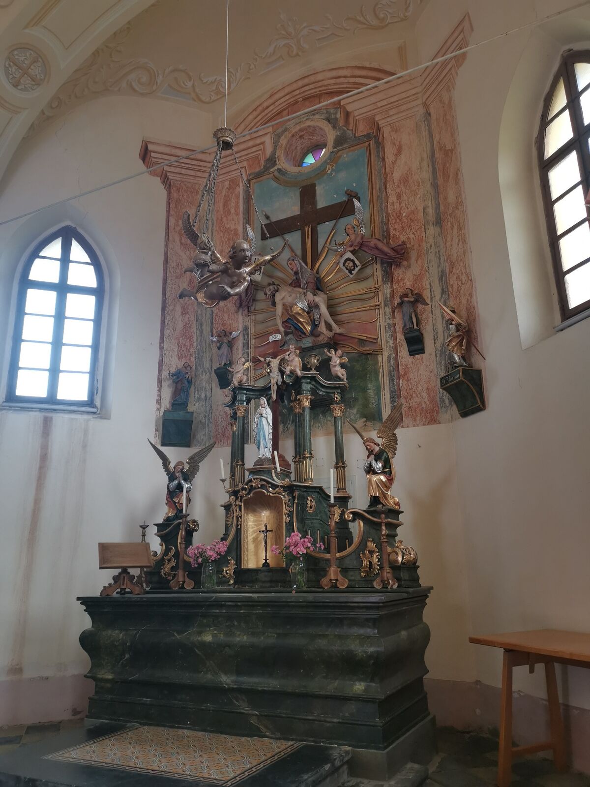
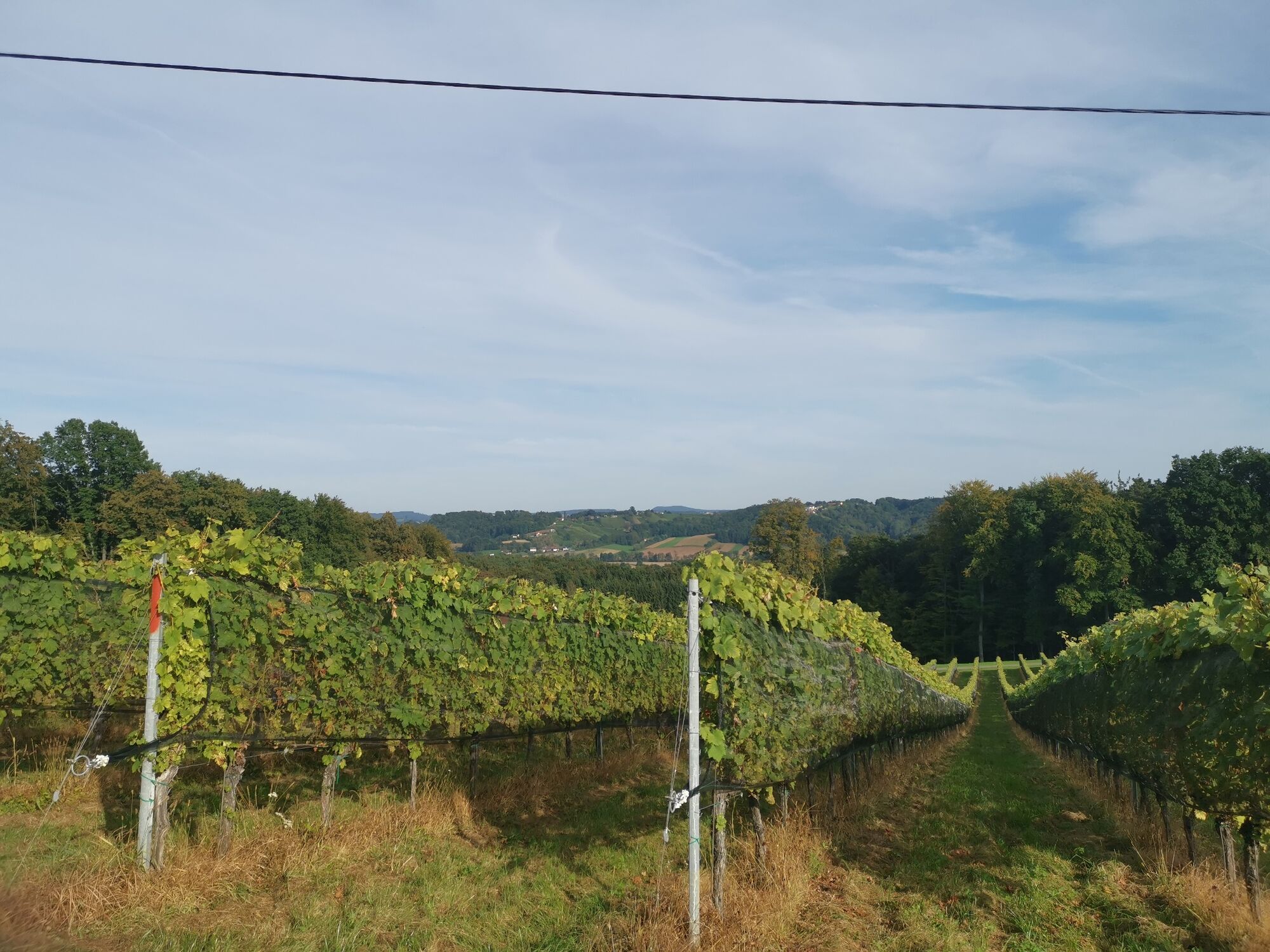
The hike starts at Petersplatz and continues along the path to the recreational facility. The hiking trail leads together with the Wine and Mill Trail south to the Ottersbach Bridge. Here the two paths separate - the Fred Strohmaier Weg now continues to Edla, past meadows and fields over the Auersbach brook up into the forest. Here you reach Khünegg, the birthplace of Fred Strohmaier. His birthplace is covered with straw and offers interested visitors an insight into his life. Your hike leads along the ridge with a great view. A few museums await you in Perbersdorf before the trail continues to the Weinwarte. Enjoy the view! Along the next ridge, past Austria's only cigar producer to the Calvary Chapel and from here via the Way of the Cross and the recreational area back to the starting point.
- Directions
-
Start of the hiking trail is Petersplatz - continue to the leisure center. From there, the Fred Stohmeierweg and the Wein und Mühlenweg run south to the Ottersbach bridge. The Fred Strohmeierweg goes left at the Ottersbach bridge in the direction of Edla before passing meadows and fields over the Auersbach into the forest up to Khünegg. Here you will reach the house where Prof. Fred Strohmaier was born. Our hike takes us further to Weinhof Reichmann (great view) along the ridge to Buschenschank Kummer and then to Perbersdorf: Tractor Museum Wildermuseum and further to the lookout (Weinwarte) and next to it the Berglerschlössl. Along the ridge in a southerly direction past the Rauch wine farm, which is also a cigar producer, to the Calvary Chapel, the Way of the Cross in the direction of the leisure center and Peterplatz.
- Highest point
- 372 m
- Endpoint
-
Petersplatz
- Height profile
-

- Equipment
-
good and comfortable shoes
Walking sticks if desired
Backpack filled with water bottle and snack - Safety instructions
-
Stay on the road
Walk on the side of the road - Tips
-
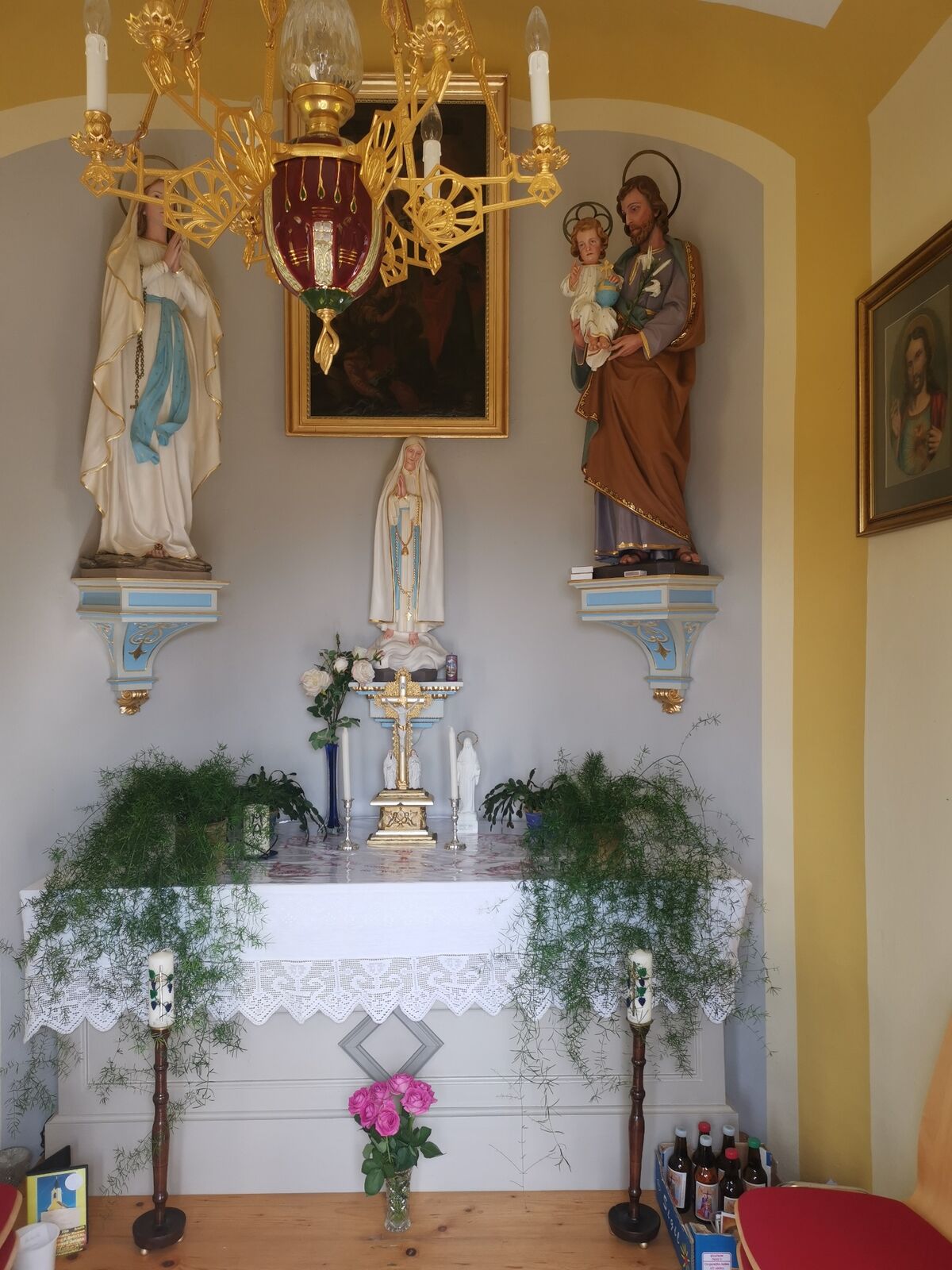
Visit the museums: the Farm and Household Museum and the Photo & Digital Museum await you. Register!
- Additional information
- Directions
- Public transportation
-
Timetables and travel information can be found directly at: Austrian Federal Railways (ÖBB), Steiermärkische Landesbahnen (STLB), www.busbahnbim.at.
With the BusBahnBim app from Verbundlinie, timetable information has never been easier: all bus, train and streetcar connections in Austria can be queried by entering locations and/or addresses, stops or important points. The app is available as a free app for smartphones (Android, iOS) - on Google Play and in the App Store.
By bus to the center of St. Peter am Ottersbach
- Parking
-
free parking available


-
-
AuthorThe tour Prof.-Frede-Strohmeier-Way is used by outdooractive.com provided.


General info
-
Südsteiermark
1135
-
Bad Gleichenberg
372
-
St. Peter am Ottersbach
88