


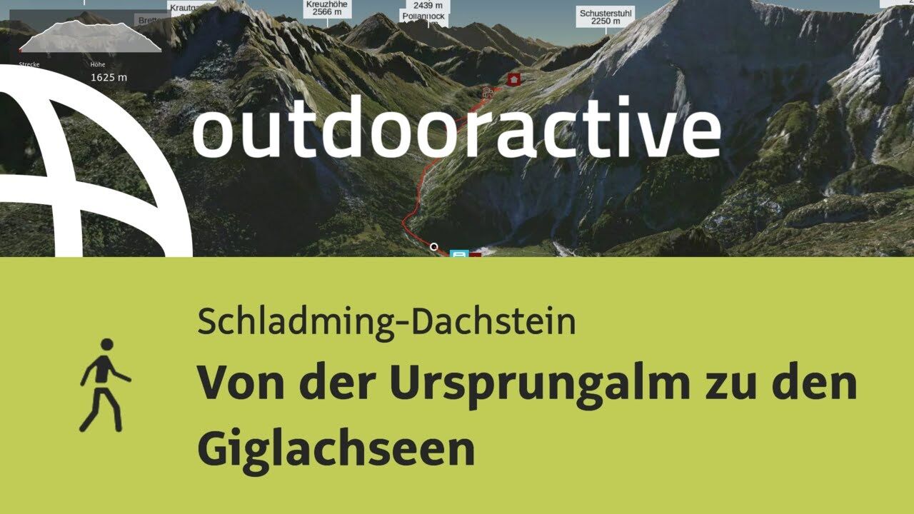
- Brief description
-
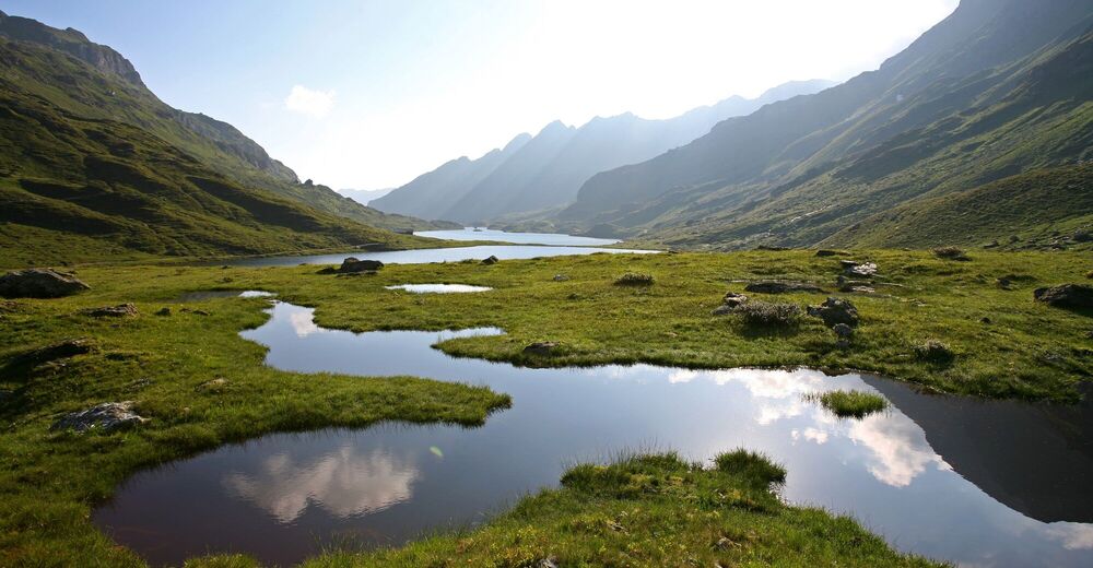
Easy, short hike at elevations between 1700 and 1900 m, on a good trail to two very photogenic mountain lakes with splendid views of the Dachstein.
- Difficulty
-
easy
- Rating
-
- Starting point
-
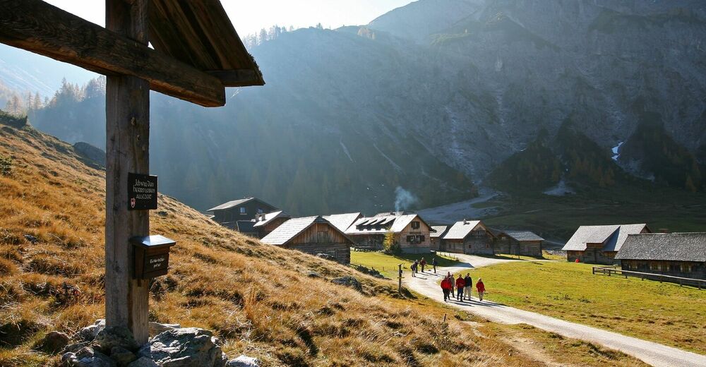
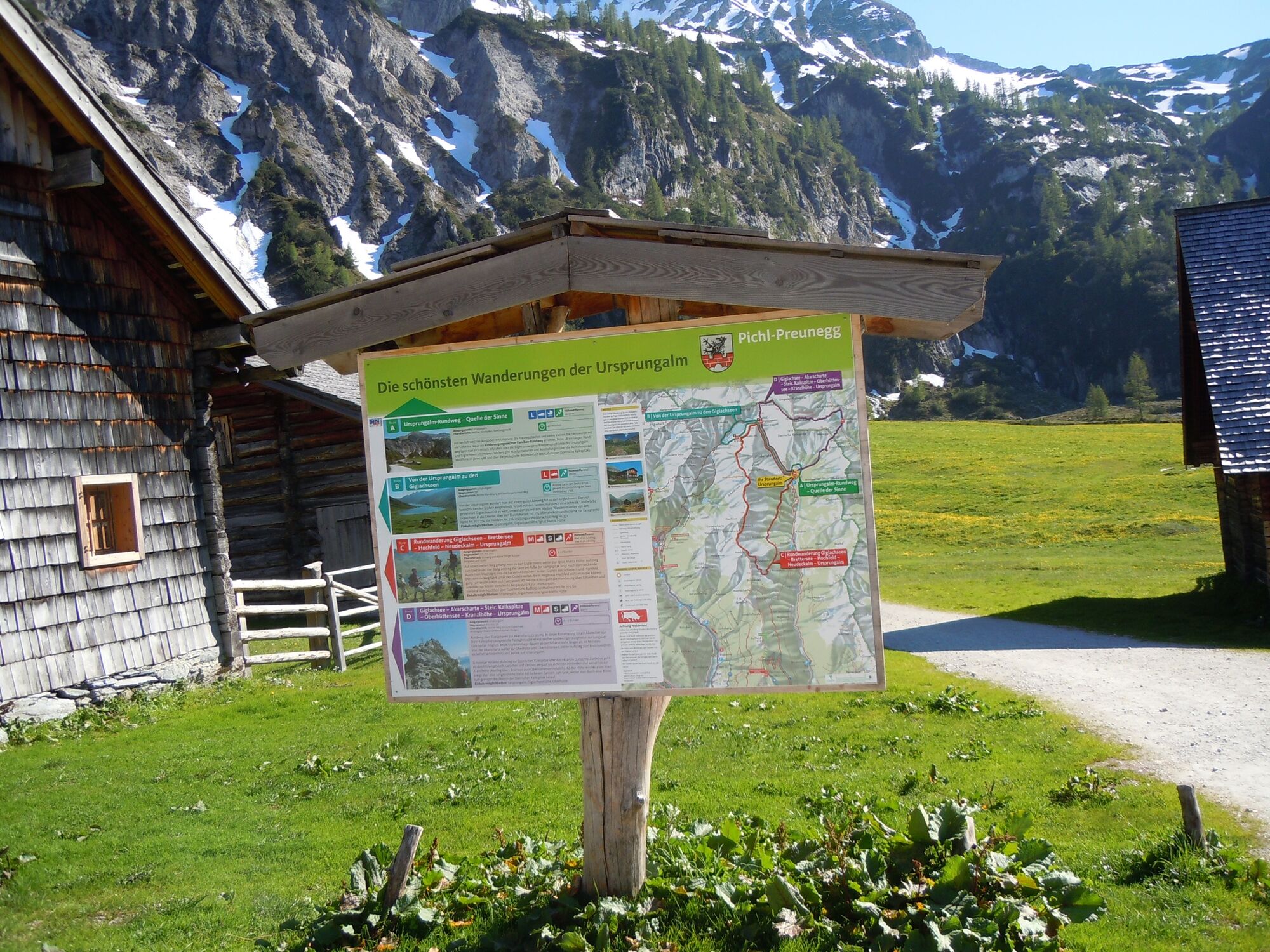
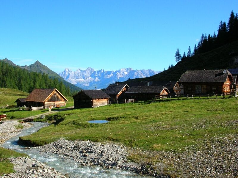
Ursprungalm, Preuneggtal valley
- Route
-
Ursprungalm0.0 kmUrsprung0.2 kmGiglachsee Hütte (1,955 m)2.5 kmIgnaz-Mattis-Hütte (1,986 m)4.2 kmUrsprungalm9.6 km
- Best season
-
JanFebMarAprMayJunJulAugSepOctNovDec
- Description
-
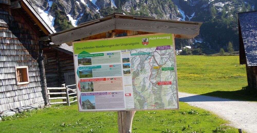
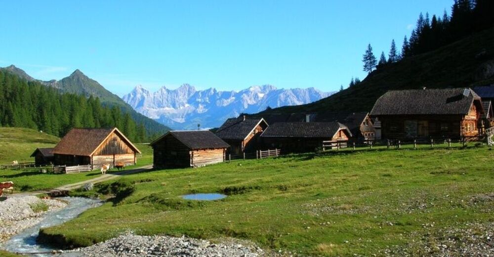
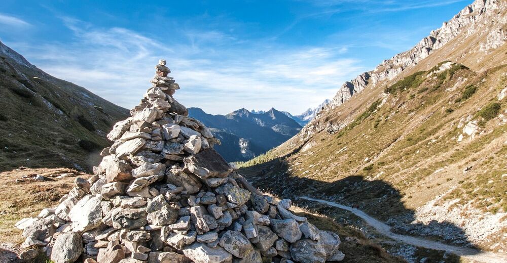
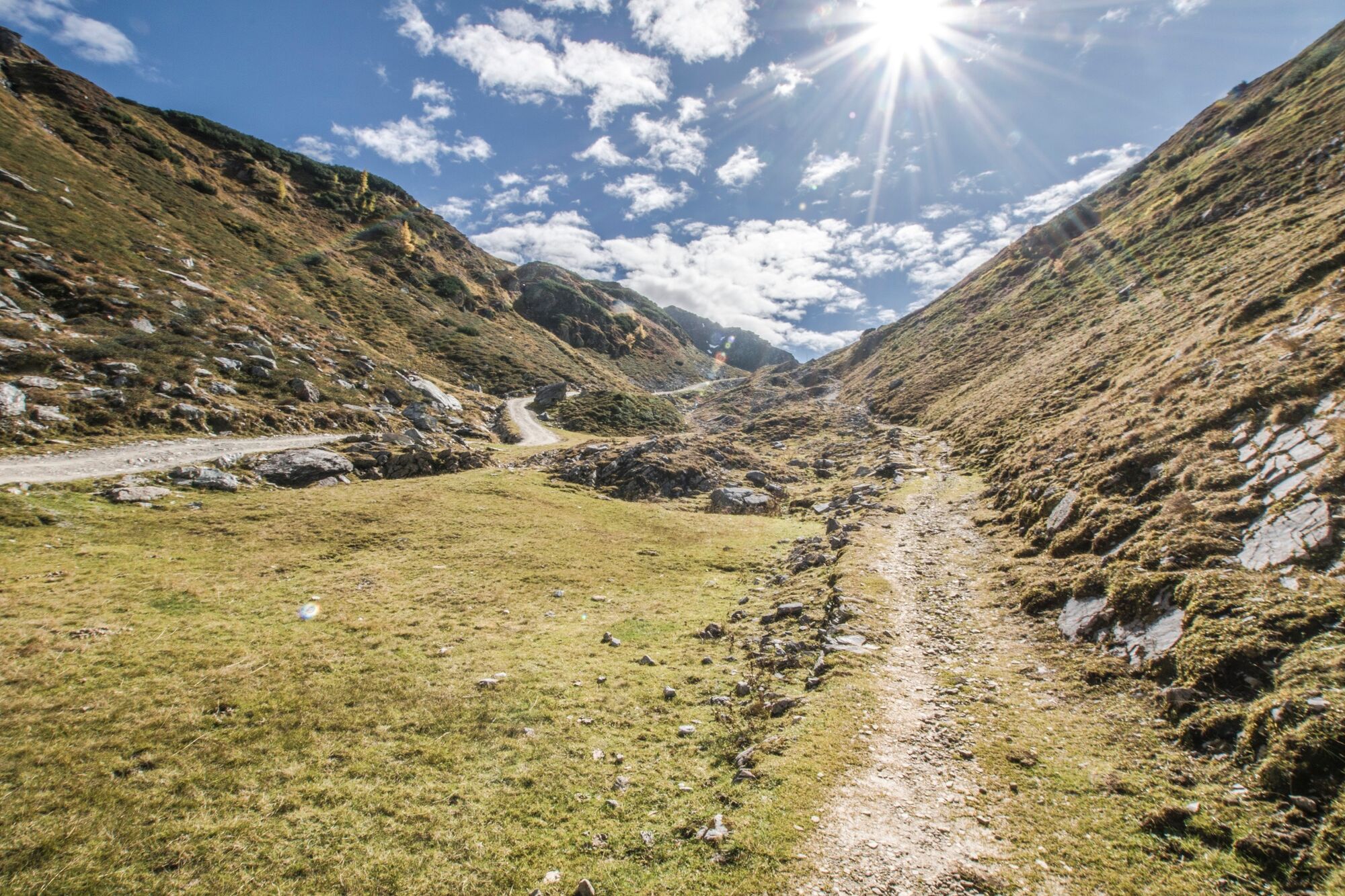
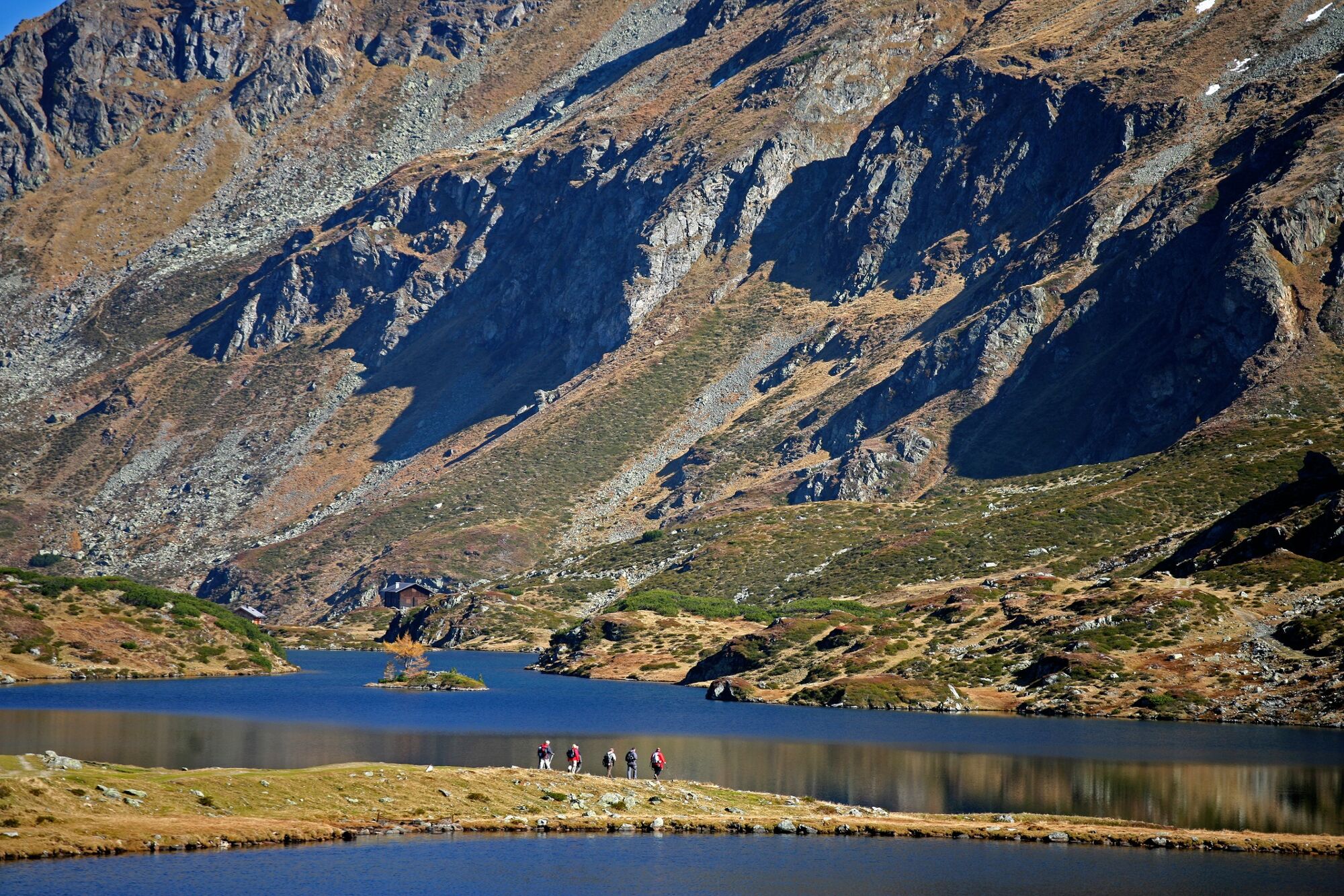
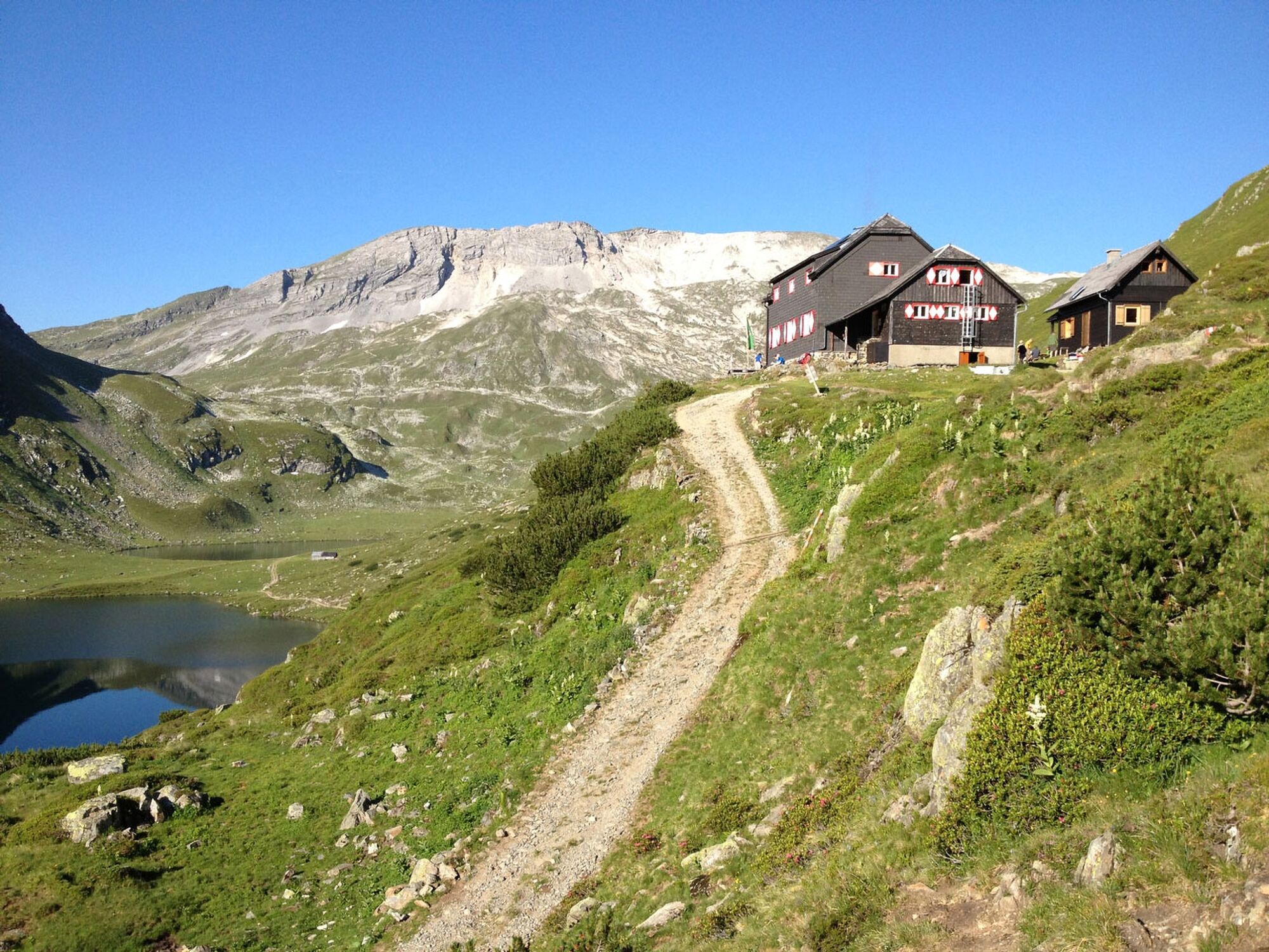
Long, beautifully formed Preuneggtal Valley is accessed via a toll road, with a hiking bus traveling out as far as the Ursprungalm several times a day. This is a small alpine hamlet, enjoying a picturesque setting amid a verdant basin at the foot of the towering Steirische Kalkspitze. Leaving from the Ursprungalm, we hike along a good mountain pathway (way no. 771) and, in about one hour, reach the Giglach Lakes.
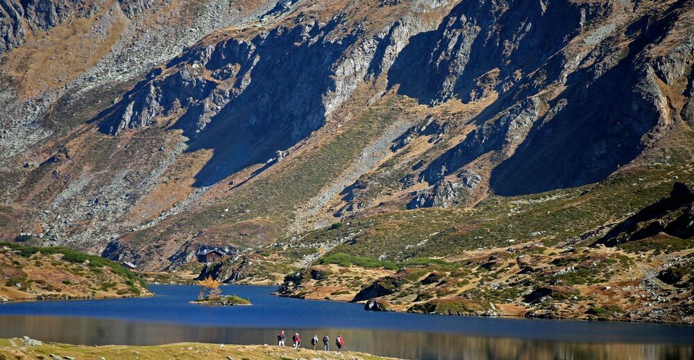
The valley basin is flanked by imposing alpine peaks, while the two lakes are separated only by a narrow strip of land and are definitely worth hiking around. Two alpine refuge huts offer hospitality straight from the heart, accompanied by beautiful views. They serve as important bases at this alpine trail crossroads in the heart of magnificent mountain scenery. - Directions
-
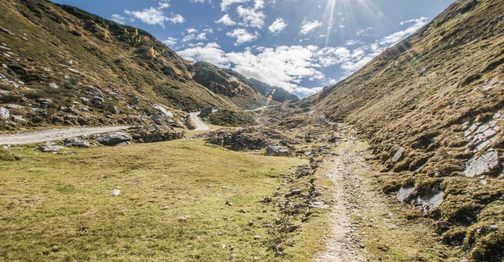
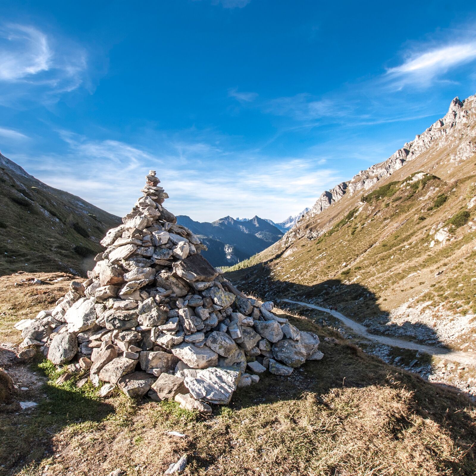
A nice wide trail (n° 771) takes us from Ursprungalm towards the Giglachsee Lakes. The trail ascends fairly steep in the beginning and in the end with flatter sections in between. Reaching Preuneggsattel you grasp the first view into the Giglachkar cirque. We walk along the left side of the Lakes and continue to Ignaz-Mattis-Hütte. Back along the other side of the Lakes we also pass by Giglachseehütte. Again walking past Preuneggsattel we make our way back to Ursprungalm where we started.
- Highest point
- 1,986 m
- Endpoint
-
Ursprungal, Preuneggtal valley
- Height profile
-

- Equipment
-
Sturdy shoes, rain gear
- Safety instructions
-
Changes in weather patterns, quick falls in temperature, thunderstorms, wind, fog and snow are some of the dangers that can be encountered on a hiking tour. Hosts of alpine huts and mountain refuges have a lot of experience in the mountains and can give good advice about weather and the trails. Poor equipment, overestimation of one's own capabilities, carelessness, poor personal constitution and/or wrong judgement can lead to critical situations. In case of thunderstorms: avoid summits, ridges and steel ropes.
GPS data and orienteering
Available GPS data - just like hiking maps - is only a guidance for orientation and can never depict a trail exactly with all its details. Especially at dangerous spots it is essential to judge on site how to proceed.
In an emergency please call:
140 - for Alpine emergencies (all over Austria) 112 - European GSM emergency number - Tips
-
Approximately from half-way up to Preuneggsattel you can also hike along a historic Roman trail.
- Additional information
- Directions
-
From Schladming either via Rohrmoos or Pichl to the Preuneggtal. Starting at Strickbrücke bridge you continue on the toll road to Ursprungalm.
- Public transportation
- Parking
-
Parking area at Ursprungalm.


-

-
AuthorThe tour From the Ursprungalm to the Giglach Lakes is used by outdooractive.com provided.


General info
-
Schladming - Dachstein
3014
-
Obertauern
1644
-
Tweng
308


