
- Brief description
-
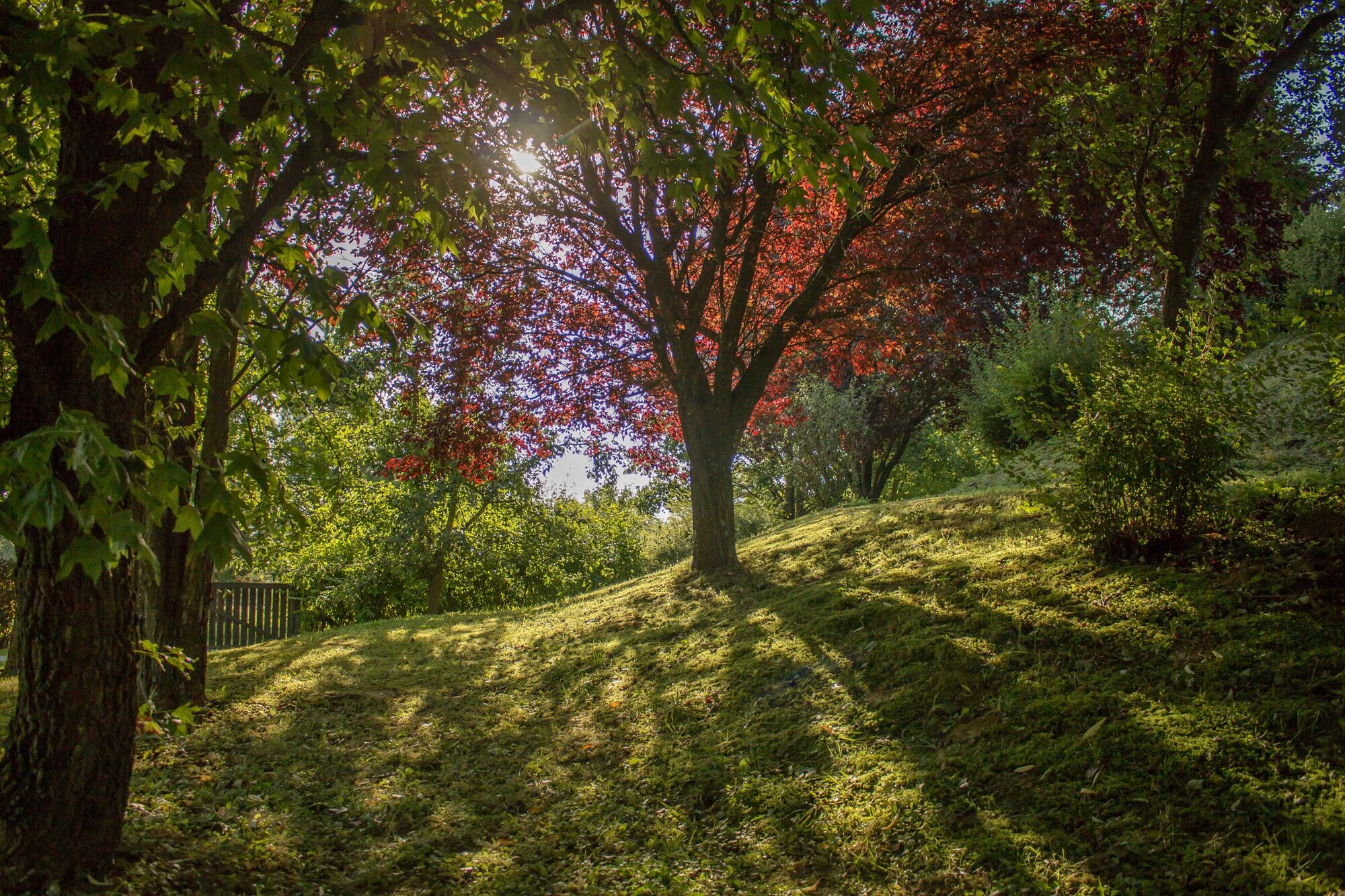
Leisurely walk through the diverse forest landscape with a possible connecting trail.
- Difficulty
-
medium
- Rating
-
- Starting point
-
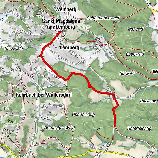
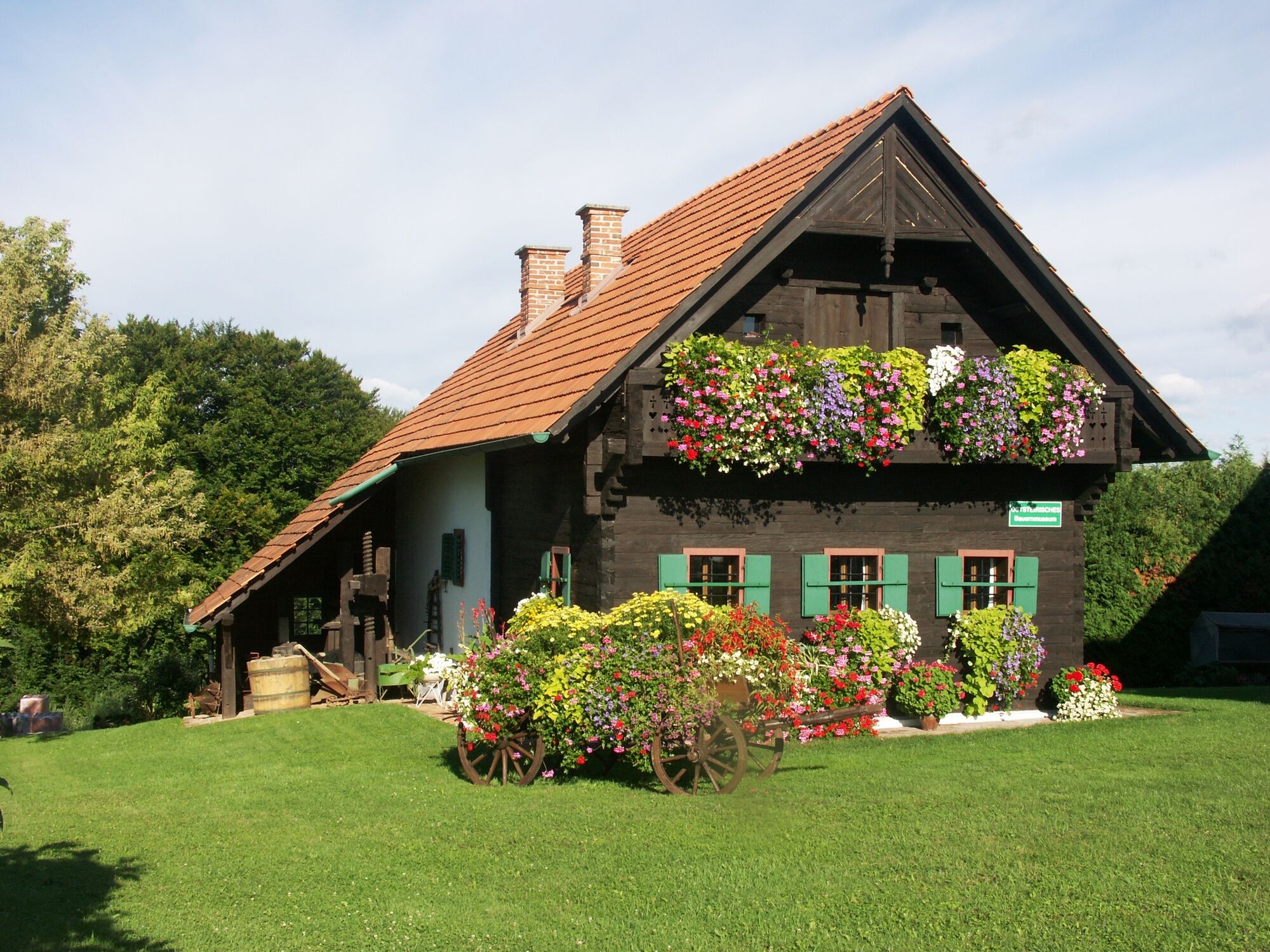
center St. Magdalena
- Route
-
Sankt Magdalena am LembergSchmiedböck1.9 kmLängenbach4.2 km
- Best season
-
JanFebMarAprMayJunJulAugSepOctNovDec
- Description
-
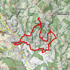
Starting point of the hiking tour is the center of St. Magdalena. The 5.5 km long hike, as the name suggests, leads through various forests of the 2-Thermenregion.
- Directions
-
Starting point of the hiking route is the center of St. Magdalena. Start in the direction of Harras to Schmiedböck. Turn left and hike through the forest to Längenbach. Now you can either go back the same way or decide to keep the direction and continue towards Oberlimbach on the connecting trail W6 Keltischer-Baumkreis-Weg to Bad Waltersdorf.
Start from the center of St. Magdalena direction Harras to Schmiedböck left through the forest to Längenbach the same way back to St. Magdalena to the starting pointOR continue in the direction of Oberlimbach on connecting trail W6 Celtic Tree Circle Trail to Bad Waltersdorf
- Highest point
- 452 m
- Endpoint
-
center St. Magdalena
- Height profile
-

- Equipment
-
Proper backpacking makes many things easier: pack heavy things first. The water bottle should always be within easy reach in a side pocket. All things that are often needed, such as sunglasses, camera or hiking map, belong on top. An emergency kit including blister plaster belongs in every backpack and a clothing according to the "onion system" is always recommended!
- Safety instructions
-
Important emergency numbers:
Emergency call mountain rescue: 140
Emergency call fire department: 122
Emergency call police: 133
Emergency call rescue: 144
Euro emergency call: 112
ÖAMTC emergency breakdown call: 120
ARBÖ emergency breakdown call: 123
Tip for emergency reporting - give answers to the six W-questions:
What happened?
How many injured?
Where did the accident happen (possibly GPS coordinates)?
Who is reporting (callback number)?
When did the accident happen?
Weather at the accident site?
- Tips
-
You can decide whether you want to go back the same way to St. Magdalena or whether you want to add the connecting trail W6 to your tour.
- Additional information
- Directions
-
Aus Richtung Wien: Autobahn A2 Richtung Graz - Sie nehmen die Abfahrt Sebersdorf/ Bad Waltersdorf, dann Richtung St. Magdalena
Aus Richtung Graz: Autobahn A2 Richtung Wien - Sie nehmen die Abfahrt Sebersdorf/ Bad Waltersdorf, dann Richtung St. Magdalena
- Public transportation
-
Find timetables and travel information directly at: Austrian Federal Railways (ÖBB), Steiermärkische Landesbahnen (STLB), www.busbahnbim.at.
With the BusBahnBim app from Verbundlinie, timetable information has never been easier: all bus, train and streetcar connections in Austria can be queried by entering locations and/or addresses, stops or important points. The app is available as a free app for smartphones (Android, iOS) - on Google Play and in the App Store.
Thermen-Genuss-Taxi: With a valid guest pass, guests can be transported within the 2-Thermenregion Bad Waltersdorf from Mon. to Sun. 5 p.m. to 11 p.m. at a rate of € 1.00 p.p./trip. To the places Auffen-Großhart-Buch-Magdalena as well as Bad Blumau the single direction costs € 2,50 p.p.. - please book in time under +43 664/455 45 00
Thermenlandbus: From Vienna comfortably with the Thermenlandbus to Bad Waltersdorf.
- Parking

-

-
AuthorThe tour Forest trail (Waldwanderweg) is used by outdooractive.com provided.


General info
-
Thermen- & Vulkanland
1324
-
Bad Waltersdorf
624
-
Buch-St. Magdalena
143