- Brief description
-
Let's give free rein to our palate! Beautiful nature in a wonderful cultural landscape.
- Difficulty
-
medium
- Rating
-
- Starting point
-
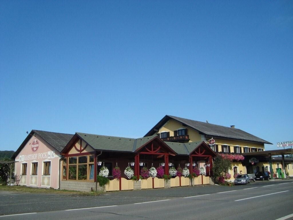
Old municipal office Hof - Gasthof Puxamühle
- Route
-
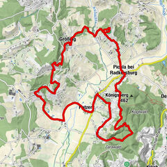
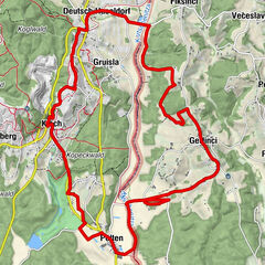
Puxa0.0 kmGasthof Pock zur Puxamühle0.1 kmGasthof Pock, Zur Puxamühle0.1 kmNeustift1.8 kmOberneusetzberg3.6 kmWeingut Krispel5.0 kmSulzbach6.9 kmHof bei Straden7.6 kmJohannisbrunn8.2 kmGasthof Pock, Zur Puxamühle10.0 kmGasthof Pock zur Puxamühle10.0 kmPuxa10.0 km
- Best season
-
JanFebMarAprMayJunJulAugSepOctNovDec
- Description
-
Around Straden is a true region of pleasure with volcanic climate - delicacies from Mangalitza pig, sheep and goat cheese, apple balsamic, vinegar plums, nibbles, spicy chutney, pumpkin seed oil, raw ham from the deer, parade ice cream jam with ginger, liver spread crusty farmhouse bread... mhmmm!
- Directions
-
We start our hike at the old municipal office, the fire station of Hof in the direction of Halbenrain (left). We turn immediately left at the last house and hike and the flower meadows, through forests and come to vineyards and orchards. At the edge of the Hollundergarten we find a gap in the fence! Finally we come to Neustift on a ridge of hills.
On the village road we soon reach a mixed forest again, through which we hike to the Hochstrandler. At the sign "Hochstrandler" we take the right road. Here we hike wonderfully along the ridge and can enjoy the wide valley. After the road turns into a forest road through the forest, we soon turn left. Shortly we come out of the forest and hike steeply down through the meadow.
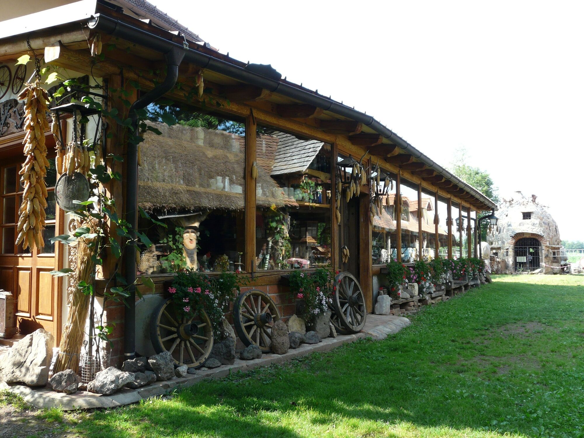
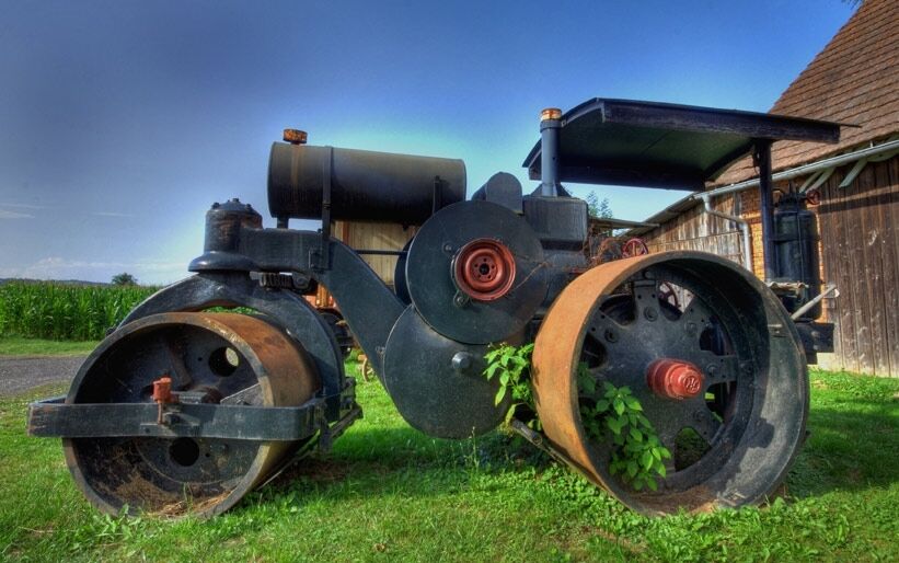
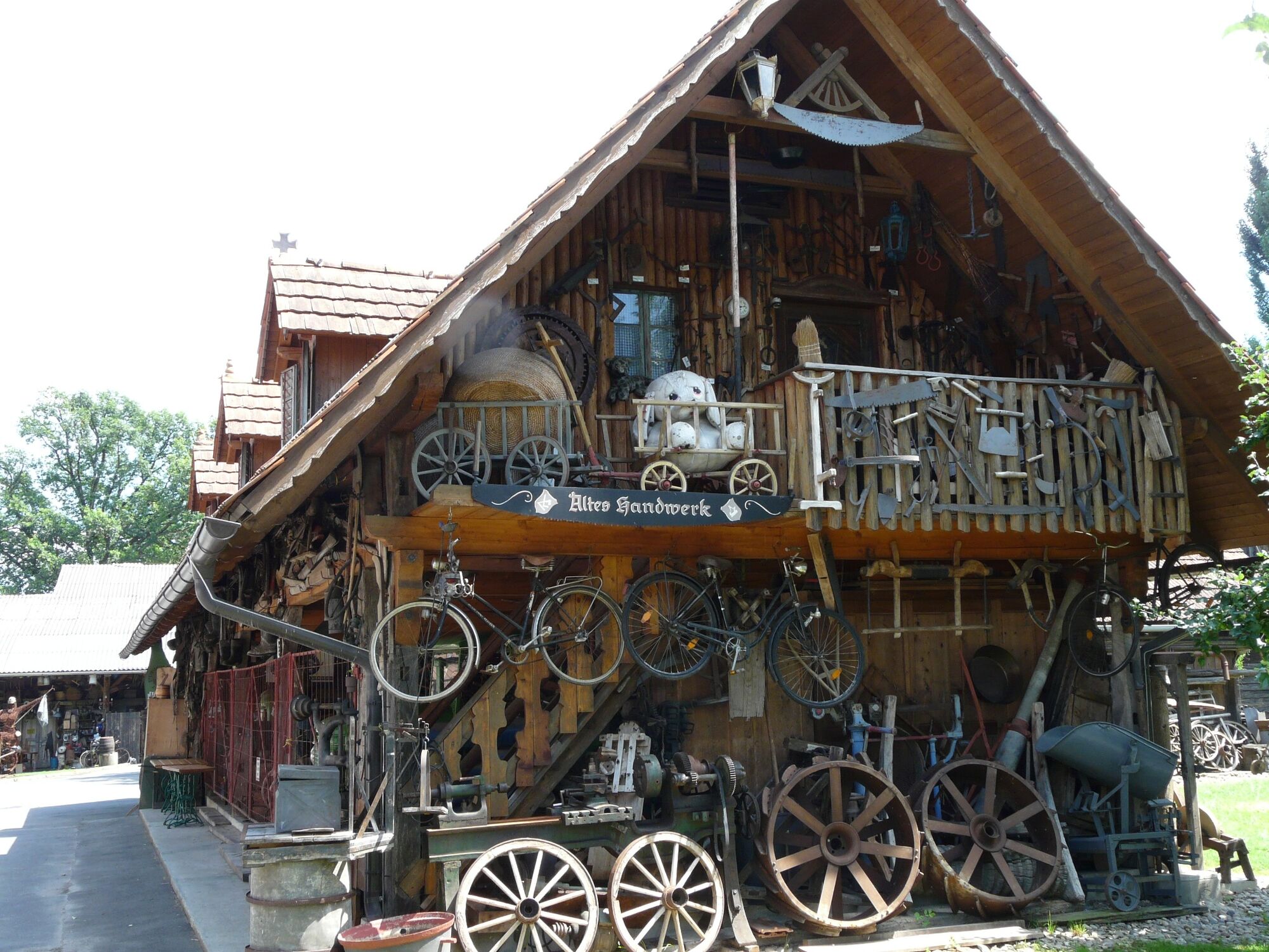
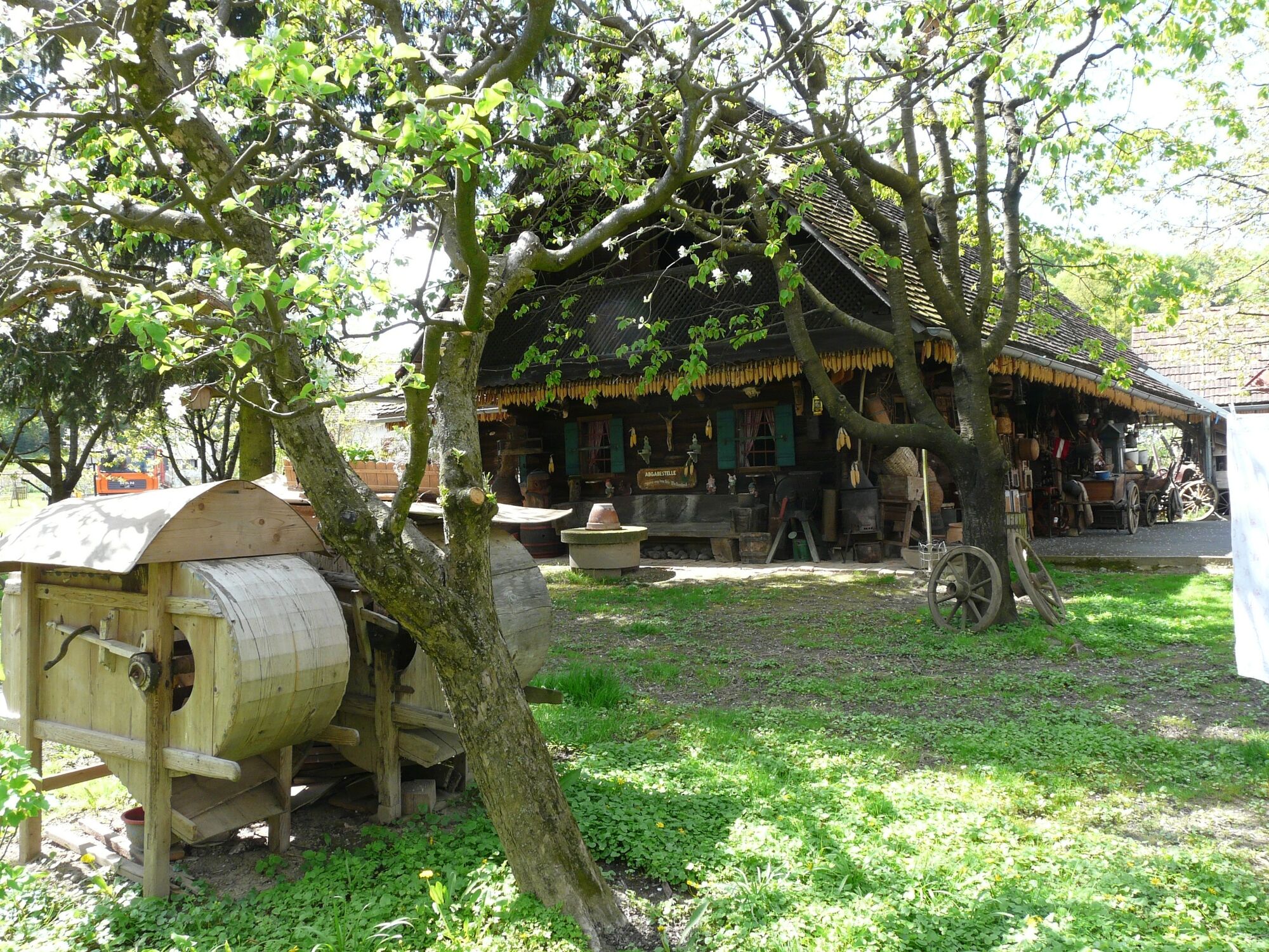
Then we follow the road to the left until we reach the Genussgut Krispel, there we continue along the road from Hof to Frutten. After a refreshment, we follow the road downhill only briefly and immediately turn right onto a side road that leads us over a few bends and a ditch to Ziegel.We now hike along the edge of the forest, and then dive into the forest after all. Thus we come back to the Sulzbach valley on our hike. Across a meadow and over the main road we reach the beautiful farmhouses of Hof bei Straden, and its light column from 1514 at the end of the village, which is a great rarity with its turned base. The small road brings us to Johannisbrunn, where the "Museum Triangle" is located, with the Museum of Medicinal Water and Wedding and the "Museum of Nostalgic Country Life". Here the springs of the valley are most noticeable. But immediately after the bridge, at the unfortunately closed department store, we continue to the left and in the next right turn we take the dirt road straight ahead. We follow it, turn left once again and reach Puxa through meadows and fields. At the sports field we reach our starting point again.
- Highest point
- 414 m
- Endpoint
-
Old municipal office Hof - Gasthof Puxamühle
- Height profile
-

- Equipment
-
Backpack with water bottle and snack
Comfortable walking shoes
Comfortable clothing
Hiking or Nordic walking sticks
Rain protection
Cell phone
Cash - Safety instructions
- Tips
-
After the hike along the Culinary Trail a game of skittles at the Gasthof Puxamühle!
- Additional information
- Directions
- Public transportation
-
Find timetables and travel information directly at: Austrian Federal Railways (ÖBB), Steiermärkische Landesbahnen (STLB), www.busbahnbim.at.
With the BusBahnBim app from Verbundlinie, timetable information has never been easier: all bus, train and streetcar connections in Austria can be queried by entering locations and/or addresses, stops or important points. The app is available as a free app for smartphones (Android, iOS) - on Google Play and in the App Store.
With the bus of the Steiermärkische Landesbahnen you can easily reach the starting point from Bad Radkersburg or Bad Gleichenberg.
- Parking
-
Free parking available at the starting point.


- Author
-
The tour Culinary trail (Kulinarikweg) is used by outdooractive.com provided.


General info
-
Oststeiermark
2126
-
Region Bad Radkersburg
217
-
Straden
135