- Brief description
-
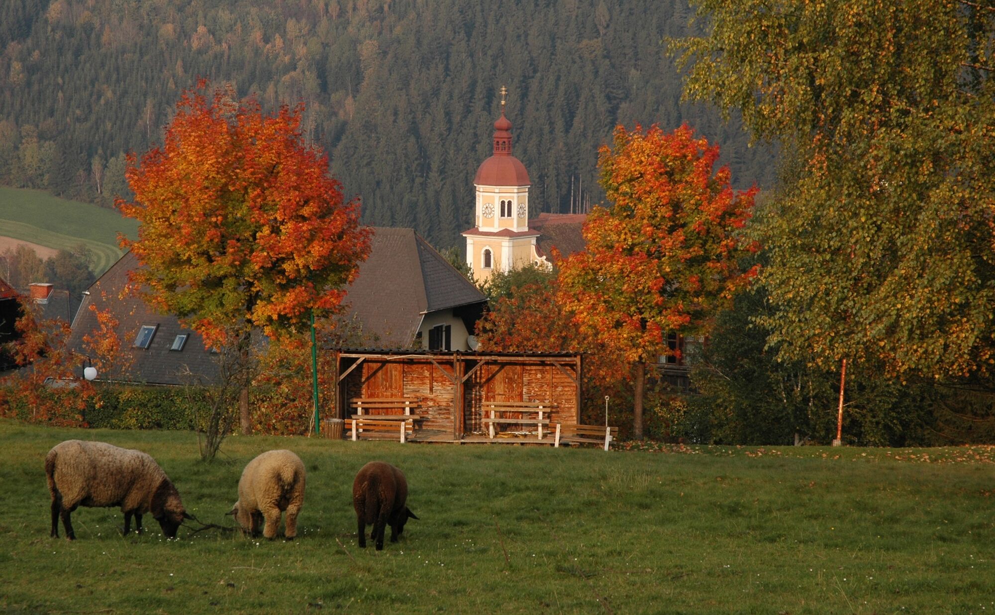
Hike through the market town of Birkfeld
- Difficulty
-
easy
- Rating
-
- Starting point
-
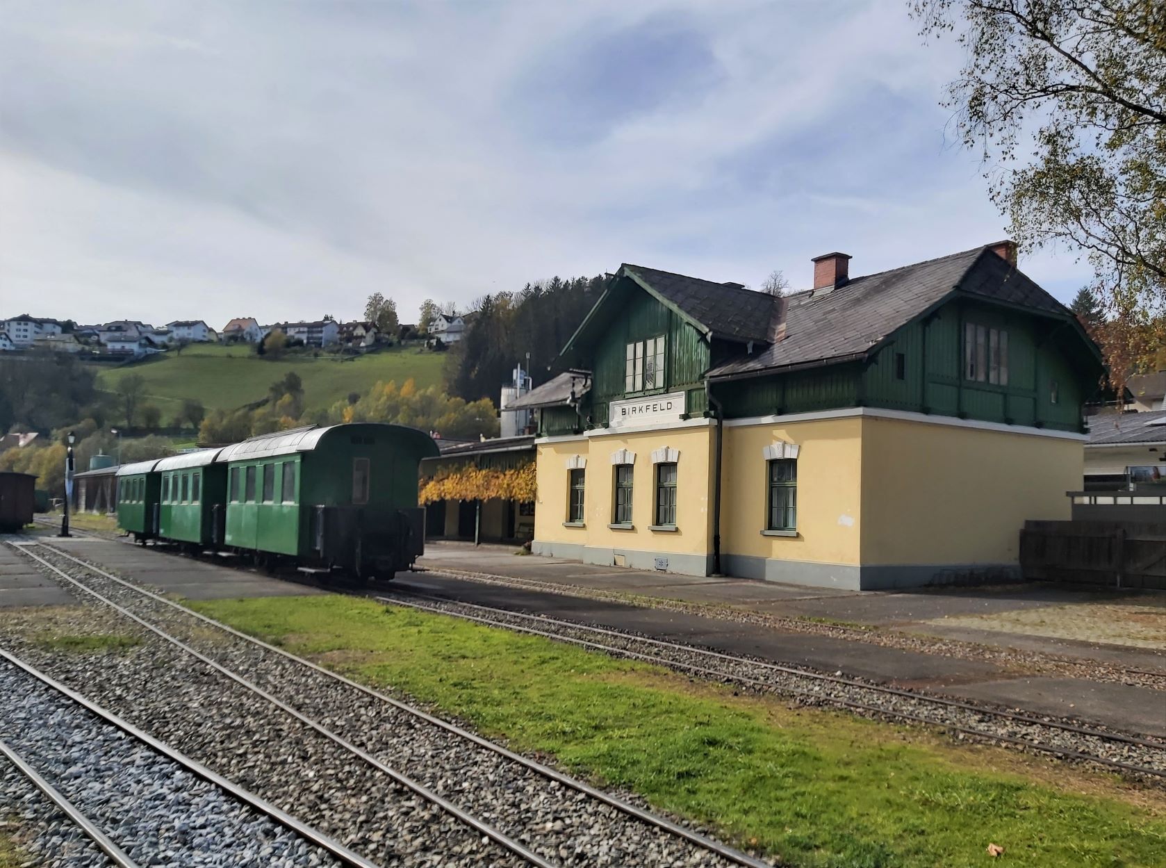
Former train station, Birkfeld
- Route
-
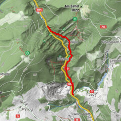
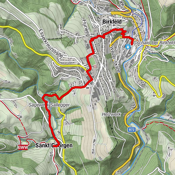
Spielplatz R80.1 kmPfarrkirche St. Peter und Paul0.5 kmBirkfeld0.6 kmBetulla0.6 kmSchlagers Kaffeewirtshaus0.6 kmFidlschuster1.5 kmSankt Georgen3.5 kmGrünbichler3.5 kmFilialkirche St. Georgen3.5 kmFidlschuster5.4 kmSchlagers Kaffeewirtshaus6.4 kmPfarrkirche St. Peter und Paul6.4 kmBetulla6.4 kmBirkfeld6.4 kmSpielplatz R86.9 km
- Best season
-
JanFebMarAprMayJunJulAugSepOctNovDec
- Description
-
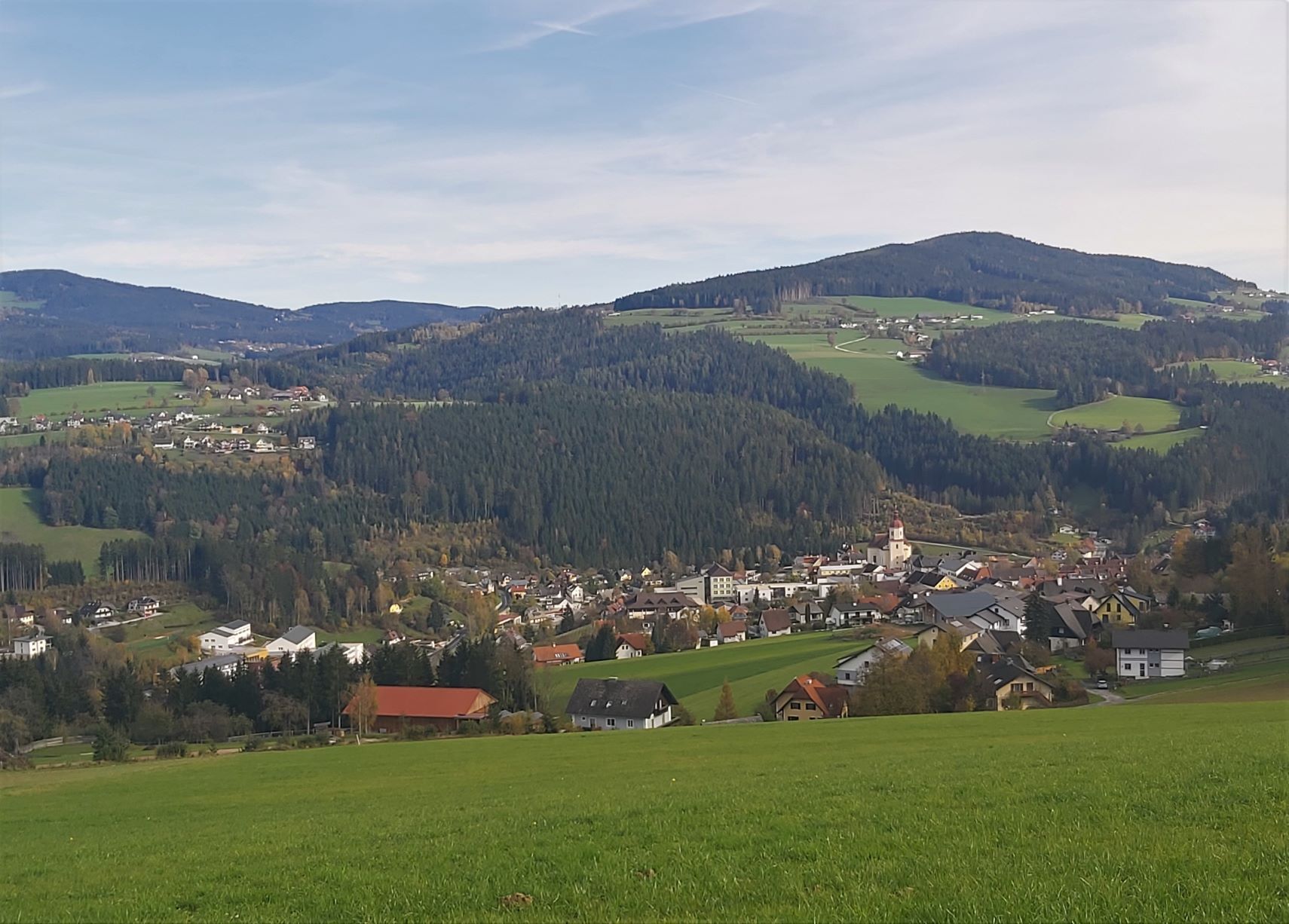
Hike from Birkfeld to St. Georgen and back again to Birkfeld
- Directions
-
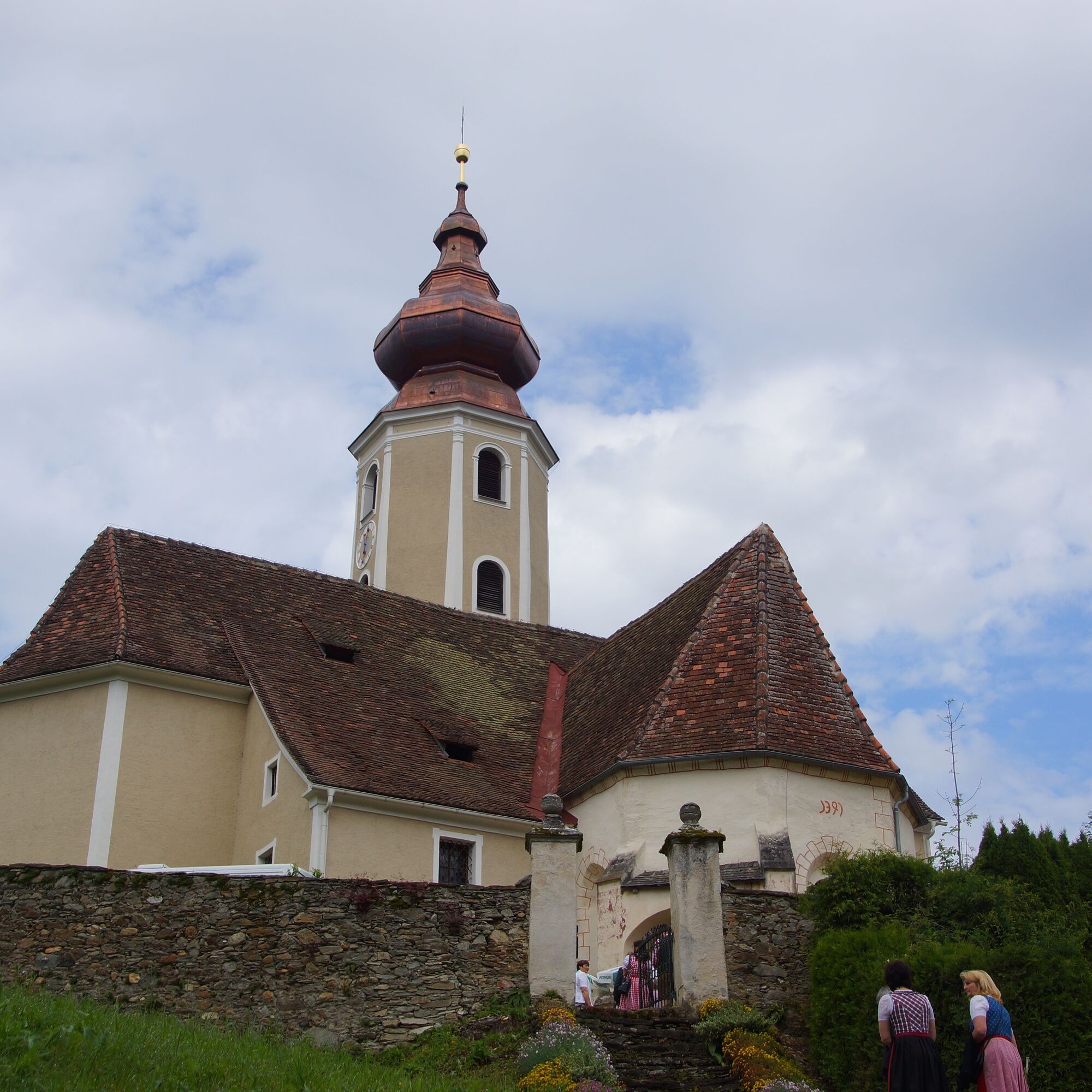
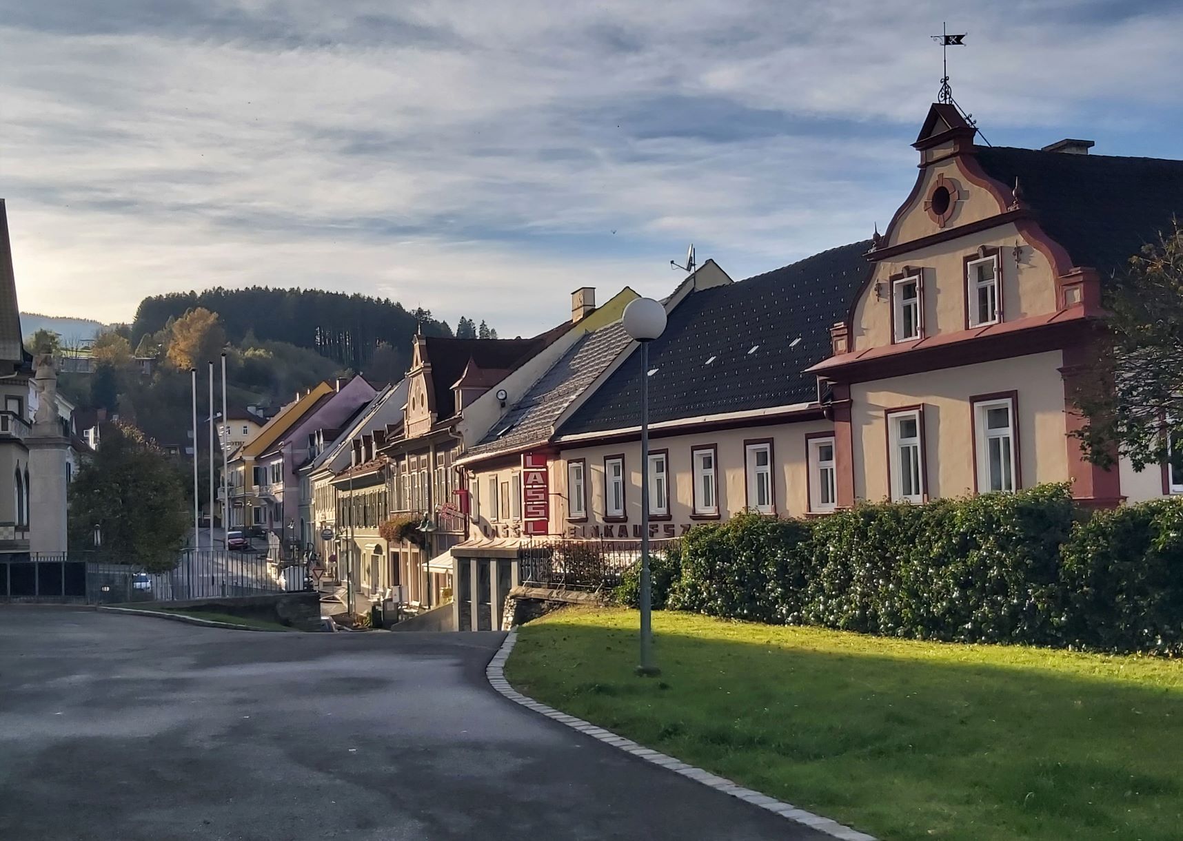
We start the hike at the Birkfeld railway station car park and walk along the pavement past the petrol station up "Dechantleitenweg" towards the centre of Birkfeld, from the lower main square straight on to the upper main square, past the Mariensäule (St Mary's Column) up towards Bergasse, keep left after the pharmacy to Borg and come to Birkengasse, which we walk along and past the sports field, then on the right is the Fidlschuster restaurant (refreshment stop) and on the left is Schokoladen Felber. In front of us is now the tennis hall (sports cafe), at the safety path we cross Gasener Straße and walk along the pavement of the road past Lieb Markt and Billa, after approx. 200 m we leave the road and turn right into the forest path. Walk down through the forest to the bridge over the Gasenbach, turn left after the bridge and you will see the Sallegger sawmill on your left. Continue along the road for about 500 m, then a small path on the right leads you into the forest, which you follow uphill for about 200 m until you reach St. Georgen, where you can stop for refreshments at the Grünbichler inn. Strengthened, we hike back along the same path to the starting point.
- Highest point
- 691 m
- Endpoint
-
Former train station, Birkfeld
- Height profile
-

- Equipment
-
Small backpack with water bottle (+ provisions)
Sturdy shoes
Appropriate clothing - if possible several layers - "onion principle".
Rain and sun protectionWalking sticks as required
Mobile phone
Small first aid kit
Route description
Before starting the hike, check the possibilities for refreshments, including opening times, or pack appropriate food and drink.
- Safety instructions
-
European emergency call: 112
Emergency call mountain rescue: 140 (if possible please provide GPS data)
Rescue: 144
Fire brigade: 122
Police: 133
A few tips on correct and fair behaviour in the forest: (Source: www.bundesforste.at )
Hikers should avoid visits to the forest about 1.5 hours before sunrise and after sunset, as wild animals are particularly active during this time.
Plastic bottles, handkerchiefs, cigarette butts etc. have no place in the forest! Please make sure that you do not leave any rubbish in the forest.
Camping and lighting fires are strictly forbidden in the forest!
In principle, every person is allowed to pick 2 kg of mushrooms and berries per day for personal use. It is only prohibited if the forest owner expressly forbids it.
- Tips
-
In Birkfeld there are a number of excursion destinations, such as the sound tunnel or the Felber chocolate factory, which can be excellently combined with a hike.
- Additional information
-
Information about the region, places to stop for refreshments and overnight stays, excursion destinations, etc., can be found here:
East Styria Tourist Board
Office Joglland-Waldheimat
Church Quarter 24
8255 St. Jakob im Walde
Tel.: +43 3336/ 20 255
Joglland-Waldheimat
Eastern Styria
Current weather
Mobility East Styria with SAM shared taxi
- Directions
- Public transportation
- Parking
- Author
-
The tour Hiking trail Birkfeld - St. Georgen is used by outdooractive.com provided.


General info
-
Hochsteiermark
4072
-
ApfelLand - Stubenbergsee
1141
-
Birkfeld
377