


- Brief description
-
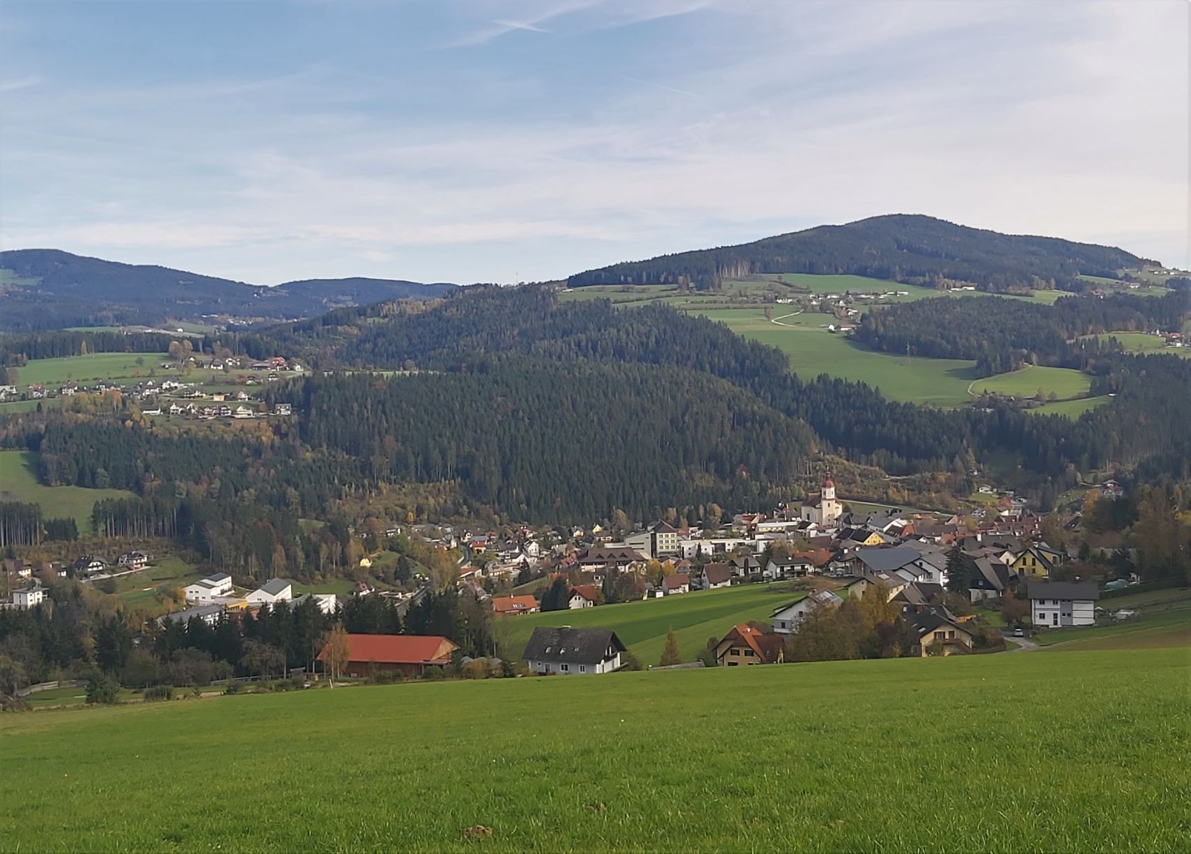
The hike through village and woods, leads us to one of the most beautiful viewpoints.
- Difficulty
-
difficult
- Rating
-
- Starting point
-
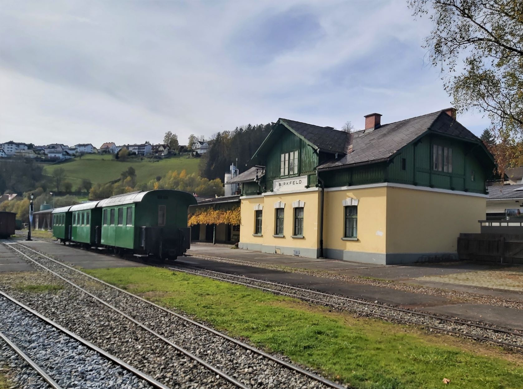
Birkfeld railway station car park
- Route
-
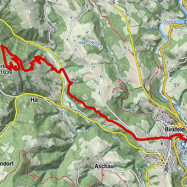
Spielplatz R80.1 kmPfarrkirche St. Peter und Paul0.5 kmBirkfeld0.5 kmBetulla0.6 kmSchlagers Kaffeewirtshaus0.6 kmHaslau bei Birkfeld4.1 kmSchoberkogl (1,039 m)8.2 kmHaslau bei Birkfeld13.3 kmSchlagers Kaffeewirtshaus16.8 kmPfarrkirche St. Peter und Paul16.8 kmBetulla16.8 kmBirkfeld16.9 kmSpielplatz R817.4 km
- Best season
-
JanFebMarAprMayJunJulAugSepOctNovDec
- Description
-
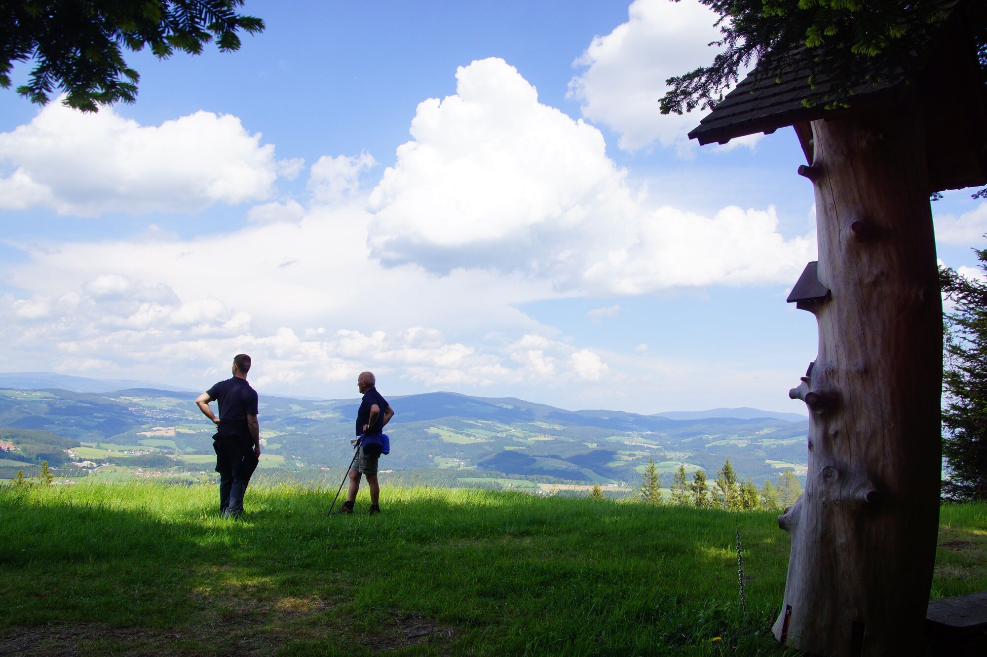
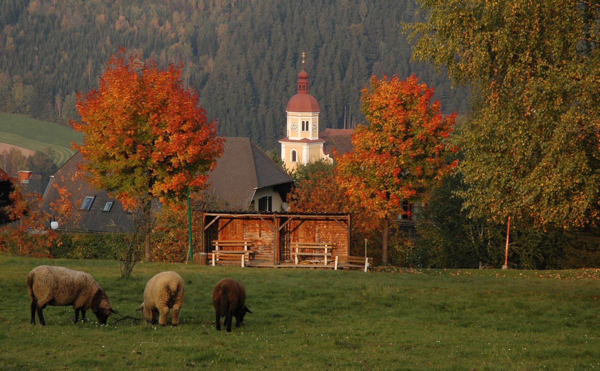
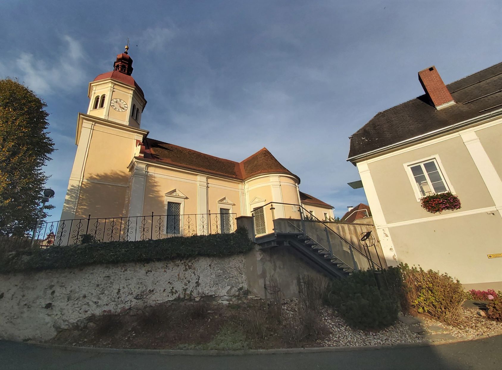
On the Schoberkogel you can see the 7 church towers around Birkfeld, as well as enjoy the magnificent view.
- Directions
-
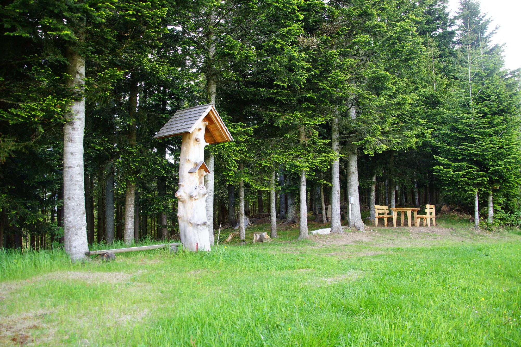
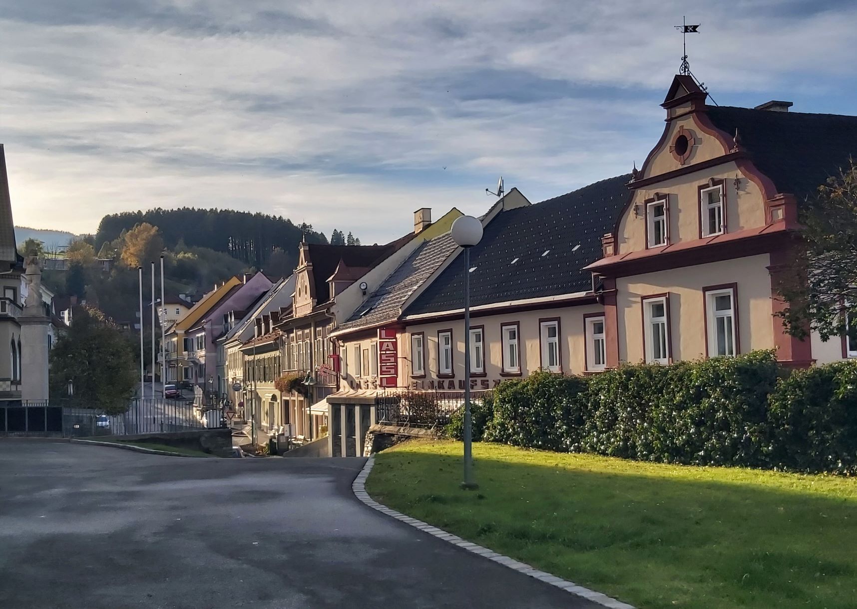
We start the hike at the Birkfeld railway station car park and walk along the pavement past the petrol station up the "Dechantleitenweg" towards the centre of Birkfeld, from the lower main square straight on to the upper main square, past the Marian column up towards Bergasse, at the water hydrant we go straight on into the forest and then come to the Esser Kreuz, cross the Pireggerstrasse and follow the Alte Gasenerstrasse, past the Laglbauer farm and the Jagaleitner farm through the forest. After a few kilometres you come to Breitenauer Landesstrasse, with the Baumgartmühle inn on your right. At this road we go left over the bridge and after about 50m we go right, past the houses, from now on it's uphill again, after the farm "Hansl in der Leitn" we hike up through the forest and come to the farm "Schoberbauer" and thus it's not far to the Schoberkogel. Arriving at the Schoberkogl we are rewarded with a beautiful view and you can see 7 church towers. After the rest at the Schoberkogel, we walk a short distance along the path from where we came, but then keep to the right, so that we hike around the Schoberkogel and come back at a high seat where the tour closes and walk back along the same path to the starting point at Birkfeld station.
- Highest point
- 1,029 m
- Endpoint
-
Birkfeld railway station car park
- Height profile
-

- Equipment
-
Small backpack with water bottle (+ provisions)
Sturdy shoes
Appropriate clothing - if possible several layers - "onion principle".
Rain and sun protectionWalking sticks as required
Mobile phone
Small first aid kit
Route description
Before starting the hike, check the possibilities for refreshments, including opening times, or pack appropriate food and drink.
- Safety instructions
-
European emergency call: 112
Emergency call mountain rescue: 140 (if possible please provide GPS data)
Rescue: 144
Fire brigade: 122
Police: 133
A few tips on correct and fair behaviour in the forest: (Source: www.bundesforste.at )
Hikers should avoid visits to the forest about 1.5 hours before sunrise and after sunset, as wild animals are particularly active during this time.
Plastic bottles, handkerchiefs, cigarette butts etc. have no place in the forest! Please make sure that you do not leave any rubbish in the forest.
Camping and lighting fires are strictly forbidden in the forest!
In principle, every person is allowed to pick 2 kg of mushrooms and berries per day for personal use. It is only prohibited if the forest owner expressly forbids it.
- Tips
-
The refreshment stops directly along the trail provide refreshments along the way, for example at the Baumgartmühle inn before heading uphill to the Schoberkogel.
- Additional information
-
You can find information about the region, places to stop and stay overnight, excursion destinations, etc. here:
Eastern Styria Tourism Association
Joglland-Waldheimat office
8255 St. Jakob im Walde
Tel.: 03336/20255
info@joglland.at
www.joglland-waldheimat.at
Eastern Styria
current weather
Mobility Eastern Styria with shared taxi SAM
- Arrival
- Parking
- Author
-
The tour Schoberkogelweg is used by outdooractive.com provided.


General info
-
Hochsteiermark
4072
-
Naturpark Almenland
1767
-
Birkfeld
377


